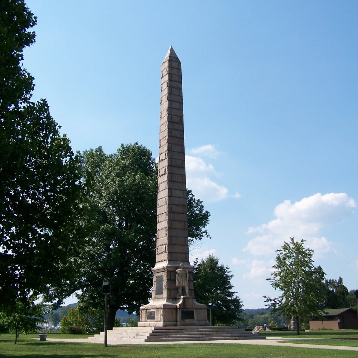
Photo: Wikipedia
Strategic Assessment of Mason County
Workable tactical position. Some exposure to population density or targets, but generally defensible in a crisis.
What does the Strategic Assessment tell us?
Our Strategic Assessment grades tactical survivability of an area. Major population centers, military targets, fallout zones, natural disasters, and border exposure all drive risk — lower exposure means a more defensible position in a crisis.
This is heavily inspired by Joel Skousen's Strategic Relocation book. Highly recommended you checkout the book ($)What does this tell us?
Our Strategic Assessment grades tactical survivability of an area. Major population centers, military targets, fallout zones, natural disasters, and border exposure all drive risk — lower exposure means a more defensible position in a crisis.
This is heavily inspired by Joel Skousen's Strategic Relocation book. Highly recommended you checkout the book ($)Strategic Pillars

Key Distances
Strategic Assessment Analysis
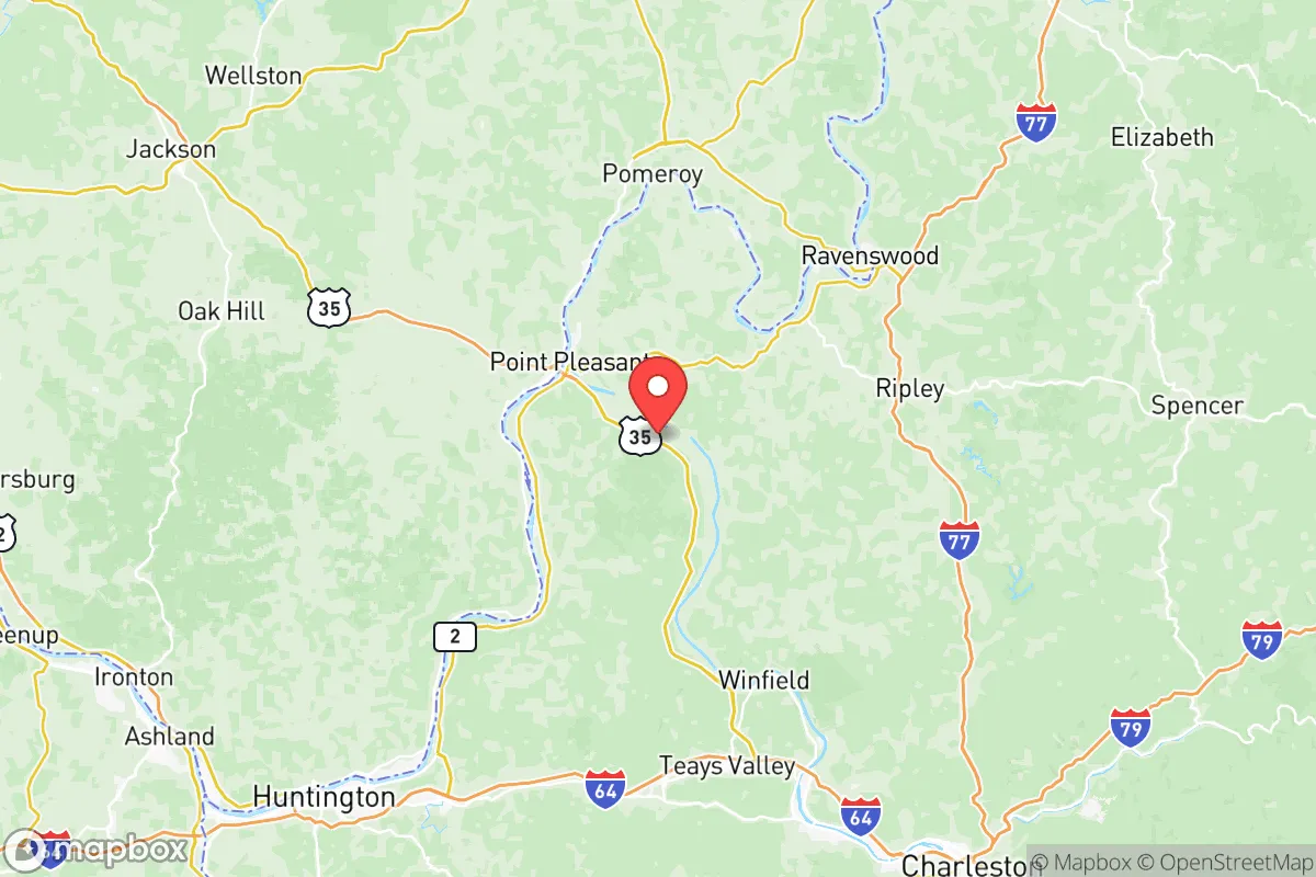
Mason County, West Virginia, occupies a strategic position along the Ohio River that offers a compelling mix of isolation and accessibility for relocators prioritizing resilience and self-sufficiency. Located roughly 45 miles northwest of Charleston and 60 miles southeast of Huntington, the county avoids the direct fallout zones of major metropolitan targets while remaining within a practical distance of essential supplies and medical infrastructure. The county seat, Point Pleasant, sits at the confluence of the Ohio and Kanawha Rivers, a geographic anchor that has historically shaped the area's economy and defensive character.
Geographic position and natural advantages for long-term resilience
Mason County's primary strategic asset is its position within the Appalachian foothills, offering a mix of river valley bottomland and forested ridgelines that provide natural cover and defensible terrain. The Ohio River forms the county's western border, creating a natural barrier against approach from that direction while also serving as a major transportation corridor for bulk goods and water supply. The county's interior is characterized by rolling hills and hollows, with numerous small streams and creeks feeding into the Kanawha and Ohio Rivers. This topography limits large-scale agricultural potential but provides ample woodlands for timber, fuel, and game. The area's karst geology includes limestone deposits that support groundwater aquifers, though well yields vary significantly by location. For a relocator seeking a balance between remoteness and access, the communities of Henderson, Leon, and Hartford offer deeper rural positions away from the river corridor, while Point Pleasant and New Haven provide more immediate access to river transport and regional road networks. The county's position places it roughly 100 miles from the Pittsburgh metropolitan area and 150 miles from Columbus, Ohio, distances that provide meaningful separation from potential primary target zones while still allowing for supply runs under normal conditions.
Exposure to natural hazards and proximity to man-made risks
Mason County faces a moderate natural hazard profile dominated by riverine flooding, particularly along the Ohio and Kanawha Rivers. The 1937 flood remains the benchmark event, with water levels reaching 62.6 feet at Point Pleasant, and the county has experienced significant flood events in 1997, 2004, and 2018. Properties in the river bottoms and near tributary creeks carry the highest flood risk, while homes situated on the ridgelines above the valley floor are largely insulated from this threat. The county lies outside the primary New Madrid Seismic Zone impact area but can expect moderate shaking from a major event. Tornado risk is below the Midwest average but not negligible, with the county averaging one to two tornado warnings per year. From a man-made risk perspective, the county's position along the Ohio River places it downstream from several chemical and industrial facilities, including the Mountaineer Power Plant in neighboring Mason County and the Silver Run area industrial corridor. The Gavins Point Dam on the Kanawha River and the Racine Locks and Dam on the Ohio represent potential infrastructure failure points, though their primary risk is flooding rather than catastrophic release. The county is approximately 90 miles from the Portsmouth Gaseous Diffusion Plant in Ohio, a former uranium enrichment facility that remains a Superfund site, and roughly 120 miles from the Idaho National Laboratory—distances that provide meaningful separation from worst-case scenarios. For the resilience-minded relocator, the primary man-made concern is the chemical barge traffic on the Ohio River, which carries chlorine, ammonia, and other hazardous materials through the county's river corridor.
Practical resilience for relocators: food, water, energy, and defensibility
Mason County offers a mixed picture for practical self-sufficiency. The county's agricultural base is modest, with approximately 35,000 acres of farmland primarily devoted to hay, corn, and soybeans, plus a small but established livestock sector. Local food production is sufficient for supplemental subsistence but would not support a significant population increase without expanded cultivation. The county has two farmers' markets—one in Point Pleasant and one in New Haven—and a growing network of small-scale producers selling meat, eggs, and produce directly to consumers. For water security, the Ohio River provides an abundant surface water source, but treatment and storage are required for safe consumption. Rural properties with drilled wells tapping into the limestone aquifer typically yield 5 to 15 gallons per minute, adequate for household use but requiring backup power for pumping. The county's energy infrastructure includes the Kyger Creek Power Plant in neighboring Gallia County, Ohio, and the Mountaineer Plant in Mason County itself, both coal-fired facilities that provide grid stability but represent single points of failure. Natural gas is widely available in the river corridor but limited in rural areas. For off-grid energy, the county's tree canopy creates challenges for solar, though south-facing ridgelines offer viable sites. Wood heating is the most practical backup, with abundant timber resources and established firewood suppliers. Defensibility varies by location: the river corridor offers multiple approach routes and limited natural barriers, while the interior hollows and ridgelines provide more defensible positions with single-access roads and good visibility. The county's population density of roughly 55 people per square mile means neighbors are present but not crowding, and the local culture of hunting, fishing, and firearms ownership is well-established. The Mason County Sheriff's Office and Point Pleasant Police Department provide law enforcement coverage, but response times in rural areas can exceed 20 minutes.
The overall strategic picture for Mason County is one of moderate resilience with specific strengths and clear limitations. The county's position along the Ohio River provides water access and transportation options but also introduces flood risk and exposure to industrial barge traffic. The interior hills offer defensible terrain and timber resources, while the river valley provides agricultural bottomland and access to regional supply chains. For a relocator seeking a balance between isolation and practicality, Mason County represents a viable option that avoids the extreme risks of major metropolitan areas while maintaining access to essential infrastructure. The key trade-offs are clear: the river corridor offers convenience and water access but carries flood and industrial exposure, while the interior positions provide greater security at the cost of longer travel times and reduced access to supplies. The county's small-town character, established hunting culture, and relatively low land prices make it a practical choice for the resilience-minded relocator who understands that no location is perfect and that preparation, not geography, ultimately determines outcomes.

* Values derived from national, state, county, city and local statistics and may differ in a specific area. Last updated: 2026-07-03T16:27:19.000Z
Narrative content on this page is AI-generated and may contain mistakes. Verify any details that matter before acting on them.
ReloMaps may earn a commission from affiliate links at no extra cost to you.

