Photo: Wikipedia
Strategic Assessment of Jackson County
Workable tactical position. Some exposure to population density or targets, but generally defensible in a crisis.
What does the Strategic Assessment tell us?
Our Strategic Assessment grades tactical survivability of an area. Major population centers, military targets, fallout zones, natural disasters, and border exposure all drive risk — lower exposure means a more defensible position in a crisis.
This is heavily inspired by Joel Skousen's Strategic Relocation book. Highly recommended you checkout the book ($)What does this tell us?
Our Strategic Assessment grades tactical survivability of an area. Major population centers, military targets, fallout zones, natural disasters, and border exposure all drive risk — lower exposure means a more defensible position in a crisis.
This is heavily inspired by Joel Skousen's Strategic Relocation book. Highly recommended you checkout the book ($)Strategic Pillars

Key Distances
Strategic Assessment Analysis
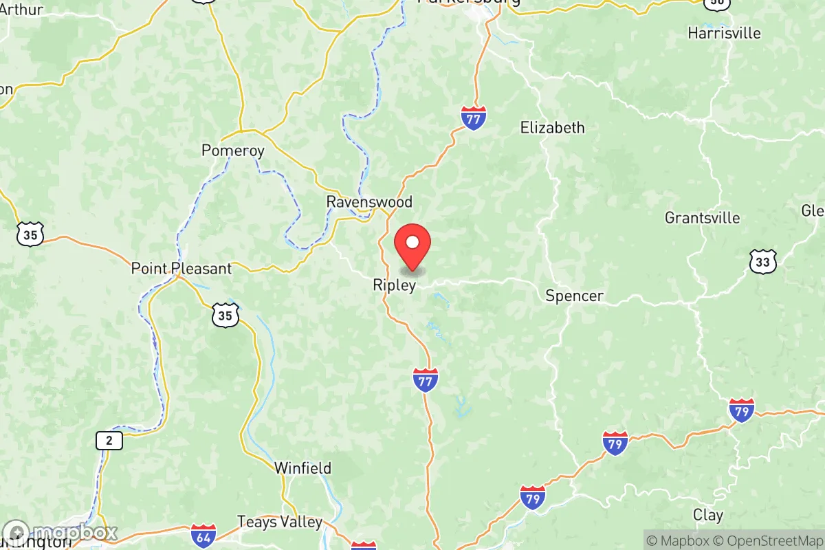
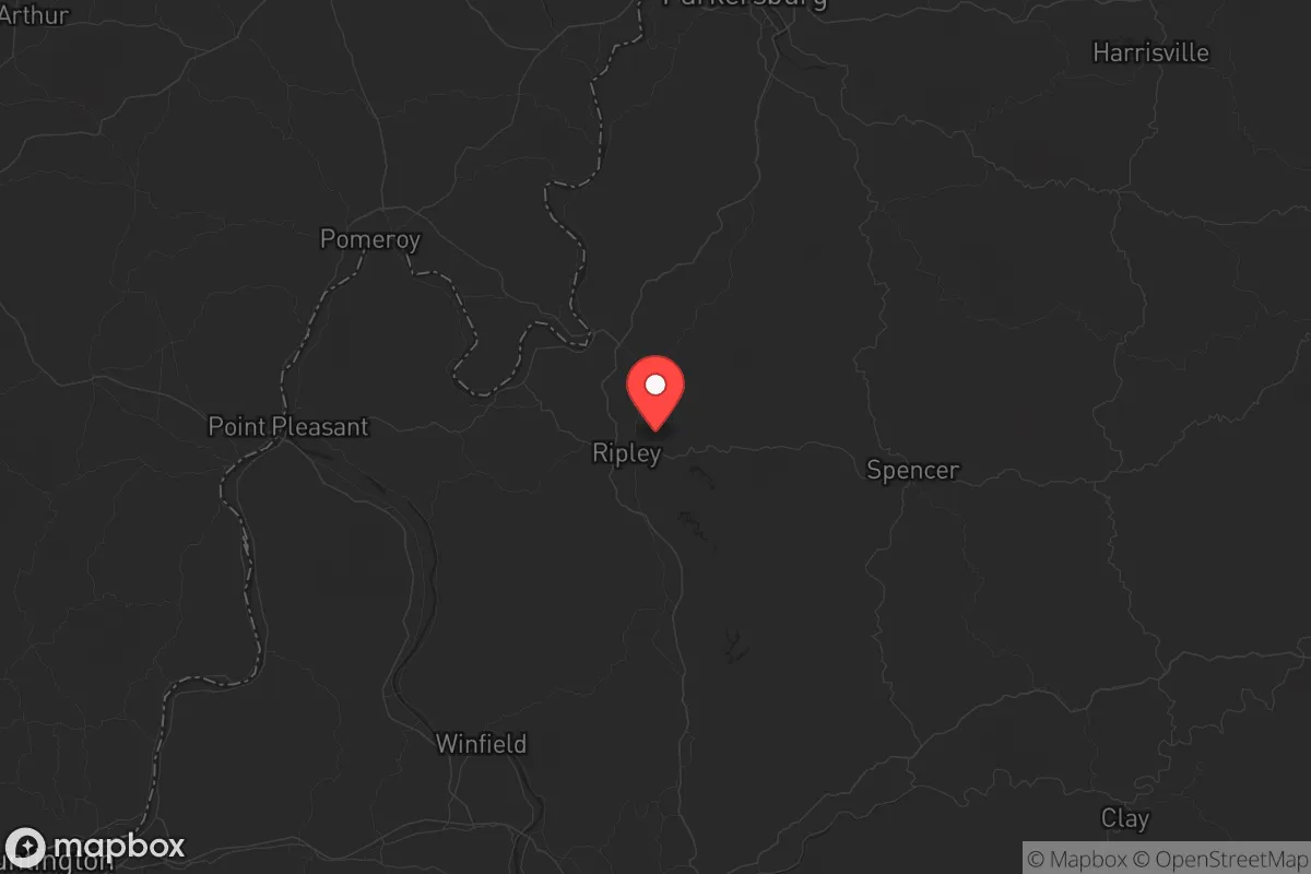
Jackson County, West Virginia offers a strategic relocation option for those prioritizing resilience, offering a blend of geographic isolation and practical self-sufficiency that is increasingly rare in the lower 48. Located along the Ohio River, the county sits in a sweet spot—far enough from major population centers to avoid the worst of civil unrest or fallout, yet close enough to access critical resources and supply lines. For the conservative prepper or survivalist, this area presents a defensible, resource-rich environment that can sustain a family through a range of disruptions, from economic collapse to natural disasters.
Geographic position and natural advantages for long-term survival
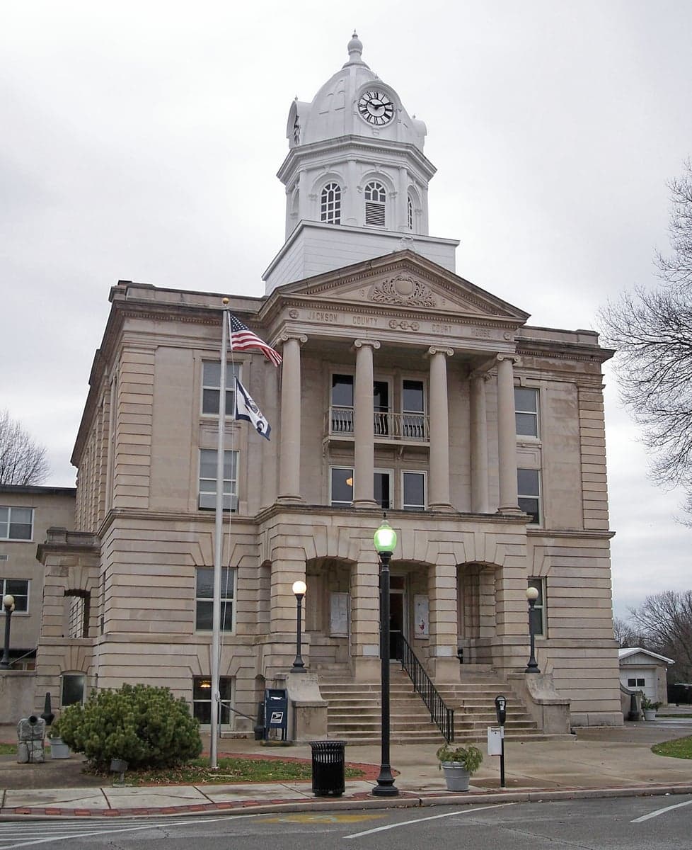
Jackson County’s location is its primary strategic asset. It lies roughly 60 miles north of Charleston and 50 miles south of Parkersburg, placing it outside the immediate blast radius or fallout zones of any major city. The county is bisected by the Ohio River, which provides a reliable water source and a natural barrier against approach from the west. The terrain is rolling hills and forested ridges, offering ample cover and defensible positions. The county seat, Ripley, sits on a high bluff overlooking the river, a natural vantage point. The nearby town of Ravenswood, home to a major aluminum plant (Constellium), is a double-edged sword—it provides industrial resources but also a potential target. However, the plant’s location along the river means prevailing winds would carry fallout eastward, away from most residential areas. The surrounding Wayne National Forest and the Ohio River Islands National Wildlife Refuge offer vast, unpopulated buffer zones, making ingress and egress difficult for large groups. This is not a corridor for mass migration; it’s a backwater, and that’s exactly the point.
Risks, exposures, and proximity to fallout-relevant landmarks
No location is without risk, and Jackson County has its share. The most significant exposure is the Ohio River itself—a major industrial waterway. The river carries barge traffic from chemical plants, refineries, and coal terminals upstream, including the massive Houston, PA refinery corridor (though that’s far upstream) and the Morgantown industrial complex. A major accident or sabotage on the river could contaminate the water supply for weeks. The county is also within 100 miles of the Fort Hill natural gas storage facility in West Virginia, a potential target for sabotage. The Mountaineer Power Plant (coal-fired) in nearby Mason County is a visible landmark but not a high-value target. More concerning is the Ravenswood aluminum smelter—it’s a major industrial facility that could be a secondary target in a conflict, though its strategic value is lower than a refinery or military base. The nearest military base of note is Fort Drum in New York, far enough away to be irrelevant. The Yeager Airport in Charleston is a potential evacuation point but also a target. The key takeaway: Jackson County is not in a primary fallout zone, but it is within a secondary risk radius for river-borne contamination and industrial accidents. Preppers should plan for water filtration and a 30-day food buffer.
Practical resilience for a relocator: food, water, energy, and defensibility
For a relocator, Jackson County offers a strong foundation for self-sufficiency. The Ohio River provides abundant water, but it requires treatment—boiling or a high-quality filter like a Berkey or Sawyer. The county’s groundwater is generally good, with many homes on wells. The rolling hills are suitable for small-scale agriculture, and the growing season is long enough for corn, beans, squash, and root vegetables. The Ripley area has a strong Amish and Mennonite presence, meaning local knowledge of off-grid living and animal husbandry is accessible. The Jackson County Farmers Market in Ripley is a hub for local produce and meat. For energy, the region has decent solar potential—not as good as the Southwest, but adequate for a modest off-grid system. Wood heat is a primary option; the county is heavily forested, and firewood is cheap or free if you have a chainsaw. The Little Kanawha River runs through the county, offering additional water sources and fishing. Defensibility is strong: the terrain is hilly, with narrow winding roads that can be easily blocked or monitored. The Ripley area has a small but active sheriff’s department, and the county has a strong hunting culture—meaning many residents are armed and skilled. The Jackson County 911 Center is a centralized emergency response hub, but in a grid-down scenario, you’re largely on your own. The Ravenswood area has a small hospital (Jackson General Hospital), but it’s not a trauma center; serious injuries would require a 45-minute drive to Charleston. For a family, the schools in Ripley are adequate, but the real draw is the low population density—about 50 people per square mile—which means fewer eyes on your operations.
The overall strategic picture for Jackson County is one of calculated risk and high reward. It is not a fortress, but it is a defensible, resource-rich area that can sustain a family through a range of disruptions. The proximity to the Ohio River is both a blessing and a curse—it provides water and transport but also brings industrial risk. The county’s isolation from major cities like Charleston, Parkersburg, and Columbus means you’re unlikely to face the worst of civil unrest or fallout, but you must be prepared for self-reliance in terms of medical care, water treatment, and security. For the conservative prepper who values independence, community, and a low profile, Jackson County is a strong candidate. It’s not a bug-out location for a weekend—it’s a place to build a life that can weather the storm. The key is to get there before the masses figure it out.
* Values derived from national, state, county, city and local statistics and may differ in a specific area. Last updated: 2026-05-13T12:34:43.000Z
Narrative content on this page is AI-generated and may contain mistakes. Verify any details that matter before acting on them.
ReloMaps may earn a commission from affiliate links at no extra cost to you.