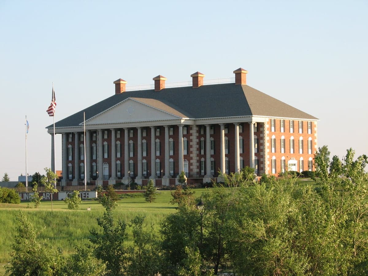
Photo: Wikipedia
Strategic Assessment of Watertown, SD
Workable tactical position. Some exposure to population density or targets, but generally defensible in a crisis.
What does the Strategic Assessment tell us?
Our Strategic Assessment grades tactical survivability of an area. Major population centers, military targets, fallout zones, natural disasters, and border exposure all drive risk — lower exposure means a more defensible position in a crisis.
This is heavily inspired by Joel Skousen's Strategic Relocation book. Highly recommended you checkout the book ($)What does this tell us?
Our Strategic Assessment grades tactical survivability of an area. Major population centers, military targets, fallout zones, natural disasters, and border exposure all drive risk — lower exposure means a more defensible position in a crisis.
This is heavily inspired by Joel Skousen's Strategic Relocation book. Highly recommended you checkout the book ($)Strategic Pillars

Key Distances
Regional Safe Places
Below is our recommended "safe zones" in South Dakota and the surrounding area based on our strategic heuristics. For most people, it's unrealistic to live in a “safe zone” full-time due to work, family or other personal reasons. They tend to be more rural. However, many of these areas are perfect for second homes and retreat properties that double as a vacation home or even a short-term rental.


Important Note: For informational purposes only. This does not mean nothing bad ever happens in the green zones. Please use common sense. This is based on public data and modeled with AI. We tried to take a conservative approach but mistakes happen. We update this regularly as new information becomes available.
Solar Generator Recommendations
Backup power matters more here than in safer locations. We've picked three solar generators across budgets and capacity tiers — start with the budget unit if you only need a few essentials, or step up if you want to run a fridge and HVAC for days at a time.

Jackery Portable Power Station Explorer 300
Budget OptionPower on the Go: Weighing only 11 lbs, it's convenient to set up and store with book-sized foldable solar panels

BLUETTI Portable Power Station AC180
Designed for both indoor and outdoor scenarios, AC180 is highly capable as it has a robost capacity and continuous output power.

EF ECOFLOW DELTA Pro Ultra Power Station
Upgraded PickEcoFlow DELTA Pro Ultra is a whole-home energy system designed to grow with your family. Integrated with the Smart Home Panel 2, it scales to meet your evolving energy needs — keeping your home powered, intelligent, and secure through every stage of life.
We earn a commission, at no additional cost to you.
Strategic Assessment Analysis
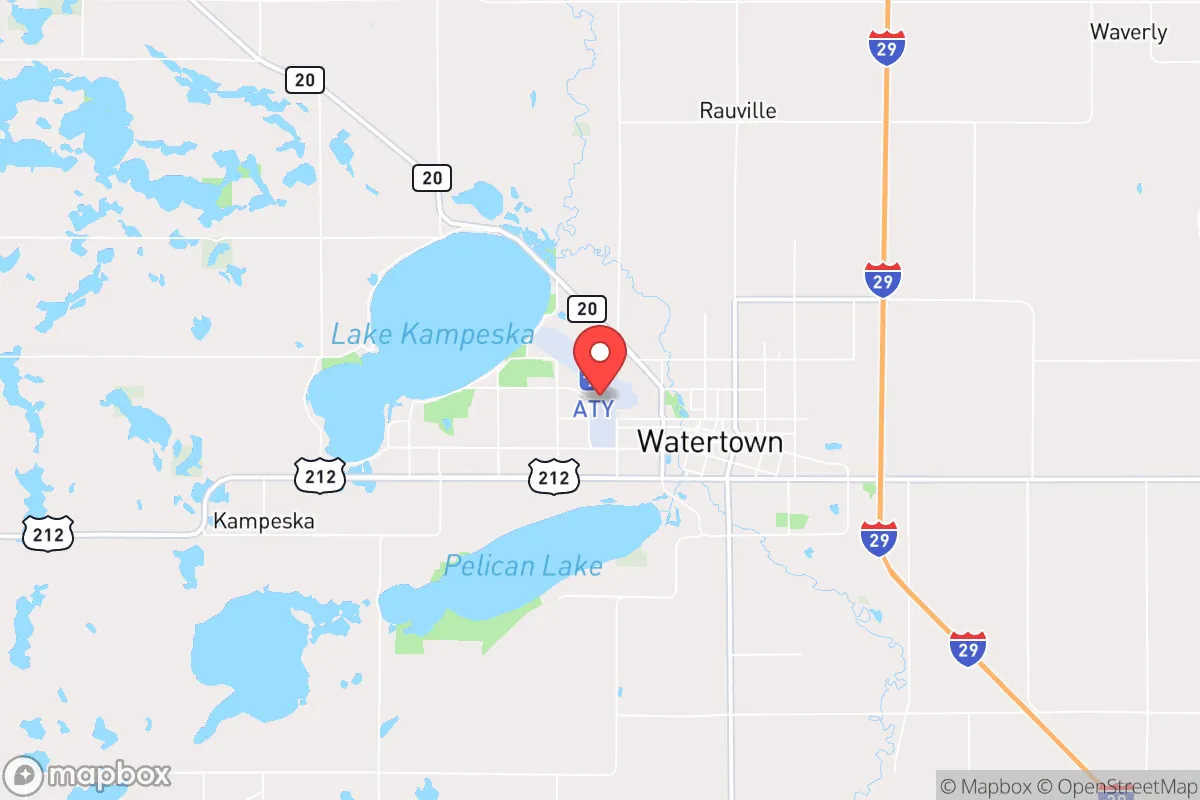
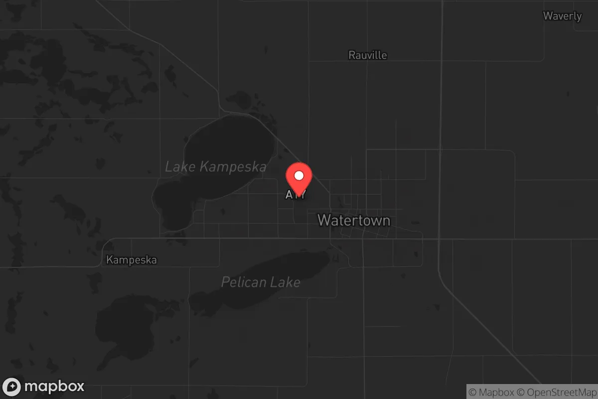
Watertown, South Dakota, presents a compelling strategic option for those prioritizing resilience and distance from major population centers, offering a blend of agricultural self-sufficiency and geographic isolation that is increasingly rare in the Lower 48. Situated in the northeastern part of the state, roughly 90 miles from Sioux Falls and 120 miles from Fargo, it sits far enough from major metro areas to avoid the immediate fallout of a major civic disruption, yet remains connected enough for supply runs or medical access. The city’s position along the Big Sioux River and its proximity to the massive Lake Kampeska provide a natural buffer against the kind of resource scarcity that could cripple more densely populated regions, making it a viable base for those looking to weather both natural and man-made storms.
Geographic position and natural advantages for long-term survival
Watertown’s location is its primary strategic asset, offering a rare combination of flat, arable land and abundant freshwater resources that are critical for extended self-reliance. The city sits in the heart of the Coteau des Prairies, a plateau that provides slightly higher elevation than the surrounding plains, reducing flood risk while still tapping into the region’s rich aquifer systems. Lake Kampeska, a 5,000-acre natural lake, and the smaller Pelican Lake offer immediate access to fishing and potable water, while the Big Sioux River provides a secondary source that can be filtered or treated. For a relocator, this means you’re not dependent on a single municipal water source—a key advantage if grid disruptions or contamination events occur. The surrounding agricultural land is some of the most productive in the state, with corn, soybeans, and wheat dominating the local economy, which translates into a food supply chain that doesn’t rely on cross-country trucking. Winter is harsh, with average January lows around 3°F, but that cold itself acts as a natural barrier to both pests and unwanted human traffic, making the area less appealing to those unprepared for sustained cold-weather survival.
Risks, exposures, and proximity to fallout-relevant landmarks
While Watertown avoids the immediate dangers of a major metro, it is not without its own risk profile, particularly regarding its proximity to critical infrastructure that could become a target or a liability. The city is roughly 60 miles from the Ellsworth Air Force Base near Rapid City, which houses B-1B Lancer bombers and is a high-value military asset in any conflict scenario. This proximity means that a major strike or escalation could produce secondary effects—such as airspace closures, military convoys, or even fallout drift depending on wind patterns—though the distance likely keeps Watertown outside the primary blast or contamination zone. Additionally, the city lies within 100 miles of the Lake Andes National Wildlife Refuge and the Missouri River dams, including the Oahe Dam, which are potential targets for sabotage or natural failure. The region’s flat terrain offers little in the way of natural defensibility; there are no mountains or dense forests to provide cover or concealment, which is a drawback for those planning a retreat scenario. Tornado risk is moderate, with an average of 2-3 tornadoes per year in the county, and blizzards are a regular winter hazard that can cut off roads for days, so any prepper plan must account for extended isolation during winter months.
Practical resilience for a relocator: food, water, energy, and defensibility
For a relocator focused on practical self-sufficiency, Watertown offers a solid foundation, but it requires deliberate investment to reach full resilience. The local food system is robust: the city hosts a major turkey processing plant (Dakota Provisions) and several grain elevators, meaning bulk food supplies are accessible even during supply chain disruptions. However, for long-term independence, you’ll want to secure private well water or a rainwater catchment system, as municipal water relies on the same grid that could fail during a cyberattack or EMP event. Energy is a mixed bag—the region is part of the Midcontinent Independent System Operator (MISO) grid, which has a high percentage of wind generation (over 30% in South Dakota), making it vulnerable to grid instability during extreme weather. Solar panels with battery backup are a wise investment here, as the area averages 200 sunny days per year, and the flat landscape makes installation straightforward. Defensibility is the weak point: Watertown is a small city of about 22,000 people, with a low crime rate (violent crime is roughly half the national average), but its open layout and lack of natural barriers mean that a determined group could approach from any direction. The local law enforcement presence is adequate for day-to-day security, but in a widespread collapse scenario, you’d need to rely on community networks or a private retreat outside the city limits. The nearest major medical center is in Sioux Falls, which is a 90-minute drive under normal conditions—a significant vulnerability if roads are blocked or the hospital is overwhelmed.
The overall strategic picture for Watertown is one of cautious optimism for the prepared relocator. It’s not a fortress, but it’s a solid base camp: isolated enough to avoid the worst of urban chaos, resource-rich enough to sustain a small community, and positioned in a state with a strong culture of self-reliance and minimal regulatory interference. The trade-offs are clear—you trade the convenience of metro amenities for the security of distance, and you trade natural defensibility for agricultural abundance. For a conservative-leaning individual or family looking to plant roots in a place where the neighbors are likely to share your values and the local government isn’t likely to impose draconian lockdowns, Watertown checks many boxes. The key is to treat it as a starting point, not a final destination: secure a property with a well and a garden, build a network with like-minded locals, and always have a winter-ready vehicle and a month’s worth of supplies on hand. In a world where the next crisis could come from any direction, Watertown offers a quiet corner where you can breathe, plan, and endure.
* Values derived from national, state, county, city and local statistics and may differ in a specific area. Last updated: 2026-04-30T21:12:55.000Z
Narrative content on this page is AI-generated and may contain mistakes. Verify any details that matter before acting on them.
ReloMaps may earn a commission from affiliate links at no extra cost to you.