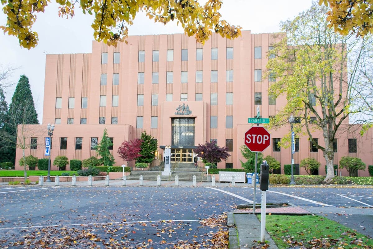
Photo: Wikipedia
Strategic Assessment of Clark County
Meaningful friction. Expect exposure to either population pressure, blast zones, or natural disaster risk. Consider buying a retreat property.
What does the Strategic Assessment tell us?
Our Strategic Assessment grades tactical survivability of an area. Major population centers, military targets, fallout zones, natural disasters, and border exposure all drive risk — lower exposure means a more defensible position in a crisis.
This is heavily inspired by Joel Skousen's Strategic Relocation book. Highly recommended you checkout the book ($)What does this tell us?
Our Strategic Assessment grades tactical survivability of an area. Major population centers, military targets, fallout zones, natural disasters, and border exposure all drive risk — lower exposure means a more defensible position in a crisis.
This is heavily inspired by Joel Skousen's Strategic Relocation book. Highly recommended you checkout the book ($)Strategic Pillars

Key Distances
Strategic Assessment Analysis
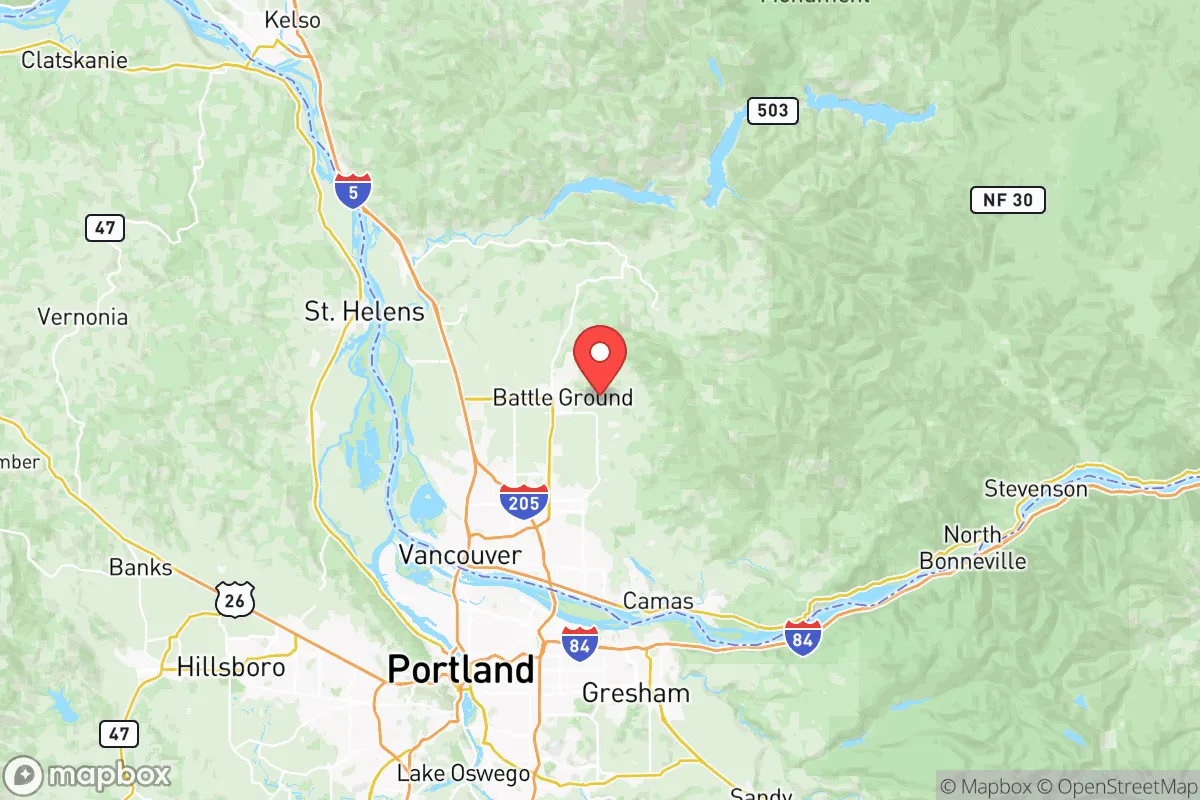
Clark County, Washington, occupies a strategic position in the Pacific Northwest that offers a compelling mix of resilience and vulnerability for relocators focused on disaster readiness and self-sufficiency. Situated along the Columbia River and directly north of Portland, Oregon, the county benefits from a temperate climate, abundant freshwater resources, and a diversified economy that includes a strong manufacturing and logistics base. However, its proximity to a major metropolitan area and critical infrastructure—including the Portland International Airport, the Port of Vancouver USA, and the region’s primary rail and highway corridors—introduces significant exposure to both natural and man-made risks. For a reader weighing long-term security and preparedness, Clark County presents a nuanced picture: a region with genuine geographic advantages but also real liabilities tied to its role as a transportation and industrial hub.
Geographic position and natural advantages for long-term security
Clark County’s location at the confluence of the Columbia and Willamette rivers provides a natural buffer against some of the more extreme weather patterns seen elsewhere in the country. The area’s mild, wet winters and dry summers reduce the risk of prolonged drought, while the Columbia River itself offers a reliable, year-round water source for both domestic use and potential irrigation. The county’s topography is varied, with the Cascade Range to the east and the Coast Range to the west, creating a natural barrier that moderates temperature extremes and provides defensible terrain in the event of regional instability. The city of Vancouver, the county seat, sits on the north bank of the Columbia, while smaller communities like Camas, Washougal, and Battle Ground are nestled in the foothills, offering more secluded options for those seeking distance from urban centers. The presence of the Columbia River Gorge to the east also provides a natural corridor for movement and trade, though it can also funnel weather systems and potential threats. For a relocator prioritizing self-sufficiency, the county’s access to timber, fertile soil, and abundant rainfall supports a viable agricultural base, with local farms and farmers markets in areas like Ridgefield and La Center providing fresh produce year-round.
Risks, exposures, and proximity to fallout-relevant landmarks
Clark County’s strategic advantages are tempered by its proximity to several high-value targets and critical infrastructure that could become liabilities in a major crisis. The Port of Vancouver USA is a major deep-water port handling bulk commodities, including grain, petroleum, and chemicals, making it a potential target for both natural disasters and man-made disruptions. The county is also home to the Portland-Vancouver metropolitan area, which includes the Portland International Airport (PDX) and the region’s primary rail and highway networks—both of which could become chokepoints or targets during a large-scale event. Additionally, the Bonneville Dam, located just east of the county on the Columbia River, is a critical piece of regional infrastructure that, if compromised, could disrupt power and water supplies across the Pacific Northwest. While Clark County itself does not host a major military base, the Joint Base Lewis-McChord (JBLM) in nearby Pierce County, Washington, is a significant military installation that could draw attention in a conflict scenario. The county’s position along the Interstate 5 corridor—a vital north-south artery—means that any disruption to this route could isolate the area or funnel displaced populations from Portland and Seattle. For a relocator, these factors underscore the importance of choosing a location within the county that is not directly adjacent to these landmarks, such as the more rural areas of Yacolt or Amboy, which offer greater distance from the urban core and its associated risks.
Practical resilience for a relocator: food, water, energy, and defensibility
For a relocator focused on practical resilience, Clark County offers a mixed but generally favorable environment. The county’s abundant freshwater resources are a major asset: the Columbia River, along with smaller rivers like the Lewis and Washougal, provide a reliable source of water for drinking, irrigation, and potential off-grid systems. The region’s rainfall, averaging around 40 inches per year, supports rainwater catchment systems, and the relatively mild climate reduces the need for energy-intensive heating or cooling. In terms of food security, the county has a strong agricultural sector, with farms producing berries, vegetables, dairy, and livestock in areas like Ridgefield and La Center. The presence of the Washington State University Extension office in Vancouver provides resources for small-scale farming and homesteading. Energy resilience is more of a challenge: the county is heavily dependent on the regional power grid, which is fed by hydroelectric dams like Bonneville and the John Day Dam. While this provides relatively cheap and clean electricity, it also creates a single point of failure. Solar potential is moderate due to cloud cover, but micro-hydro systems on the county’s many creeks and streams are a viable alternative for those with suitable property. Defensibility varies widely by location: the urbanized areas of Vancouver and Camas are more exposed to population movement and potential unrest, while the rural eastern and northern parts of the county—particularly around Yacolt and Amboy—offer greater seclusion and natural barriers, including forested hills and limited road access. The county’s low population density outside the urban core (roughly 500,000 total residents, with most concentrated in Vancouver) means that a relocator can find properties with significant acreage and distance from neighbors, which is a key factor for long-term security.
Overall, Clark County presents a strategic picture that is neither a safe haven nor a high-risk zone, but rather a region where careful location choice and preparation can yield a strong resilience profile. The county’s natural advantages—abundant water, mild climate, fertile soil, and defensible terrain—are genuine assets for a relocator prioritizing self-sufficiency. However, the proximity to Portland, the Port of Vancouver, and the I-5 corridor introduces real vulnerabilities that cannot be ignored. For a reader with a slightly conservative leaning who values preparedness and independence, the key is to avoid the urbanized areas and focus on the rural eastern and northern parts of the county, where the risks are lower and the opportunities for self-reliance are greater. With thoughtful planning—including rainwater catchment, solar or micro-hydro energy, and a focus on local food production—Clark County can serve as a viable base for long-term resilience, provided the relocator is aware of and prepared for the region’s specific exposures.

* Values derived from national, state, county, city and local statistics and may differ in a specific area. Last updated: 2026-08-14T10:35:09.000Z
Narrative content on this page is AI-generated and may contain mistakes. Verify any details that matter before acting on them.
ReloMaps may earn a commission from affiliate links at no extra cost to you.

