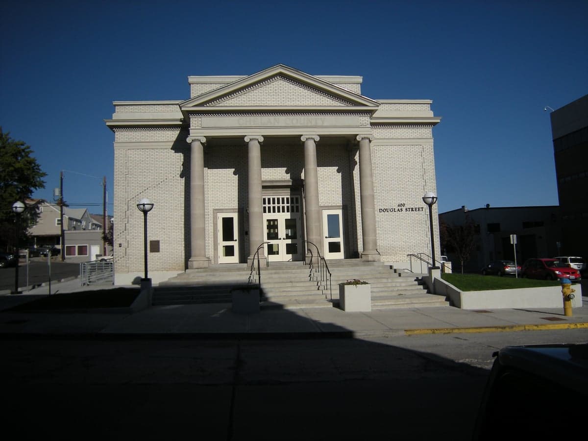
Photo: Wikipedia
Strategic Assessment of Chelan County
Workable tactical position. Some exposure to population density or targets, but generally defensible in a crisis.
What does the Strategic Assessment tell us?
Our Strategic Assessment grades tactical survivability of an area. Major population centers, military targets, fallout zones, natural disasters, and border exposure all drive risk — lower exposure means a more defensible position in a crisis.
This is heavily inspired by Joel Skousen's Strategic Relocation book. Highly recommended you checkout the book ($)What does this tell us?
Our Strategic Assessment grades tactical survivability of an area. Major population centers, military targets, fallout zones, natural disasters, and border exposure all drive risk — lower exposure means a more defensible position in a crisis.
This is heavily inspired by Joel Skousen's Strategic Relocation book. Highly recommended you checkout the book ($)Strategic Pillars

Key Distances
Strategic Assessment Analysis
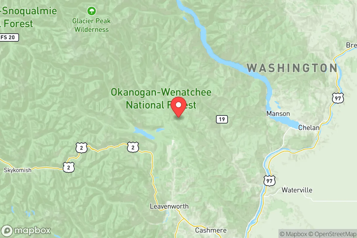
Chelan County, Washington, offers a compelling mix of geographic isolation and practical self-sufficiency that appeals to relocation-minded readers prioritizing resilience and preparedness. Situated in the north-central part of the state, the county is anchored by the city of Wenatchee and includes smaller communities like Leavenworth, Chelan, and Entiat. Its position east of the Cascade Range provides a natural buffer from the dense urban corridors of Seattle and Puget Sound, while still maintaining access to critical infrastructure and supply routes. For a relocator thinking seriously about disaster readiness, Chelan County presents a strong balance of remoteness, resource availability, and defensible terrain.
Geographic position and natural advantages for long-term stability
Chelan County's geography is defined by the Columbia River and its tributaries, which carve through the eastern slopes of the Cascade Range. The county's western boundary is marked by the Cascade crest, creating a rain shadow effect that results in significantly drier conditions than western Washington — roughly 8-10 inches of annual precipitation in the Wenatchee Valley compared to 35-40 inches in Seattle. This arid climate reduces risks associated with mold, flooding, and infrastructure degradation common in wetter regions. The terrain itself is mountainous and rugged, particularly around Lake Chelan and the Entiat Valley, which limits large-scale development and naturally restricts access points. For a relocator, this means fewer population pressures and a lower likelihood of being caught in mass evacuation scenarios. The county's position also places it roughly 130 miles from the Seattle metropolitan area and 150 miles from Spokane, far enough to avoid immediate fallout from urban disruptions but close enough to access medical and supply networks if needed. The Wenatchee Valley's agricultural productivity — apples, pears, and cherries — adds a layer of food security that few other counties in the Pacific Northwest can match.
Risk exposure and proximity to fallout-relevant landmarks
While Chelan County avoids the direct blast and fallout risks of major metropolitan areas, it is not without exposure. The county sits within the Columbia River corridor, which includes the Wells Dam and Rocky Reach Dam — both hydroelectric facilities that could become targets or failure points during a major conflict or grid collapse. The Columbia River itself is a strategic waterway, and the county's bridges and highways (notably US-2 and US-97) are chokepoints that could be contested. Additionally, the Hanford Site, a decommissioned nuclear production complex, lies roughly 80 miles south in Benton County. While Hanford's waste is stored in underground tanks, a catastrophic event could release radioactive material into the Columbia River, affecting downstream communities including Chelan County. On the natural disaster front, the county faces moderate wildfire risk, particularly in the dry summer months — the 2014 Carlton Complex Fire and 2015 Chelan Complex Fire both burned tens of thousands of acres and threatened homes. Earthquake risk is low to moderate, with the primary threat being a Cascadia subduction zone event that would likely cause more disruption west of the Cascades. For the resilience-minded relocator, these risks are manageable with proper planning — defensible space around property, stored water filtration, and awareness of dam safety protocols.
Practical resilience for a relocator: food, water, energy, and defensibility
Chelan County's practical resilience is among the strongest in Washington state. The Wenatchee Valley is the apple capital of the United States, producing over 100 million boxes annually, and the county's agricultural base extends to pears, cherries, and livestock. For a relocator, this means local food availability is high even during supply chain disruptions. Water access is excellent — the Columbia River provides an almost limitless surface water source, though treatment and filtration are necessary. Groundwater is available in the valley floor but can be deep and expensive to drill in the uplands. Energy resilience is a standout feature: the county is home to multiple hydroelectric dams (Rocky Reach, Rock Island, and Wells) that generate far more electricity than the local population consumes. During a grid failure, areas near these dams may retain power longer than the rest of the state, though the county is not on a dedicated "microgrid" and would still be subject to regional blackouts. Defensibility is mixed — the Wenatchee Valley is relatively open and accessible via multiple highways, but the surrounding mountains and narrow river canyons create natural defensive positions. Smaller communities like Leavenworth (population ~2,000) and Entiat (population ~1,200) are more defensible due to limited road access and surrounding forested terrain. The county's population density is low — roughly 80,000 residents across 2,994 square miles — which reduces competition for resources during a crisis. However, the county's reliance on tourism (especially in Leavenworth and Lake Chelan) means that seasonal population surges could strain local supplies during a sudden emergency.
The overall strategic picture for Chelan County is favorable for a relocator with serious disaster readiness and self-sufficiency goals. It offers a rare combination of agricultural self-sufficiency, abundant water, hydroelectric power, and geographic separation from major urban centers. The risks — wildfire, dam vulnerability, and downstream contamination from Hanford — are real but manageable with proper preparation. For a family or individual looking to establish a long-term resilient homestead in the Pacific Northwest, Chelan County ranks among the top options in Washington. The key is to choose a location within the county that balances access to resources with defensibility: the Entiat Valley and upper Lake Chelan area offer more isolation, while the Wenatchee Valley provides better access to medical care and supply chains. Either way, the county's natural advantages and existing infrastructure make it a strong candidate for those thinking strategically about long-term stability.

* Values derived from national, state, county, city and local statistics and may differ in a specific area. Last updated: 2026-08-09T11:19:52.000Z
Narrative content on this page is AI-generated and may contain mistakes. Verify any details that matter before acting on them.
ReloMaps may earn a commission from affiliate links at no extra cost to you.

