
Photo: Wikipedia
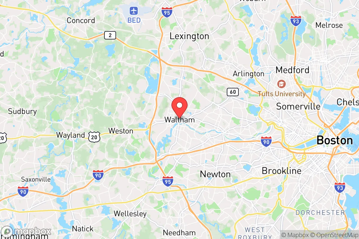
Strategic Assessment of Waltham, MA
High tactical risk. This location is likely close to major population centers, strategic targets, or sits in a high-disaster corridor. A retreat property and careful exit planning is required.
What does the Strategic Assessment tell us?
Our Strategic Assessment grades tactical survivability of an area. Major population centers, military targets, fallout zones, natural disasters, and border exposure all drive risk — lower exposure means a more defensible position in a crisis.
This is heavily inspired by Joel Skousen's Strategic Relocation book. Highly recommended you checkout the book ($)What does this tell us?
Our Strategic Assessment grades tactical survivability of an area. Major population centers, military targets, fallout zones, natural disasters, and border exposure all drive risk — lower exposure means a more defensible position in a crisis.
This is heavily inspired by Joel Skousen's Strategic Relocation book. Highly recommended you checkout the book ($)Strategic Pillars

Key Distances
Regional Safe Places
Below is our recommended "safe zones" in Massachusetts and the surrounding area based on our strategic heuristics. For most people, it's unrealistic to live in a “safe zone” full-time due to work, family or other personal reasons. They tend to be more rural. However, many of these areas are perfect for second homes and retreat properties that double as a vacation home or even a short-term rental.


Important Note: For informational purposes only. This does not mean nothing bad ever happens in the green zones. Please use common sense. This is based on public data and modeled with AI. We tried to take a conservative approach but mistakes happen. We update this regularly as new information becomes available.
Solar Generator Recommendations
Backup power matters more here than in safer locations. We've picked three solar generators across budgets and capacity tiers — start with the budget unit if you only need a few essentials, or step up if you want to run a fridge and HVAC for days at a time.

Jackery Portable Power Station Explorer 300
Budget OptionPower on the Go: Weighing only 11 lbs, it's convenient to set up and store with book-sized foldable solar panels

BLUETTI Portable Power Station AC180
Designed for both indoor and outdoor scenarios, AC180 is highly capable as it has a robost capacity and continuous output power.

EF ECOFLOW DELTA Pro Ultra Power Station
Upgraded PickEcoFlow DELTA Pro Ultra is a whole-home energy system designed to grow with your family. Integrated with the Smart Home Panel 2, it scales to meet your evolving energy needs — keeping your home powered, intelligent, and secure through every stage of life.
We earn a commission, at no additional cost to you.
Strategic Assessment Analysis
Waltham, Massachusetts, presents a deeply conflicted strategic picture for the conservative prepper or survivalist. Its location along the Charles River, roughly 10 miles west of Boston, offers a veneer of suburban normalcy, but this proximity to a major metropolitan hub is its single greatest vulnerability. While the city itself has a resilient industrial history and a diversified economic base anchored by biotech and education, the reality is that Waltham sits squarely within the blast and fallout shadow of one of America's most politically and economically dense targets. For a relocator prioritizing long-term survivability, Waltham is a location to be approached with extreme caution, not as a retreat, but as a potential waypoint or a place to understand the risks of the Boston metroplex.
Geographic position and natural advantages for a survival scenario
Waltham's geography is a double-edged sword. On the positive side, the Charles River provides a substantial freshwater source, and the city's position along the river valley offers some natural drainage and access to green spaces like the extensive Prospect Hill Park and the Beaver Brook Reservation. These areas could theoretically support limited foraging or small-scale gardening in a prolonged crisis. The city's terrain is mostly flat to gently rolling, which is not ideal for defensible positions but does allow for easier movement on foot or by bicycle if roads become impassable. The presence of the Waltham Woods and the surrounding suburban sprawl means there are pockets of tree cover that could offer concealment from aerial observation or roving groups. However, these are not wilderness refuges; they are fragmented, heavily trafficked, and within easy walking distance of dense residential areas. The natural advantages here are marginal at best, offering a slight buffer against immediate exposure but no real strategic depth. The city's location along the I-95 corridor and Route 128 is a major liability, as these highways will become chokepoints and targets during any evacuation or civil unrest event.
Risks, exposures, and proximity to fallout-relevant landmarks
The primary risk for any relocator in Waltham is its proximity to Boston, a city that is a high-probability target for a range of threats, from a coordinated terrorist attack to a nuclear detonation. Waltham lies within the moderate to heavy fallout zone for a ground burst on downtown Boston, with prevailing winds likely carrying radioactive debris directly over the city. The presence of major research institutions like Brandeis University and Bentley University, while economically beneficial in peacetime, also makes the area a potential secondary target for ideological attacks. Furthermore, Waltham is home to several biotech and pharmaceutical facilities, including a major Novartis campus. In a collapse scenario, these facilities could become targets for looting or could themselves become sources of hazardous material releases. The city's dense suburban layout, with limited escape routes, means that any large-scale event would trap residents in a gridlocked nightmare. The Waltham Police Department and Fire Department are well-funded and professional, but they would be overwhelmed in a mass casualty event. The city's population of roughly 65,000 is too large to be effectively managed by local resources in a crisis, and the surrounding communities of Newton, Lexington, and Watertown are similarly dense and dependent on the same strained infrastructure.
Practical resilience for a relocator: food, water, energy, and defensibility
For the individual or family looking to hunker down, Waltham offers a mixed bag of practical challenges. Water is the most critical resource, and the Charles River is a viable source, but it requires heavy filtration and boiling due to upstream pollution and potential contamination from storm runoff. The city's municipal water supply comes from the Quabbin Reservoir, a massive and well-protected source, but the treatment and distribution system is vulnerable to power loss and sabotage. A prepper would need a robust, multi-stage water filtration system and a plan for storing at least two weeks of water per person. Food security is poor. Waltham has a few small grocery stores and markets, but they will be stripped within hours of a crisis. There is no significant agricultural land within the city limits. Community gardens exist but are not sufficient for a population of this size. Energy is a major vulnerability. The city is heavily dependent on the regional power grid, and while there are some solar installations on private homes, there is no municipal backup power for critical infrastructure. A generator with a substantial fuel supply is non-negotiable, but storing enough fuel for a prolonged outage is difficult in a suburban setting. Defensibility is the weakest point. Waltham is a classic suburban sprawl with a dense downtown core. Single-family homes on small lots offer little standoff distance from neighbors and streets. There is no natural chokepoint or high ground to defend. The best a relocator could do is fortify a single-family home with reinforced doors, windows, and a secure perimeter, but this is a temporary measure against a determined group. The city's layout is designed for convenience, not security.
The overall strategic picture for Waltham is one of high risk and low reward for a survivalist or prepper. It is a location that offers the illusion of safety through its suburban character and economic stability, but this is a veneer that would shatter in the first hours of a real crisis. The proximity to Boston, the density of population, the lack of defensible terrain, and the dependence on fragile infrastructure make it a poor choice for a long-term retreat. For a conservative relocator, Waltham might serve as a temporary staging area or a place to gather intelligence on the Boston metro area, but it should never be considered a final destination. The prudent move is to look further west, into the hill towns of central and western Massachusetts, where population density drops, natural resources are more abundant, and the strategic depth is far greater. Waltham is a place to pass through, not a place to dig in.
* Values derived from national, state, county, city and local statistics and may differ in a specific area. Last updated: 2026-04-19T08:50:44.000Z
Narrative content on this page is AI-generated and may contain mistakes. Verify any details that matter before acting on them.
ReloMaps may earn a commission from affiliate links at no extra cost to you.