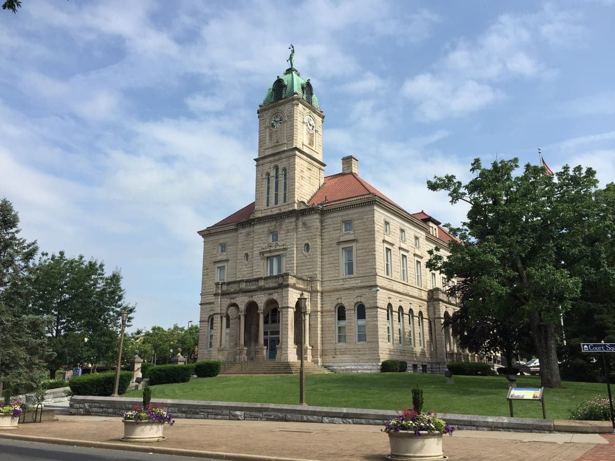
Photo: Wikipedia
Strategic Assessment of Rockingham County
Meaningful friction. Expect exposure to either population pressure, blast zones, or natural disaster risk. Consider buying a retreat property.
What does the Strategic Assessment tell us?
Our Strategic Assessment grades tactical survivability of an area. Major population centers, military targets, fallout zones, natural disasters, and border exposure all drive risk — lower exposure means a more defensible position in a crisis.
This is heavily inspired by Joel Skousen's Strategic Relocation book. Highly recommended you checkout the book ($)What does this tell us?
Our Strategic Assessment grades tactical survivability of an area. Major population centers, military targets, fallout zones, natural disasters, and border exposure all drive risk — lower exposure means a more defensible position in a crisis.
This is heavily inspired by Joel Skousen's Strategic Relocation book. Highly recommended you checkout the book ($)Strategic Pillars

Key Distances
Strategic Assessment Analysis
Rockingham County, Virginia, offers a compelling strategic position for relocators prioritizing resilience and self-sufficiency, balancing proximity to essential infrastructure with a buffer from major metropolitan vulnerabilities. Nestled in the Shenandoah Valley, the county benefits from a diversified economy anchored by agriculture, manufacturing, and the presence of James Madison University, providing a stable foundation that is less susceptible to the boom-and-bust cycles of single-industry regions. Its location along the I-81 corridor, roughly two hours from Washington, D.C., and Richmond, provides access to urban resources without the direct exposure to the fallout risks associated with those population centers, making it a serious consideration for those planning for long-term stability.
Geographic position and natural advantages for long-term stability
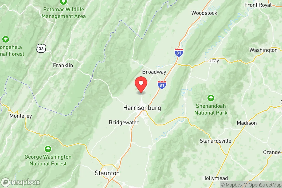
Rockingham County’s geography is its primary strategic asset. The county sits in the heart of the Shenandoah Valley, flanked by the Blue Ridge Mountains to the east and the Allegheny Mountains to the west. This topography provides natural defensibility, creating a contained basin that is less exposed to large-scale weather events like hurricanes, which typically lose strength as they move inland from the coast. The valley’s fertile limestone-based soils support a robust agricultural sector—the county is a top producer of poultry, apples, and dairy in Virginia—which translates directly into local food security. The North Fork of the Shenandoah River and the South Fork run through the county, providing reliable freshwater sources, while the George Washington National Forest to the west offers a vast, sparsely populated buffer zone. Key towns like Harrisonburg (the county seat), Bridgewater, and Dayton serve as practical hubs for supplies and community, with Harrisonburg’s population of roughly 55,000 offering a balance of services without the congestion of a major city. The county’s elevation, averaging around 1,300 feet, also reduces risks from flooding compared to lower-lying areas, though localized flash flooding along the river forks remains a consideration.
Risks, exposures, and proximity to fallout-relevant landmarks
While Rockingham County avoids the direct fallout risks of a major metropolitan target, it is not without strategic vulnerabilities. The I-81 corridor, a critical north-south freight route, runs directly through the county, making it a potential chokepoint during a crisis. This highway carries significant truck traffic, including hazardous materials, and a major accident or disruption could severely impact supply lines. The county is also within 100 miles of the Dulles International Airport and the Washington, D.C. metro area, which are high-probability targets in a national security scenario. Fallout from a strike on D.C. could reach the valley depending on wind patterns, though the mountain ranges provide some shielding. Additionally, the county is roughly 90 miles from the North Anna Nuclear Generating Station in Louisa County, a potential radiological hazard. On the natural disaster front, the region is in a moderate seismic zone; the 2011 Mineral earthquake (magnitude 5.8) was felt strongly here, though damage was minimal. Severe winter storms and occasional ice events can disrupt power for days, a recurring risk for those relying on grid-dependent systems. The county’s reliance on a single major highway for north-south movement is a notable weakness—alternate routes like US-340 and US-33 are slower and less efficient for large-scale logistics.
Practical resilience for a relocator: food, water, energy, and defensibility
For a relocator serious about self-sufficiency, Rockingham County offers strong practical foundations. Food security is a standout advantage: the county’s agricultural base means local produce, meat, and dairy are readily available year-round. The Harrisonburg Farmers Market and numerous roadside stands provide direct access, and the presence of large poultry processors like Cargill and Pilgrim’s Pride ensures a stable protein supply. Water is abundant from the Shenandoah River system and local aquifers, though well-dependent properties require testing for agricultural runoff. The county’s energy grid is served by Dominion Energy, with a mix of natural gas, hydro, and some solar. However, the region’s rural nature means many homes rely on electric well pumps and heating oil or propane, creating vulnerability during extended outages. Defensibility is moderate: the valley’s open farmland offers limited cover, but the surrounding national forest and mountain terrain provide retreat options for those with backcountry skills. The county’s population density is low—roughly 80,000 residents spread over 850 square miles—reducing competition for resources in a crisis. Local law enforcement and emergency services are well-regarded, with the Rockingham County Sheriff’s Office and Harrisonburg Fire Department maintaining mutual aid agreements. For those seeking a community with prepper-friendly values, the area has a noticeable rural conservative culture, with numerous churches, volunteer fire departments, and a strong tradition of neighborly assistance. The main practical challenge is transportation: without a personal vehicle, access to supplies and services is severely limited, as public transit is minimal outside Harrisonburg.
Overall, Rockingham County presents a balanced strategic picture for the resilience-minded relocator. Its agricultural self-sufficiency, natural water resources, and buffer from major urban targets make it a strong candidate for those prioritizing long-term stability over immediate convenience. The primary trade-offs are the reliance on the I-81 corridor for supply chains and the moderate risk from fallout drifting from D.C. or the North Anna plant. For a single individual or family willing to invest in backup power, water storage, and a reliable vehicle, the county offers a defensible, resource-rich environment that supports a self-sufficient lifestyle without the isolation of more remote locations. It is not a fortress, but it is a solid, practical choice for those who want to be prepared without living off the grid entirely.

* Values derived from national, state, county, city and local statistics and may differ in a specific area. Last updated: 2026-09-23T20:13:59.000Z
Narrative content on this page is AI-generated and may contain mistakes. Verify any details that matter before acting on them.
ReloMaps may earn a commission from affiliate links at no extra cost to you.

