
Photo by Matt Hardison on Unsplash
Strategic Assessment of Portsmouth City County
Multiple tactical vulnerabilities. Population density, target proximity, or disaster risk are likely compounding. A retreat property and exit planning is required.
What does the Strategic Assessment tell us?
Our Strategic Assessment grades tactical survivability of an area. Major population centers, military targets, fallout zones, natural disasters, and border exposure all drive risk — lower exposure means a more defensible position in a crisis.
This is heavily inspired by Joel Skousen's Strategic Relocation book. Highly recommended you checkout the book ($)What does this tell us?
Our Strategic Assessment grades tactical survivability of an area. Major population centers, military targets, fallout zones, natural disasters, and border exposure all drive risk — lower exposure means a more defensible position in a crisis.
This is heavily inspired by Joel Skousen's Strategic Relocation book. Highly recommended you checkout the book ($)Strategic Pillars

Key Distances
Strategic Assessment Analysis
Portsmouth City County, Virginia, occupies a strategic but complex position in the Hampton Roads region, offering a mix of deep-water access and urban density that demands careful consideration for anyone prioritizing disaster readiness and self-sufficiency. Its location at the confluence of the Elizabeth River and the James River, just upstream from the Chesapeake Bay, provides significant maritime advantages but also places it squarely within a high-value, high-target metropolitan corridor. For a relocator with a conservative, preparedness-minded outlook, Portsmouth presents a trade-off: proximity to critical infrastructure and military assets offers some economic stability, but that same proximity introduces substantial risks from both natural and man-made events that require a clear-eyed assessment.
Geographic position and natural advantages for resilience
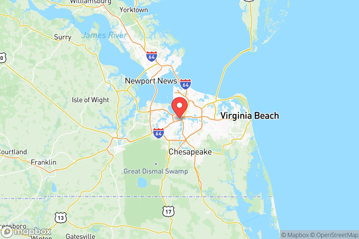
Portsmouth’s geography is defined by its position on the southern shore of the Elizabeth River, directly across from Norfolk and just west of the Chesapeake Bay. This location gives it access to one of the world’s largest natural harbors, but it also means the city is low-lying and heavily reliant on a network of bridges and tunnels—including the Midtown Tunnel and the Downtown Tunnel—for connectivity to Norfolk and the rest of the region. These chokepoints are a critical vulnerability: during a major evacuation or disaster, they can become impassable, effectively isolating Portsmouth from the rest of Hampton Roads. The city’s elevation averages only 10 to 15 feet above sea level, making it highly susceptible to storm surge from hurricanes and nor’easters. The James River and Elizabeth River watersheds provide abundant freshwater, but the region’s flat, marshy terrain limits natural defensibility and makes floodplain management a constant concern. On the positive side, the area’s temperate climate allows for year-round gardening and outdoor work, and the proximity to the Great Dismal Swamp to the south offers a large, relatively undeveloped buffer zone that could serve as a natural resource for timber, game, and water in a prolonged emergency.
Risks, exposures, and proximity to fallout-relevant landmarks
Portsmouth’s strategic value is also its greatest liability. The city sits within the Hampton Roads metropolitan area, which is home to the world’s largest naval base—Naval Station Norfolk—just across the river. This concentration of military power, including Naval Support Activity Hampton Roads and the Norfolk Naval Shipyard (located in Portsmouth itself), makes the region a high-priority target for any adversary with long-range strike capabilities. The Norfolk Naval Shipyard, a major repair and maintenance facility for the U.S. Navy’s Atlantic Fleet, is a particularly sensitive asset. Additionally, the Port of Virginia terminals in Portsmouth and nearby Norfolk handle massive volumes of containerized cargo and military logistics, further elevating the area’s strategic profile. For a relocator concerned about fallout or societal disruption, being within a few miles of these assets means exposure to potential secondary effects—such as power grid strain, civil unrest, or targeted infrastructure attacks—that would be less acute in more rural parts of Virginia. Natural risks are equally significant: the region is prone to hurricanes (e.g., Hurricane Isabel in 2003 caused widespread flooding and power outages), and sea-level rise is accelerating, with the Hampton Roads area experiencing some of the highest rates of relative sea-level rise on the East Coast (about 1.5 feet per century, compounded by land subsidence). Flooding from heavy rain events is a recurring issue, and the city’s stormwater infrastructure is aging.
Practical resilience for a relocator: food, water, energy, and defensibility
For someone serious about self-sufficiency, Portsmouth’s urban character presents both opportunities and obstacles. Food security is a mixed picture: the city has a growing number of community gardens and farmers’ markets, but the majority of food is trucked in via the interstate system (I-264 and I-664). In a prolonged disruption, local grocery stores would empty within days. The Great Dismal Swamp and surrounding rural areas in Suffolk and Chesapeake offer hunting and fishing potential, but access requires a vehicle and knowledge of the terrain. Water security is more favorable: Portsmouth draws its municipal water from the Lake Kilby and Lake Meade reservoirs, as well as the Nansemond River, and the region’s high water table means private wells are feasible in some neighborhoods (though not in the dense urban core). However, the city’s water treatment plants are vulnerable to power loss and flooding. Energy resilience is a significant concern: the grid is heavily centralized, and the region has experienced multiple large-scale outages from hurricanes and winter storms. Solar panels with battery storage are a viable option, but homeowners must navigate local zoning and HOA restrictions. Defensibility is the weakest point: Portsmouth is a dense, interconnected city with limited natural barriers. The Elizabeth River provides a moat-like boundary on the north and east, but the city is otherwise flat and open, with numerous entry points via bridges and highways. A determined group would find it difficult to secure a perimeter. For those willing to live on the outskirts—near the Western Branch area or the Churchland neighborhood—there are slightly larger lots and more tree cover, but the overall defensibility remains low compared to rural Virginia locations like Franklin or Emporia.
In the overall strategic picture, Portsmouth offers a unique but risky proposition for the preparedness-minded relocator. Its maritime economy and military presence provide a stable job market and access to skilled trades, but those same factors make it a likely target or chokepoint during a major crisis. The city’s low elevation, flood risk, and reliance on vulnerable infrastructure (bridges, tunnels, and a centralized power grid) demand that any resident invest heavily in backup systems—generators, water storage, flood barriers, and a well-stocked pantry. For a single individual or family willing to accept these trade-offs and maintain a high level of readiness, Portsmouth can work as a base of operations, especially if they secure property on higher ground (e.g., the Olde Towne area’s historic district sits slightly higher than the waterfront) and build strong community ties with like-minded neighbors. However, for those seeking a more inherently resilient location with lower exposure to both natural and man-made risks, the rural counties west of the James River—such as Isle of Wight or Southampton—offer a better balance of access to resources and reduced vulnerability. Portsmouth is a place to live with eyes wide open, not a place to assume safety by default.

* Values derived from national, state, county, city and local statistics and may differ in a specific area. Last updated: 2026-07-29T07:22:06.000Z
Narrative content on this page is AI-generated and may contain mistakes. Verify any details that matter before acting on them.
ReloMaps may earn a commission from affiliate links at no extra cost to you.

