
Photo by Brian LeFevre on Unsplash
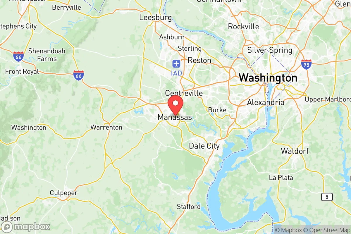
Strategic Assessment of Manassas City County
Meaningful friction. Expect exposure to either population pressure, blast zones, or natural disaster risk. Consider buying a retreat property.
What does the Strategic Assessment tell us?
Our Strategic Assessment grades tactical survivability of an area. Major population centers, military targets, fallout zones, natural disasters, and border exposure all drive risk — lower exposure means a more defensible position in a crisis.
This is heavily inspired by Joel Skousen's Strategic Relocation book. Highly recommended you checkout the book ($)What does this tell us?
Our Strategic Assessment grades tactical survivability of an area. Major population centers, military targets, fallout zones, natural disasters, and border exposure all drive risk — lower exposure means a more defensible position in a crisis.
This is heavily inspired by Joel Skousen's Strategic Relocation book. Highly recommended you checkout the book ($)Strategic Pillars

Key Distances
Strategic Assessment Analysis
Manassas City, Virginia, occupies a unique strategic position that blends historical significance with modern logistical advantages, but for the resilience-minded relocator, its location within the Washington D.C. metropolitan area presents a complex calculus of opportunity and exposure. As an independent city surrounded by Prince William County, Manassas offers the administrative simplicity of a city-county government while sitting just 30 miles west of the nation’s capital, placing it squarely within the orbit of one of the world’s most critical—and potentially volatile—target zones. For a reader weighing disaster readiness and self-sufficiency, Manassas City’s resilience profile is defined by its proximity to major infrastructure, its exposure to both natural and man-made risks, and the practical challenges of sustaining a household in a densely populated corridor.
Geographic position and natural advantages for long-term stability
Manassas City sits in the Piedmont region of Northern Virginia, a transitional zone between the coastal plain and the Blue Ridge Mountains. This geography provides a meaningful buffer against the most severe hurricane storm surge threats that plague Tidewater communities like Norfolk or Virginia Beach—Manassas sits at roughly 300 feet above sea level, well outside the 100-year floodplain. The city’s position along the Occoquan River watershed gives it access to surface water, though the Occoquan Reservoir itself is shared with a massive suburban population. For a relocator, the key natural advantage is the area’s moderate climate: four distinct seasons without the extreme drought or wildfire risk of the West, and no significant seismic activity. The nearby Bull Run Mountains and Prince William Forest Park offer natural barriers to urban sprawl and provide potential bug-out terrain within a 20-minute drive. However, the city’s location in the I-66 corridor means it is a primary evacuation route for D.C., which could become a liability during a regional crisis—the same roads that bring people in could become impassable when everyone tries

* Values derived from national, state, county, city and local statistics and may differ in a specific area. Last updated: 2026-08-24T19:33:11.000Z
Narrative content on this page is AI-generated and may contain mistakes. Verify any details that matter before acting on them.
ReloMaps may earn a commission from affiliate links at no extra cost to you.

