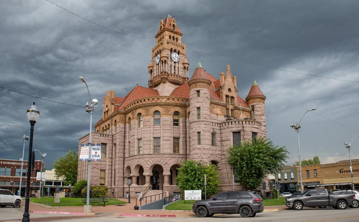
Photo: Wikipedia
Strategic Assessment of Wise County
Workable tactical position. Some exposure to population density or targets, but generally defensible in a crisis.
What does the Strategic Assessment tell us?
Our Strategic Assessment grades tactical survivability of an area. Major population centers, military targets, fallout zones, natural disasters, and border exposure all drive risk — lower exposure means a more defensible position in a crisis.
This is heavily inspired by Joel Skousen's Strategic Relocation book. Highly recommended you checkout the book ($)What does this tell us?
Our Strategic Assessment grades tactical survivability of an area. Major population centers, military targets, fallout zones, natural disasters, and border exposure all drive risk — lower exposure means a more defensible position in a crisis.
This is heavily inspired by Joel Skousen's Strategic Relocation book. Highly recommended you checkout the book ($)Strategic Pillars

Key Distances
Strategic Assessment Analysis
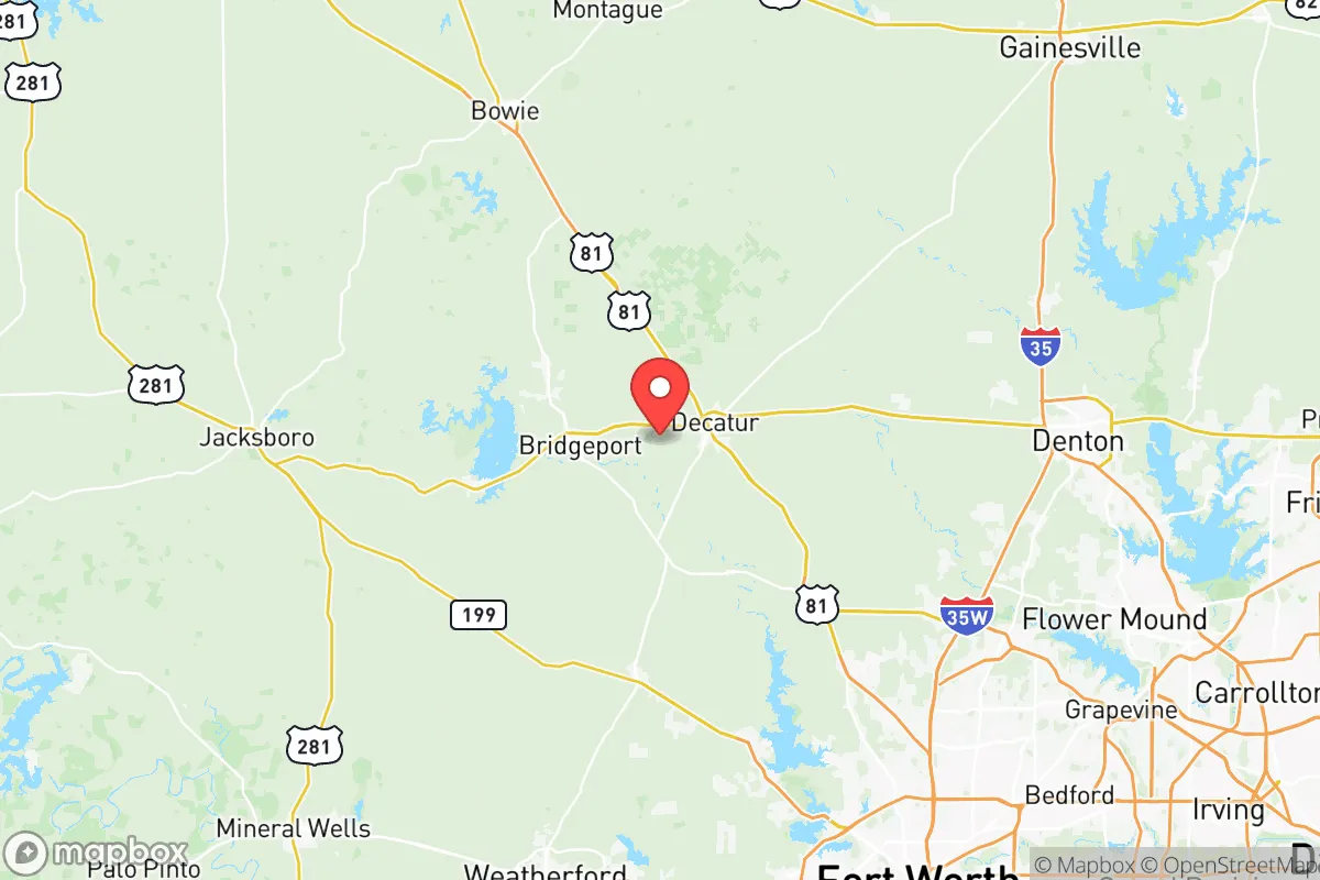
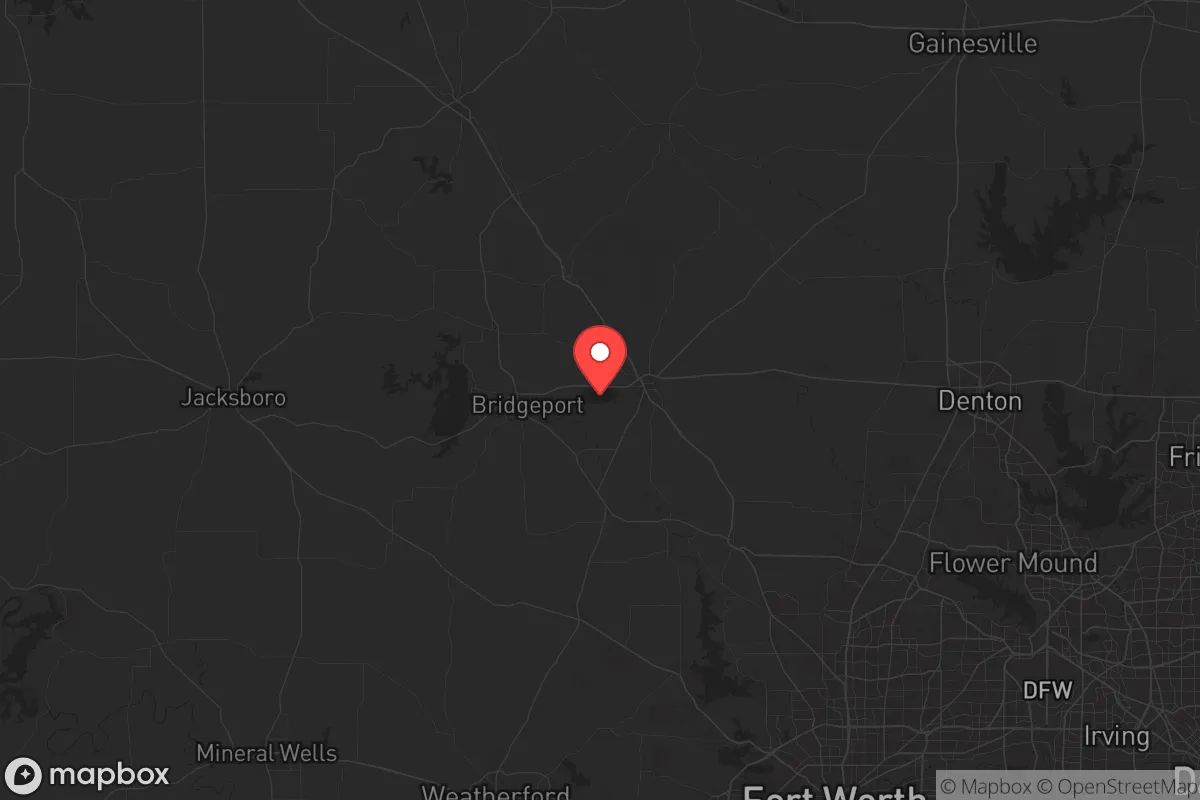
Wise County, Texas, offers a compelling mix of geographic isolation and practical self-sufficiency that appeals to those prioritizing long-term resilience. Located about 30 miles northwest of Fort Worth, the county sits far enough from the Dallas-Fort Worth metroplex to avoid the worst of urban collapse scenarios, yet close enough to access critical supplies and medical care in a pre-crisis window. With a population density of roughly 50 people per square mile and a landscape of rolling hills, limestone bluffs, and the Trinity River, this area provides a defensible, resource-rich environment for individuals and families looking to weather civic unrest, supply chain disruptions, or larger-scale disasters.
Geographic position and natural advantages for long-term survival
Wise County’s location is its strongest asset. It sits at the intersection of U.S. Highway 81/287 and State Highway 114, providing two major evacuation routes that avoid the choke points of the metroplex. The county is bordered by the LBJ National Grasslands to the east, a 20,000-acre federal preserve that offers hunting, foraging, and a natural buffer against suburban sprawl. To the west, the terrain becomes more rugged as you approach the Palo Pinto Mountains, creating natural barriers to vehicle-based movement. The Trinity River runs through the county’s southern half, with the West Fork and Elm Fork providing reliable surface water sources—critical if municipal systems fail. The area’s elevation, averaging 900 to 1,200 feet, reduces flood risk compared to low-lying regions, and the limestone bedrock supports well-drilling for independent water access. For a relocator, the key takeaway is that Wise County offers a natural fortress with multiple water sources, defensible terrain, and multiple exit routes—all within a 90-minute drive of Fort Worth’s medical infrastructure.
Risks, exposures, and proximity to fallout-relevant landmarks
No location is without vulnerabilities, and Wise County has several that demand attention. The most immediate risk is the proximity to the Dallas-Fort Worth metroplex, a population center of over 7 million people. In a major crisis—whether economic collapse, pandemic, or civil unrest—the county could see a wave of urban refugees moving north along Highway 287, potentially overwhelming local resources. The county is also within 60 miles of the Fort Worth Alliance Airport, a major cargo hub that could become a target in a conflict scenario. More concerning is the presence of the Bridgeport Lake dam, a critical infrastructure point that, if compromised, could flood downstream communities. Additionally, the county sits roughly 150 miles from the Comanche Peak Nuclear Power Plant in Somervell County—close enough that a meltdown or attack could produce fallout patterns affecting the southern half of Wise County, depending on wind direction. The Barnett Shale natural gas fields, which underpin much of the local economy, also mean a network of pipelines and wellheads that could become ignition points during earthquakes or sabotage. For the prepper, these risks are manageable with proper planning—maintaining a 72-hour bug-out kit, identifying secondary water sources away from the Trinity River, and avoiding low-lying areas near the dam—but they are real and should factor into any relocation decision.
Practical resilience for a relocator: food, water, energy, and defensibility
Wise County’s practical resilience is where it truly shines for the self-reliant individual or family. Water is the first priority, and the county’s geology supports reliable well water at depths of 200 to 400 feet, with the Trinity Aquifer providing consistent yields. Many rural properties already have wells, and drilling a new one is straightforward compared to areas with deeper aquifers. For surface water, the West Fork of the Trinity River and Lake Bridgeport (the county’s largest reservoir) offer backup options, though treatment is necessary. Food production is viable: the growing season runs from March to November, and the sandy loam soils in the eastern part of the county support gardens, orchards, and small livestock operations. The county has a strong agricultural tradition, with local feed stores, farm supply co-ops, and a weekly farmers market in Decatur (the county seat) that can serve as a supply chain for seeds, tools, and livestock. Energy independence is achievable through solar panels—the area averages 220 sunny days per year—and backup generators fueled by propane or natural gas from the Barnett Shale fields. Defensibility is a major plus: the county’s rural character means properties are often separated by half-mile or mile distances, with natural cover from trees and hills. Many homes in the western part of the county, near the towns of Chico and Alvord, sit on elevated lots with clear sightlines, making them easier to secure. The local sheriff’s office, while small (about 40 deputies), is well-regarded and responsive, but in a prolonged crisis, you’ll need to rely on your own perimeter security and community networks. The county’s population is predominantly conservative and self-reliant, which means neighbors are more likely to share resources and form mutual aid groups than in urban areas.
The overall strategic picture for Wise County is one of calculated risk with high upside. It’s not a remote bunker in the mountains—it’s a working, rural county that balances access to urban infrastructure with the space and resources to go independent when needed. The threats are real: proximity to a major metroplex, a nuclear plant within fallout range, and critical infrastructure like dams and pipelines. But the advantages—reliable water, arable land, defensible terrain, and a like-minded community—outweigh them for most relocators. If you’re looking for a place that can sustain you through a two-week grid-down event or a two-year economic collapse, Wise County deserves serious consideration. Just don’t expect to be completely isolated; you’ll need to plan for the influx of refugees from the south and have your own water, food, and security systems in place before the crisis hits. The county’s motto, “The Land of Opportunity,” takes on a different meaning when you’re preparing for the worst—but for those who do, it’s a land that can deliver.
* Values derived from national, state, county, city and local statistics and may differ in a specific area. Last updated: 2026-05-15T22:31:10.000Z
Narrative content on this page is AI-generated and may contain mistakes. Verify any details that matter before acting on them.
ReloMaps may earn a commission from affiliate links at no extra cost to you.