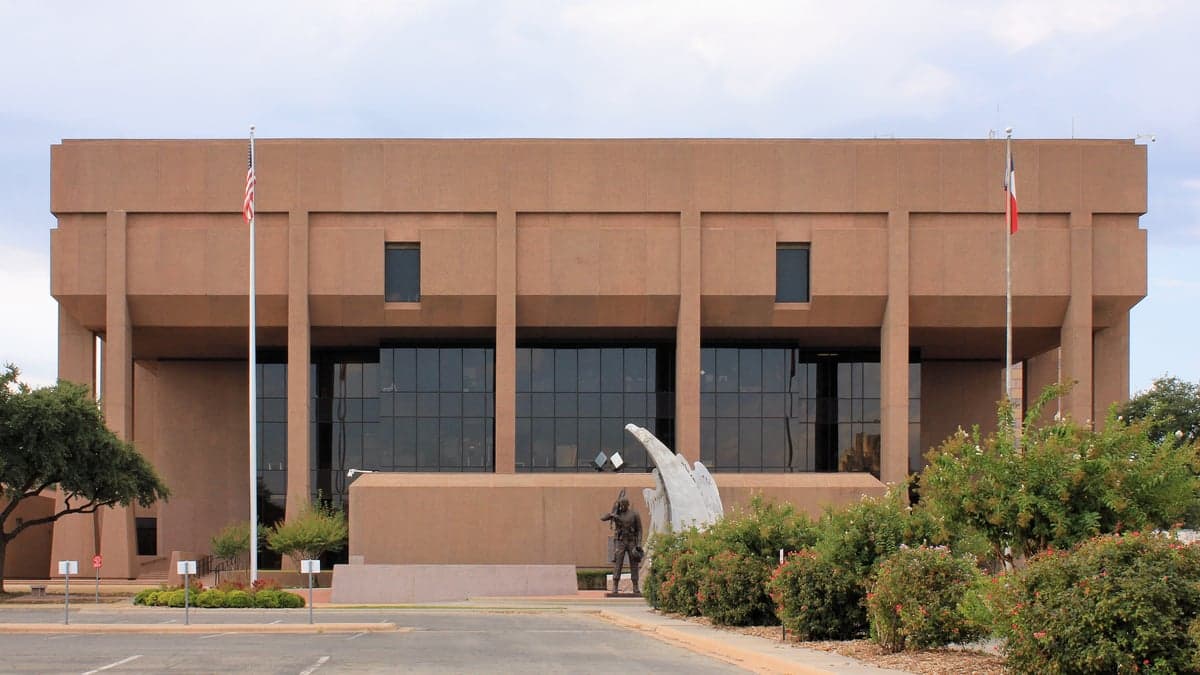
Photo: Wikipedia
Strategic Assessment of Taylor County
Workable tactical position. Some exposure to population density or targets, but generally defensible in a crisis.
What does the Strategic Assessment tell us?
Our Strategic Assessment grades tactical survivability of an area. Major population centers, military targets, fallout zones, natural disasters, and border exposure all drive risk — lower exposure means a more defensible position in a crisis.
This is heavily inspired by Joel Skousen's Strategic Relocation book. Highly recommended you checkout the book ($)What does this tell us?
Our Strategic Assessment grades tactical survivability of an area. Major population centers, military targets, fallout zones, natural disasters, and border exposure all drive risk — lower exposure means a more defensible position in a crisis.
This is heavily inspired by Joel Skousen's Strategic Relocation book. Highly recommended you checkout the book ($)Strategic Pillars

Key Distances
Strategic Assessment Analysis
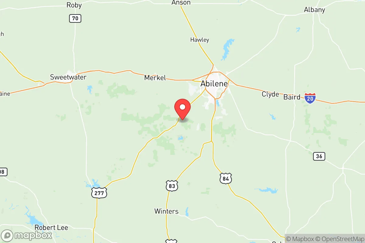
Taylor County, Texas, anchored by the city of Abilene, offers a strategic balance of isolation and access that appeals to relocation-minded individuals and families prioritizing resilience and self-sufficiency. Situated roughly 150 miles west of Fort Worth and 200 miles northwest of Austin, the county sits outside the immediate blast and fallout zones of major metropolitan targets while remaining within a practical driving distance for supply runs or medical evacuation. The area's location along Interstate 20 and its status as a regional hub for West Texas give it logistical advantages that few similarly sized counties can match, making it a credible option for those who take disaster readiness seriously.
Geographic position and natural defensive advantages of Taylor County
Taylor County occupies a transitional zone between the rolling plains of north-central Texas and the more arid expanses of the Permian Basin to the west. This position provides a moderate climate with fewer extreme weather events than areas farther north or south. The county's elevation averages around 1,700 feet, which reduces the risk of catastrophic flooding compared to low-lying regions near the Gulf Coast. Abilene itself sits on a plateau-like setting with natural drainage patterns that mitigate flash flooding, though low-lying areas near Cedar Creek and Lake Fort Phantom Hill can see localized issues during heavy rain events. The surrounding terrain is open ranchland and mesquite scrub, offering long sightlines that are tactically useful for property defensibility. The county's distance from the Dallas-Fort Worth metroplex — roughly a two-and-a-half-hour drive — places it beyond the likely fallout radius of a high-yield conventional or nuclear strike on that major population and logistics hub. Similarly, it is well removed from the Houston Ship Channel and the refinery corridor along the Gulf Coast, which are among the highest-priority target sets in the United States. Dyess Air Force Base, located just west of Abilene, is a notable exception: as home to the 7th Bomb Wing and the B-1B Lancer fleet, it is a high-value military installation that could itself become a target in a conflict scenario. Relocators should weigh this proximity carefully, though the base's location on the western edge of the county does place most residential areas east of the likely ground zero.
Risks, exposures, and proximity to fallout-relevant landmarks
The most significant man-made risk in Taylor County is the presence of Dyess Air Force Base, which houses strategic bomber assets and is a key node in the U.S. nuclear triad's conventional and nuclear-capable bomber force. In a major conflict, this base would be a first-strike target, and areas within a 10- to 20-mile radius could face blast, thermal, or fallout effects depending on yield and wind patterns. Abilene's population center lies roughly 10 miles east of the base, placing it in a moderate-risk zone. However, the prevailing winds in West Texas blow from the south and southwest, which would carry fallout away from the city in many scenarios. Beyond military risk, the county faces natural hazards typical of the Southern Plains: severe thunderstorms, hail, tornadoes, and occasional drought. Taylor County sits in the heart of "Tornado Alley," and while the frequency of violent tornadoes is lower than in Oklahoma or North Texas, the area averages 10 to 15 tornado warnings per year. Wildfire risk is moderate but elevated during drought years, particularly in rural areas with heavy grass and brush fuel loads. The county does not have any nuclear power plants, major chemical refineries, or large-scale industrial facilities that would produce secondary hazards, which is a net positive for resilience-minded relocators. The nearest major petrochemical infrastructure is in the Midland-Odessa area, roughly 150 miles to the southwest, and the Dallas-Fort Worth complex to the east — both far enough to avoid direct fallout contamination under most scenarios.
Practical resilience for relocators: food, water, energy, and defensibility
Taylor County's practical resilience profile is mixed but generally favorable for those willing to invest in preparation. Water availability is the most significant constraint: the region receives an average of only 24 inches of rainfall annually, and the primary surface water sources — Lake Fort Phantom Hill, Lake Kirby, and Abilene's municipal supply from the O.H. Ivie Reservoir — are subject to drawdown during prolonged drought. Relocators should plan for rainwater catchment and on-site storage as a core resilience measure. Groundwater from the Edwards-Trinity Plateau aquifer is available but varies in depth and quality; well drilling is feasible in most rural areas but requires upfront investment. Food resilience is strong due to the county's agricultural base: Taylor County is part of a region that produces cattle, small grains, and hay, and local ranchers and farmers supply meat and produce through Abilene's farmers markets and direct sales. For those with land, small-scale livestock and vegetable production is viable with proper water management. Energy resilience is a bright spot: the area has abundant solar and wind resources, and off-grid solar systems are practical year-round due to the high number of sunny days. Natural gas is widely available in rural areas for heating and backup generation. Defensibility is aided by the open terrain and low population density outside Abilene — the county has roughly 140,000 residents, with the majority concentrated in the city itself. Rural properties in communities like Merkel, Tuscola, or Buffalo Gap offer good sightlines, limited ingress points, and distance from potential civil unrest in the urban core. The county's law enforcement presence includes the Taylor County Sheriff's Office and the Abilene Police Department, with response times in rural areas ranging from 15 to 30 minutes, making personal security planning advisable.
The overall strategic picture for Taylor County is one of moderate risk with strong upside for prepared relocators. The presence of Dyess Air Force Base is the single greatest vulnerability, but it is a known and localized risk that can be mitigated through property selection — choosing land east or southeast of the base, ideally 20 miles or more from the flight line. The county's distance from major metropolitan target zones, its agricultural base, and its renewable energy potential make it a credible long-term holding area for families and individuals who prioritize self-sufficiency. Water remains the critical limiting factor, and anyone serious about resilience should treat on-site water storage and conservation as non-negotiable. For the conservative-leaning reader who values community, low crime relative to urban centers, and a slower pace of life, Taylor County offers a defensible position in a region that is unlikely to be a primary target in most conflict scenarios — provided the Dyess factor is accounted for in site selection.

* Values derived from national, state, county, city and local statistics and may differ in a specific area. Last updated: 2026-08-08T15:23:57.000Z
Narrative content on this page is AI-generated and may contain mistakes. Verify any details that matter before acting on them.
ReloMaps may earn a commission from affiliate links at no extra cost to you.

