Photo: Wikipedia
Strategic Assessment of Starr County
Workable tactical position. Some exposure to population density or targets, but generally defensible in a crisis.
What does the Strategic Assessment tell us?
Our Strategic Assessment grades tactical survivability of an area. Major population centers, military targets, fallout zones, natural disasters, and border exposure all drive risk — lower exposure means a more defensible position in a crisis.
This is heavily inspired by Joel Skousen's Strategic Relocation book. Highly recommended you checkout the book ($)What does this tell us?
Our Strategic Assessment grades tactical survivability of an area. Major population centers, military targets, fallout zones, natural disasters, and border exposure all drive risk — lower exposure means a more defensible position in a crisis.
This is heavily inspired by Joel Skousen's Strategic Relocation book. Highly recommended you checkout the book ($)Strategic Pillars

Key Distances
Strategic Assessment Analysis
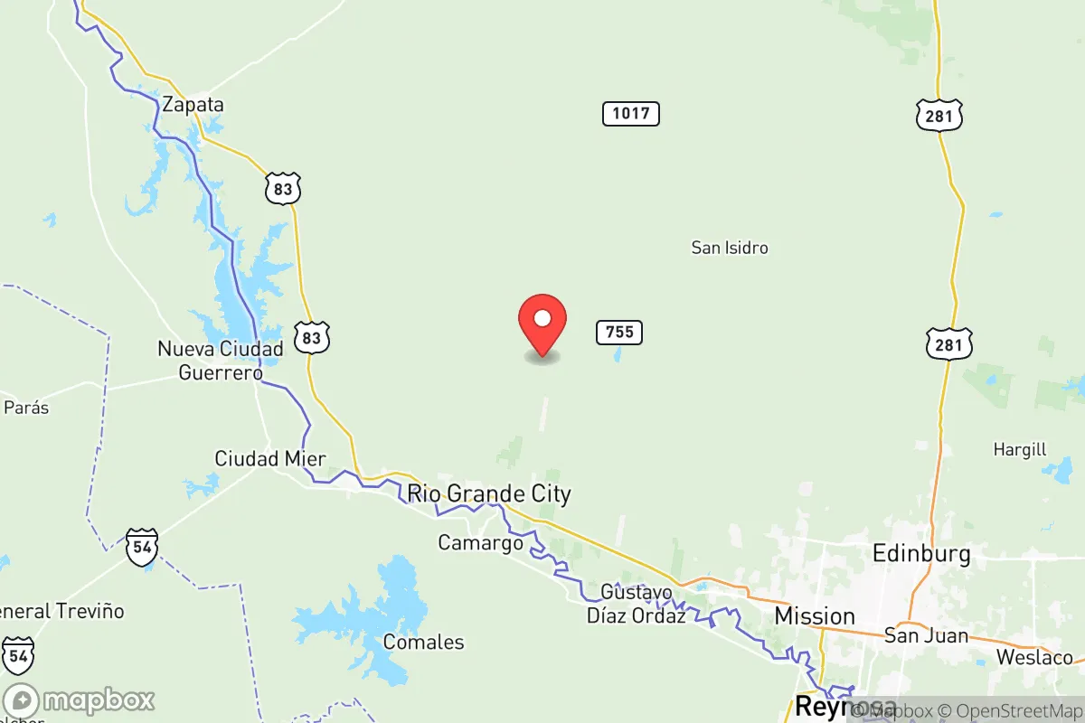
Starr County, Texas, offers a distinctive strategic profile for relocators prioritizing disaster readiness and self-sufficiency, blending deep-rooted community resilience with a location that is both remote from major metropolitan fallout zones and proximate to essential resources. Situated in the Rio Grande Valley along the U.S.-Mexico border, the county’s seat of Rio Grande City and its largest town, Roma, anchor a region that has historically weathered economic and environmental challenges through tight-knit social networks and a strong agricultural base. For a conservative-leaning audience focused on preparedness, Starr County presents a mix of genuine geographic advantages and specific risks that demand careful consideration.
Geographic position and natural advantages for self-sufficiency
Starr County’s primary strategic asset is its location roughly 120 miles from the nearest major metropolitan area—McAllen to the east—and over 200 miles from the sprawling Houston refinery corridor, a high-value target in any major disruption scenario. This distance buffers the county from the immediate fallout, panic, and infrastructure collapse that would likely engulf larger cities. The county sits within the fertile Rio Grande Plain, with the Rio Grande River forming its southern border, providing a reliable surface water source for irrigation and household use. The semi-arid climate, with average annual rainfall of about 20 inches, supports ranching and farming—cattle, citrus, and vegetables are staples—meaning local food production is a tangible reality, not just a hypothetical. The terrain is mostly flat to gently rolling, with scattered brush country, offering moderate defensibility; the lack of dense forests or mountains means clear sightlines but limited natural cover. For a relocator, the ability to tap into existing agricultural networks in communities like La Grulla or Escobares could be a practical advantage, as local knowledge of water management and food preservation is deeply embedded in the culture.
Risks, exposures, and proximity to fallout-relevant landmarks
While Starr County avoids the direct blast zones of major cities, it is not without significant risks. The most immediate natural threat is extreme heat and drought; summer temperatures regularly exceed 100°F, and prolonged dry spells can stress water supplies and agriculture. Flash flooding from the Rio Grande or its tributaries, particularly after tropical storms, is a recurring hazard—the county has experienced several federal disaster declarations for flooding since 2010. On the man-made risk side, the county’s border location means it is a corridor for cartel activity and illegal crossings, which can spike during national disruptions. The Anzalduas International Bridge and the Roma–Ciudad Miguel Alemán International Bridge are potential chokepoints for both legitimate trade and illicit movement. More critically, the county lies within 150 miles of the South Texas Nuclear Generating Station near Bay City, a potential fallout source in a worst-case scenario. Prevailing winds from the southeast could carry radioactive material toward Starr County, though the distance and typical wind patterns reduce the probability of acute exposure. The Falcon International Reservoir, a major dam and water source shared with Mexico, is a strategic asset but also a target for sabotage or structural failure. For a relocator, these risks are manageable with planning—unlike living next to a refinery or military base—but they are not negligible.
Practical resilience for a relocator: food, water, energy, and defensibility
Starr County’s practical resilience hinges on its agricultural base and community infrastructure. Local food production is robust: the county has over 1,000 farms, with citrus groves, vegetable fields, and cattle operations that could sustain a local population in a prolonged disruption. Farmers’ markets in Rio Grande City and Roma operate year-round, and many residents maintain home gardens and livestock—a cultural norm that aligns with self-sufficiency goals. Water access is a double-edged sword: the Rio Grande provides a surface source, but it is heavily allocated and subject to treaty obligations with Mexico, meaning drought years can trigger shortages. Groundwater from the Gulf Coast Aquifer is available but requires drilling and pumping, which is energy-dependent. Speaking of energy, the county is served by the Electric Reliability Council of Texas (ERCOT) grid, which has proven vulnerable to winter storms (e.g., 2021’s Uri) and summer demand spikes. Solar potential is excellent—over 300 sunny days per year—making off-grid solar panels a viable investment for powering a home and well pump. Defensibility is moderate: the flat terrain offers little natural cover, but the dispersed population (about 65,000 residents across 1,200 square miles) means low population density, reducing competition for resources. The strong community bonds, often centered on churches and family networks, provide a social safety net that is more reliable than government aid in a crisis. For a relocator, the key is to secure a property with a well, solar panels, and enough land for a garden—achievable here at lower costs than in many Texas counties.
The overall strategic picture for Starr County is one of trade-offs: it offers genuine distance from high-value targets and a self-sufficient agricultural tradition, but it also carries exposure to border-related instability, extreme weather, and a fragile energy grid. For a conservative-leaning relocator who values community, land, and a slower pace, the county provides a viable base for building resilience—provided they invest in water storage, renewable energy, and local connections. It is not a fortress, but it is a place where preparedness is already part of the culture, and where the risks are known and manageable rather than catastrophic. The county’s future will depend on how well it balances its agricultural heritage with the pressures of border security and climate change, but for now, it remains a solid option for those seeking a strategic retreat from urban vulnerability.
* Values derived from national, state, county, city and local statistics and may differ in a specific area. Last updated: 2026-06-11T18:21:57.000Z
Narrative content on this page is AI-generated and may contain mistakes. Verify any details that matter before acting on them.
ReloMaps may earn a commission from affiliate links at no extra cost to you.