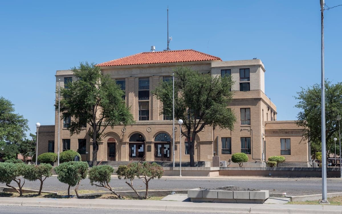
Photo: Wikipedia
Strategic Assessment of Reeves County
Strong survivability profile. Good buffer from population centers, with manageable environmental and tactical risks.
What does the Strategic Assessment tell us?
Our Strategic Assessment grades tactical survivability of an area. Major population centers, military targets, fallout zones, natural disasters, and border exposure all drive risk — lower exposure means a more defensible position in a crisis.
This is heavily inspired by Joel Skousen's Strategic Relocation book. Highly recommended you checkout the book ($)What does this tell us?
Our Strategic Assessment grades tactical survivability of an area. Major population centers, military targets, fallout zones, natural disasters, and border exposure all drive risk — lower exposure means a more defensible position in a crisis.
This is heavily inspired by Joel Skousen's Strategic Relocation book. Highly recommended you checkout the book ($)Strategic Pillars

Key Distances
Strategic Assessment Analysis
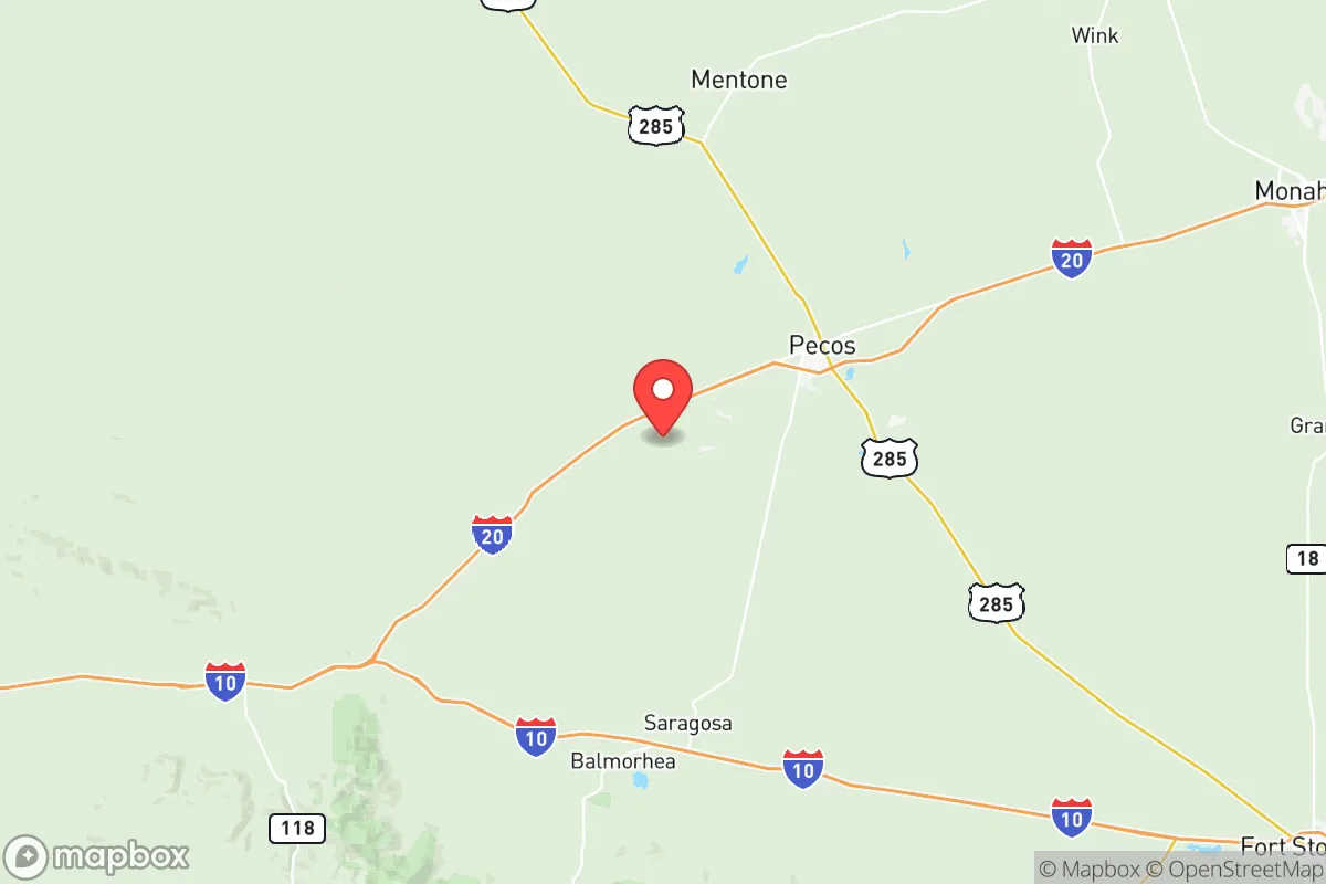
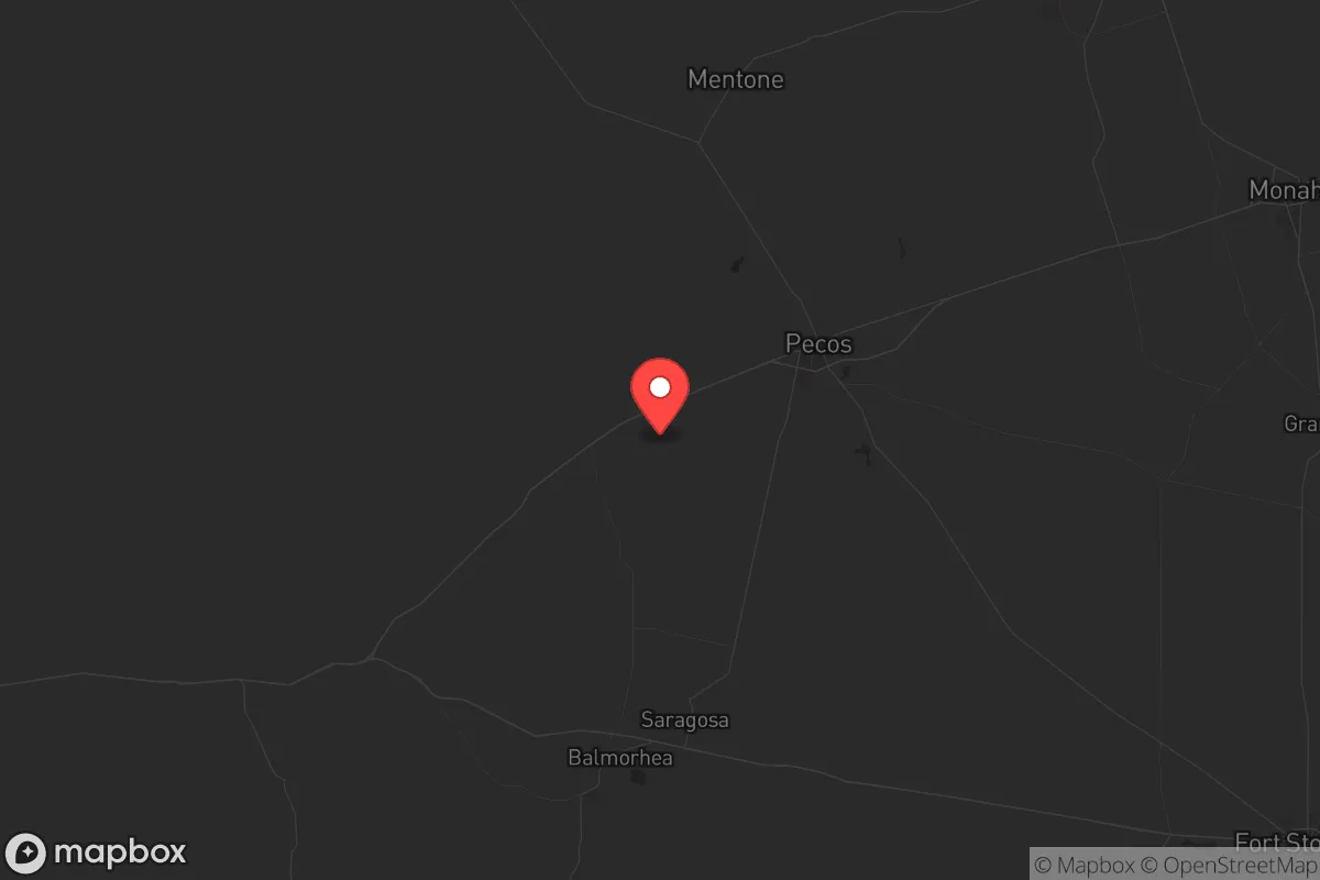
Reeves County, Texas, offers a compelling strategic position for those prioritizing resilience and self-sufficiency, anchored by the small city of Pecos and the unincorporated communities of Toyah and Orla. Its location in the far western part of the state, roughly 50 miles from the New Mexico border and 200 miles from El Paso, places it well outside the major population corridors and industrial fallout zones that concern many preppers. The county’s sparse population—around 14,000 residents spread over 2,600 square miles—means low density and minimal target value, while its position along Interstate 20 provides a critical east-west logistics corridor without the congestion of larger urban centers.
Geographic position and natural advantages for long-term survival
Reeves County sits in the Trans-Pecos region, a high desert environment with elevations around 2,600 feet, offering a dry climate that reduces the risk of mold, rust, and waterborne diseases common in humid areas. The area’s primary natural advantage is its access to the Pecos River, which runs through the eastern part of the county and provides a reliable surface water source—a rarity in West Texas. The county also overlies the Capitan Reef aquifer, though water quality varies and requires testing. The terrain is a mix of flat plains and low hills, offering good visibility and defensible positions, particularly around the Davis Mountains to the south. For a relocator, the lack of major floodplains, hurricane paths, or seismic activity makes this a stable geographic bet. The nearest major military installation is Fort Bliss near El Paso, about 150 miles west, which is far enough to avoid direct fallout from a base-targeting event but close enough to potentially benefit from military logistics in a prolonged crisis. The county’s position also places it roughly 250 miles from the Permian Basin’s oil and gas infrastructure around Midland-Odessa, which could be a secondary target but is distant enough to avoid direct blast or fallout effects.
Risks, exposures, and proximity to fallout-relevant landmarks
The primary risk in Reeves County is its proximity to the Permian Basin’s energy infrastructure, including the massive refineries and processing plants in Odessa and Midland, about 80 miles east. While not a direct nuclear target, these industrial sites could be secondary objectives in a conflict, and a strike on the Permian’s pipeline hubs could disrupt fuel supplies. The county also sits near the Pecos River’s floodplain, though flash flooding is rare and localized. More concerning is the potential for a strike on the Pantex nuclear weapons plant near Amarillo, about 250 miles north—fallout patterns from a high-altitude burst could drift south, though prevailing winds typically carry east. The county’s sparse population means it’s unlikely to be a primary target, but its position along I-20 could make it a transit corridor for displaced populations from El Paso or Midland-Odessa in a collapse scenario. The nearby city of Pecos itself has a small airport and rail lines, which could be choke points for movement. For a prepper, the key exposure is the county’s reliance on external food and fuel supplies—local agriculture is limited to hay and some livestock, and most goods come via I-20 from larger distribution centers.
Practical resilience for a relocator: food, water, energy, and defensibility
Water is the critical resource in Reeves County. The Pecos River provides a year-round surface source, but it’s brackish in stretches and requires treatment—reverse osmosis or distillation setups are essential. The county’s groundwater from the Capitan Reef is generally potable but can be high in sulfates, so well testing is a must. Rainwater harvesting is viable given the low humidity, with average annual rainfall around 10 inches, but storage is key. For food, the county’s agricultural base is thin—local farms produce cotton, hay, and some pecans, but most food is trucked in. A relocator should plan for extensive gardening using drip irrigation from river water, and consider livestock like goats or chickens, which are common in the area. Energy is a strong point: the region has excellent solar potential, with over 300 sunny days per year, and wind resources are moderate. The county is part of the ERCOT grid, which is prone to outages during winter storms (as seen in 2021), so off-grid solar with battery storage is a wise investment. Defensibility is good due to low population density—properties with clear sightlines and limited access points are available. The county’s law enforcement presence is minimal, with the Reeves County Sheriff’s Office covering vast territory, so community self-reliance is the norm. The nearest hospital is in Pecos, but for serious trauma, transport to Odessa or El Paso is required, which is a vulnerability in a crisis.
The overall strategic picture for Reeves County is one of trade-offs: it offers excellent geographic isolation, reliable water from the Pecos River, and strong solar energy potential, but it’s not a self-sufficient paradise. The county’s position near the Permian Basin’s energy infrastructure introduces a moderate risk of secondary fallout or supply chain disruption, and its reliance on external food and medical supplies means a relocator must be prepared to stockpile and produce. For a conservative-leaning individual or family looking to escape urban decay and prepare for civic unrest, Reeves County provides a defensible, low-profile base with access to a critical water source and minimal regulatory friction—Texas has no state income tax and limited land-use restrictions. The key is to secure a property with river access or a deep well, invest in solar and water treatment, and build a network with like-minded locals in the Pecos area. It’s not a bug-out location for a weekend; it’s a long-term homesteading play for those serious about riding out the storm in a place that’s off the radar but not off the map.
* Values derived from national, state, county, city and local statistics and may differ in a specific area. Last updated: 2026-04-22T02:10:32.000Z
Narrative content on this page is AI-generated and may contain mistakes. Verify any details that matter before acting on them.
ReloMaps may earn a commission from affiliate links at no extra cost to you.