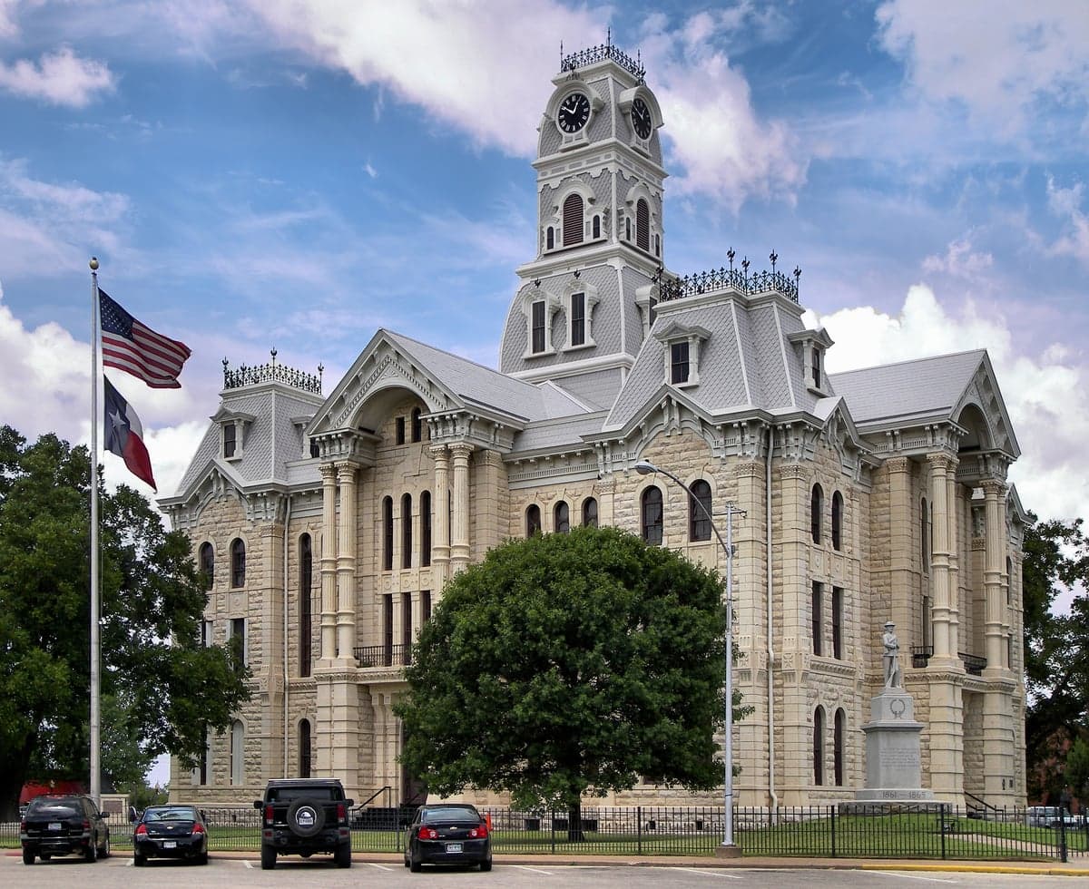
Photo: Wikipedia
Strategic Assessment of Hill County
Workable tactical position. Some exposure to population density or targets, but generally defensible in a crisis.
What does the Strategic Assessment tell us?
Our Strategic Assessment grades tactical survivability of an area. Major population centers, military targets, fallout zones, natural disasters, and border exposure all drive risk — lower exposure means a more defensible position in a crisis.
This is heavily inspired by Joel Skousen's Strategic Relocation book. Highly recommended you checkout the book ($)What does this tell us?
Our Strategic Assessment grades tactical survivability of an area. Major population centers, military targets, fallout zones, natural disasters, and border exposure all drive risk — lower exposure means a more defensible position in a crisis.
This is heavily inspired by Joel Skousen's Strategic Relocation book. Highly recommended you checkout the book ($)Strategic Pillars

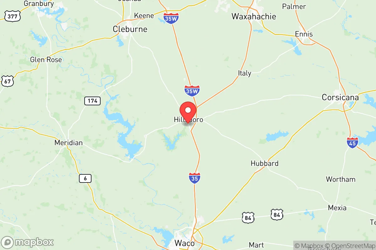
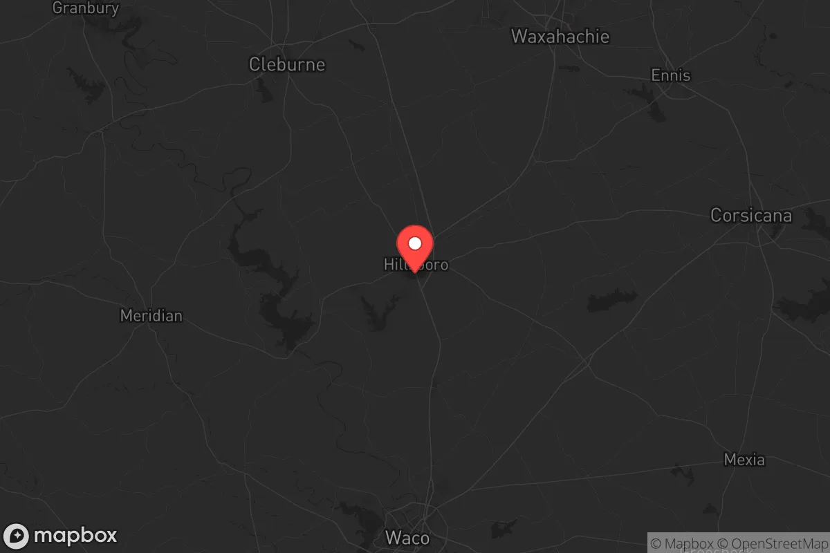
Key Distances
Strategic Assessment Analysis
Hill County, Texas, sits in a strategic sweet spot that resilience-minded relocators should take seriously: far enough from major metropolitan blast zones to avoid the worst of a mass casualty event or civil unrest cascade, yet close enough to critical infrastructure to maintain supply access if the grid holds. Located about 60 miles south of the Dallas-Fort Worth metroplex and 30 miles north of Waco, the county offers a buffer that most suburban preppers overlook. The area’s population hovers around 37,000, with the county seat of Hillsboro serving as the primary hub—small enough to know your neighbors, large enough to have a hospital and a Walmart. For single individuals and parents looking to plant roots in a place that can weather both natural disasters and man-made chaos, Hill County deserves a hard look.
Geographic position and natural advantages for long-term stability
Hill County’s location along the I-35 corridor is a double-edged sword, but for the prepared, it’s a net positive. The interstate provides rapid evacuation routes north to Oklahoma or south to the Gulf Coast, while the county’s position on the Balcones Escarpment offers slightly higher elevation than the flood-prone coastal plains. The terrain is rolling hills with limestone bedrock—good for well drilling and root cellars, bad for large-scale flooding. The area sits outside the 100-year floodplain for the most part, though the Brazos River cuts through the western edge near Aquilla and Lake Whitney. That lake, a 23,000-acre reservoir, is a major water security asset: it’s controlled by the U.S. Army Corps of Engineers and provides a reliable freshwater source even during drought cycles. The county’s agricultural base—cotton, hay, and cattle—means local food production isn’t a fantasy. For a family looking to buy acreage and become semi-self-sufficient, the blackland prairie soil is workable, and the growing season runs 230 days. The nearest major military installation is Fort Cavazos (formerly Fort Hood), about 45 miles southwest near Killeen. That proximity offers a potential security buffer: military families and veterans are thick on the ground, and the base itself is a logistical hub that could stabilize the region during a national emergency. But it also means Hill County sits in the shadow of a high-value target—more on that in a moment.
Risks, exposures, and proximity to fallout-relevant landmarks
No strategic assessment is honest without naming the threats. Hill County’s biggest exposure is its position along I-35, a primary north-south logistics corridor. In a mass casualty event—say, a coordinated attack on infrastructure—that highway becomes a chokepoint for refugees fleeing Dallas or Waco. The county is also within 100 miles of the Houston Ship Channel and refinery corridor, which includes the largest petrochemical complex in the country. A strike on those refineries could send a toxic plume drifting north, depending on prevailing winds. Hill County is not in the immediate blast zone of any major city, but it’s close enough to feel the secondary effects: panic, supply chain collapse, and an influx of displaced people. The Comanche Peak Nuclear Power Plant, located about 70 miles northwest near Glen Rose, is another concern. While the plant has a solid safety record, any nuclear incident—accidental or deliberate—would put Hill County in the downwind risk zone. On the plus side, the county has no major refineries, no chemical plants, and no high-value military targets within its borders. The Hillsboro Municipal Airport is a general aviation field, not a strategic asset. For a relocator, the calculus is: you’re far enough from the bullseyes to survive the initial event, but close enough to be affected by the aftermath. That’s where preparation comes in.
Practical resilience for a relocator: food, water, energy, and defensibility
Water is the first concern for any prepper, and Hill County has options. Lake Whitney is the obvious surface-water source, but it’s also a recreation hub that could become contested during a crisis. A better bet is drilling a private well—the Edwards-Trinity Aquifer runs under the county, with typical depths of 200 to 400 feet yielding 10 to 30 gallons per minute. That’s enough for a family and a small garden. Rainwater catchment is also viable, given the area averages 35 inches of precipitation annually. For food, the county has a working agricultural economy: you can buy raw land and start a garden or small livestock operation without fighting zoning laws. The Hillsboro Farmers Market operates seasonally, but don’t count on it in a collapse—you need your own production. Energy is trickier. The grid here is ERCOT, which has a documented history of failure during winter storms (see 2021). Solar is viable—the county gets about 220 sunny days per year—but battery storage is essential. Natural gas is available in towns but not in rural areas; propane tanks are common. Defensibility is where Hill County shines. The terrain is open enough to see threats coming but rolling enough to provide cover. Rural properties with long driveways and good sightlines are affordable: you can buy 10 to 20 acres for under $200,000 as of 2025. The county’s law enforcement presence is thin—the Hill County Sheriff’s Office has about 30 deputies for 1,000 square miles—so you’re largely responsible for your own security. That’s a feature, not a bug, for those who take preparedness seriously. The local culture leans heavily conservative, with a strong gun-ownership ethic and a “mind your own business” attitude that discourages unwanted attention.
The overall strategic picture for Hill County is one of calculated risk. It’s not a remote bunker in the Rockies, and it’s not a self-sufficient compound in the Idaho panhandle. What it offers is a middle ground: a place where a prepared family can live a normal life while maintaining the ability to ride out a regional crisis. The proximity to Fort Cavazos and the I-35 corridor cuts both ways—it’s a vulnerability, but it’s also a resource for trade, medical access, and community support. The county’s agricultural base and water access give it a resilience edge that most suburban subdivisions lack. For a single individual or a parent who wants to raise kids in a place where self-reliance is still valued and the government is more of a distant inconvenience than a daily presence, Hill County is worth a serious look. Just don’t expect to be completely insulated from the chaos of the wider world—no place in the lower 48 offers that. But if you’re looking for a strategic relocation that balances risk with opportunity, this is one of the better bets in central Texas.
* Values derived from national, state, county, city and local statistics and may differ in a specific area. Last updated: 2026-05-22T00:18:25.000Z
Narrative content on this page is AI-generated and may contain mistakes. Verify any details that matter before acting on them.
ReloMaps may earn a commission from affiliate links at no extra cost to you.