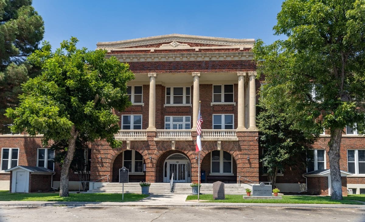
Photo: Wikipedia
Strategic Assessment of Brown County
Workable tactical position. Some exposure to population density or targets, but generally defensible in a crisis.
What does the Strategic Assessment tell us?
Our Strategic Assessment grades tactical survivability of an area. Major population centers, military targets, fallout zones, natural disasters, and border exposure all drive risk — lower exposure means a more defensible position in a crisis.
This is heavily inspired by Joel Skousen's Strategic Relocation book. Highly recommended you checkout the book ($)What does this tell us?
Our Strategic Assessment grades tactical survivability of an area. Major population centers, military targets, fallout zones, natural disasters, and border exposure all drive risk — lower exposure means a more defensible position in a crisis.
This is heavily inspired by Joel Skousen's Strategic Relocation book. Highly recommended you checkout the book ($)Strategic Pillars

Key Distances
Strategic Assessment Analysis
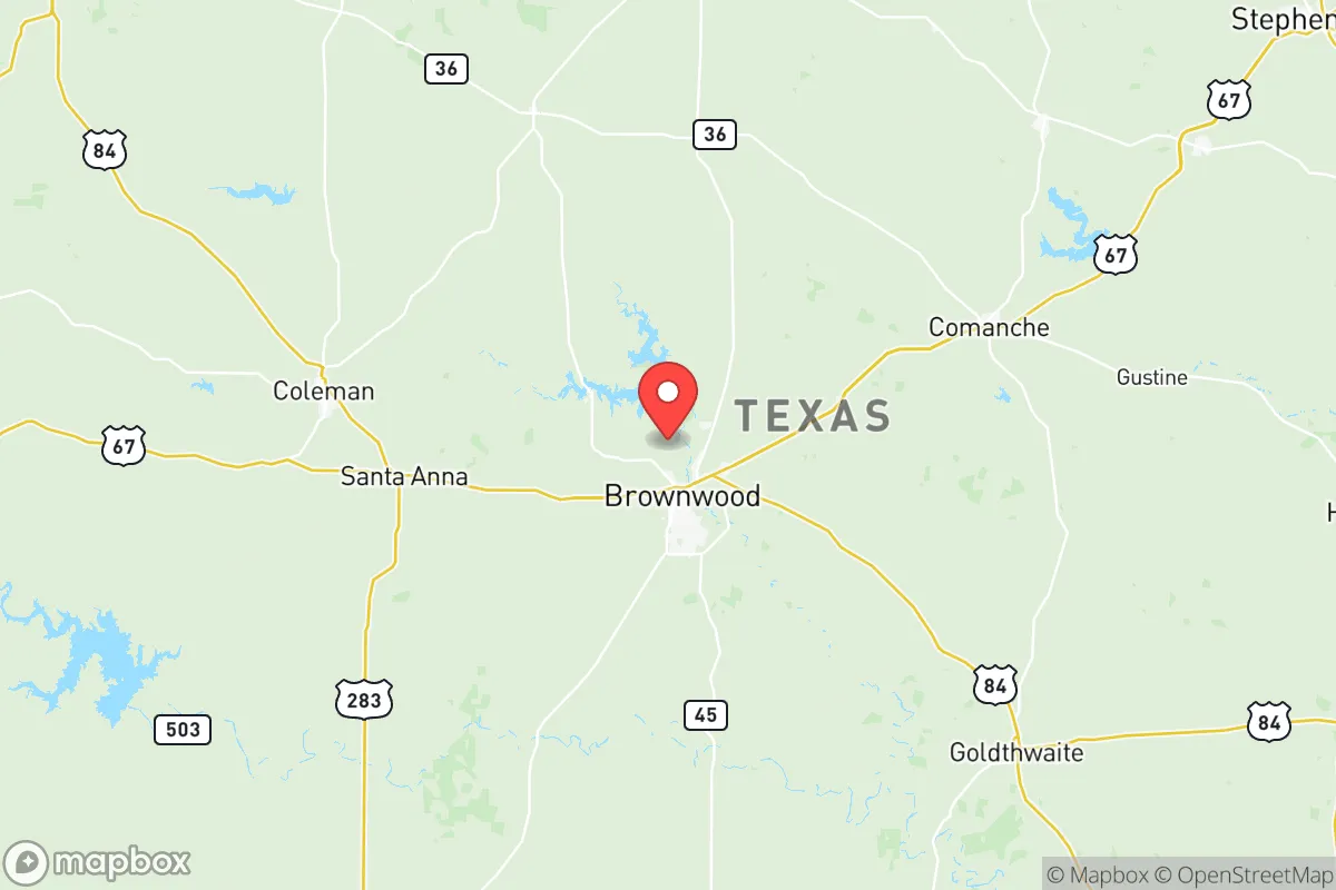
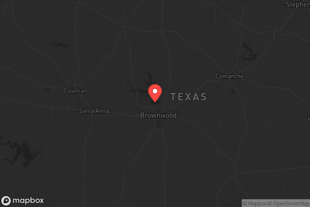
Brown County, Texas, offers a compelling strategic position for those prioritizing resilience and self-sufficiency, sitting squarely in the state's rugged Hill Country transition zone. Its county seat, Brownwood, anchors a region that is far enough from major metropolitan chaos to provide breathing room, yet close enough to access critical supply routes and medical infrastructure. For a conservative-leaning relocator concerned with civic stability and disaster preparedness, this area presents a balanced mix of natural defensibility, resource availability, and relative isolation from the most volatile fallout zones.
Geographic position and natural advantages for long-term security
Brown County's location is its primary strategic asset. It lies roughly 150 miles southwest of Fort Worth and 200 miles northwest of Houston, placing it outside the immediate blast or fallout radius of major military targets like Fort Hood (now Fort Cavazos) or the sprawling refinery corridor along the Gulf Coast. The terrain is rolling hills, limestone bedrock, and scattered mesquite and oak, offering natural cover and defensible high ground. The county is bisected by U.S. Highway 377 and U.S. Highway 183, providing two reliable north-south and east-west evacuation or resupply corridors that avoid the choke points of Interstate 35. The Pecan Bayou and Lake Brownwood provide a significant freshwater resource—Lake Brownwood alone holds over 7,500 surface acres of water, a critical asset in drought-prone Texas. The area's elevation, averaging around 1,400 feet, offers cooler summers and fewer tornado risks than the plains to the north, while the limestone geology supports stable well water and root cellars. For a prepper, this is terrain that favors the prepared over the populous.
Risks, exposures, and proximity to fallout-relevant landmarks
No location is without risk, and Brown County has specific exposures that a strategic relocator must weigh. The most significant is its proximity to Abilene, about 50 miles northwest, which hosts Dyess Air Force Base—a major B-1B bomber installation and a potential primary target in a conflict scenario. A ground burst at Dyess could send fallout across the prevailing wind patterns, potentially brushing the northwestern edge of Brown County. Similarly, the Brownwood Regional Airport itself, while small, could become a secondary target or a point of military staging. The county also sits within 100 miles of the Comanche Peak Nuclear Power Plant near Glen Rose, though prevailing winds generally carry any release away from the county. On the civic unrest front, Brownwood's population of roughly 19,000 means it lacks the anonymity of a large city, but also lacks the critical mass of law enforcement that a major metro might deploy. The county's jail and sheriff's office are adequate for normal operations, but a mass casualty event or grid-down scenario would strain local resources quickly. The Brown County Expo Center could serve as a FEMA staging or refugee processing point, which might attract unwanted attention. The key takeaway: Brown County is not a zero-risk zone, but its risks are manageable and predictable compared to the existential threats of Houston or Dallas.
Practical resilience for a relocator: food, water, energy, and defensibility
For a single individual or family looking to establish a resilient homestead, Brown County offers tangible advantages. Water is the first concern, and the area's groundwater is generally good—the Trinity Aquifer underlies the county, and many rural properties can drill productive wells at depths of 200-400 feet. Lake Brownwood provides a municipal backup, but a private well with a hand pump or solar-powered submersible is the gold standard here. Food production is viable: the growing season runs roughly March through November, and the limestone soil, while rocky, supports gardens, fruit trees (peach, pear, fig), and small livestock. The county has a strong agricultural tradition, with local feed stores, livestock auctions, and a cooperative extension office in Brownwood that offers soil testing and seed programs. Energy resilience is straightforward—solar potential is excellent, with over 260 sunny days per year, and many rural properties already have propane tanks for backup heating and cooking. Defensibility is where Brown County shines: the terrain offers natural chokepoints, and the low population density (roughly 38,000 total county residents) means you can find a property with a single access road, good sightlines, and no close neighbors. The Brown County Sheriff's Office and Brownwood Police Department are professional but stretched thin—you should plan to be your own first responder. The local hospital, Hendrick Medical Center Brownwood, is a 60-bed facility that can handle trauma stabilization but not major surgery; a serious injury would require a medevac to Abilene or Fort Worth.
The overall strategic picture for Brown County is one of calculated trade-offs. It offers genuine isolation from the most dangerous fallout zones—Houston's refinery corridor, Fort Cavazos, and the Dallas-Fort Worth metroplex are all far enough away that a single event would not directly threaten the county. The water, food, and energy resources are real and accessible, not theoretical. The conservative culture is a practical advantage: local governance is minimal, property taxes are moderate (roughly 1.3% of assessed value), and the Second Amendment is well-respected, with multiple gun shops and ranges in Brownwood and Early. The downsides are the proximity to Dyess AFB and the limited medical infrastructure, but these are known variables that can be planned for. For a relocator who values quiet readiness over urban convenience, Brown County, Texas, represents a solid, defensible base of operations—not a fortress, but a well-positioned outpost in a state that still values individual preparedness.
* Values derived from national, state, county, city and local statistics and may differ in a specific area. Last updated: 2026-05-12T13:53:17.000Z
Narrative content on this page is AI-generated and may contain mistakes. Verify any details that matter before acting on them.
ReloMaps may earn a commission from affiliate links at no extra cost to you.