
Photo: Wikipedia
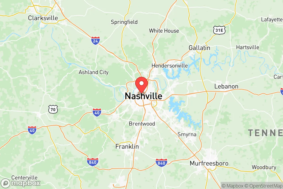
Strategic Assessment of Davidson County
Multiple tactical vulnerabilities. Population density, target proximity, or disaster risk are likely compounding. A retreat property and exit planning is required.
What does the Strategic Assessment tell us?
Our Strategic Assessment grades tactical survivability of an area. Major population centers, military targets, fallout zones, natural disasters, and border exposure all drive risk — lower exposure means a more defensible position in a crisis.
This is heavily inspired by Joel Skousen's Strategic Relocation book. Highly recommended you checkout the book ($)What does this tell us?
Our Strategic Assessment grades tactical survivability of an area. Major population centers, military targets, fallout zones, natural disasters, and border exposure all drive risk — lower exposure means a more defensible position in a crisis.
This is heavily inspired by Joel Skousen's Strategic Relocation book. Highly recommended you checkout the book ($)Strategic Pillars

Key Distances
Strategic Assessment Analysis
Davidson County, Tennessee, anchored by Nashville, presents a complex strategic picture for the conservative relocator seeking long-term resilience. While the county’s central location and booming economy offer undeniable advantages, its status as a major urban hub introduces significant vulnerabilities that demand careful consideration. For the individual or family prioritizing self-sufficiency and security in an era of increasing uncertainty, Davidson County is a high-risk, high-reward proposition—one that requires a clear-eyed assessment of both its natural strengths and its exposure to the cascading failures that could accompany civic unrest or major disasters.
Geographic position and natural advantages for long-term stability
Davidson County sits in the Nashville Basin, a region of rolling hills and fertile limestone valleys that provides a moderate climate and abundant water resources. The Cumberland River cuts through the heart of the county, offering a reliable freshwater source and a historical transportation corridor. The area is far enough inland to avoid direct hurricane storm surge and tsunami risks, and its elevation—averaging around 500 feet above sea level—mitigates the worst of riverine flooding in most neighborhoods, though low-lying areas near the river remain vulnerable. The surrounding landscape, including the Highland Rim to the east and west, provides natural defensibility through terrain that is neither flat plains nor impassable mountains. For the prepper, this means manageable travel routes and multiple egress options: Interstate 24, 40, and 65 all converge here, but secondary roads like US-70S and State Route 12 offer alternative paths out of the county if the interstates become clogged or compromised. The county’s position roughly 250 miles from the Gulf Coast and 150 miles from the Appalachian spine gives it a buffer from coastal storm surges and the most severe winter weather, while still being within a day’s drive of critical infrastructure like the Tennessee Valley Authority’s power grid and the Oak Ridge National Laboratory’s research assets.
Risks, exposures, and proximity to fallout-relevant landmarks
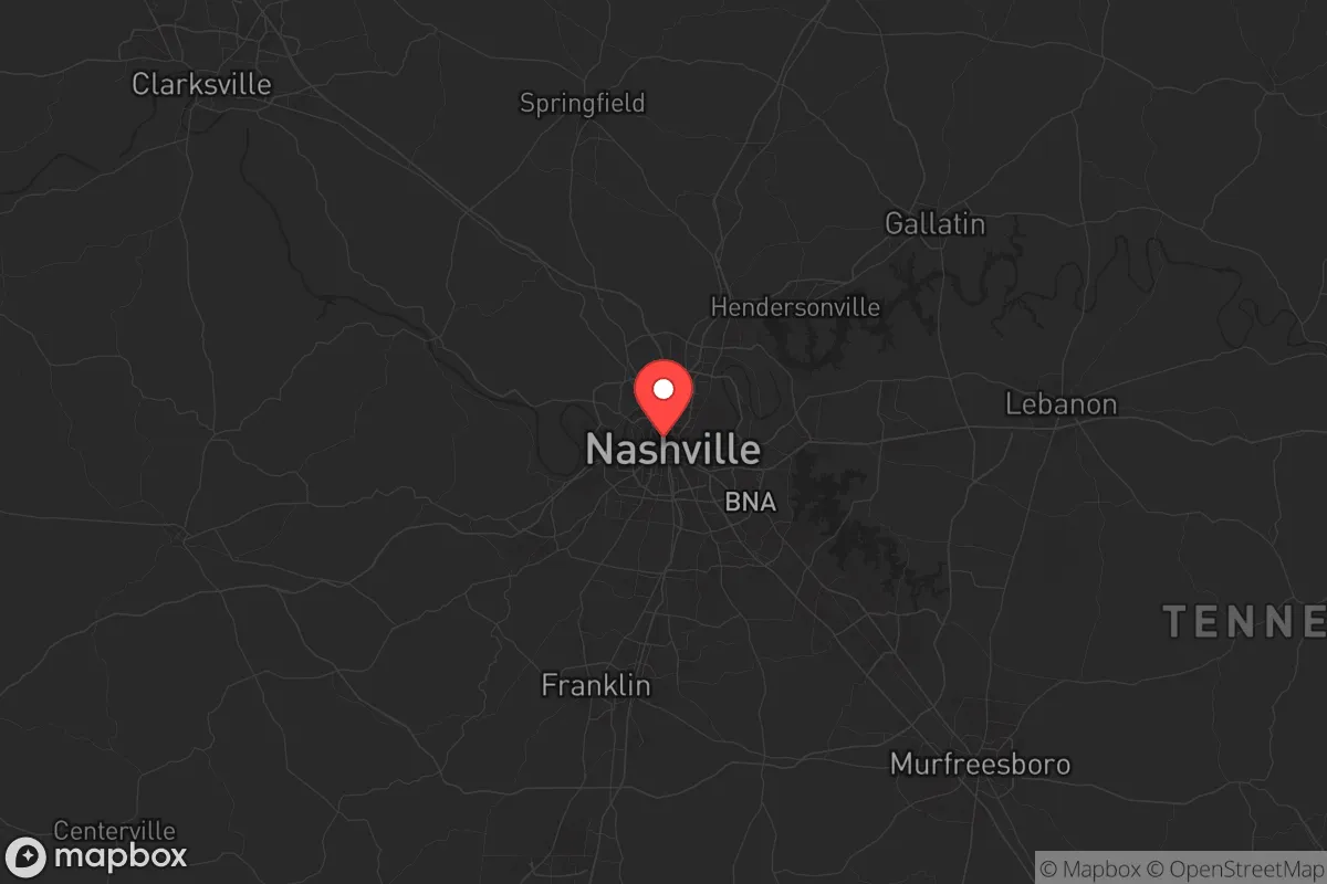
The most glaring vulnerability for Davidson County is its population density and urban core. Nashville’s metropolitan area exceeds 2 million people, making it a prime target for civil unrest, supply chain disruptions, and cascading infrastructure failures. The county is home to multiple high-value targets that could draw attention in a crisis: the Nashville International Airport (BNA) is a major transportation hub, the Tennessee State Capitol is a symbolic political center, and the city’s status as a healthcare and finance hub means a concentration of hospitals, data centers, and corporate headquarters. More concerning for the survivalist is the proximity to the Tennessee Valley Authority’s Cumberland Fossil Plant (about 60 miles northwest) and the Browns Ferry Nuclear Plant (about 120 miles south in Alabama). While not within the immediate blast zone of a nuclear incident, Davidson County lies within the potential fallout plume path for both facilities, depending on wind patterns. Additionally, the county’s reliance on the Cumberland River for barge traffic and industrial water intake means that a chemical spill or sabotage upstream—from the many refineries and chemical plants along the Ohio and Tennessee river systems—could contaminate the water supply for weeks. The presence of Fort Campbell, a major Army base 50 miles northwest, is a double-edged sword: it provides a potential source of military support in a national emergency, but it also makes the region a strategic target for adversaries seeking to disrupt U.S. force projection. For the relocator, the key takeaway is that Davidson County’s very success as a regional hub makes it a likely flashpoint in any widespread crisis.
Practical resilience for a relocator: food, water, energy, and defensibility
For the individual or family looking to establish a resilient homestead within Davidson County, the practical challenges are significant but not insurmountable. The county’s water supply is drawn primarily from the Cumberland River and treated at the Omohundro and K.R. Harrington water treatment plants. In a grid-down scenario, these facilities would be vulnerable to power loss and contamination. A well on private property is the gold standard, but many suburban and rural lots in the county—particularly in areas like Bellevue, Antioch, or the outskirts of Brentwood—have access to groundwater at depths of 100-300 feet. Rainwater catchment is also viable, given the region’s average 47 inches of annual precipitation. Food resilience is more challenging: Davidson County is heavily urbanized, and prime agricultural land is being consumed by development at a rapid pace. However, the surrounding counties—Williamson, Wilson, and Rutherford—still have active farms and farmers’ markets that could serve as supply nodes in a less severe disruption. For energy independence, solar panels with battery storage are feasible, as the region receives about 210 sunny days per year, though tree cover in many neighborhoods can limit rooftop potential. Natural gas is widely available for heating and cooking, but a propane backup system is advisable for those who can install it. Defensibility is the weakest point for most Davidson County properties. The urban and suburban layout—with grid-like streets, limited sightlines, and high population density—makes it difficult to secure a perimeter. Rural pockets in the northern part of the county, near the town of Goodlettsville, or in the western areas around the Cheatham County line, offer more acreage and natural barriers like ridges and creeks. For the relocator, the best strategy is to buy land on the county’s periphery, ideally with a well, septic, and a southern-facing slope for solar, while maintaining a low profile and a network of trusted neighbors.
The overall strategic picture for Davidson County is one of calculated risk. It offers a robust economy, a moderate climate, and a central location that could be advantageous in a regional crisis, but its urban density, critical infrastructure targets, and vulnerability to water and power disruptions make it a poor choice for the prepper seeking true isolation and self-sufficiency. For the conservative relocator who values community, economic opportunity, and a strong local culture—and who is willing to invest in off-grid capabilities and maintain a low profile—Davidson County can work, but only if you are prepared to bug in or bug out with a clear plan. The smart move is to treat Nashville as a resource hub, not a home base, and to secure property in the less populated outer ring of the county or in adjacent rural counties like Dickson or Hickman. In a world where the lights could go out or the streets could turn hostile, Davidson County is a place to visit for supplies, not a place to dig in for the long haul.
* Values derived from national, state, county, city and local statistics and may differ in a specific area. Last updated: 2026-05-09T19:31:42.000Z
Narrative content on this page is AI-generated and may contain mistakes. Verify any details that matter before acting on them.
ReloMaps may earn a commission from affiliate links at no extra cost to you.