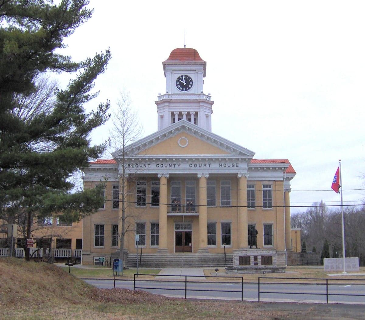
Photo: Wikipedia
Strategic Assessment of Blount County
Workable tactical position. Some exposure to population density or targets, but generally defensible in a crisis.
What does the Strategic Assessment tell us?
Our Strategic Assessment grades tactical survivability of an area. Major population centers, military targets, fallout zones, natural disasters, and border exposure all drive risk — lower exposure means a more defensible position in a crisis.
This is heavily inspired by Joel Skousen's Strategic Relocation book. Highly recommended you checkout the book ($)What does this tell us?
Our Strategic Assessment grades tactical survivability of an area. Major population centers, military targets, fallout zones, natural disasters, and border exposure all drive risk — lower exposure means a more defensible position in a crisis.
This is heavily inspired by Joel Skousen's Strategic Relocation book. Highly recommended you checkout the book ($)Strategic Pillars

Key Distances
Strategic Assessment Analysis
Blount County, Tennessee offers a strong balance of accessibility and defensible geography for relocation-minded readers focused on resilience, sitting at the junction of the Tennessee Valley and the western foothills of the Great Smoky Mountains. The county's position—with Maryville as its anchor, Alcoa to the north, and Townsend guarding the mountain gateway to the east—provides multiple layers of buffer against the kind of cascading disruptions that planners worry about. Unlike sprawling metro counties, Blount retains a compact, semi-rural character where self-sufficiency is still practical rather than aspirational.
Where Blount County sits: geographic advantages and natural buffers
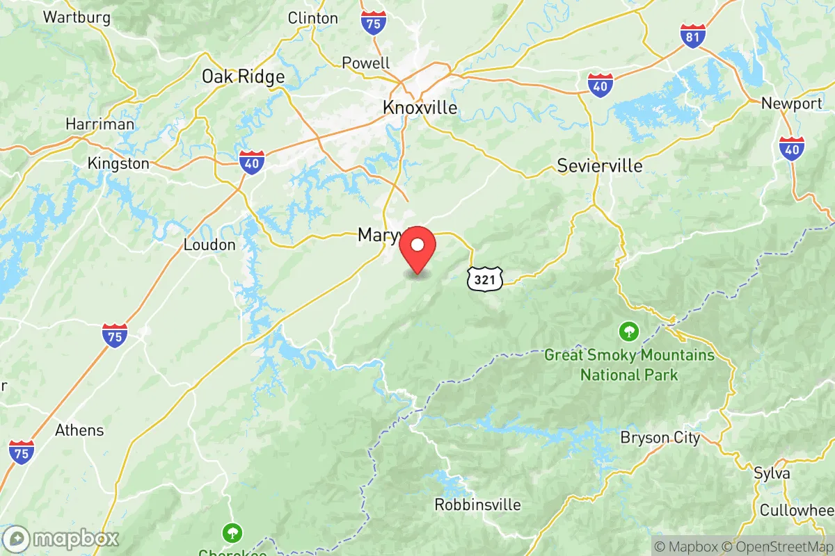
The county's eastern border is defined by the Great Smoky Mountains National Park, a massive natural barrier that blocks easy access from that direction and provides a near-limitless watershed. To the west and south, the land steps down through rolling farmland and forested ridges before meeting the Tennessee River at Fort Loudoun Lake, which forms part of the county's northwestern boundary. This lake is a significant strategic asset—it's a TVA-managed reservoir with reliable water levels, recreational access, and a shoreline that limits development pressure. Townsend, often called the "Peaceful Side of the Smokies," sits in a narrow valley that funnels traffic through a single mountain pass, making it one of the most defensible small-town positions in East Tennessee. Maryville and Alcoa occupy the broader floodplain of the Little River, with Maryville's historic downtown situated on higher ground above the river's natural flood zone. The terrain overall is rolling to mountainous, which complicates large-scale infrastructure projects but also makes the county harder to traverse for anyone unfamiliar with the local roads. For a relocator thinking in strategic terms, Blount County's geography offers natural chokepoints, abundant water, and limited points of entry from the east and south—all classic resilience features.
Risk exposure: natural hazards, industrial neighbors, and Knoxville proximity
No location is without exposure, and Blount County has specific risks that a serious planner should weigh. The county sits within the Tennessee Valley's severe weather zone; tornadoes are less frequent than in the Plains but do occur, and the hilly terrain can amplify localized flooding during heavy rain events. The Little River and its tributaries have flooded low-lying parts of Maryville and Alcoa historically, so any relocator should check FEMA flood maps before buying property. On the man-made risk side, the county hosts McGhee Tyson Air National Guard Base, a full-scale airlift and refueling wing with C-130s and KC-135s operating regularly. That means military air traffic, fuel storage, and the associated noise and security footprint—but also a strategic asset in a crisis. More significantly, Blount County lies roughly 20 miles south of Oak Ridge National Laboratory and the Y-12 National Security Complex, a nuclear weapons production and materials storage facility. While Oak Ridge is in the adjacent county, prevailing winds and proximity mean that a major incident there—however unlikely—could affect parts of Blount. Knoxville's urban core is about 15 miles north of Maryville, close enough that a metropolitan evacuation could push tens of thousands of people south along the I-140 corridor, straining local roads and resources. The county's primary vulnerability is its position along this north-south axis: Knoxville to the north, Oak Ridge to the northwest, and the mountains to the southeast. A relocator should plan for the possibility of southbound evacuation traffic and consider properties with rear access routes that don't depend on the main arteries.
Practical resilience: food, water, energy, and defensibility for a relocator
Blount County scores well on practical day-to-day resilience for someone looking to reduce dependency on fragile supply chains. The agricultural base is real: the county has working farms producing beef, poultry, row crops, and timber, with farmers markets in Maryville and Townsend that operate through much of the year. Water availability is excellent—Fort Loudoun Lake, the Little River, and dozens of springs and creeks provide surface water, and the water table in the valley is high enough that wells are common in rural areas. The county's water utility treats surface water from the Little River and Fort Loudoun Lake, giving residents who are on municipal supply a redundant source. For off-grid energy, the region has moderate solar potential (about 4.5 peak sun hours per day) and the mountain ridges offer consistent wind exposure at higher elevations, though zoning for wind turbines is restrictive in the national park buffer zone. Wood heating is practical here: hardwood forest covers roughly 60% of the county, and the unincorporated areas allow timber harvest with standard permits. Defensibility is where Blount County really stands out. The mountain passes east of Townsend can be monitored with minimal personnel. The rural southern and eastern parts of the county have long driveways, natural sightlines, and limited through-traffic. Internet access is available via fiber in Maryville and Alcoa, but rural areas rely on fixed wireless or satellite—a consideration for anyone needing reliable communications during an emergency. The county's emergency services are well-regarded, with a countywide fire department, a dedicated emergency management agency, and mutual aid agreements with surrounding counties.
Overall, Blount County presents a compelling strategic picture for the relocator who values natural buffers, water abundance, and low population density in the mountain fringe, while accepting proximity to Knoxville's urban corridor and Oak Ridge's nuclear footprint as manageable risks. The county's strengths are in its geography and agricultural base; its weaknesses are in its position relative to major infrastructure targets to the north. For a family or individual willing to invest in well water, backup power, and a defensible property on the Townsend or southern Maryville side, Blount County offers one of the more balanced resilience profiles in the eastern Tennessee region. The key is choosing the right sub-area—leaning toward the mountain edge rather than the valley floor, and verifying flood and access details property by property. Done right, this is a location that can weather most disruptions short of a direct catastrophe.

* Values derived from national, state, county, city and local statistics and may differ in a specific area. Last updated: 2026-06-24T05:25:29.000Z
Narrative content on this page is AI-generated and may contain mistakes. Verify any details that matter before acting on them.
ReloMaps may earn a commission from affiliate links at no extra cost to you.

