
Photo: Wikipedia
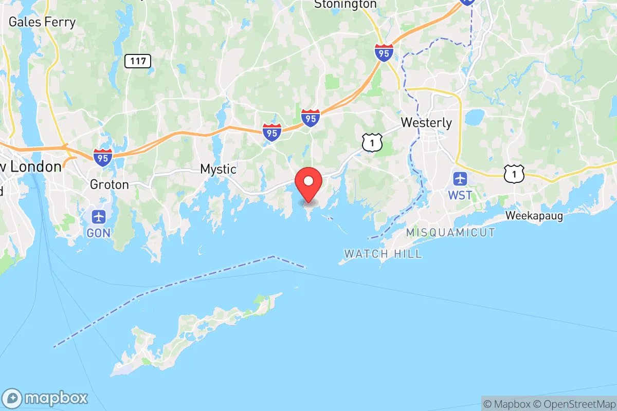
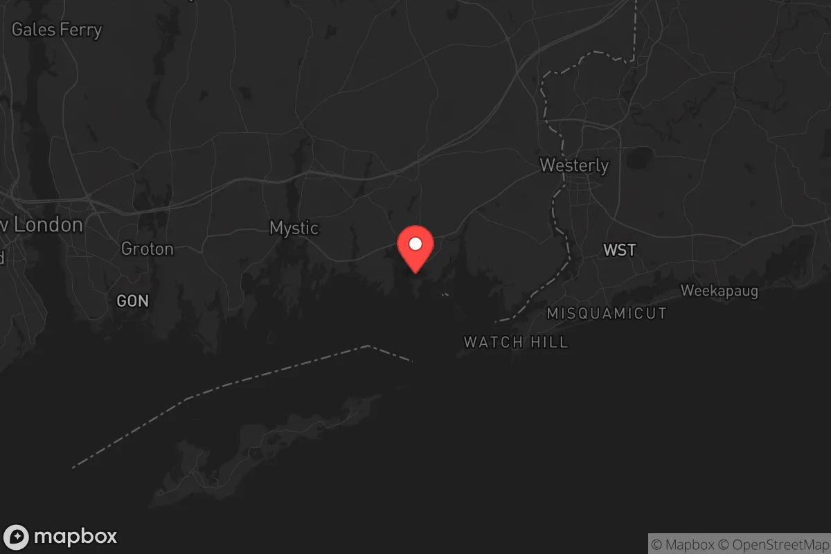
Strategic Assessment of Stonington, CT
Multiple tactical vulnerabilities. Population density, target proximity, or disaster risk are likely compounding. A retreat property and exit planning is required.
What does the Strategic Assessment tell us?
Our Strategic Assessment grades tactical survivability of an area. Major population centers, military targets, fallout zones, natural disasters, and border exposure all drive risk — lower exposure means a more defensible position in a crisis.
This is heavily inspired by Joel Skousen's Strategic Relocation book. Highly recommended you checkout the book ($)What does this tell us?
Our Strategic Assessment grades tactical survivability of an area. Major population centers, military targets, fallout zones, natural disasters, and border exposure all drive risk — lower exposure means a more defensible position in a crisis.
This is heavily inspired by Joel Skousen's Strategic Relocation book. Highly recommended you checkout the book ($)Strategic Pillars

Key Distances
Regional Safe Places
Below is our recommended "safe zones" in Connecticut and the surrounding area based on our strategic heuristics. For most people, it's unrealistic to live in a “safe zone” full-time due to work, family or other personal reasons. They tend to be more rural. However, many of these areas are perfect for second homes and retreat properties that double as a vacation home or even a short-term rental.


Important Note: For informational purposes only. This does not mean nothing bad ever happens in the green zones. Please use common sense. This is based on public data and modeled with AI. We tried to take a conservative approach but mistakes happen. We update this regularly as new information becomes available.
Solar Generator Recommendations
Backup power matters more here than in safer locations. We've picked three solar generators across budgets and capacity tiers — start with the budget unit if you only need a few essentials, or step up if you want to run a fridge and HVAC for days at a time.

Jackery Portable Power Station Explorer 300
Budget OptionPower on the Go: Weighing only 11 lbs, it's convenient to set up and store with book-sized foldable solar panels

BLUETTI Portable Power Station AC180
Designed for both indoor and outdoor scenarios, AC180 is highly capable as it has a robost capacity and continuous output power.

EF ECOFLOW DELTA Pro Ultra Power Station
Upgraded PickEcoFlow DELTA Pro Ultra is a whole-home energy system designed to grow with your family. Integrated with the Smart Home Panel 2, it scales to meet your evolving energy needs — keeping your home powered, intelligent, and secure through every stage of life.
We earn a commission, at no additional cost to you.
Strategic Assessment Analysis
Stonington, Connecticut, offers a strategic relocation option for those prioritizing resilience and self-sufficiency in an increasingly uncertain national landscape. This coastal town, anchored by the historic borough of Stonington and the village of Mystic, sits in a geographic pocket that balances proximity to critical infrastructure with a degree of natural separation from major population centers. Its position on the southeastern Connecticut coast, near the Rhode Island border, provides a mix of maritime resources, rural buffer zones, and a community character that leans toward independence and preparedness, making it a viable base for those concerned with civic unrest, mass casualty events, and long-term disaster scenarios.
Geographic position and natural advantages for long-term survival
Stonington’s location is its primary strategic asset. It sits on a peninsula jutting into Fishers Island Sound, with the Atlantic Ocean to the south and the Pawcatuck River forming its eastern border with Rhode Island. This configuration offers two distinct escape routes by water—a critical advantage if road networks become compromised during a crisis. The town’s 12 miles of coastline include protected harbors, coves, and inlets that allow for small-boat access to the open ocean, which is invaluable for fishing, evacuation, or resupply. Inland, the terrain rises gently into wooded hills and farmland, with the nearby Pachaug State Forest and the Barn Island Wildlife Management Area providing over 10,000 acres of public land for foraging, hunting, and timber. The area’s average elevation of 100 feet above sea level means it is largely immune to storm surge from a hurricane, though low-lying coastal zones near the borough remain vulnerable. The climate is temperate, with four distinct seasons, allowing for year-round food production in greenhouses or cold frames, and the region receives an average of 50 inches of rainfall annually—enough to sustain rain catchment systems without severe drought risk. For a relocator, this means a defensible position with natural resources that can support a semi-autonomous lifestyle, far from the immediate chaos of a major metropolitan collapse.
Risks, exposures, and proximity to fallout-relevant landmarks
No location is without vulnerabilities, and Stonington has several that demand attention. The most significant is its proximity to the Millstone Nuclear Power Station, located just 10 miles west in Waterford. While the plant has a strong safety record, a catastrophic failure—whether from accident, sabotage, or a cascading grid event—would place Stonington within the 10-mile emergency planning zone, requiring immediate evacuation or sheltering. The prevailing winds from the west mean fallout could drift directly over the town. Additionally, the town is within 30 miles of the Groton submarine base, a high-value military target in any conflict scenario, and the New London Naval Submarine Base, which hosts nuclear-powered vessels. A strike on either facility would produce secondary effects, including electromagnetic pulse (EMP) disruptions and potential radiological contamination. On the civilian side, Stonington is 45 miles from Providence, 55 miles from Hartford, and 100 miles from Boston, placing it within the suburban sprawl of the Northeast Corridor. In a mass evacuation event, Interstate 95, which runs through the northern part of town, would become a chokepoint, and the nearby Amtrak rail line could be a vector for refugees or looters. The town’s population of roughly 18,000 swells significantly during summer tourist season, straining local resources and increasing the risk of disease transmission or civil disorder. For the prepper, these factors mean that while Stonington offers a buffer, it is not a remote redoubt—it requires a plan for both sheltering in place and rapid egress by sea or secondary roads like Route 2 or Route 49.
Practical resilience for a relocator: food, water, energy, and defensibility
For a single individual or family looking to establish a resilient homestead, Stonington provides a workable foundation. The town’s agricultural heritage is still alive, with several working farms like the 200-year-old Stonington Farms and the organic Avalonia Land Conservancy properties offering opportunities for community-supported agriculture (CSA) shares, raw milk purchases, and direct-to-consumer meat sales. The coastal waters yield bluefish, striped bass, and lobster, and the tidal flats provide clams and oysters for those with a shellfish license. Freshwater sources include the Pawcatuck River and numerous ponds, but municipal water comes from the Stonington Water Company, which relies on surface reservoirs—vulnerable to contamination or sabotage. A private well is a major advantage, and many rural properties have them, with depths averaging 200-400 feet. For energy, the town is served by Eversource, but grid reliability is a concern during nor’easters and hurricanes. Solar panels with battery storage are feasible, and the area has good solar insolation for New England, averaging 4.5 peak sun hours per day. Wood stoves are common in older homes, and the surrounding forests provide ample fuel for heating and cooking. Defensibility is mixed: the borough’s narrow, winding streets and dense historic housing make it hard to secure, but rural properties on dead-end roads or with wooded buffers offer natural cover and limited access points. The town’s low crime rate—violent crime is roughly 1.2 per 1,000 residents, well below the national average—suggests a community that is self-policing and neighborly, which is a force multiplier in a crisis. However, the local police force is small (about 30 officers), and in a widespread emergency, response times would be long. Building a network of like-minded locals through churches, volunteer fire departments, or the local gun club (the Stonington Gun Club) is essential for mutual aid and perimeter security.
The overall strategic picture for Stonington is one of calculated risk. It is not a bug-out location in the wilderness sense, but it is a viable “gray man” base—a place where a prepared individual can blend into a quiet coastal community while maintaining the capacity to weather a range of disruptions. The town’s maritime access, agricultural resources, and moderate population density offer a balance between isolation and access to critical supplies. The primary threats—nuclear infrastructure, proximity to major cities, and seasonal tourism—are manageable with proper planning, including a secondary retreat location inland (such as in the Quiet Corner of Connecticut or rural Rhode Island) and a watercraft for evacuation. For the conservative relocator who values self-reliance, community cohesion, and a low-profile lifestyle, Stonington represents a solid, if not perfect, option in the Northeast. The key is to arrive with a plan, not just a dream, and to treat this town as a base of operations rather than a final fortress.
* Values derived from national, state, county, city and local statistics and may differ in a specific area. Last updated: 2026-04-19T08:24:39.000Z
Narrative content on this page is AI-generated and may contain mistakes. Verify any details that matter before acting on them.
ReloMaps may earn a commission from affiliate links at no extra cost to you.