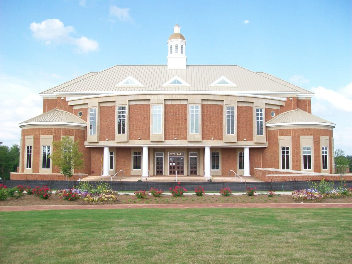

Photo: Wikipedia
Strategic Assessment of Stockbridge, GA
Meaningful friction. Expect exposure to either population pressure, blast zones, or natural disaster risk. Consider buying a retreat property.
What does the Strategic Assessment tell us?
Our Strategic Assessment grades tactical survivability of an area. Major population centers, military targets, fallout zones, natural disasters, and border exposure all drive risk — lower exposure means a more defensible position in a crisis.
This is heavily inspired by Joel Skousen's Strategic Relocation book. Highly recommended you checkout the book ($)What does this tell us?
Our Strategic Assessment grades tactical survivability of an area. Major population centers, military targets, fallout zones, natural disasters, and border exposure all drive risk — lower exposure means a more defensible position in a crisis.
This is heavily inspired by Joel Skousen's Strategic Relocation book. Highly recommended you checkout the book ($)Strategic Pillars

Key Distances
Regional Safe Places
Below is our recommended "safe zones" in Georgia and the surrounding area based on our strategic heuristics. For most people, it's unrealistic to live in a “safe zone” full-time due to work, family or other personal reasons. They tend to be more rural. However, many of these areas are perfect for second homes and retreat properties that double as a vacation home or even a short-term rental.


Important Note: For informational purposes only. This does not mean nothing bad ever happens in the green zones. Please use common sense. This is based on public data and modeled with AI. We tried to take a conservative approach but mistakes happen. We update this regularly as new information becomes available.
Solar Generator Recommendations
Backup power matters more here than in safer locations. We've picked three solar generators across budgets and capacity tiers — start with the budget unit if you only need a few essentials, or step up if you want to run a fridge and HVAC for days at a time.

Jackery Portable Power Station Explorer 300
Budget OptionPower on the Go: Weighing only 11 lbs, it's convenient to set up and store with book-sized foldable solar panels

BLUETTI Portable Power Station AC180
Designed for both indoor and outdoor scenarios, AC180 is highly capable as it has a robost capacity and continuous output power.

EF ECOFLOW DELTA Pro Ultra Power Station
Upgraded PickEcoFlow DELTA Pro Ultra is a whole-home energy system designed to grow with your family. Integrated with the Smart Home Panel 2, it scales to meet your evolving energy needs — keeping your home powered, intelligent, and secure through every stage of life.
We earn a commission, at no additional cost to you.
Strategic Assessment Analysis
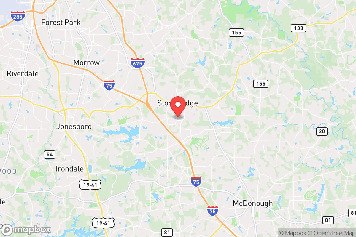
Stockbridge, Georgia, sits in a precarious but potentially workable position for those prioritizing resilience and strategic relocation. Located roughly 20 miles southeast of downtown Atlanta, it offers proximity to regional resources while maintaining enough distance from the city's core to avoid the worst of urban collapse scenarios. However, its location within the Atlanta metropolitan area and near key transportation corridors introduces significant vulnerabilities that any serious prepper must weigh carefully.
Geographic position and natural advantages for long-term stability
Stockbridge's position in Henry County places it on the southern edge of the Piedmont region, where rolling hills and clay soils dominate. The area benefits from a temperate climate with four distinct seasons, which supports year-round gardening and livestock management if you have the land. Average annual rainfall hovers around 50 inches, making water catchment a viable option for those who invest in proper systems. The proximity to the South River and several smaller creeks provides surface water sources, though these require filtration and testing due to agricultural runoff and upstream development. The region's elevation—roughly 800 feet above sea level—offers some protection against storm surges and flooding common in coastal areas, though localized flash flooding remains a concern during heavy rains. For a relocator, the natural advantages here are modest but real: decent growing seasons, accessible water, and a climate that doesn't push extremes in either direction. The land is not defensible in a tactical sense—no mountains, no dense forests—but the rolling terrain does offer some concealment and line-of-sight challenges for anyone approaching from a distance.
Risks, exposures, and proximity to fallout-relevant landmarks
The single greatest vulnerability for Stockbridge is its location within the Atlanta metropolitan area, which has a population exceeding 6 million. In a major civil unrest scenario, this density creates a massive human wave that could push outward along I-75, I-85, and I-675—all of which pass within a few miles of Stockbridge. The city sits directly in the path of any exodus from Atlanta's south side, and the lack of natural barriers means that a determined crowd or organized group could reach Stockbridge within an hour. Additionally, the area hosts several high-value targets that could become fallout-relevant in a conflict or terrorist event. Hartsfield-Jackson Atlanta International Airport, the world's busiest, is just 15 miles northwest—a prime target for any adversary. The nearby Fort Gillem and the former Atlanta Army Depot, while partially decommissioned, still contain infrastructure that could attract attention. The Norfolk Southern rail yard and multiple fuel pipelines running through the region add to the risk profile. In a worst-case scenario involving a nuclear detonation or large-scale conventional attack on Atlanta, Stockbridge would be within the moderate fallout zone depending on wind patterns. The prevailing winds from the west-northwest mean that fallout from an Atlanta strike would likely drift east-southeast, putting Stockbridge in a dangerous downwind position. For the serious prepper, this is a hard negative that cannot be ignored.
Practical resilience for a relocator: food, water, energy, and defensibility
Stockbridge offers a mixed bag for practical self-sufficiency. The area is still semi-rural in parts, with many homes sitting on half-acre to two-acre lots that allow for substantial gardening and small livestock like chickens or rabbits. The local soil is clay-heavy and requires amendment—raised beds and composting are almost mandatory for serious food production. Water is accessible through municipal systems, but a well is the better bet for resilience. Many properties in the outlying areas have private wells, though drilling depths typically run 200-400 feet, and the water quality varies due to iron and manganese content. Rainwater collection is legal in Georgia, but the state has no strong incentives or rebates, so it's an out-of-pocket investment. Energy reliability is a concern. Georgia Power's grid has shown vulnerability during ice storms and summer heat waves, with outages lasting 12-48 hours in recent years. Solar with battery backup is a solid option here—the region averages 215 sunny days per year, slightly above the national average. Defensibility is the weak point. Stockbridge is flat to gently rolling, with no high ground or natural chokepoints. The suburban layout with cul-de-sacs and winding roads actually aids perimeter defense for individual neighborhoods, but the lack of a central defensible position means that a determined group could isolate and bypass any single strongpoint. For a single individual or family, the best approach is to secure a property on a dead-end road with good visibility and limited access points. The local law enforcement presence is adequate for normal times, but in a SHTF scenario, Henry County Sheriff's Office would be stretched thin covering 325 square miles.
The overall strategic picture for Stockbridge is one of calculated risk. It offers a middle ground between complete rural isolation and urban vulnerability, with enough land and resources to support a modest prepping lifestyle. The proximity to Atlanta is a double-edged sword—it provides access to medical facilities, supply chains, and a larger community of like-minded individuals, but it also places you in the shadow of a major target. For the conservative-leaning relocator who values community and wants to stay within striking distance of the city's economic opportunities while maintaining a prepared household, Stockbridge can work—but only if you accept the risks and invest seriously in water, energy, and perimeter security. If your threat model includes a full societal collapse or a major attack on Atlanta, you would be better served looking further south toward Macon or west toward the Alabama line. Stockbridge is a hedge, not a fortress. It's for the prepper who wants to be ready for Tuesday, not just Doomsday.
* Values derived from national, state, county, city and local statistics and may differ in a specific area. Last updated: 2026-04-29T23:24:04.000Z
Narrative content on this page is AI-generated and may contain mistakes. Verify any details that matter before acting on them.
ReloMaps may earn a commission from affiliate links at no extra cost to you.