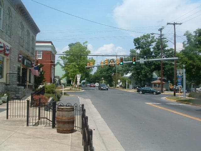
Photo: Wikipedia
Strategic Assessment of Stephens City, VA
Meaningful friction. Expect exposure to either population pressure, blast zones, or natural disaster risk. Consider buying a retreat property.
What does the Strategic Assessment tell us?
Our Strategic Assessment grades tactical survivability of an area. Major population centers, military targets, fallout zones, natural disasters, and border exposure all drive risk — lower exposure means a more defensible position in a crisis.
This is heavily inspired by Joel Skousen's Strategic Relocation book. Highly recommended you checkout the book ($)What does this tell us?
Our Strategic Assessment grades tactical survivability of an area. Major population centers, military targets, fallout zones, natural disasters, and border exposure all drive risk — lower exposure means a more defensible position in a crisis.
This is heavily inspired by Joel Skousen's Strategic Relocation book. Highly recommended you checkout the book ($)Strategic Pillars

Key Distances
Regional Safe Places
Below is our recommended "safe zones" in Virginia and the surrounding area based on our strategic heuristics. For most people, it's unrealistic to live in a “safe zone” full-time due to work, family or other personal reasons. They tend to be more rural. However, many of these areas are perfect for second homes and retreat properties that double as a vacation home or even a short-term rental.




Important Note: For informational purposes only. This does not mean nothing bad ever happens in the green zones. Please use common sense. This is based on public data and modeled with AI. We tried to take a conservative approach but mistakes happen. We update this regularly as new information becomes available.
Solar Generator Recommendations
Backup power matters more here than in safer locations. We've picked three solar generators across budgets and capacity tiers — start with the budget unit if you only need a few essentials, or step up if you want to run a fridge and HVAC for days at a time.

Jackery Portable Power Station Explorer 300
Budget OptionPower on the Go: Weighing only 11 lbs, it's convenient to set up and store with book-sized foldable solar panels

BLUETTI Portable Power Station AC180
Designed for both indoor and outdoor scenarios, AC180 is highly capable as it has a robost capacity and continuous output power.

EF ECOFLOW DELTA Pro Ultra Power Station
Upgraded PickEcoFlow DELTA Pro Ultra is a whole-home energy system designed to grow with your family. Integrated with the Smart Home Panel 2, it scales to meet your evolving energy needs — keeping your home powered, intelligent, and secure through every stage of life.
We earn a commission, at no additional cost to you.
Strategic Assessment Analysis
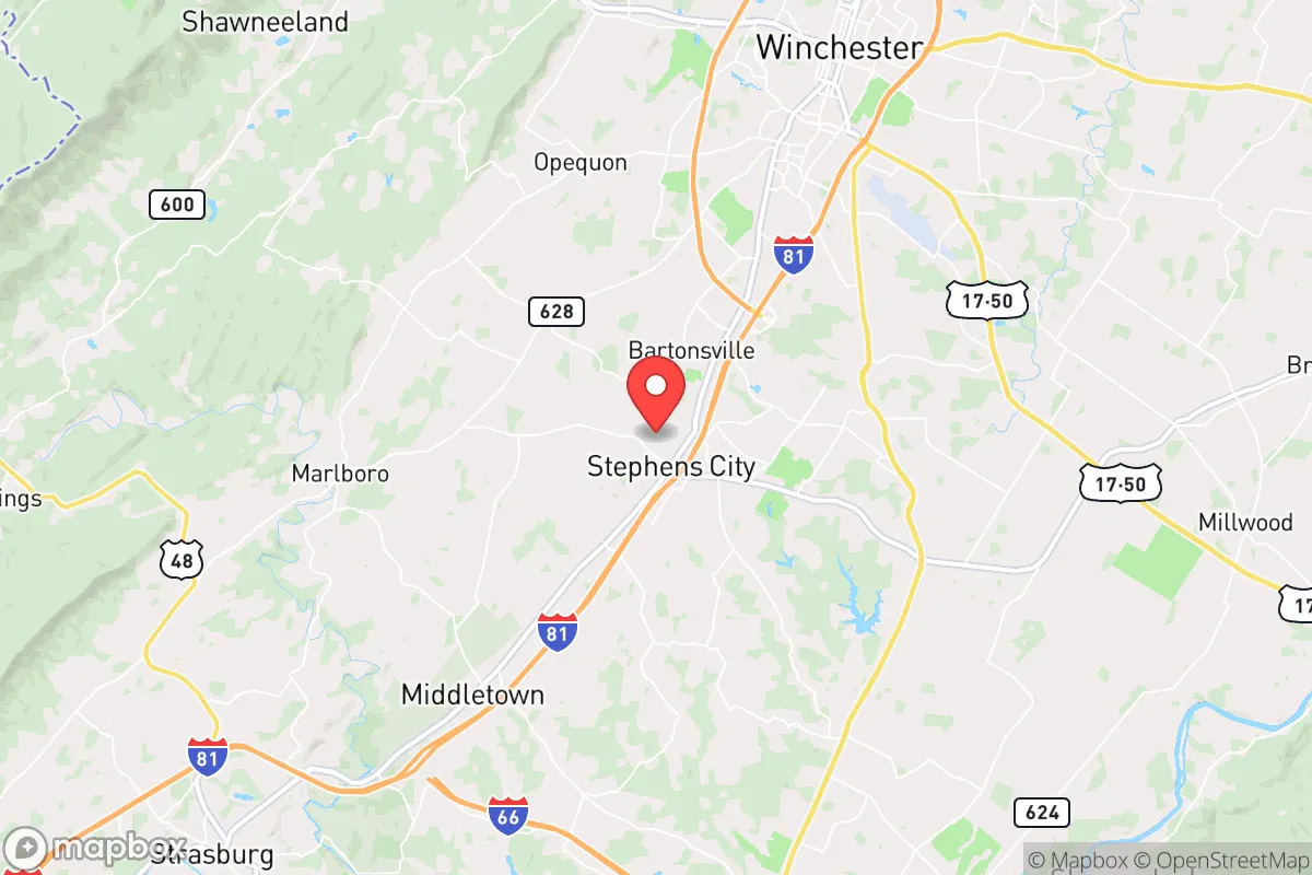
Stephens City, Virginia, occupies a strategic position in the northern Shenandoah Valley that offers a compelling blend of accessibility and buffer for those prioritizing disaster readiness and self-sufficiency. Its location along the I-81 corridor, roughly 75 miles west of Washington, D.C., and 10 miles south of Winchester, provides a meaningful distance from major metropolitan centers while still allowing for practical supply runs and economic connection. The town’s resilience profile is shaped by its geography, its exposure to both natural and man-made risks, and the practical infrastructure available to a relocator serious about preparedness.
Geographic position and natural advantages for self-sufficiency
Stephens City sits in the heart of the Shenandoah Valley, a region defined by the Blue Ridge Mountains to the east and the Allegheny Mountains to the west. This valley corridor is a natural funnel for weather systems, but it also provides a degree of topographic shielding. The town itself lies at an elevation of roughly 750 feet, well above the floodplains of nearby Opequon Creek and the Shenandoah River, reducing the risk of catastrophic flooding that can plague lower-lying areas. The surrounding agricultural land is some of the most productive in Virginia, with extensive orchards, grain fields, and livestock operations within a 10-mile radius. For a relocator focused on food security, this means local sourcing is viable even in a disrupted supply chain—farmers’ markets, CSAs, and direct-from-farm purchases are common. The area’s limestone-based soils also support excellent groundwater recharge, and many rural properties in Frederick County have access to private wells, a critical advantage over municipal systems that can fail during grid outages or contamination events.
Risks, exposures, and proximity to fallout-relevant landmarks
The most significant risk for Stephens City is its position relative to man-made threats, not natural disasters. The town is approximately 75 miles from the nation’s capital, placing it within the fallout plume zone for a hypothetical nuclear event targeting Washington, D.C., depending on wind patterns. Prevailing winds in the region are from the west and northwest, which would carry fallout away from the valley in many scenarios, but a shift to easterly winds—common during coastal storms—could push contamination up the I-81 corridor. Additionally, the town lies about 30 miles from the Blue Ridge Tunnel and other critical transportation infrastructure that could be targeted in a conflict. On the natural disaster front, the area is low-risk for hurricanes (the mountains break up storm systems), tornadoes (the valley’s topography disrupts rotation), and earthquakes (the region is seismically quiet). The primary natural hazard is winter storms, which can drop 20-30 inches of snow annually and occasionally cause multi-day power outages. Wildfire risk is moderate, concentrated in the forested slopes of the Blue Ridge, but the valley floor itself is predominantly cleared farmland, offering natural firebreaks. For a relocator, the key takeaway is that Stephens City’s biggest vulnerability is its proximity to high-value targets in the D.C. metro area, not local environmental hazards.
Practical resilience for a relocator: food, water, energy, and defensibility
For someone serious about self-sufficiency, Stephens City offers a strong baseline that requires deliberate enhancement. Food security is the area’s standout advantage: the surrounding county (Frederick) is a top-10 agricultural producer in Virginia, with over 1,200 farms. A relocator can realistically source bulk grains, livestock feed, and fresh produce within a 15-minute drive. The town itself has a small grocery store (Food Lion) and a Walmart Supercenter in nearby Winchester, but for long-term resilience, establishing a home garden and root cellar is practical given the 180-day growing season. Water security is excellent for those on private wells—the average well depth in the area is 150-300 feet, tapping into the carbonate aquifer that yields 10-50 gallons per minute. Municipal water users in town draw from the Opequon Creek watershed, which is vulnerable to contamination from agricultural runoff or a chemical spill on I-81. A backup well or rainwater catchment system is advisable. Energy resilience is a mixed picture: the local utility, Shenandoah Valley Electric Cooperative, has a history of storm-related outages (average 2-3 per year, lasting 4-12 hours). Solar potential is good—the region averages 4.5 peak sun hours per day—and net metering is available, though installation costs remain a barrier. Propane is widely used for heating and cooking, and bulk delivery is reliable. Defensibility is moderate: the town’s layout is a traditional grid along the old Valley Pike (US-11), with limited natural chokepoints. Rural properties on the outskirts offer better security through distance and terrain—many have long driveways, wooded buffers, and clear sightlines. The local sheriff’s office (Frederick County) is well-funded and responsive, with a response time of 10-15 minutes in the town and 20-30 minutes in outlying areas. For a relocator, the practical recommendation is to prioritize a property with a private well, southern exposure for solar, and at least 5 acres of defensible space.
The overall strategic picture for Stephens City is one of a solid, middle-ground option for the disaster-conscious relocator. It avoids the extreme risks of coastal or urban locations while offering genuine agricultural advantages that support long-term self-sufficiency. The primary trade-off is proximity to the D.C. metro area—close enough to be a concern in a major conflict, but far enough that a well-prepared household can mitigate most scenarios. For a single individual or family willing to invest in off-grid water and power systems, and who accepts the moderate risk of fallout exposure, Stephens City provides a defensible, resource-rich base in a historically stable region. It is not a remote bunker location, but it is a practical, livable choice for those who want to balance preparedness with access to community and commerce.

* Values derived from national, state, county, city and local statistics and may differ in a specific area. Last updated: 2026-08-24T01:49:08.000Z
Narrative content on this page is AI-generated and may contain mistakes. Verify any details that matter before acting on them.
ReloMaps may earn a commission from affiliate links at no extra cost to you.

