
Photo: Wikipedia
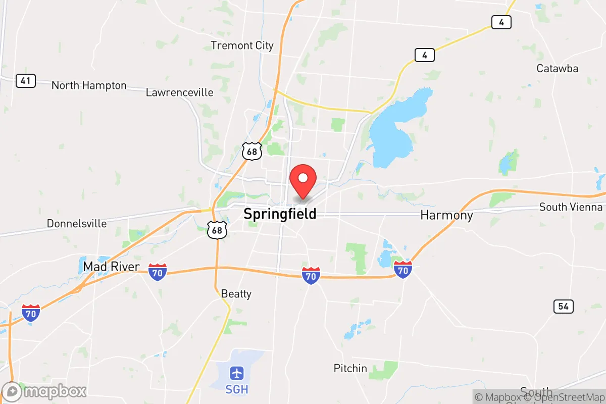
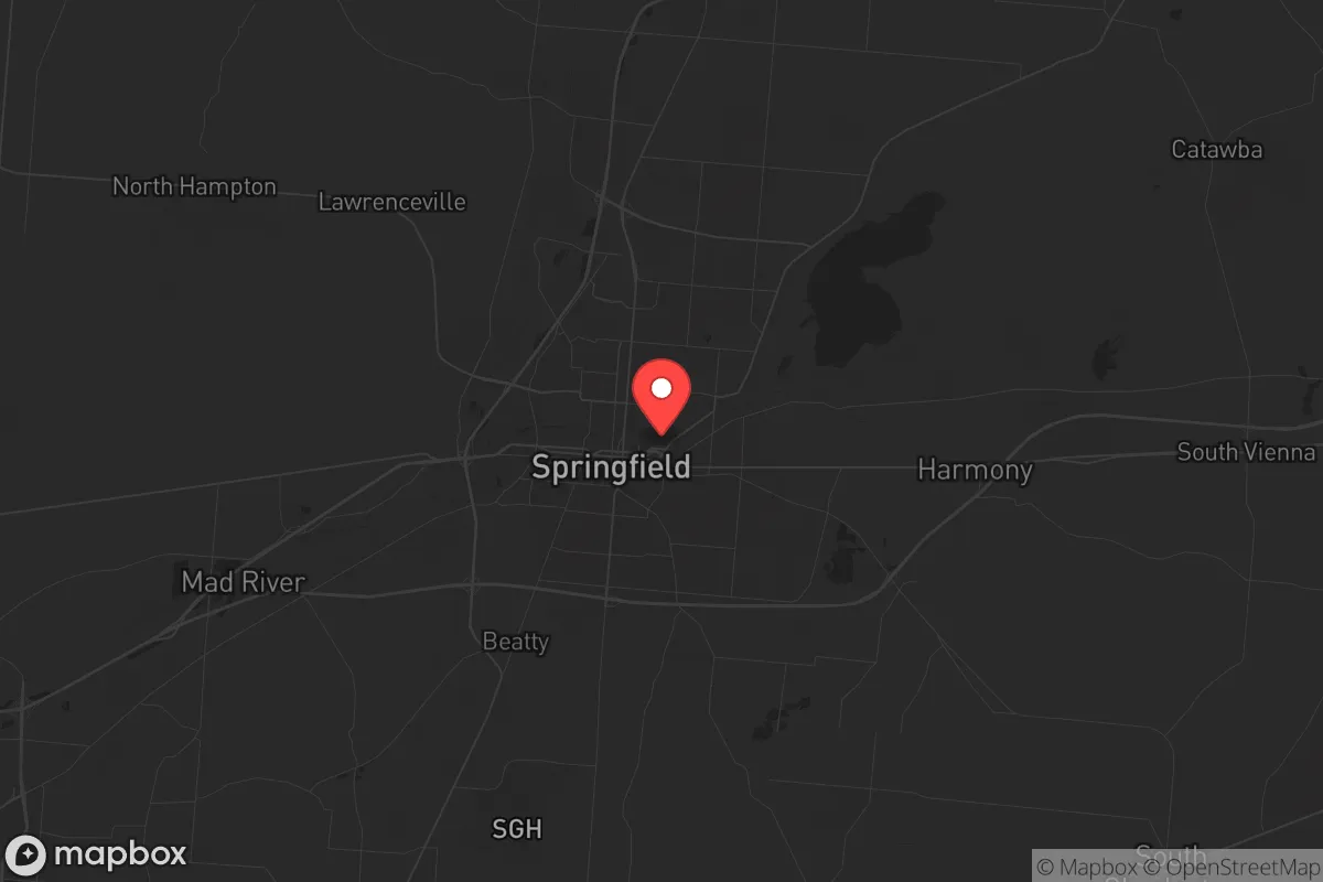
Strategic Assessment of Springfield, OH
Meaningful friction. Expect exposure to either population pressure, blast zones, or natural disaster risk. Consider buying a retreat property.
What does the Strategic Assessment tell us?
Our Strategic Assessment grades tactical survivability of an area. Major population centers, military targets, fallout zones, natural disasters, and border exposure all drive risk — lower exposure means a more defensible position in a crisis.
This is heavily inspired by Joel Skousen's Strategic Relocation book. Highly recommended you checkout the book ($)What does this tell us?
Our Strategic Assessment grades tactical survivability of an area. Major population centers, military targets, fallout zones, natural disasters, and border exposure all drive risk — lower exposure means a more defensible position in a crisis.
This is heavily inspired by Joel Skousen's Strategic Relocation book. Highly recommended you checkout the book ($)Strategic Pillars

Key Distances
Regional Safe Places
Below is our recommended "safe zones" in Ohio and the surrounding area based on our strategic heuristics. For most people, it's unrealistic to live in a “safe zone” full-time due to work, family or other personal reasons. They tend to be more rural. However, many of these areas are perfect for second homes and retreat properties that double as a vacation home or even a short-term rental.

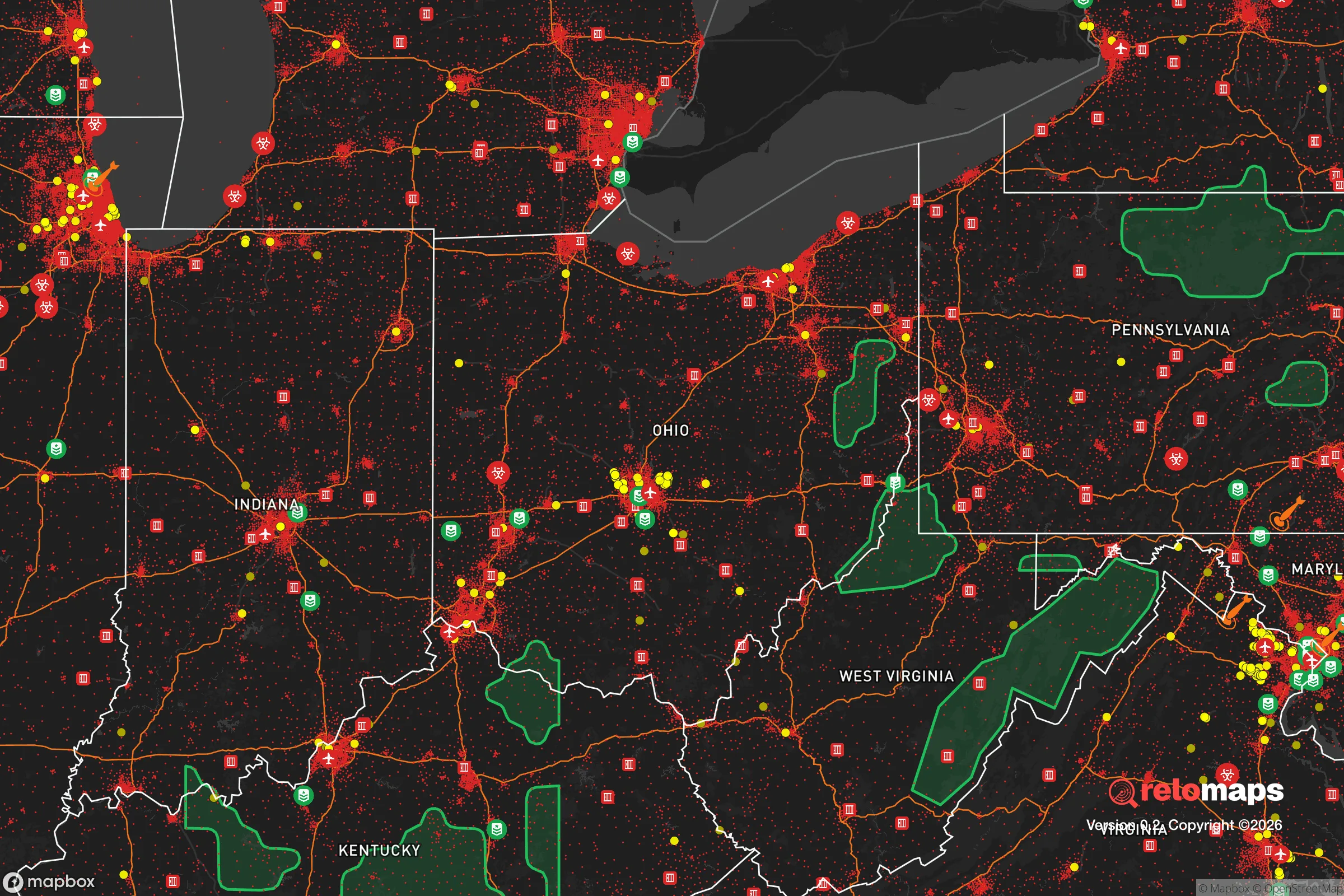
Important Note: For informational purposes only. This does not mean nothing bad ever happens in the green zones. Please use common sense. This is based on public data and modeled with AI. We tried to take a conservative approach but mistakes happen. We update this regularly as new information becomes available.
Solar Generator Recommendations
Backup power matters more here than in safer locations. We've picked three solar generators across budgets and capacity tiers — start with the budget unit if you only need a few essentials, or step up if you want to run a fridge and HVAC for days at a time.

Jackery Portable Power Station Explorer 300
Budget OptionPower on the Go: Weighing only 11 lbs, it's convenient to set up and store with book-sized foldable solar panels

BLUETTI Portable Power Station AC180
Designed for both indoor and outdoor scenarios, AC180 is highly capable as it has a robost capacity and continuous output power.

EF ECOFLOW DELTA Pro Ultra Power Station
Upgraded PickEcoFlow DELTA Pro Ultra is a whole-home energy system designed to grow with your family. Integrated with the Smart Home Panel 2, it scales to meet your evolving energy needs — keeping your home powered, intelligent, and secure through every stage of life.
We earn a commission, at no additional cost to you.
Strategic Assessment Analysis
Springfield, Ohio, offers a surprisingly resilient strategic position for those prioritizing self-reliance and distance from major metropolitan fallout zones, while still retaining access to critical supply chains and infrastructure. Located roughly 45 miles west of Columbus and 25 miles northeast of Dayton, it sits in a sweet spot—close enough to tap into regional resources but far enough to avoid the immediate chaos of a major city collapse. The city’s industrial past, including a historic manufacturing base and a robust logistics network along I-70 and US-40, provides a foundation for post-disaster economic activity that many purely rural areas lack. For the conservative prepper, Springfield represents a middle-ground option: not a remote bunker, but a defensible, resource-rich hub with a population that still values hard work and community.
Geographic position and natural advantages for long-term survival
Springfield’s location in west-central Ohio places it within the fertile Miami Valley, giving relocators access to some of the most productive agricultural land in the Midwest. The surrounding Clark County is dotted with small farms, and the Mad River and Buck Creek provide reliable freshwater sources—critical for any long-term self-sufficiency plan. The terrain is gently rolling, offering natural drainage and defensible high ground in the eastern parts of the county, while the flat western stretches are ideal for large-scale gardening or livestock grazing. Unlike areas closer to Lake Erie or the Ohio River, Springfield is less exposed to flooding risks from major waterways, though localized flash flooding can occur. The region’s four-season climate supports year-round food production with proper planning, and the absence of extreme wildfire or hurricane threats reduces the need for constant evacuation readiness. For the strategic relocator, this means you can invest in permanent infrastructure—root cellars, rainwater catchment, solar arrays—without worrying about annual natural disasters wiping them out.
Risks, exposures, and proximity to fallout-relevant landmarks
The primary strategic drawback of Springfield is its proximity to several high-value targets that could become fallout zones during a major conflict or terrorist event. Wright-Patterson Air Force Base, located just 30 miles southeast near Dayton, is a major Air Force logistics and research hub—a likely target in any large-scale conflict. The Honda manufacturing complex in nearby Marysville and the sprawling Rickenbacker International Airport cargo hub south of Columbus are also within a 45-minute drive, making the region a potential secondary fallout zone from strikes on those facilities. Springfield itself has no major military installations, but it sits within the blast-radius shadow of these assets. Additionally, I-70 is a primary east-west evacuation and military logistics corridor, meaning the city could see heavy traffic and potential checkpoints during a crisis. For the prepper, this means you need a plan for both sheltering in place during the first 72 hours and a secondary bug-out route east toward the less-populated Appalachian foothills. The good news is that prevailing winds in Ohio generally move west to east, so fallout from a strike on Wright-Patterson would likely drift away from Springfield, but you should still invest in a quality Geiger counter and a basement shelter with HEPA filtration.
Practical resilience for a relocator: food, water, energy, and defensibility
Springfield’s practical resilience hinges on its mix of rural accessibility and small-city infrastructure. The city’s water supply comes from the Mad River aquifer, which is generally reliable but could be compromised by industrial contamination or grid failure—so a deep well on your property or a rainwater catchment system is non-negotiable. The local power grid is served by Dayton Power & Light, which has a mixed reliability record; winter ice storms have caused multi-day outages in recent years, making a backup generator or solar-plus-battery system a wise investment. Food security is strong: the Clark County Fairgrounds hosts regular livestock auctions, and there are multiple Amish and Mennonite communities within a 20-mile radius that sell bulk grains, seeds, and tools. Foraging opportunities include wild morel mushrooms in spring and black walnuts in fall, but don’t rely on them as a primary source. Defensibility is moderate—Springfield’s older neighborhoods feature brick homes with basements and narrow streets that can be barricaded, but the city’s grid layout and flat terrain make it harder to defend than a hilltop rural property. A better strategy is to buy a few acres on the eastern edge of the county, near the Clark-Greene county line, where you get wooded cover and elevation without being completely isolated from supply runs. The local gun culture is strong but not extreme; there are several gun shops and ranges, and Clark County is generally shall-issue for concealed carry, with no major local restrictions to worry about.
Overall, Springfield presents a viable strategic relocation option for the conservative prepper who wants to stay within a day’s drive of Midwest supply chains while avoiding the immediate blast zones of major cities. The trade-off is clear: you gain agricultural self-sufficiency and a lower cost of living (median home prices around $150,000 as of 2025) but accept proximity to military and industrial targets that could become fallout hazards. The key is to treat Springfield as a base of operations, not a final redoubt—invest in a well-stocked rural property within 30 minutes of the city, build relationships with local farmers and machinists, and maintain a vehicle capable of navigating back roads if I-70 becomes impassable. For the single individual or family willing to put in the work, this area offers a realistic balance of community, resources, and strategic depth that many more remote locations simply cannot match.
* Values derived from national, state, county, city and local statistics and may differ in a specific area. Last updated: 2026-04-21T19:28:11.000Z
Narrative content on this page is AI-generated and may contain mistakes. Verify any details that matter before acting on them.
ReloMaps may earn a commission from affiliate links at no extra cost to you.