Photo: Wikipedia
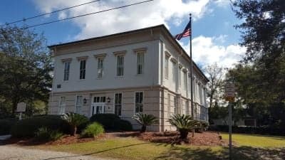
Strategic Assessment of Berkeley County
Meaningful friction. Expect exposure to either population pressure, blast zones, or natural disaster risk. Consider buying a retreat property.
What does the Strategic Assessment tell us?
Our Strategic Assessment grades tactical survivability of an area. Major population centers, military targets, fallout zones, natural disasters, and border exposure all drive risk — lower exposure means a more defensible position in a crisis.
This is heavily inspired by Joel Skousen's Strategic Relocation book. Highly recommended you checkout the book ($)What does this tell us?
Our Strategic Assessment grades tactical survivability of an area. Major population centers, military targets, fallout zones, natural disasters, and border exposure all drive risk — lower exposure means a more defensible position in a crisis.
This is heavily inspired by Joel Skousen's Strategic Relocation book. Highly recommended you checkout the book ($)Strategic Pillars

Key Distances
Strategic Assessment Analysis
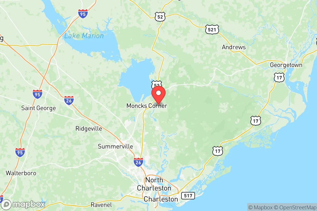
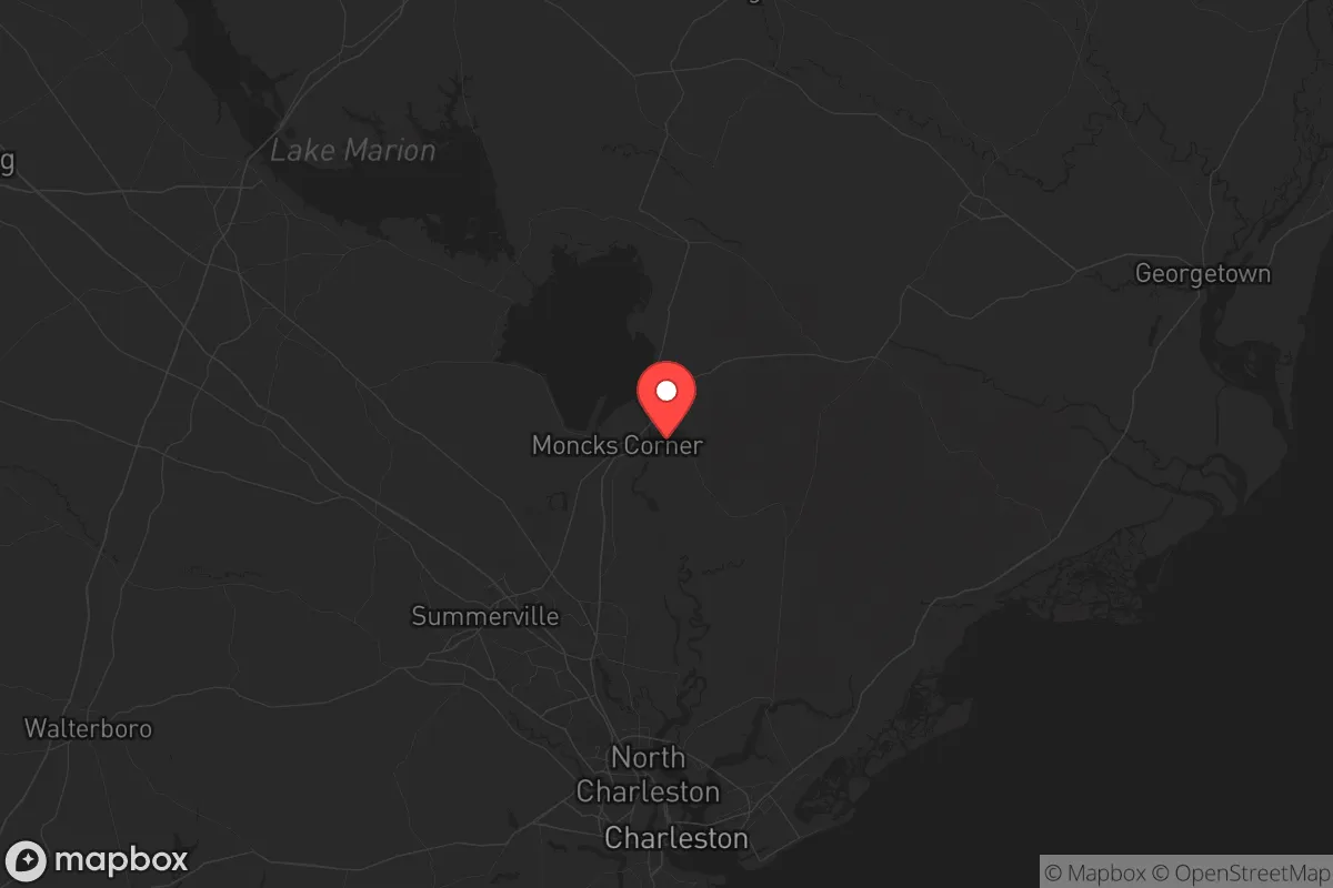
Berkeley County, South Carolina, sits in a sweet spot that few relocators fully appreciate: close enough to the coast to tap into economic arteries, yet far enough inland to dodge the worst of a hurricane surge. Its resilience profile is a mixed bag—strong natural buffers and a conservative, gun-friendly culture are offset by proximity to high-value military infrastructure and a major port. For a prepper or survivalist weighing long-term stability against exposure risks, Berkeley County demands a careful, site-specific approach. The county seat, Moncks Corner, anchors a region where you can still find rural acreage, but you need to understand exactly what you're buying into before you commit.
Geographic position and natural buffers: why Berkeley County sits at a strategic crossroads
Berkeley County straddles the fall line between the coastal plain and the inland sandhills, giving it a mix of swampy lowlands, pine forests, and elevated ridges. The Francis Marion National Forest covers a huge swath of the eastern part of the county—over 250,000 acres of managed timberland that offers both a natural buffer and a potential retreat zone. To the west, Lake Moultrie and the Santee Cooper lakes system provide a massive freshwater reservoir that could sustain a community through a prolonged grid-down scenario. The Cooper River itself runs from the lake down to Charleston, but the county's interior is laced with creeks, blackwater swamps, and hardwood bottoms that make overland travel difficult for anyone unfamiliar with the terrain. That's a defensive advantage. Towns like Huger, Pineville, and St. Stephen are sparsely populated, with dirt roads and limited cell service—places where a prepared family could lay low. Meanwhile, the I-26 corridor cuts through the northern part of the county, giving quick access to Columbia (about 90 minutes) and the rest of the Upstate. You're not completely isolated, but you're not sitting on top of a major urban center either.
Risks, exposures, and proximity to high-value targets: what to watch for
The biggest red flag for a prepper in Berkeley County is Joint Base Charleston, which includes the Naval Weapons Station in Goose Creek and Hanahan. That facility stores and handles conventional and nuclear-capable munitions—it's a Tier 1 target in any major conflict. A direct hit or even a secondary explosion could turn a large chunk of the county into a no-go zone. The Port of Charleston, just downstream on the Cooper River, is another high-value economic and military asset; a few miles south of the county line. If you're looking at property in Goose Creek or Hanahan, you're essentially living next to a bullseye. Further inland, the V.C. Summer Nuclear Station in Fairfield County is about 50 miles northwest—close enough that a catastrophic failure could affect windborne fallout patterns depending on weather. Hurricane risk is real: while Berkeley County is 30–40 miles inland, storm surge doesn't reach here, but wind damage and prolonged power outages from a Cat 3+ storm are likely. The 2015 historic floods and Hurricane Florence in 2018 demonstrated that even inland areas can get hammered by rain and river flooding. And don't forget the human factor: Charleston's population has exploded, and with it comes the potential for civil unrest spilling into the suburbs. Moncks Corner itself is growing fast, but the rural pockets are still quiet—for now—that could change.
Practical resilience for a relocator: food, water, energy, and defensibility
Water is Berkeley County's strongest asset. Lake Moultrie and the Cooper River provide a reliable surface water source that's less susceptible to drought than many parts of the Southeast. The Santee Cooper system also generates electricity—coal, gas, and nuclear—so the grid here is relatively robust, though it's still vulnerable to hurricane damage. For off-grid energy, the region gets decent solar insolation, and the forested areas offer plenty of biomass for heating. Food-wise, the county has active farmland—row crops, poultry, and some cattle—especially around the St. Stephen and Bonneau areas. Hunting is excellent in the Francis Marion National Forest: deer, turkey, hog, and small game. Fishing in the lakes and rivers is productive year-round. The local gun culture is strong, with multiple gun clubs and ranges, and South Carolina's constitutional carry law means you can defend your property without bureaucratic hurdles. Defensibility varies by location. The swampy terrain around Huger and the forested tracts near Jamestown offer natural chokepoints and limited road access. But avoid low-lying floodplains near the Cooper River—those areas are prone to flooding and offer no defensible high ground. A good parcel would be on elevated sandy soil with a well, septic, and a clear line of sight to approach roads. The county's zoning is generally lax, so building a root cellar, greenhouse, or even a small bunker is feasible without much red tape.
Overall, Berkeley County presents a workable but not ideal strategic picture for the conservative prepper. The natural water supply, forest buffer, and rural pockets are genuine advantages. But the presence of Joint Base Charleston and the Port of Charleston are serious liabilities that you cannot ignore. If you choose a property well away from the Goose Creek/Hanahan corridor—say, north of Moncks Corner or east toward the Francis Marion—you can mitigate much of the target risk while still having access to the region's resources. The hurricane threat is manageable with proper construction and supplies. The biggest wildcard is growth: Charleston's sprawl is pushing north, and land prices are rising. If you're serious about relocating here, buy now, buy rural, and build with self-sufficiency in mind. Berkeley County isn't a fortress, but it's a solid base camp if you know where to dig in.
* Values derived from national, state, county, city and local statistics and may differ in a specific area. Last updated: 2026-05-18T15:27:55.000Z
Narrative content on this page is AI-generated and may contain mistakes. Verify any details that matter before acting on them.
ReloMaps may earn a commission from affiliate links at no extra cost to you.