Photo: Wikipedia
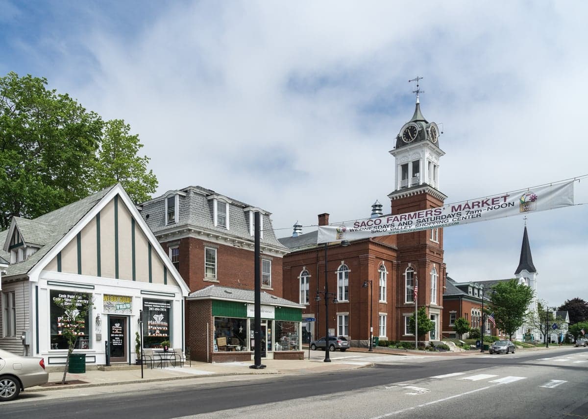
Strategic Assessment of Saco, ME
Multiple tactical vulnerabilities. Population density, target proximity, or disaster risk are likely compounding. A retreat property and exit planning is required.
What does the Strategic Assessment tell us?
Our Strategic Assessment grades tactical survivability of an area. Major population centers, military targets, fallout zones, natural disasters, and border exposure all drive risk — lower exposure means a more defensible position in a crisis.
This is heavily inspired by Joel Skousen's Strategic Relocation book. Highly recommended you checkout the book ($)What does this tell us?
Our Strategic Assessment grades tactical survivability of an area. Major population centers, military targets, fallout zones, natural disasters, and border exposure all drive risk — lower exposure means a more defensible position in a crisis.
This is heavily inspired by Joel Skousen's Strategic Relocation book. Highly recommended you checkout the book ($)Strategic Pillars

Key Distances
Regional Safe Places
Below is our recommended "safe zones" in Maine and the surrounding area based on our strategic heuristics. For most people, it's unrealistic to live in a “safe zone” full-time due to work, family or other personal reasons. They tend to be more rural. However, many of these areas are perfect for second homes and retreat properties that double as a vacation home or even a short-term rental.


Important Note: For informational purposes only. This does not mean nothing bad ever happens in the green zones. Please use common sense. This is based on public data and modeled with AI. We tried to take a conservative approach but mistakes happen. We update this regularly as new information becomes available.
Solar Generator Recommendations
Backup power matters more here than in safer locations. We've picked three solar generators across budgets and capacity tiers — start with the budget unit if you only need a few essentials, or step up if you want to run a fridge and HVAC for days at a time.

Jackery Portable Power Station Explorer 300
Budget OptionPower on the Go: Weighing only 11 lbs, it's convenient to set up and store with book-sized foldable solar panels

BLUETTI Portable Power Station AC180
Designed for both indoor and outdoor scenarios, AC180 is highly capable as it has a robost capacity and continuous output power.

EF ECOFLOW DELTA Pro Ultra Power Station
Upgraded PickEcoFlow DELTA Pro Ultra is a whole-home energy system designed to grow with your family. Integrated with the Smart Home Panel 2, it scales to meet your evolving energy needs — keeping your home powered, intelligent, and secure through every stage of life.
We earn a commission, at no additional cost to you.
Strategic Assessment Analysis
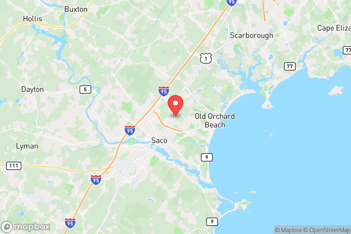
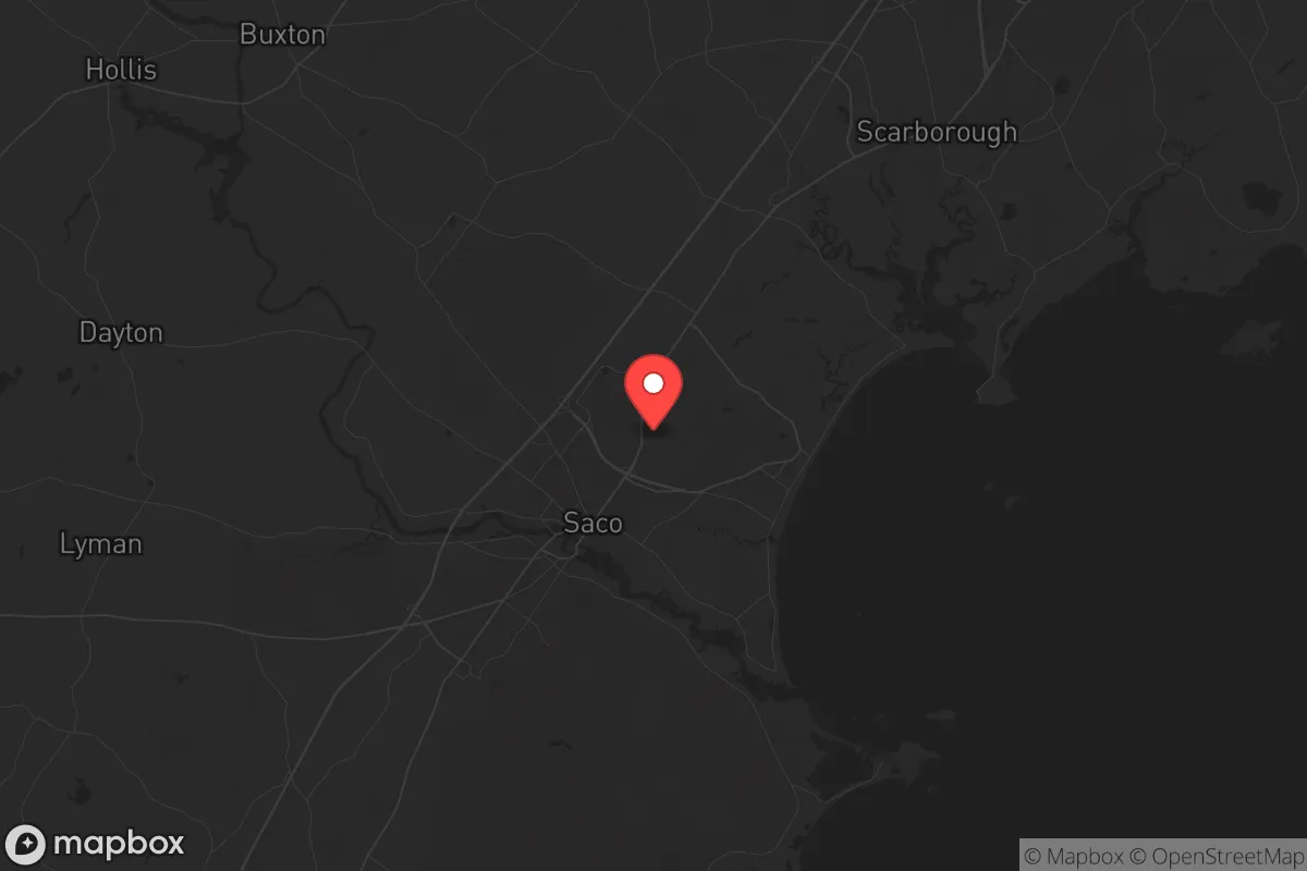
Saco, Maine, offers a surprisingly resilient position for those thinking seriously about long-term stability and preparedness. It sits far enough from the major population centers of the Northeast to avoid the worst of any cascading collapse, yet it’s close enough to access critical resources and infrastructure if things hold together. The city’s location along the Saco River and its proximity to the Atlantic provide natural advantages for water, food, and energy independence, while its distance from high-value military and industrial targets makes it a lower-priority zone in a major crisis. For a relocator with a prepper mindset, Saco is not a fortress, but it is a defensible, resource-rich anchor in a region that could remain functional when coastal cities like Boston or Portland become untenable.
Geographic position and natural advantages for long-term stability
Saco’s geography is its strongest card. The city sits on the southern coast of Maine, roughly 20 miles south of Portland and 90 miles north of Boston. That distance is critical: it places Saco outside the immediate blast radius or fallout plume of any major strike on Boston’s port or Logan Airport, and it’s far enough from Portland’s naval and commercial shipping infrastructure to avoid the worst secondary effects. The Saco River runs directly through the city, providing a reliable freshwater source that can be tapped for drinking, irrigation, and even small-scale hydroelectric generation if you have the right setup. The surrounding landscape is a mix of forest, farmland, and tidal marsh, which means game, forage, and fertile soil are within a short walk or drive. The climate is cold and wet for much of the year, which reduces the risk of wildfire and slows the spread of many vector-borne diseases. Winters are harsh, but that same cold acts as a natural barrier to unprepared migration from the south. The city’s elevation is low—mostly under 100 feet—but the terrain rises quickly inland, offering defensible high ground within a 15-minute drive. For a survivalist, the key takeaway is that Saco has water, wood, and a buffer zone that most suburban areas lack entirely.
Risks, exposures, and proximity to fallout-relevant landmarks
No location is perfect, and Saco has real vulnerabilities. The most obvious is its proximity to the Portsmouth Naval Shipyard, located just across the Piscataqua River in Kittery, about 15 miles south. That facility is a high-value target for any adversary, and a kinetic or electromagnetic event there could produce significant fallout, both literal and figurative. The shipyard’s dry docks and nuclear submarine maintenance work make it a Tier 1 military asset. If you’re within 20 miles of that, you’re in the danger zone for a ground burst or a major industrial accident. Saco is also within 100 miles of the Seabrook Nuclear Power Plant in New Hampshire. While the plant has a solid safety record, a catastrophic failure or a targeted attack would put Saco in the path of prevailing winds, potentially contaminating the Saco River watershed. On the plus side, Saco is not near any major oil refineries, chemical depots, or large-scale ammunition storage facilities. The city’s own industrial base is light—textiles, manufacturing, and tourism—so there’s little to attract a precision strike. The biggest risk is not a direct hit but the secondary effects of a collapse in Boston or Portland: refugees, supply chain disruption, and the breakdown of law enforcement. Saco’s population is roughly 20,000, which is manageable, but it swells with seasonal tourists in summer, creating a temporary population surge that could strain resources during a crisis. The city’s main evacuation routes—I-95 and Route 1—run north-south and can become parking lots during a panic. Anyone serious about resilience should have a secondary plan for moving inland or north, away from the coast and the shipyard.
Practical resilience for a relocator: food, water, energy, and defensibility
For a relocator looking to set up a sustainable household, Saco offers a mix of immediate access and long-term potential. The Saco River is the obvious water source, but it’s also a public resource that could be contested. A well on your own property is far more secure, and the water table in this region is generally high and clean, though you should test for saltwater intrusion near the coast. The soil is rocky but workable, and the growing season runs from May to September—short but productive for cold-hardy crops like potatoes, carrots, kale, and squash. Local farms and farmers’ markets are abundant, and the area has a strong tradition of hunting and fishing. Deer, turkey, and waterfowl are common, and the river and nearby bays offer striper, mackerel, and shellfish. For energy, the region’s wind and solar potential is moderate; winter cloud cover and snow can reduce solar output, but small-scale hydro on the Saco or its tributaries is a viable option if you have the rights and the equipment. Wood heat is the default for many locals, and the surrounding forests provide ample fuel if you have a chainsaw and a strong back. Defensibility is mixed. Saco’s layout is typical of a small New England city: a compact downtown with residential neighborhoods spreading outward. The river creates natural chokepoints at the bridges, which could be controlled, but the city is not easily fortified. The best strategy is to secure a property on the outskirts, preferably with a buffer of trees or farmland, and to build relationships with neighbors who share your mindset. The local police and fire departments are professional but small; in a prolonged crisis, you cannot rely on them. The community itself is generally self-reliant and conservative-leaning, which means you’re more likely to find like-minded people than in a coastal liberal enclave. Stockpiling is straightforward: the area has multiple grocery stores, hardware stores, and a Walmart, but supply chains are thin in winter storms, so you should have at least a three-month buffer of food, medicine, and ammunition.
The overall strategic picture for Saco is one of cautious optimism. It is not a hardened bunker or a remote mountain redoubt, but it is a functional, resource-rich area that sits at the edge of the Northeast’s chaos zone. The risks from the Portsmouth Naval Shipyard and Seabrook are real but manageable with proper planning—a good radiation detector, a basement or interior room for shelter, and a pre-planned evacuation route inland. The city’s natural advantages—water, wood, farmland, and a cold climate—give it a baseline resilience that most suburban areas cannot match. For a conservative-minded relocator who wants to be prepared for civic unrest, economic collapse, or a major disaster, Saco offers a solid foundation. It’s not the end of the world, but it’s a place where you could ride out the worst of it and still have a chance to rebuild. The key is to act now, secure your property, and build your network before the tourists and the refugees show up.
* Values derived from national, state, county, city and local statistics and may differ in a specific area. Last updated: 2026-05-02T00:21:56.000Z
Narrative content on this page is AI-generated and may contain mistakes. Verify any details that matter before acting on them.
ReloMaps may earn a commission from affiliate links at no extra cost to you.