Photo: Wikipedia
Strategic Assessment of Rolla, MO
Workable tactical position. Some exposure to population density or targets, but generally defensible in a crisis.
What does the Strategic Assessment tell us?
Our Strategic Assessment grades tactical survivability of an area. Major population centers, military targets, fallout zones, natural disasters, and border exposure all drive risk — lower exposure means a more defensible position in a crisis.
This is heavily inspired by Joel Skousen's Strategic Relocation book. Highly recommended you checkout the book ($)What does this tell us?
Our Strategic Assessment grades tactical survivability of an area. Major population centers, military targets, fallout zones, natural disasters, and border exposure all drive risk — lower exposure means a more defensible position in a crisis.
This is heavily inspired by Joel Skousen's Strategic Relocation book. Highly recommended you checkout the book ($)Strategic Pillars

Key Distances
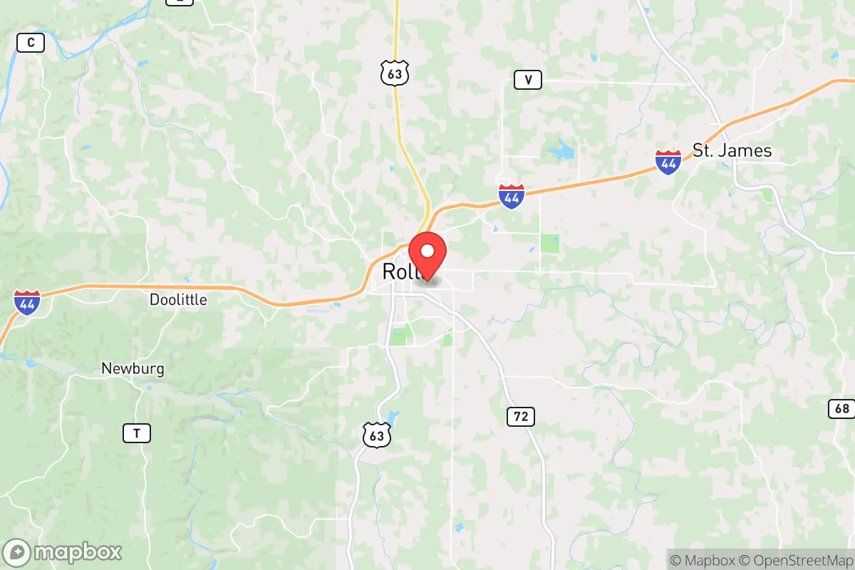
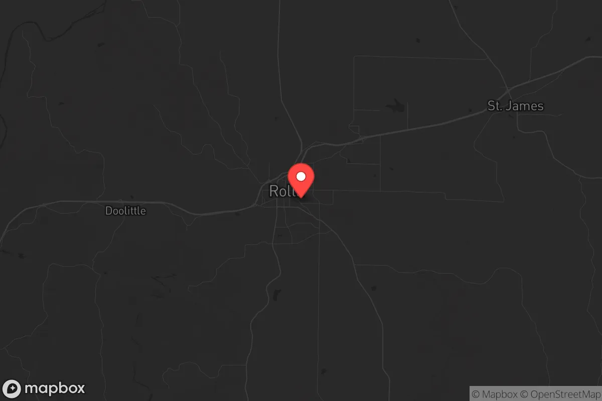
Regional Safe Places
Below is our recommended "safe zones" in Missouri and the surrounding area based on our strategic heuristics. For most people, it's unrealistic to live in a “safe zone” full-time due to work, family or other personal reasons. They tend to be more rural. However, many of these areas are perfect for second homes and retreat properties that double as a vacation home or even a short-term rental.


Important Note: For informational purposes only. This does not mean nothing bad ever happens in the green zones. Please use common sense. This is based on public data and modeled with AI. We tried to take a conservative approach but mistakes happen. We update this regularly as new information becomes available.
Solar Generator Recommendations
Backup power matters more here than in safer locations. We've picked three solar generators across budgets and capacity tiers — start with the budget unit if you only need a few essentials, or step up if you want to run a fridge and HVAC for days at a time.

Jackery Portable Power Station Explorer 300
Budget OptionPower on the Go: Weighing only 11 lbs, it's convenient to set up and store with book-sized foldable solar panels

BLUETTI Portable Power Station AC180
Designed for both indoor and outdoor scenarios, AC180 is highly capable as it has a robost capacity and continuous output power.

EF ECOFLOW DELTA Pro Ultra Power Station
Upgraded PickEcoFlow DELTA Pro Ultra is a whole-home energy system designed to grow with your family. Integrated with the Smart Home Panel 2, it scales to meet your evolving energy needs — keeping your home powered, intelligent, and secure through every stage of life.
We earn a commission, at no additional cost to you.
Strategic Assessment Analysis
Rolla, Missouri, sits at a strategic crossroads that makes it a surprisingly resilient relocation target for those prioritizing preparedness and self-sufficiency. Nestled in the Ozark foothills along I-44, roughly halfway between St. Louis and Springfield, this town of about 20,000 offers a blend of geographic isolation from major urban chaos and practical access to critical resources. For the conservative-minded individual or family looking to weather civic unrest, supply chain disruptions, or natural disasters, Rolla presents a compelling case—provided you understand its specific strengths and vulnerabilities.
Geographic position and natural advantages for long-term stability
Rolla’s location is its primary strategic asset. It sits in Phelps County, part of the Missouri Ozarks, a region characterized by rugged hills, dense forests, and abundant freshwater sources. The terrain itself offers natural defensibility: the hills and hollows create chokepoints and limited sightlines, making large-scale movement through the area difficult without local knowledge. The town is roughly 100 miles from St. Louis and 90 miles from Springfield—close enough to access major medical centers or supply hubs in a crisis, but far enough that the worst urban unrest, looting, or disease spread would likely not reach here quickly. The I-44 corridor provides a reliable evacuation route west toward the less populated plains or east toward the Mississippi, but it’s also a potential vector for trouble. The key is that Rolla is not a primary target; it lacks the symbolic or economic weight of a state capital or major military installation. The nearby Mark Twain National Forest and numerous state parks offer additional buffer zones and potential retreat areas if things go truly sideways.
Risks, exposures, and proximity to fallout-relevant landmarks
No location is without risk, and Rolla has a few that a prepper must account for. The most obvious is the Fort Leonard Wood military installation, located about 30 miles south. While this base is a major employer and brings some economic stability, it also makes the area a potential secondary target in a conflict scenario. In the event of a national emergency, expect heavy military traffic, potential roadblocks, and a surge of personnel and equipment moving through the region. Rolla itself is not a primary target, but its proximity to a major Army training center means you could see fallout—both literal and figurative—from any action involving the base. Additionally, Rolla is home to the Missouri University of Science and Technology (Missouri S&T), a research university with ties to defense and energy projects. While this adds intellectual capital, it also means the town has a higher profile than its population suggests. On the natural disaster front, the Ozarks are not immune to tornadoes, and Rolla sits in a zone that sees occasional severe weather. Flooding is a concern in low-lying areas near the Little Piney River, but the hilly terrain generally provides good drainage. Earthquake risk from the New Madrid Seismic Zone is a distant but real possibility—Rolla is about 150 miles from the epicenter, so a major quake could cause moderate shaking but not the catastrophic liquefaction seen in the Bootheel. The biggest practical risk is simply being on I-44: in a collapse scenario, that highway could become a refugee corridor, and you’ll want to be positioned well off the main drag.
Practical resilience for a relocator: food, water, energy, and defensibility
For the serious prepper, Rolla offers a solid foundation for self-sufficiency. Water is abundant: the area sits atop the Ozark Aquifer, and numerous springs, creeks, and rivers provide reliable surface water. The Little Piney River runs through town, and the Gasconade River is a short drive away. Well drilling is common in rural parts of the county, and the water table is generally high. For food, the surrounding farmland is productive, though not on the scale of the Missouri River bottoms. Phelps County has a strong agricultural base—cattle, hay, and row crops—and the local farmers’ market and co-ops provide some redundancy. The Rolla Farmers Market runs from April to October, and there are several local farms offering CSAs. For long-term storage, the town has multiple grocery stores (Walmart, Price Cutter, Aldi) that would be first to empty in a crisis, so you’ll want to establish relationships with local producers. Energy resilience is mixed. Rolla is served by Ameren Missouri, and the grid is reasonably reliable, but rural areas experience outages during storms. Solar is viable—the region gets about 200 sunny days per year—and many rural properties already use propane or wood for heating. The Mark Twain National Forest provides ample firewood, but be aware that federal land has restrictions on harvesting. Defensibility is where Rolla shines for those who choose the right property. The hills and hollows mean you can find a home with natural cover, limited road access, and good sightlines. Rural properties outside city limits (especially south and west of town) offer privacy and space for gardens, livestock, and storage. The local gun culture is strong—Missouri is a shall-issue state with no permit required for concealed carry—and the sheriff’s office is generally supportive of Second Amendment rights. The downside is that Phelps County has a moderate crime rate, with property crime being the main concern. The Rolla Police Department is professional but small; in a crisis, you’ll largely be on your own, which is exactly how most preppers prefer it.
The overall strategic picture for Rolla is one of calculated trade-offs. It’s not a remote bunker in the Rockies, nor is it a fortified compound in the desert. It’s a working-class Ozarks town with a solid infrastructure, a university that brings some stability, and a location that balances access with isolation. For the conservative relocator who wants to be within a day’s drive of St. Louis or Springfield but far enough to avoid the worst of urban collapse, Rolla is a strong candidate. The presence of Fort Leonard Wood is a double-edged sword—it brings economic stability but also strategic risk. The water and food resources are good, the terrain is defensible, and the community is generally self-reliant. If you’re looking for a place to hunker down and build a resilient life without going completely off-grid, Rolla deserves a serious look. Just make sure you’re not on I-44 when the trouble starts.
* Values derived from national, state, county, city and local statistics and may differ in a specific area. Last updated: 2026-04-29T20:55:56.000Z
Narrative content on this page is AI-generated and may contain mistakes. Verify any details that matter before acting on them.
ReloMaps may earn a commission from affiliate links at no extra cost to you.