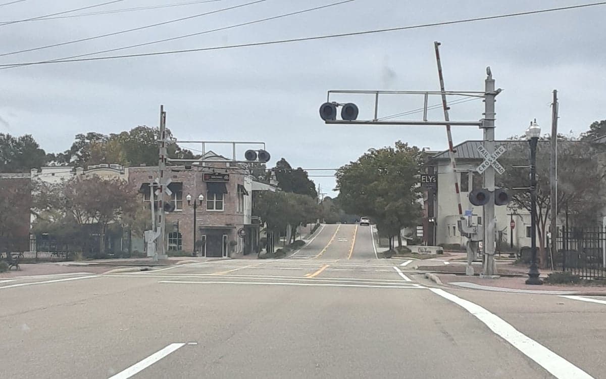
Photo: Wikipedia
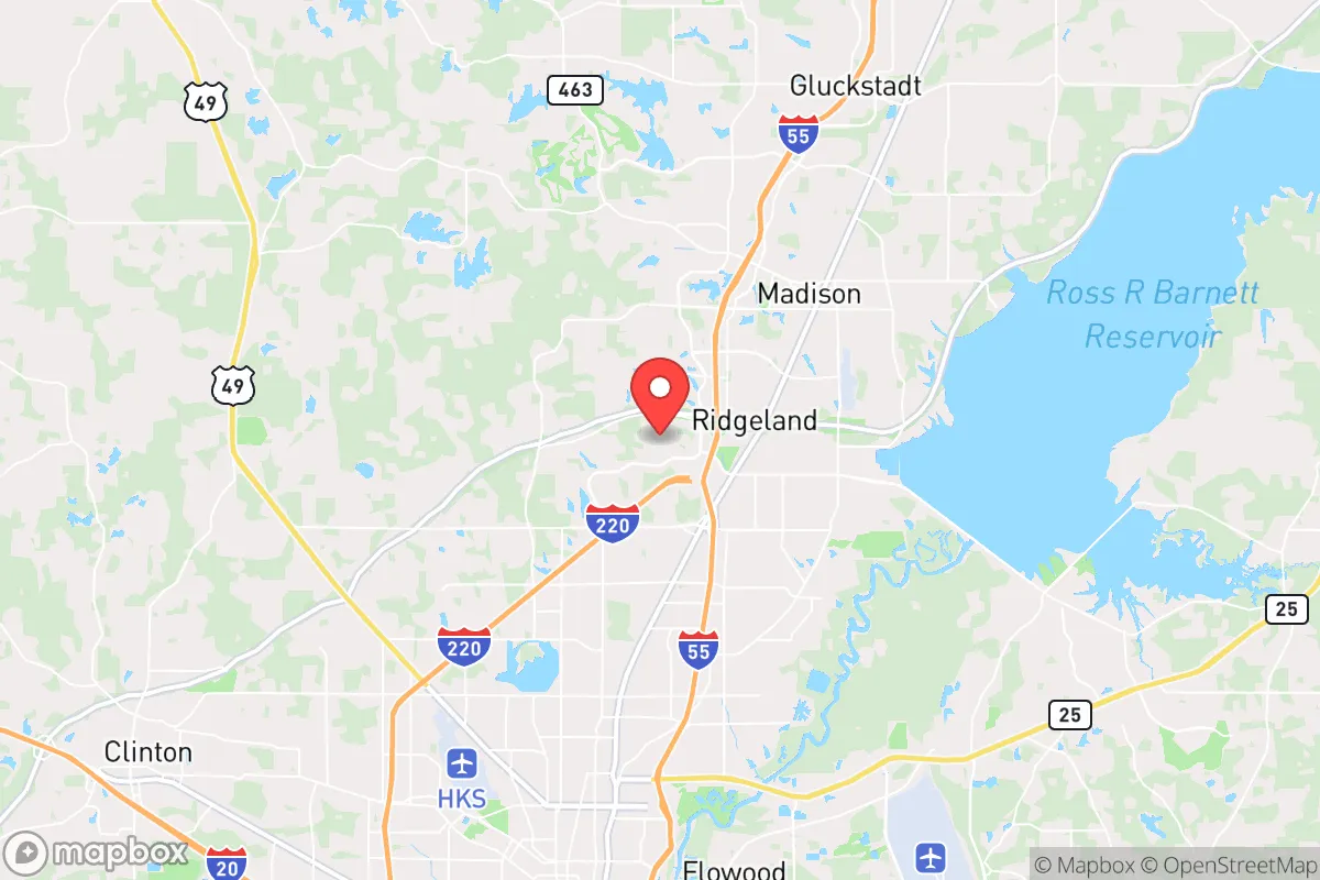
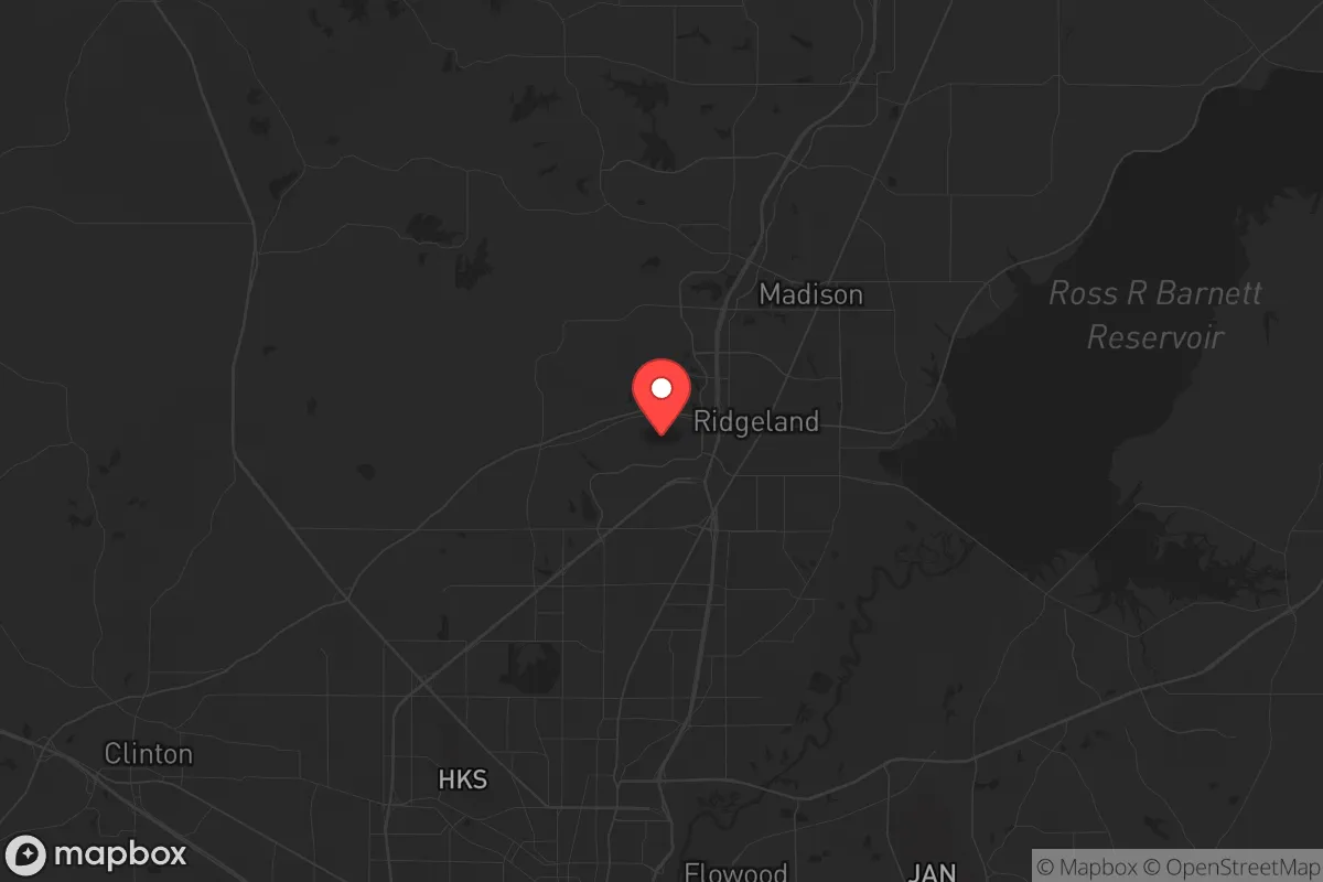
Strategic Assessment of Ridgeland, MS
Workable tactical position. Some exposure to population density or targets, but generally defensible in a crisis.
What does the Strategic Assessment tell us?
Our Strategic Assessment grades tactical survivability of an area. Major population centers, military targets, fallout zones, natural disasters, and border exposure all drive risk — lower exposure means a more defensible position in a crisis.
This is heavily inspired by Joel Skousen's Strategic Relocation book. Highly recommended you checkout the book ($)What does this tell us?
Our Strategic Assessment grades tactical survivability of an area. Major population centers, military targets, fallout zones, natural disasters, and border exposure all drive risk — lower exposure means a more defensible position in a crisis.
This is heavily inspired by Joel Skousen's Strategic Relocation book. Highly recommended you checkout the book ($)Strategic Pillars

Key Distances
Regional Safe Places
Below is our recommended "safe zones" in Mississippi and the surrounding area based on our strategic heuristics. For most people, it's unrealistic to live in a “safe zone” full-time due to work, family or other personal reasons. They tend to be more rural. However, many of these areas are perfect for second homes and retreat properties that double as a vacation home or even a short-term rental.
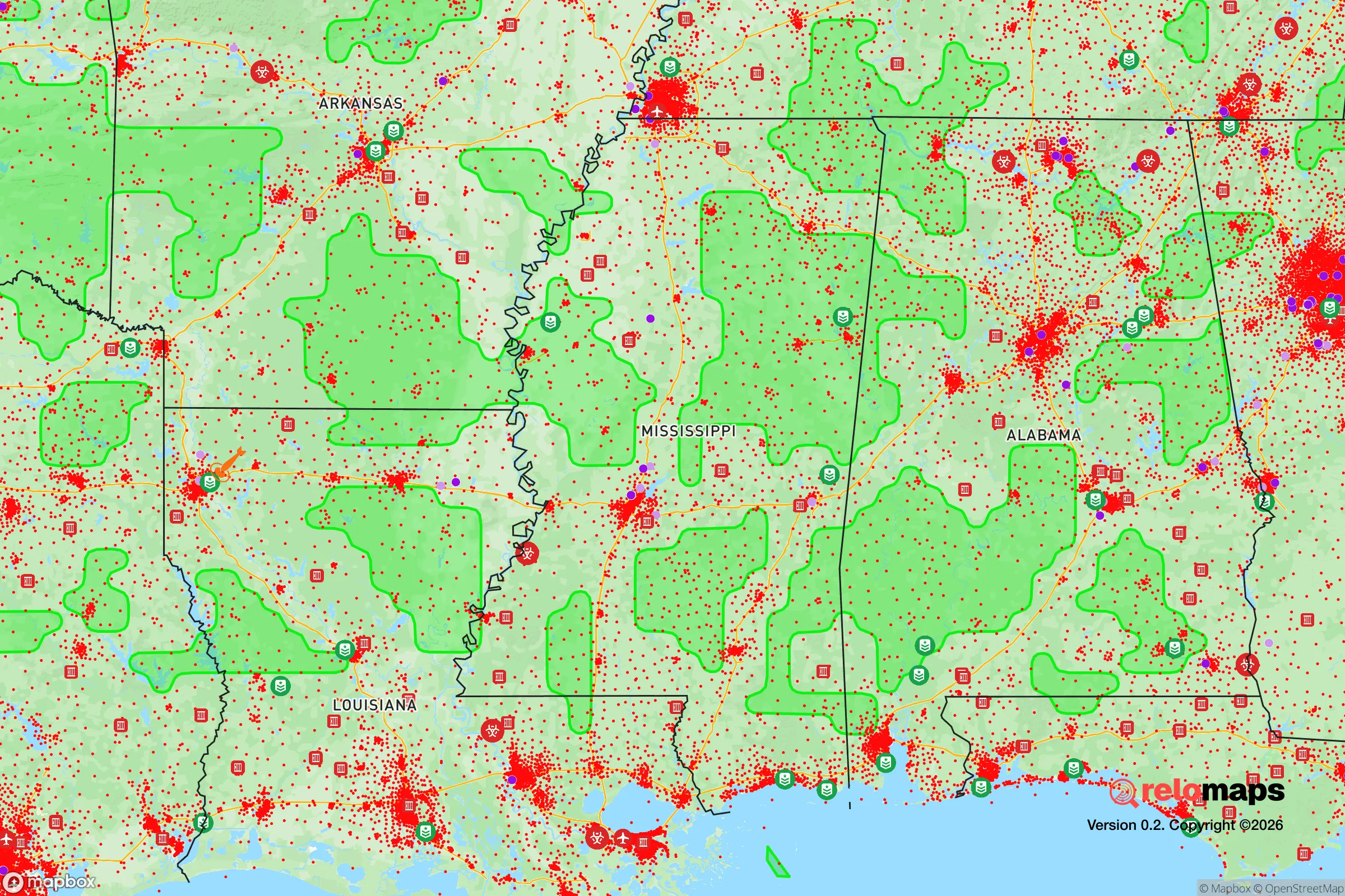
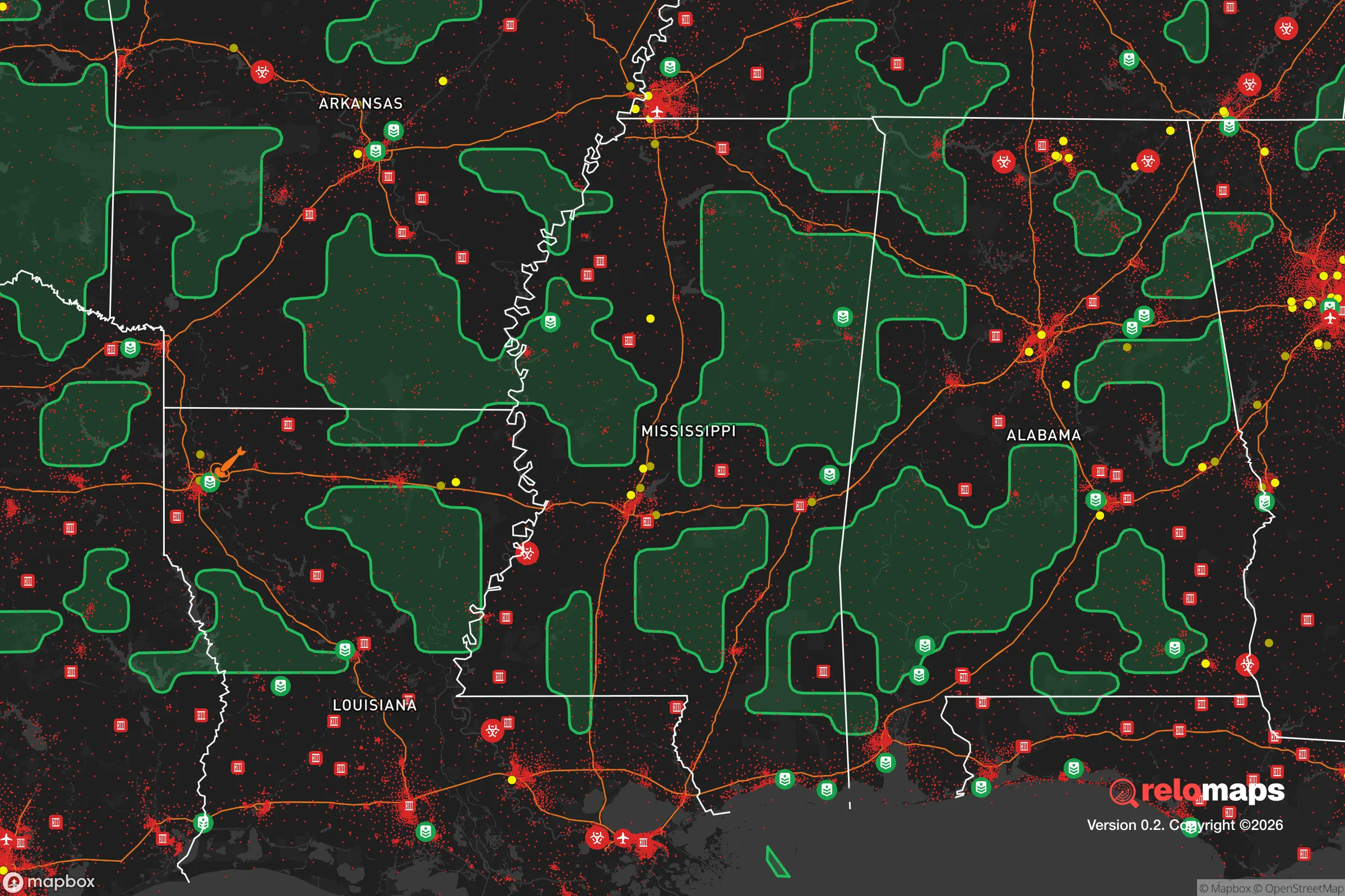
Important Note: For informational purposes only. This does not mean nothing bad ever happens in the green zones. Please use common sense. This is based on public data and modeled with AI. We tried to take a conservative approach but mistakes happen. We update this regularly as new information becomes available.
Solar Generator Recommendations
Backup power matters more here than in safer locations. We've picked three solar generators across budgets and capacity tiers — start with the budget unit if you only need a few essentials, or step up if you want to run a fridge and HVAC for days at a time.

Jackery Portable Power Station Explorer 300
Budget OptionPower on the Go: Weighing only 11 lbs, it's convenient to set up and store with book-sized foldable solar panels

BLUETTI Portable Power Station AC180
Designed for both indoor and outdoor scenarios, AC180 is highly capable as it has a robost capacity and continuous output power.

EF ECOFLOW DELTA Pro Ultra Power Station
Upgraded PickEcoFlow DELTA Pro Ultra is a whole-home energy system designed to grow with your family. Integrated with the Smart Home Panel 2, it scales to meet your evolving energy needs — keeping your home powered, intelligent, and secure through every stage of life.
We earn a commission, at no additional cost to you.
Strategic Assessment Analysis
Ridgeland, Mississippi, sits in a strategic sweet spot that preppers and survivalists should take seriously: close enough to the resources of Jackson to be useful, but far enough to avoid the worst of a metropolitan collapse. Located just north of the state capital along the I-55 corridor, this town of roughly 24,000 offers a blend of suburban infrastructure and rural adjacency that makes it a viable base for those planning for civic unrest, supply chain disruptions, or mass casualty events. The area’s resilience hinges on its position between two major highways—I-55 and the Natchez Trace Parkway—and its access to the Ross Barnett Reservoir, a 33,000-acre freshwater lake that provides both a water source and a natural barrier against uncontrolled movement. For a conservative-leaning relocator worried about the direction of the country, Ridgeland presents a defensible, resource-rich option that doesn’t require going completely off-grid.
Geographic position and natural advantages for long-term security
Ridgeland’s geography is its strongest card. The town sits on the northeastern edge of the Jackson metro area, but the Ross Barnett Reservoir acts as a moat to the east and north, creating a natural buffer zone that limits approach vectors. This is critical for anyone thinking about perimeter security or escape routes during a breakdown of civil order. The reservoir itself is a massive freshwater resource—33,000 acres of surface water—which means you’re not dependent on municipal supplies if the grid goes down. The Pearl River feeds the reservoir, and the surrounding wetlands and hardwood forests provide cover and game for hunting. To the west, the Big Black River offers another natural boundary, though it’s less developed. The terrain is gently rolling, not mountainous, which makes it easier to move supplies or vehicles but also means you’ll need to think about line-of-sight defensibility. The Natchez Trace Parkway, a federal road with limited access points, runs right through Ridgeland—this is a double-edged sword: it’s a quiet evacuation route, but it could also be a chokepoint if authorities lock it down. Overall, the area’s position between two rivers and a major lake gives you multiple water sources and natural barriers that most suburban towns lack.
Risks, exposures, and proximity to fallout-relevant landmarks
No place is without vulnerabilities, and Ridgeland has a few that demand attention. The most obvious risk is its proximity to Jackson, about 15 miles south. Jackson has been struggling with crime, infrastructure decay, and population decline for years—violent crime rates in Jackson are among the highest in the nation, and the city’s water system has suffered repeated failures. During a mass casualty event or civil unrest, Jackson could become a source of refugees, looters, or worse. Ridgeland’s position on I-55 means it’s a natural corridor for anyone fleeing the capital, so you’d need to plan for roadblocks or checkpoints. The city also has a major hospital, the University of Mississippi Medical Center in Jackson, which could become a target or a magnet for desperate people. On the industrial side, there are no nuclear plants within 50 miles, but the Vicksburg Chemical complex and various industrial sites along the Mississippi River could pose secondary hazards if disrupted. The reservoir dam at the Ross Barnett Dam is a critical infrastructure point—if it were compromised, flooding could affect low-lying areas of Ridgeland. Flood zones exist along the Pearl River and around the reservoir, so check FEMA maps before buying property. Finally, the area is in Tornado Alley’s southern extension; severe weather is a real threat, and a direct hit could disrupt power and communications for days. Preppers should factor in storm shelters and redundant communication gear.
Practical resilience for a relocator: food, water, energy, and defensibility
For someone serious about self-sufficiency, Ridgeland offers a workable mix of suburban convenience and rural capability. Water is the biggest win: the Ross Barnett Reservoir is a reliable surface water source, and the local water table is high enough that shallow wells (30-50 feet) are feasible in many parts of Madison County. The county’s agricultural heritage means there are still working farms and livestock operations within a 20-minute drive, so bartering for fresh food or buying bulk grains is realistic. The climate supports year-round gardening—the growing season runs from March to November—and the soil is loamy in the river bottoms. For energy, the grid is reasonably stable, but natural gas is the primary heating fuel, and propane is widely available for backup. Solar potential is decent, with about 215 sunny days per year, though tree cover in the reservoir area can limit panel efficiency. Defensibility is where Ridgeland shines compared to denser suburbs: the town is spread out, with many neighborhoods on cul-de-sacs or along the reservoir’s fingers, giving you natural chokepoints. Madison County has a strong sheriff’s department and a conservative local government that’s generally pro-Second Amendment, which matters if you’re thinking about community defense. The downside is that Ridgeland is not remote—you’re still within an hour of Jackson, and the I-55 corridor means traffic could be a problem during an evacuation. For a solo prepper or a family, the key is to buy property on the northern or eastern edges, closer to the reservoir and farther from the interstate, to maximize buffer space.
The overall strategic picture for Ridgeland is cautiously optimistic for a conservative relocator with prepper instincts. It’s not a bug-out location in the wilderness—you’re still tied to the Jackson metro’s vulnerabilities—but it offers a rare combination of abundant freshwater, defensible terrain, and a politically aligned local culture that makes long-term resilience feasible. The reservoir gives you a resource that most suburban towns lack, and the natural barriers reduce the risk of being overrun during a crisis. The biggest trade-off is proximity to Jackson’s instability; you’ll need to invest in security measures, stockpile supplies for at least 90 days, and have a secondary evacuation plan if the capital collapses. But for someone who wants to stay connected to infrastructure while maintaining a serious preparedness posture, Ridgeland is a solid bet. Just don’t buy on the floodplain, and make sure your property has a well and a backup generator. In a world where the grid is fragile and civil order is uncertain, this town gives you a fighting chance without forcing you to live in a bunker.
* Values derived from national, state, county, city and local statistics and may differ in a specific area. Last updated: 2026-05-01T12:35:32.000Z
Narrative content on this page is AI-generated and may contain mistakes. Verify any details that matter before acting on them.
ReloMaps may earn a commission from affiliate links at no extra cost to you.