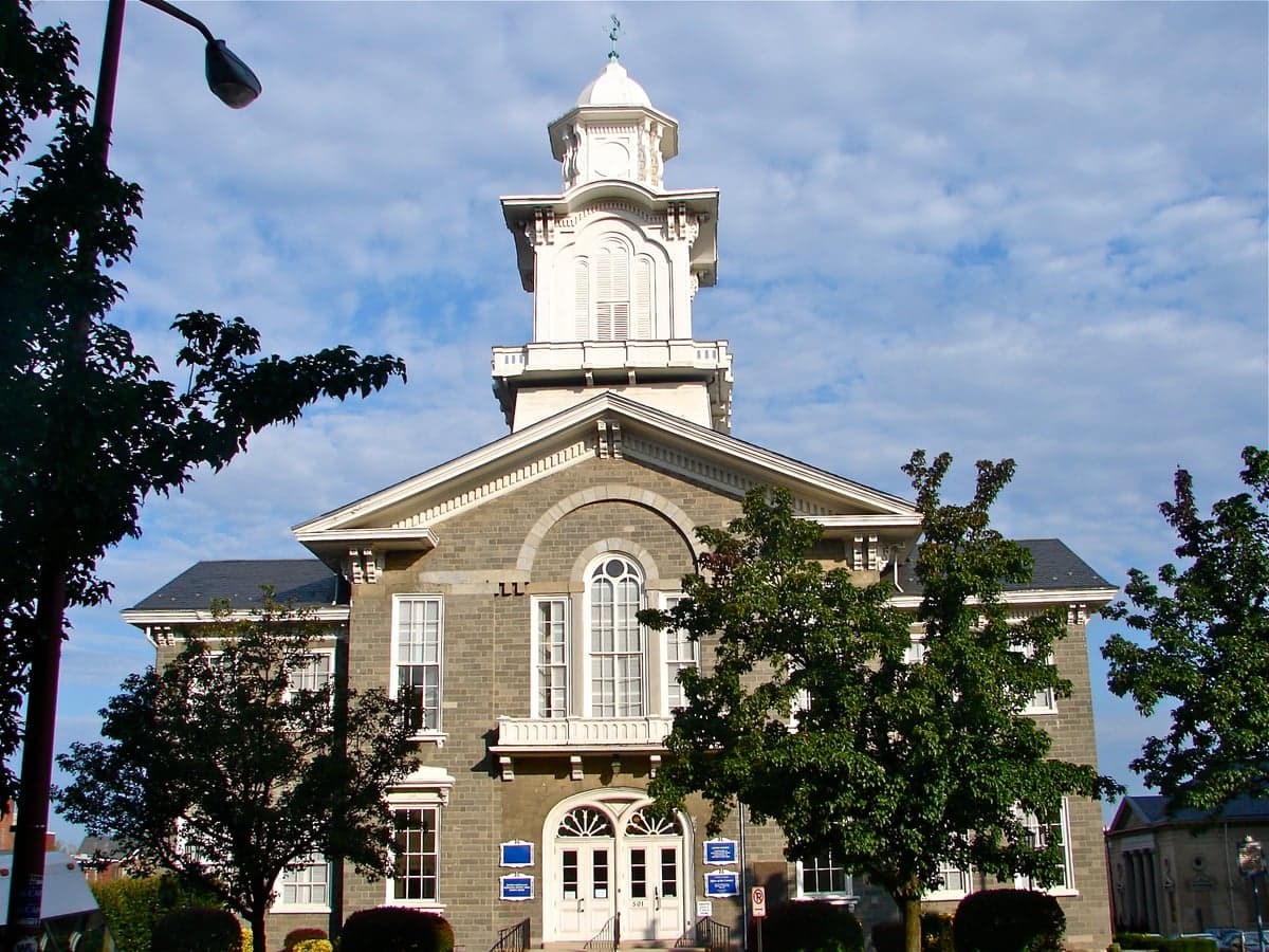
Photo: Wikipedia
Strategic Assessment of Lehigh County
Multiple tactical vulnerabilities. Population density, target proximity, or disaster risk are likely compounding. A retreat property and exit planning is required.
What does the Strategic Assessment tell us?
Our Strategic Assessment grades tactical survivability of an area. Major population centers, military targets, fallout zones, natural disasters, and border exposure all drive risk — lower exposure means a more defensible position in a crisis.
This is heavily inspired by Joel Skousen's Strategic Relocation book. Highly recommended you checkout the book ($)What does this tell us?
Our Strategic Assessment grades tactical survivability of an area. Major population centers, military targets, fallout zones, natural disasters, and border exposure all drive risk — lower exposure means a more defensible position in a crisis.
This is heavily inspired by Joel Skousen's Strategic Relocation book. Highly recommended you checkout the book ($)Strategic Pillars

Key Distances
Strategic Assessment Analysis
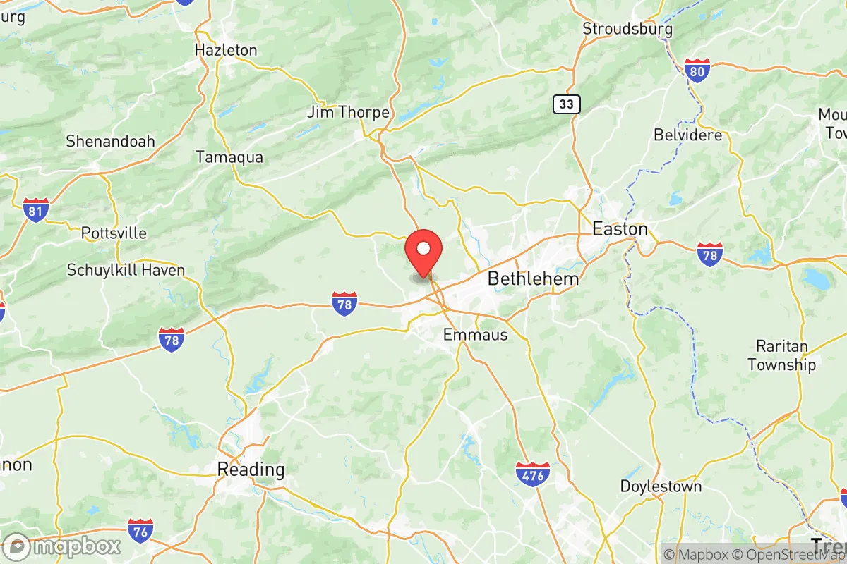
Lehigh County occupies a strategic middle ground in Pennsylvania’s Lehigh Valley that appeals to relocators balancing access with self-sufficiency. Anchored by Allentown, Bethlehem, and Easton, the county sits roughly halfway between Philadelphia and New York City, but its geography—pressed against the Blue Mountain ridge and drained by the Lehigh River—offers natural buffers absent from the coastal flatlands. The region has shown real economic resilience since the decline of heavy industry, reinventing itself around logistics, healthcare, and advanced manufacturing without losing its rural-urban hybrid character. For someone thinking about disaster readiness and long-term security, Lehigh County presents a measured trade-off: close enough to metro resources to matter, far enough to avoid the worst of a cascading urban collapse.
Lehigh County's geographic position and natural defensive advantages
The county sits at the southern edge of the Appalachian ridge-and-valley province, where the Blue Mountain escarpment rises abruptly north of the Lehigh River. This ridge acts as a natural barrier that separates the more exposed Allentown-Bethlehem-Easton corridor from the interior of Pennsylvania, limiting easy access from the north and providing a fallback zone into the Poconos and beyond. The Lehigh River itself—fed by a watershed that drains the Pocono Plateau—offers a reliable freshwater artery that could sustain localized agriculture and livestock operations even during extended grid outages. The terrain is rolling rather than mountainous in the central part of the county, which means good drainage and usable farmland, particularly in the western townships like Lowhill and Weisenberg. Elevations across the county range from about 200 feet along the Lehigh River near Easton to over 1,200 feet on the ridge line, giving relocators a variety of microclimates and defensible positions. The area’s karst geology (limestone bedrock) supports productive soils and groundwater aquifers, but also carries sinkhole risk in pockets—a minor trade-off for the agricultural capacity it enables. Overall, Lehigh County’s position along the Fall Line between the Piedmont and the Appalachian region gives it a stronger natural footing than counties further east that sit entirely on the coastal plain.
Major risk exposures and proximity to fallout-relevant landmarks in the Northeast corridor
Lehigh County’s biggest vulnerability is its location within the densely populated Northeast megalopolis. The county lies roughly 50 miles north of Philadelphia and 90 miles west of New York City—close enough that a major event in either metro area (nuclear accident, terrorist strike, EMP, large-scale civil unrest) could generate fallout refugees, supply chain disruptions, and secondary effects like price spikes and fuel shortages. The I-78 corridor runs straight through the county, linking the Lehigh Valley to the ports of New Jersey and New York; that highway is a critical logistics artery and a potential chokepoint in any crisis. Within the county itself, Lehigh Valley International Airport (ABE) and the former Bethlehem Steel plant site (now a casino and industrial park) are high-visibility landmarks that could be secondary targets in a conflict scenario. The Limerick Generating Station (nuclear power) lies about 30 miles south in Montgomery County, within the plausible fallout plume zone for certain wind patterns. Additionally, the county is crisscrossed by multiple natural gas pipelines feeding the Northeast; a rupture or sabotage event along the Texas Eastern Transmission pipeline corridor could disrupt heating and cooking fuel for weeks. Flood risk is non-trivial along the Lehigh River and its tributaries—especially in low-lying parts of Allentown and Bethlehem—and severe storms have caused damaging floods as recently as 2021. A relocator needs to weigh these exposures against the benefits of being near major medical centers (Lehigh Valley Health Network, St. Luke's) and food distribution hubs.
Practical self-sufficiency: food, water, energy, and defensibility in Lehigh County
For a household serious about self-sufficiency, Lehigh County offers a workable mix of rural and exurban options within an hour of two major cities. The agricultural sector remains active: dairy farms, corn and soybean operations, and market gardens are concentrated in the western and northern townships (Heidelberg, Lynn, Lowhill, and North Whitehall). County open-space programs have preserved tens of thousands of acres of farmland, which means a relocator with some acreage can reasonably plan to grow a significant portion of their own food. The Lehigh River and the Little Lehigh Creek provide surface water sources, and many rural properties sit on private wells tapping the limestone aquifer—though well yields vary and testing is essential. For energy, the grid is reliable but not islandable without investment; solar potential is moderate (Pennsylvania ranks near the middle nationally), and wood heat is viable given the forested ridge slopes. Defensibility depends on property choices: retreats along the Blue Mountain ridge offer natural chokepoints and long sightlines, while valley-floor properties are more exposed to traffic and refugees. The county’s topography means that small, tight-knit communities like Slatington, Macungie, and Emmaus can function as mutual-aid nodes. However, the suburban expansion around Allentown and Bethlehem has reduced the number of truly isolated parcels; a relocator wanting true rural buffer should look at properties north of Route 22 or west of Route 100. Emergency services are well-funded relative to rural Pennsylvania (the county operates a 911 center and has mutual-aid agreements with surrounding counties), but response times in the northern townships can stretch past 15 minutes in winter weather. Overall, Lehigh County is not a survivalist paradise, but it provides a realistic foundation for a thoughtful prepper or resilience-minded family that values community proximity as much as isolation.
The strategic picture for Lehigh County is arguably the most balanced in eastern Pennsylvania. It avoids the vulnerability of being directly on the I-95 corridor (like Philadelphia or Delaware County) while still offering access to world-class medical infrastructure and multiple supply chains. The county’s proximity to both the Appalachian fallback zone and the coastal economic engine means a relocator can pivot depending on the nature of the crisis—hunker down in the Blue Mountain foothills during a short-term disruption, or bug in for a longer event using the region’s agricultural base. The primary downsides—congestion around Allentown, flood risk in the river towns, and pipeline/power plant exposure—are manageable with smart site selection. For a conservative-leaning household weighing disaster readiness alongside everyday quality of life, Lehigh County deserves a close look, especially compared to pricier and more exposed options in the New Jersey suburbs or the Hudson Valley.

* Values derived from national, state, county, city and local statistics and may differ in a specific area. Last updated: 2026-06-24T19:06:48.000Z
Narrative content on this page is AI-generated and may contain mistakes. Verify any details that matter before acting on them.
ReloMaps may earn a commission from affiliate links at no extra cost to you.

