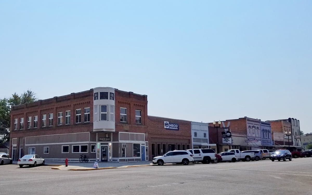
Photo: Wikipedia
Strategic Assessment of Payette, ID
Strong survivability profile. Good buffer from population centers, with manageable environmental and tactical risks.
What does the Strategic Assessment tell us?
Our Strategic Assessment grades tactical survivability of an area. Major population centers, military targets, fallout zones, natural disasters, and border exposure all drive risk — lower exposure means a more defensible position in a crisis.
This is heavily inspired by Joel Skousen's Strategic Relocation book. Highly recommended you checkout the book ($)What does this tell us?
Our Strategic Assessment grades tactical survivability of an area. Major population centers, military targets, fallout zones, natural disasters, and border exposure all drive risk — lower exposure means a more defensible position in a crisis.
This is heavily inspired by Joel Skousen's Strategic Relocation book. Highly recommended you checkout the book ($)Strategic Pillars

Key Distances
Regional Safe Places
Below is our recommended "safe zones" in Idaho and the surrounding area based on our strategic heuristics. For most people, it's unrealistic to live in a “safe zone” full-time due to work, family or other personal reasons. They tend to be more rural. However, many of these areas are perfect for second homes and retreat properties that double as a vacation home or even a short-term rental.


Important Note: For informational purposes only. This does not mean nothing bad ever happens in the green zones. Please use common sense. This is based on public data and modeled with AI. We tried to take a conservative approach but mistakes happen. We update this regularly as new information becomes available.
Solar Generator Recommendations
Backup power matters more here than in safer locations. We've picked three solar generators across budgets and capacity tiers — start with the budget unit if you only need a few essentials, or step up if you want to run a fridge and HVAC for days at a time.

Jackery Portable Power Station Explorer 300
Budget OptionPower on the Go: Weighing only 11 lbs, it's convenient to set up and store with book-sized foldable solar panels

BLUETTI Portable Power Station AC180
Designed for both indoor and outdoor scenarios, AC180 is highly capable as it has a robost capacity and continuous output power.

EF ECOFLOW DELTA Pro Ultra Power Station
Upgraded PickEcoFlow DELTA Pro Ultra is a whole-home energy system designed to grow with your family. Integrated with the Smart Home Panel 2, it scales to meet your evolving energy needs — keeping your home powered, intelligent, and secure through every stage of life.
We earn a commission, at no additional cost to you.
Strategic Assessment Analysis
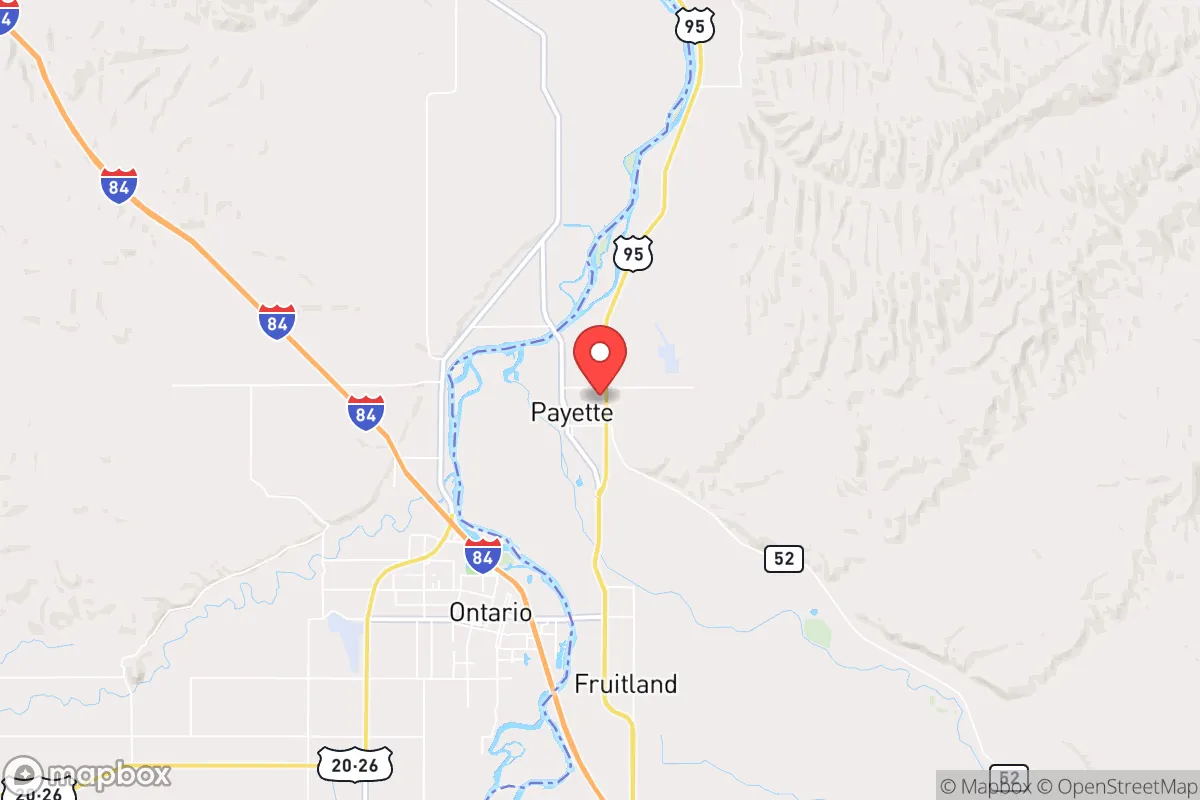
Payette, Idaho, sits in a sweet spot that few relocation analysts talk about openly: close enough to the Treasure Valley for supply runs and medical access, but far enough from Boise’s population density to offer genuine strategic depth in a crisis. The city’s position along the Payette River and its agricultural base give it a resilience profile that appeals to those thinking beyond standard suburban living. For a conservative-leaning individual or family weighing long-term preparedness, Payette offers a blend of isolation, resource access, and community scale that’s hard to find in the Intermountain West without going full off-grid.
Geographic position and natural advantages for long-term stability
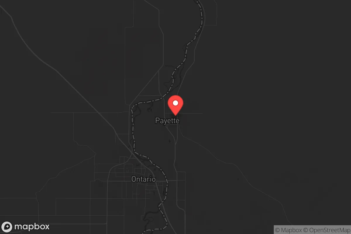
Payette’s location at the confluence of the Payette River and the Snake River plain is its first strategic asset. The city sits in a broad valley ringed by the Owyhee Mountains to the south and the Payette National Forest to the north, creating natural chokepoints for any large-scale movement. Unlike Boise or Nampa, which are sprawled across flat terrain with multiple highway approaches, Payette has only a handful of primary roads—US-95 and US-30—that can be monitored or controlled if needed. The surrounding farmland is not just scenic; it’s productive. Payette County has over 100,000 acres of irrigated cropland, meaning local food production isn’t a theoretical exercise—it’s the economic backbone. The Snake River aquifer provides reliable groundwater, and the Payette River itself offers surface water that doesn’t depend on snowpack melt from a single source. For a relocator thinking about water security, this is a meaningful advantage over drier towns like Mountain Home or even parts of eastern Oregon.
Risks, exposures, and proximity to fallout-relevant landmarks
No location is immune, and Payette has its share of exposure. The most obvious risk is the proximity to the Idaho National Laboratory (INL), about 120 miles east near Idaho Falls. While that distance is significant—well outside the immediate blast or fallout zone for most scenarios—it’s worth noting that INL handles nuclear materials and research reactors. A major incident there could affect prevailing winds, which in the Treasure Valley typically blow from the southwest. Payette’s position west of INL means it’s upwind in most weather patterns, which is a net positive. More immediate concerns are the rail lines running through town—Union Pacific’s main line carries hazardous materials between the Pacific Northwest and the interior. A derailment near the Payette River could compromise local water intakes. On the human threat side, Payette is 50 miles from Boise’s urban core, which in a civil unrest scenario could generate refugee flow along US-95. However, the city’s small population (around 7,500) and rural character mean it lacks the high-value targets—major government buildings, dense commercial hubs, or large-scale infrastructure—that would draw coordinated attacks. The county’s low population density (about 18 people per square mile) also reduces the risk of disease spread compared to urban centers.
Practical resilience for a relocator: food, water, energy, and defensibility
For someone serious about self-reliance, Payette checks boxes that most relocation guides ignore. Water: The city’s municipal supply comes from groundwater wells, not a single vulnerable reservoir. Rural properties outside city limits often have their own wells tapping the Snake River aquifer, which has centuries of recharge capacity. Food: Payette is surrounded by working farms—onions, sugar beets, corn, alfalfa, and livestock operations. The Payette Farmers Market operates seasonally, but the real advantage is the ability to buy direct from producers year-round. Several local farms offer bulk meat and produce shares. Energy: Idaho Power’s grid is fed by hydroelectric dams on the Snake and Payette rivers, which are less prone to cascading failure than natural gas-dependent systems. Solar potential is excellent—over 300 sunny days per year—and there are no HOA restrictions in unincorporated Payette County that would prevent panel installation. Defensibility: The town’s layout is compact, with a historic downtown grid and residential areas spreading into the surrounding farmland. Rural properties with acreage offer standoff distance and multiple egress routes via county roads that don’t appear on most GPS maps. The local sheriff’s office is well-funded relative to population, and Idaho’s constitutional carry laws mean that armed preparedness is the norm, not the exception. For a family, the school district (Payette Joint School District 371) is small enough that you’ll know your neighbors and their kids—a social cohesion factor that matters when community trust is the first line of defense.
The overall strategic picture for a prepared relocation
Payette isn’t a bug-out location for the lone wolf; it’s a community-scale option for someone who wants to be part of a functioning social fabric while maintaining personal preparedness. The trade-offs are real: winters are cold (average January highs around 36°F), and the nearest Level 1 trauma center is in Boise, 50 minutes away. But for a conservative-leaning relocator who values local control, agricultural self-sufficiency, and distance from urban chaos, Payette offers a rare combination of accessibility and buffer. It’s not a fortress—no place is—but it’s a solid base from which to weather the next decade’s uncertainties without disappearing into the wilderness. If you’re looking at Idaho as a strategic relocation, Payette deserves a serious look before the word gets out and the land prices follow the Treasure Valley trajectory.
* Values derived from national, state, county, city and local statistics and may differ in a specific area. Last updated: 2026-04-21T09:53:04.000Z
Narrative content on this page is AI-generated and may contain mistakes. Verify any details that matter before acting on them.
ReloMaps may earn a commission from affiliate links at no extra cost to you.