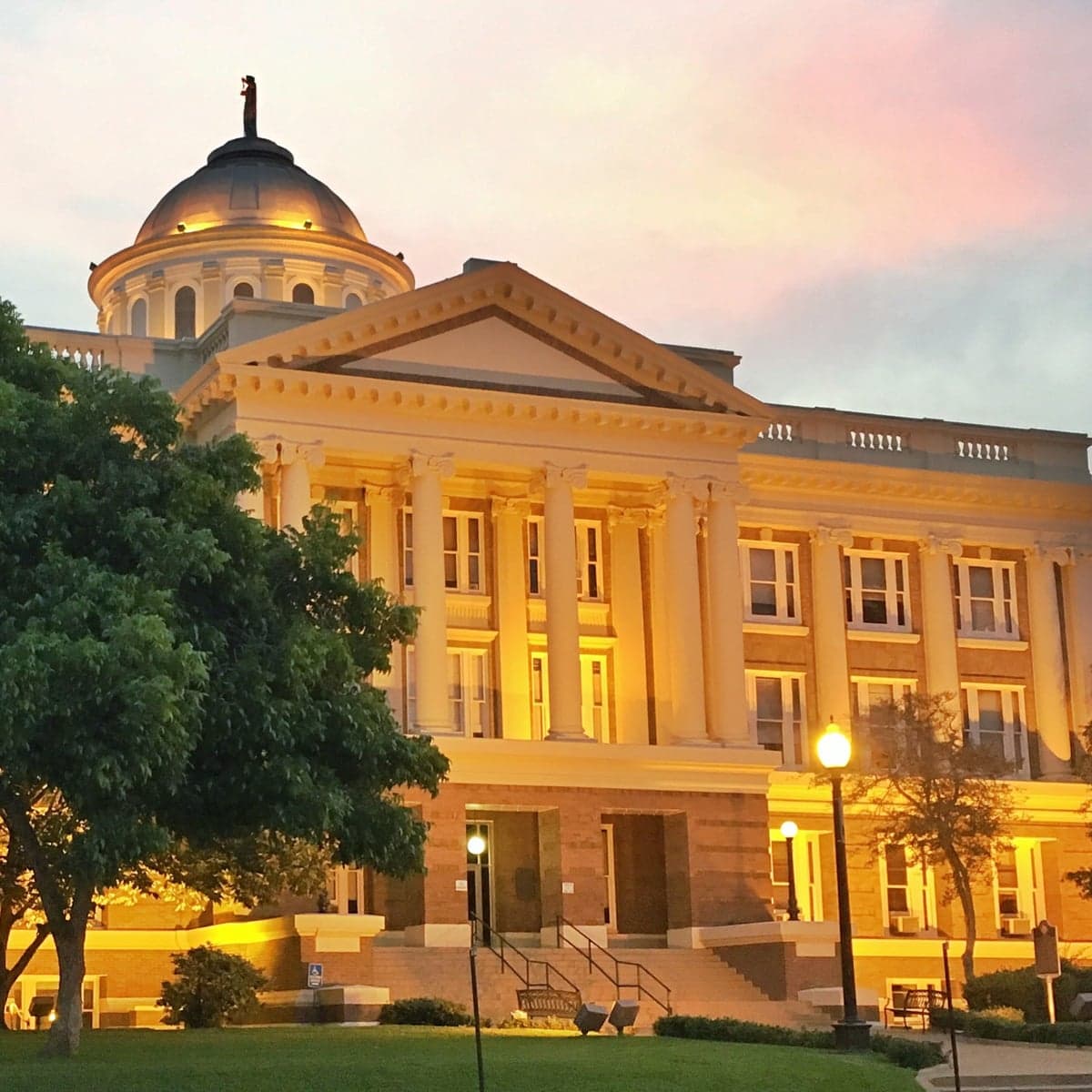
Photo: Wikipedia
Strategic Assessment of Palestine, TX
Meaningful friction. Expect exposure to either population pressure, blast zones, or natural disaster risk. Consider buying a retreat property.
What does the Strategic Assessment tell us?
Our Strategic Assessment grades tactical survivability of an area. Major population centers, military targets, fallout zones, natural disasters, and border exposure all drive risk — lower exposure means a more defensible position in a crisis.
This is heavily inspired by Joel Skousen's Strategic Relocation book. Highly recommended you checkout the book ($)What does this tell us?
Our Strategic Assessment grades tactical survivability of an area. Major population centers, military targets, fallout zones, natural disasters, and border exposure all drive risk — lower exposure means a more defensible position in a crisis.
This is heavily inspired by Joel Skousen's Strategic Relocation book. Highly recommended you checkout the book ($)Strategic Pillars

Key Distances
Regional Safe Places
Below is our recommended "safe zones" in Texas and the surrounding area based on our strategic heuristics. For most people, it's unrealistic to live in a “safe zone” full-time due to work, family or other personal reasons. They tend to be more rural. However, many of these areas are perfect for second homes and retreat properties that double as a vacation home or even a short-term rental.


Important Note: For informational purposes only. This does not mean nothing bad ever happens in the green zones. Please use common sense. This is based on public data and modeled with AI. We tried to take a conservative approach but mistakes happen. We update this regularly as new information becomes available.
Solar Generator Recommendations
Backup power matters more here than in safer locations. We've picked three solar generators across budgets and capacity tiers — start with the budget unit if you only need a few essentials, or step up if you want to run a fridge and HVAC for days at a time.

Jackery Portable Power Station Explorer 300
Budget OptionPower on the Go: Weighing only 11 lbs, it's convenient to set up and store with book-sized foldable solar panels

BLUETTI Portable Power Station AC180
Designed for both indoor and outdoor scenarios, AC180 is highly capable as it has a robost capacity and continuous output power.

EF ECOFLOW DELTA Pro Ultra Power Station
Upgraded PickEcoFlow DELTA Pro Ultra is a whole-home energy system designed to grow with your family. Integrated with the Smart Home Panel 2, it scales to meet your evolving energy needs — keeping your home powered, intelligent, and secure through every stage of life.
We earn a commission, at no additional cost to you.
Strategic Assessment Analysis
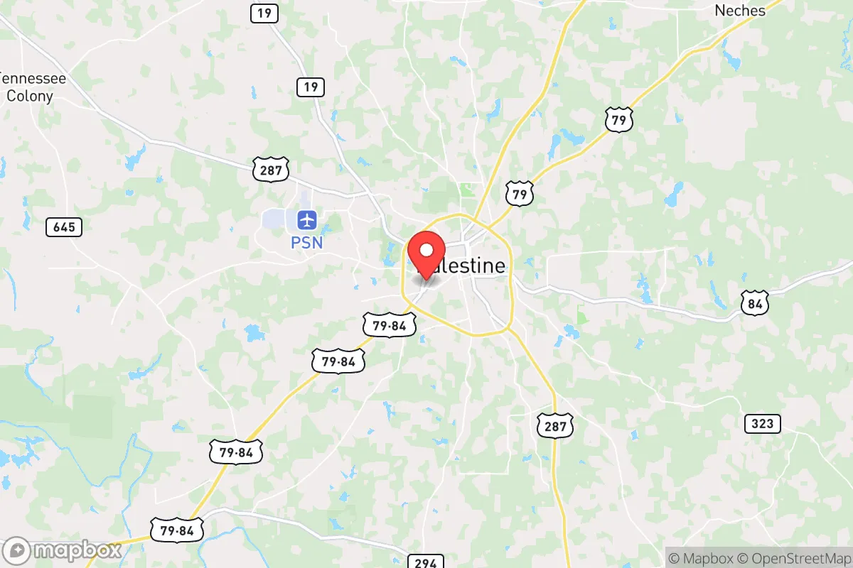
Palestine, Texas offers a blend of small-town resilience and strategic location advantages that appeal to those prioritizing self-reliance and preparedness. Situated in Anderson County, roughly 100 miles from Houston and 150 miles from Dallas, it provides a meaningful buffer from major metropolitan chaos while still being within a reasonable distance for supply runs or evacuation if needed. The area's conservative culture, lower population density, and access to natural resources make it a viable base for relocators seeking a more secure long-term position in an uncertain national landscape.
Geographic position and natural advantages for long-term survival
Palestine sits at the edge of the Piney Woods region, surrounded by the Davy Crockett National Forest to the east and the Neches River to the west. This geography delivers several hard advantages for a prepper mindset. The national forest offers a vast, sparsely populated buffer zone with timber, wildlife, and limited road access—ideal for hunting, foraging, and creating remote caches. The Neches River provides a reliable surface water source, and the underlying Carrizo-Wilcox Aquifer supplies some of the best groundwater in East Texas. The local climate supports a long growing season (roughly 230 frost-free days), making year-round food production feasible. Rolling hills and mixed hardwood-pine forests also offer natural cover and defensible terrain, unlike the flat, exposed farmland found farther west. For a relocator, these features mean you can secure water, food, and concealment without relying entirely on supply chains.
Anderson County itself is reliably conservative, with a strong gun culture and a population that largely values self-sufficiency. The county seat, Palestine, has a historic downtown but remains a small city of about 18,000 people. The surrounding unincorporated areas are even more sparsely populated, with many residents already living on acreage. This cultural alignment reduces friction for newcomers who share similar values and want to integrate into a community that won't look sideways at a well-stocked pantry or a private shooting range.
Risks, exposures, and proximity to fallout-relevant landmarks
No location is without vulnerabilities, and Palestine has several that a strategic relocator must weigh. The most immediate risk is its proximity to Interstate 45, a major north-south evacuation corridor connecting Houston to Dallas. In a mass evacuation scenario—whether from a hurricane, a nuclear incident on the Gulf Coast, or civil unrest in Houston—I-45 could become a clogged, dangerous funnel. Palestine lies about 30 miles east of I-45, close enough to feel the ripple effects of refugee flows and supply chain disruptions. Secondary highways like US-79 and US-287 also pass through the area, creating potential choke points and unwanted traffic.
Regarding fallout-relevant landmarks, Palestine is not near any active nuclear power plants—the closest is Comanche Peak near Glen Rose, roughly 130 miles west—but it lies within the broader fallout zone of several potential targets. The Strategic Petroleum Reserve sites in Bryan Mound and Big Hill are on the Gulf Coast, and any major disruption there could send refugees north. More concerning is the proximity to the Texas Gulf Coast itself: a hurricane strike on Houston or Beaumont could push hundreds of thousands of evacuees inland, and Palestine sits directly in the path of several plausible routes. The Neches River also poses a flood risk; the 2016 Tax Day floods and 2019 flooding events demonstrated that low-lying areas near the river can become impassable. Finally, the area's rail infrastructure—Palestine is a historic railroad hub—could become a target or a vector for hazardous material spills in a crisis. For the prepper, these risks mean you need a plan for both sheltering in place and for potential evacuation eastward into the national forest or deeper into the Piney Woods.
Practical resilience: food, water, energy, and defensibility
From a practical standpoint, Palestine scores well on the basics. Water is the strongest asset: the Neches River is perennial, and the aquifer is deep and generally clean. Many rural properties already have wells, and the water table is shallow enough that hand-pumping or solar pumping is viable. For surface water, the river and several smaller creeks (like the Catfish Creek and Brushy Creek) provide redundancy. Food production is also feasible. The local soil is sandy loam, suitable for gardens, and the long growing season allows for multiple crop cycles. Deer, turkey, and feral hogs are abundant in the national forest and private timberlands, providing a protein source that doesn't require store-bought feed. Local farmers' markets and small-scale producers exist, but a relocator should plan to establish their own garden and possibly a small orchard within the first year.
Energy resilience is a mixed bag. The East Texas grid is part of ERCOT, which has shown vulnerability to winter storms (as in 2021) and summer peak loads. Solar potential is moderate—the region gets about 4.5 peak sun hours per day, enough for a well-sized off-grid system but not as strong as West Texas. Wood heating is a practical backup, given the surrounding forest. Propane is widely available for cooking and heating. Defensibility is aided by the terrain: the rolling hills and dense tree lines create natural sight barriers and limited lines of approach. However, the area is not mountainous, so a determined group could still approach from multiple directions. The best defensive strategy here is obscurity and community. Anderson County has a strong tradition of mutual aid among rural landowners, and joining a local church or civic group can build the social capital that matters most in a prolonged crisis. The county also has a relatively low crime rate, but property crime can spike during economic downturns—something to prepare for with good fencing, lighting, and a secure storage area.
For the relocator, the practical takeaway is that Palestine offers a solid foundation for self-sufficiency, but it requires active investment. You cannot just buy land and expect it to sustain you without work. The natural resources are there, but you need to drill the well, plant the garden, and build the relationships. The area's moderate climate reduces the risk of extreme weather events compared to the Gulf Coast or the Panhandle, but you still need to plan for ice storms, flooding, and the occasional tornado.
Overall, Palestine, Texas presents a balanced strategic option for those seeking a retreat that is not too remote but offers significant natural advantages. The key is to mitigate the identified risks—especially the proximity to I-45 and the potential for refugee influx—through proper preparation, community integration, and a solid plan for both sheltering and evacuation. For the conservative prepper, it's a solid B+ location that requires active management but rewards effort with genuine resilience. The area's cultural alignment, water abundance, and defensible terrain make it a worthwhile consideration for anyone serious about long-term preparedness in an uncertain world.
* Values derived from national, state, county, city and local statistics and may differ in a specific area. Last updated: 2026-05-14T20:57:47.000Z
Narrative content on this page is AI-generated and may contain mistakes. Verify any details that matter before acting on them.
ReloMaps may earn a commission from affiliate links at no extra cost to you.