
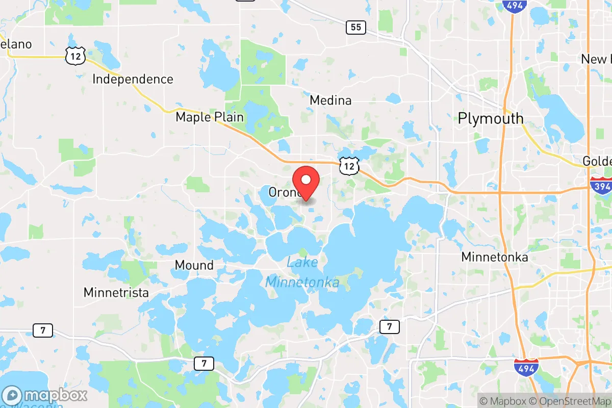
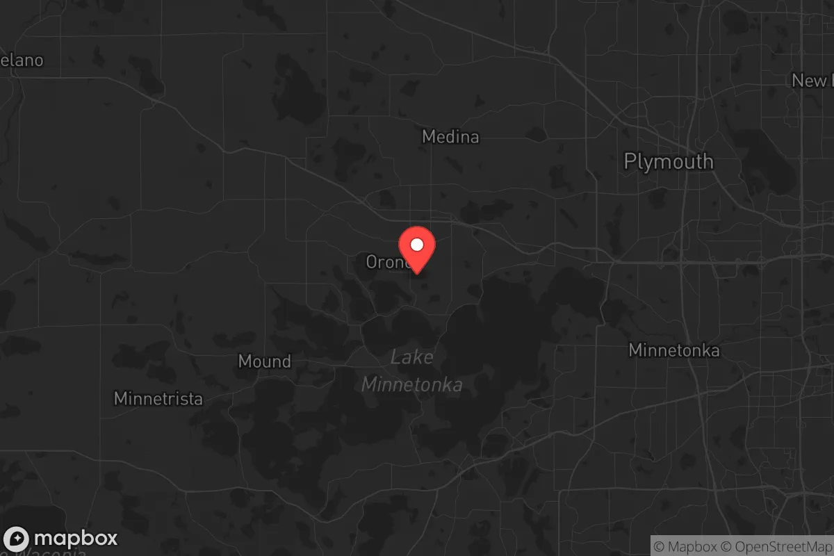
Strategic Assessment of Orono, MN
Meaningful friction. Expect exposure to either population pressure, blast zones, or natural disaster risk. Consider buying a retreat property.
What does the Strategic Assessment tell us?
Our Strategic Assessment grades tactical survivability of an area. Major population centers, military targets, fallout zones, natural disasters, and border exposure all drive risk — lower exposure means a more defensible position in a crisis.
This is heavily inspired by Joel Skousen's Strategic Relocation book. Highly recommended you checkout the book ($)What does this tell us?
Our Strategic Assessment grades tactical survivability of an area. Major population centers, military targets, fallout zones, natural disasters, and border exposure all drive risk — lower exposure means a more defensible position in a crisis.
This is heavily inspired by Joel Skousen's Strategic Relocation book. Highly recommended you checkout the book ($)Strategic Pillars

Key Distances
Regional Safe Places
Below is our recommended "safe zones" in Minnesota and the surrounding area based on our strategic heuristics. For most people, it's unrealistic to live in a “safe zone” full-time due to work, family or other personal reasons. They tend to be more rural. However, many of these areas are perfect for second homes and retreat properties that double as a vacation home or even a short-term rental.


Important Note: For informational purposes only. This does not mean nothing bad ever happens in the green zones. Please use common sense. This is based on public data and modeled with AI. We tried to take a conservative approach but mistakes happen. We update this regularly as new information becomes available.
Solar Generator Recommendations
Backup power matters more here than in safer locations. We've picked three solar generators across budgets and capacity tiers — start with the budget unit if you only need a few essentials, or step up if you want to run a fridge and HVAC for days at a time.

Jackery Portable Power Station Explorer 300
Budget OptionPower on the Go: Weighing only 11 lbs, it's convenient to set up and store with book-sized foldable solar panels

BLUETTI Portable Power Station AC180
Designed for both indoor and outdoor scenarios, AC180 is highly capable as it has a robost capacity and continuous output power.

EF ECOFLOW DELTA Pro Ultra Power Station
Upgraded PickEcoFlow DELTA Pro Ultra is a whole-home energy system designed to grow with your family. Integrated with the Smart Home Panel 2, it scales to meet your evolving energy needs — keeping your home powered, intelligent, and secure through every stage of life.
We earn a commission, at no additional cost to you.
Strategic Assessment Analysis
Orono, Minnesota, offers a strategic blend of geographic isolation and practical defensibility that appeals to those prioritizing long-term resilience. Situated on the shores of Lake Minnetonka in the western Twin Cities metro, this community of roughly 8,000 residents provides a buffer from urban chaos while maintaining access to critical infrastructure. For a relocator concerned with civic unrest, mass casualty events, or supply chain disruptions, Orono’s location—roughly 20 miles west of downtown Minneapolis—strikes a balance between proximity to resources and distance from the most volatile urban flashpoints. The area’s natural barriers, established local governance, and relatively low population density make it a viable base for those who value preparedness without complete isolation.
Geographic position and natural advantages for long-term security
Orono’s position on the northeastern edge of Lake Minnetonka provides a natural defensive perimeter. The lake, with its 125 miles of shoreline and numerous bays, creates a fragmented landscape that slows unauthorized movement and offers multiple escape routes by water if road access becomes compromised. The surrounding terrain is gently rolling, with significant tree cover and wetlands that limit visibility and funnel traffic through a handful of choke points—primarily County Road 6 and Highway 12. This makes the area inherently more defensible than flat, open farmland or dense suburban grids. The proximity to the Crow River and the Mississippi River, both within 15 miles, adds redundancy for water access and potential off-grid travel corridors. For a prepper, the ability to monitor and control access to a neighborhood is a tangible advantage; Orono’s layout, with its cul-de-sacs and limited through-streets, naturally supports that.
Risks, exposures, and proximity to fallout-relevant landmarks
The primary strategic liability is Orono’s proximity to the Twin Cities metroplex, a population center of over 3.6 million people. In a scenario involving civil unrest, mass casualty events, or a major disaster, the urban core could become a source of refugees, resource competition, and secondary hazards. Minneapolis is roughly 20 miles east, and the Minneapolis–Saint Paul International Airport (MSP) is about 25 miles southeast—both are potential targets for coordinated attacks or infrastructure failures. Additionally, the Monticello nuclear power plant, located about 30 miles northwest, introduces a low-probability but high-consequence risk. A worst-case release from that facility could place Orono within a downwind plume zone depending on weather patterns. The area also sits within the Mississippi River floodplain, though Orono itself is elevated enough to avoid routine flooding. For the strategic relocator, these risks are manageable with proper planning—maintaining a 72-hour bug-out kit, having a pre-planned route north toward St. Cloud or the Brainerd lakes area, and keeping a low profile to avoid drawing attention from displaced urban populations.
Practical resilience for a relocator: food, water, energy, and defensibility
Orono’s practical resilience is above average for a suburban community. Water access is excellent: Lake Minnetonka provides a massive, renewable freshwater source, and many homes have private wells or are within easy reach of the lake. For long-term water security, a simple hand pump or gravity filter system can turn the lake into a reliable supply. Food resilience is moderate. The area has several small farms and farmers’ markets within a 10-mile radius, including the Minnetonka Farmers Market and local CSAs, but it is not a major agricultural hub. Stockpiling non-perishables and establishing a home garden is advisable. The soil is generally fertile, and the growing season (roughly 150 days) supports vegetables, berries, and some fruit trees. Energy resilience is a mixed bag. Xcel Energy provides grid power, but outages during severe storms are common—typically lasting a few hours to a day. Solar potential is decent, with about 200 sunny days per year, but tree cover can limit panel efficiency. A backup generator or small solar array with battery storage is a wise investment. Natural gas is widely available, which is a plus for heating and cooking during grid-down scenarios. Defensibility is strong at the neighborhood level. Orono’s low crime rate (violent crime is roughly 80% below the national average) means that in normal times, the community is quiet and cooperative. In a crisis, the existing social fabric—neighbors who know each other, a active local government, and a strong police presence (the Orono Police Department has about 15 officers)—can be leveraged for mutual aid. However, the area is not gated or fortified; a determined group could still enter. The key is to build relationships with nearby property owners and establish a communication plan (ham radio or simple text-based mesh networks) before a crisis hits.
The overall strategic picture for Orono is one of calculated trade-offs. It offers a defensible, resource-rich environment that is close enough to urban infrastructure to be practical for daily life but far enough to avoid the worst of a metropolitan collapse. The risks—proximity to a major city, a nuclear plant, and potential refugee flows—are real but manageable with foresight. For the conservative-leaning relocator who values self-reliance, community cohesion, and the ability to weather a prolonged disruption, Orono is a solid choice. It is not a remote bunker; it is a suburban stronghold that requires active preparation, but the natural advantages and existing infrastructure make it a viable base for those serious about long-term resilience. The key is to act now—build your network, secure your water and energy, and know your evacuation routes—before the next crisis tests the area’s true capacity.
* Values derived from national, state, county, city and local statistics and may differ in a specific area. Last updated: 2026-04-27T14:40:29.000Z
Narrative content on this page is AI-generated and may contain mistakes. Verify any details that matter before acting on them.
ReloMaps may earn a commission from affiliate links at no extra cost to you.