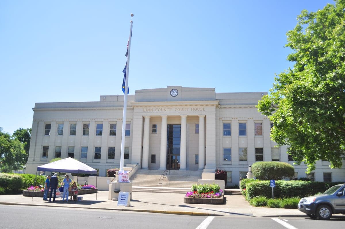
Photo: Wikipedia
Strategic Assessment of Linn County
Workable tactical position. Some exposure to population density or targets, but generally defensible in a crisis.
What does the Strategic Assessment tell us?
Our Strategic Assessment grades tactical survivability of an area. Major population centers, military targets, fallout zones, natural disasters, and border exposure all drive risk — lower exposure means a more defensible position in a crisis.
This is heavily inspired by Joel Skousen's Strategic Relocation book. Highly recommended you checkout the book ($)What does this tell us?
Our Strategic Assessment grades tactical survivability of an area. Major population centers, military targets, fallout zones, natural disasters, and border exposure all drive risk — lower exposure means a more defensible position in a crisis.
This is heavily inspired by Joel Skousen's Strategic Relocation book. Highly recommended you checkout the book ($)Strategic Pillars

Key Distances
Strategic Assessment Analysis
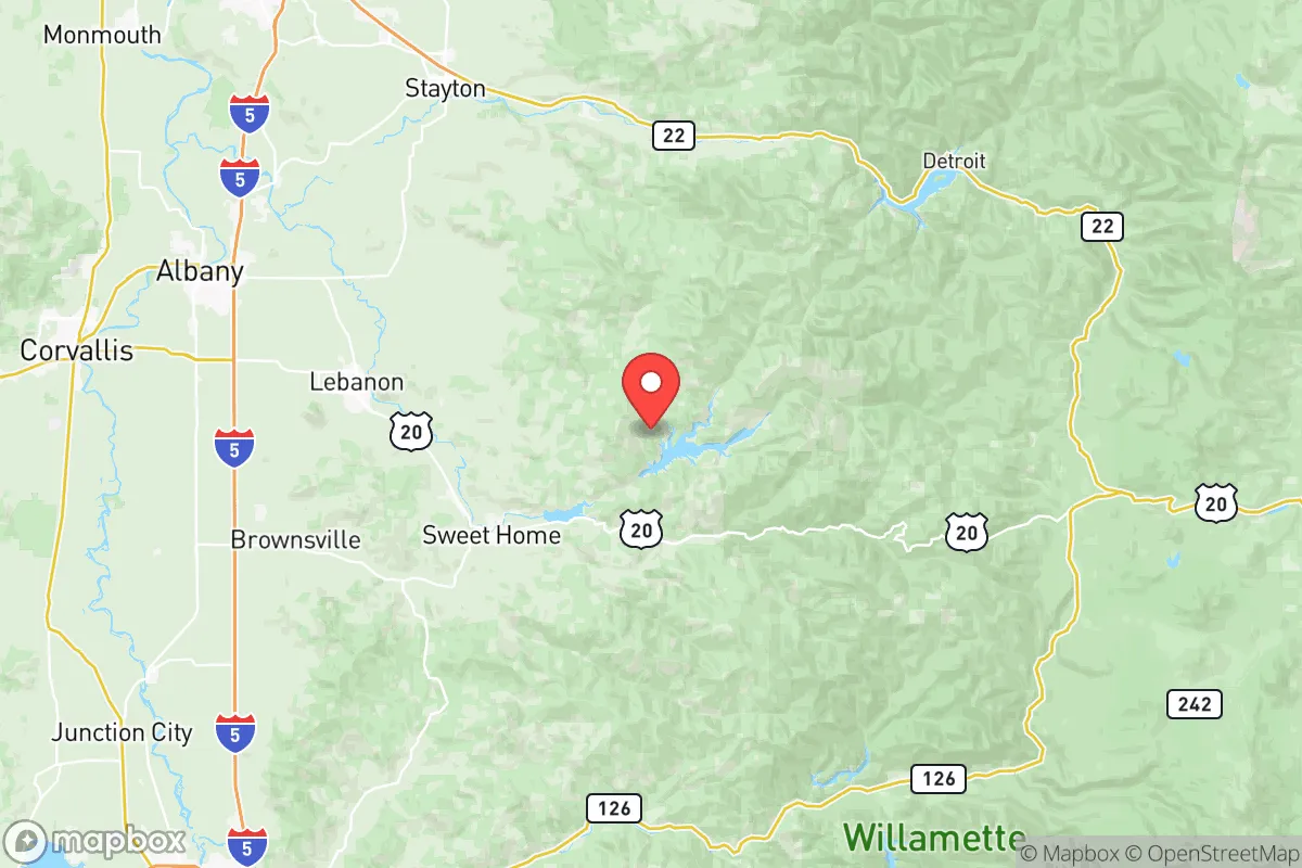
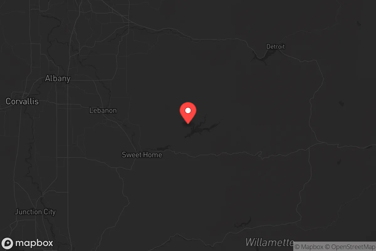
Linn County, Oregon, sits in a sweet spot that few people outside the Pacific Northwest have on their radar: close enough to the Willamette Valley’s economic engine to keep a job and a supply chain, but far enough from Portland’s urban core to dodge the worst of a cascading crisis. With a population hovering around 130,000 and a land area that stretches from the Cascade foothills to the fertile valley floor, this county offers a blend of agricultural self-sufficiency, water abundance, and low population density that makes it a serious contender for anyone thinking long-term about resilience. The county seat, Albany, and the largest city, Salem (just across the Marion County line), are within a 30-minute drive, but the real strategic value lies in the smaller towns—Lebanon, Sweet Home, and the rural stretches along the Santiam River—where a relocator can find space, water, and a community that still values self-reliance.
Geographic position and natural advantages for long-term security
Linn County’s geography is its strongest card. The county is wedged between the Cascade Range to the east and the Coast Range to the west, creating a natural funnel for weather patterns that keep the region green year-round. The Willamette River runs through the western edge, and the Santiam River cuts across the middle, providing surface water that is both plentiful and, critically, not dependent on deep aquifers that could be compromised in a prolonged grid-down scenario. The Cascade foothills offer elevation, timber, and defensible terrain—places like the town of Cascadia and the area around Foster Lake give a relocator options for bug-out locations that are still within a reasonable drive of supplies. The county’s position also means it’s shielded from the worst of a Cascadia Subduction Zone tsunami; the Coast Range absorbs the initial impact, and the valley floor is high enough to avoid the kind of flooding that would devastate coastal communities like Newport or Lincoln City. For a conservative-leaning relocator, this is about as close to a natural fortress as you get in the Pacific Northwest without going full-off-grid in Idaho.
Risks, exposures, and proximity to fallout-relevant landmarks
No place is without risk, and Linn County has a few that demand attention. The most obvious is the Cascadia Subduction Zone earthquake—a magnitude 9.0 event would rattle the entire region, and while Linn County is not on the coast, the shaking will be severe. The Santiam River corridor, especially around Lebanon and Sweet Home, could see liquefaction in low-lying areas, and bridges across the Willamette and Santiam could fail, isolating parts of the county. That said, the risk is lower than in Portland or the I-5 corridor through Salem, where the soil is softer and the infrastructure is more brittle. On the man-made side, the county is not near any major military bases—the closest is Joint Base Lewis-McChord near Tacoma, about 150 miles north—which is a double-edged sword: no immediate target value, but also no nearby military support in a crisis. There are no nuclear power plants, no major refineries, and no large ports in Linn County. The closest fallout-relevant landmarks are the Port of Portland (about 70 miles north) and the Bonneville Dam on the Columbia River (about 90 miles northeast), both of which could be secondary targets in a conflict. A relocator should also note the Santiam Pass highway (US-20), which connects the valley to central Oregon—a potential chokepoint for evacuation or supply movement if things go sideways. The overall exposure is moderate, but the lack of high-value industrial targets within the county itself is a significant plus.
Practical resilience for a relocator: food, water, energy, and defensibility
This is where Linn County shines. Water is the first concern for any prepper, and the county has it in spades. The Santiam and Willamette rivers, plus numerous creeks and lakes like Foster Lake and Green Peter Reservoir, provide surface water that can be filtered or boiled. The annual rainfall is around 40-50 inches, meaning rainwater catchment is viable for most of the year. Food production is equally strong: the Willamette Valley is some of the most fertile soil in the country, and Linn County is home to a mix of small farms, orchards, and livestock operations. The Lebanon Farmers Market and the Albany Saturday Market are indicators of a local food culture that could scale up quickly if supply chains falter. For energy, the county benefits from the Bonneville Power Administration’s hydroelectric grid, but a relocator should plan for solar or micro-hydro if they’re off the main lines. The timber industry is still active in the eastern part of the county, providing a local source of fuel and building material. Defensibility is a mixed bag: the valley floor is open and hard to secure, but the foothills around Sweet Home and Cascadia offer terrain that can be monitored and controlled with a small group. The population density is low enough that a relocator can find a property with a good field of fire and limited road access, but high enough that you’re not completely isolated from neighbors who share your values. The county’s political leanings are a practical advantage—Linn County voted for Trump in 2020 and 2024, and the local culture is more “live and let live” than the coastal cities, which means fewer conflicts over things like firearms, homeschooling, or building codes in unincorporated areas.
The overall strategic picture for Linn County is one of balanced resilience. It’s not a remote bunker in the mountains, and it’s not a suburban subdivision that will turn into a refugee camp overnight. It’s a working landscape with real resources—water, soil, timber, and a population that still knows how to use them. The risks from earthquakes and proximity to Portland are real, but they are manageable with proper planning, especially if you choose a property east of I-5 and above the floodplain. For a conservative relocator who wants to be prepared for civic unrest, supply chain collapse, or a major disaster, Linn County offers a rare combination of access and security. The key is to get there before the rest of the country figures it out.
* Values derived from national, state, county, city and local statistics and may differ in a specific area. Last updated: 2026-06-02T03:31:09.000Z
Narrative content on this page is AI-generated and may contain mistakes. Verify any details that matter before acting on them.
ReloMaps may earn a commission from affiliate links at no extra cost to you.