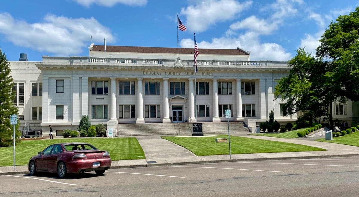
Photo: Wikipedia
Strategic Assessment of Douglas County
Workable tactical position. Some exposure to population density or targets, but generally defensible in a crisis.
What does the Strategic Assessment tell us?
Our Strategic Assessment grades tactical survivability of an area. Major population centers, military targets, fallout zones, natural disasters, and border exposure all drive risk — lower exposure means a more defensible position in a crisis.
This is heavily inspired by Joel Skousen's Strategic Relocation book. Highly recommended you checkout the book ($)What does this tell us?
Our Strategic Assessment grades tactical survivability of an area. Major population centers, military targets, fallout zones, natural disasters, and border exposure all drive risk — lower exposure means a more defensible position in a crisis.
This is heavily inspired by Joel Skousen's Strategic Relocation book. Highly recommended you checkout the book ($)Strategic Pillars

Key Distances
Strategic Assessment Analysis
Douglas County, Oregon, presents a compelling strategic option for relocation-minded individuals and families who prioritize resilience, self-sufficiency, and a buffer from the vulnerabilities of major metropolitan centers. Its position in the Umpqua Valley, roughly midway between the Portland metro area and the California border, offers a blend of remote access to critical resources and a degree of geographic insulation that is rare on the West Coast. For a reader weighing disaster readiness and long-term stability, this county’s mix of natural advantages, practical infrastructure, and manageable risk profile warrants a serious look.
Geographic position and natural advantages for long-term stability
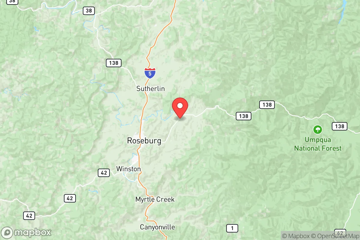
Douglas County’s primary strategic asset is its location within the Umpqua River Basin, a region defined by the confluence of the North and South Umpqua Rivers near the county seat of Roseburg. This watershed provides a reliable, year-round freshwater supply—a foundational element for any resilience plan. The county is flanked by the Coast Range to the west and the Cascade Range to the east, creating a natural barrier that limits easy access from major population centers. The nearest large city, Eugene, is roughly 70 miles north, while the Portland metro area is about 180 miles away. This distance is significant: it places Douglas County outside the immediate fallout zone of a major urban disaster, whether natural or man-made. The terrain itself is a mix of forested hills, river valleys, and agricultural bottomlands, offering a variety of microclimates and defensible positions. The Umpqua National Forest, which covers much of the eastern portion of the county, provides a vast, low-density buffer zone. Towns like Winston and Sutherlin sit in the valley, offering more accessible land for homesteading, while communities like Canyonville and Glide are tucked into the foothills, providing greater seclusion. The county’s moderate climate—with mild, wet winters and warm, dry summers—supports year-round food production and reduces the energy demands of extreme temperature swings, a practical advantage over many inland or high-desert locations.
Risks, exposures, and proximity to fallout-relevant landmarks
No location is without risk, and Douglas County has specific exposures that a strategic relocator must weigh. The most immediate natural threat is wildfire. The 2020 Archie Creek Fire and the 2021 Jack Fire burned tens of thousands of acres in the eastern part of the county, demonstrating that the forested interface is a real danger zone. Properties in the wildland-urban interface (WUI) near Glide or Idleyld Park require serious fire mitigation—defensible space, metal roofs, and a reliable water source for firefighting. The county also sits in a seismically active region; the Cascadia Subduction Zone could produce a magnitude 9.0 earthquake, which would likely cause significant damage to older infrastructure, particularly bridges and water systems in the valley. However, the county’s low population density (roughly 112,000 people across 5,000 square miles) means that a quake’s impact would be less catastrophic than in a dense urban area. From a man-made risk perspective, Douglas County’s key exposure is its proximity to the Portland metro area and the Willamette Valley, which contain major industrial targets, including chemical plants, refineries, and the Port of Portland. A major event in Portland would likely trigger a significant refugee flow south along Interstate 5, which runs directly through Roseburg, Winston, and Canyonville. This is the single greatest strategic vulnerability: the county’s main transportation corridor is also its primary vector for population influx during a crisis. Additionally, the county is home to the Roseburg Forest Products mill complex, a large industrial facility that, while economically vital, could be a secondary target or a source of hazardous materials in a worst-case scenario. The Umpqua River itself, while a water asset, also presents a flood risk in low-lying areas near the river’s course, particularly in the Roseburg urban growth boundary.
Practical resilience for a relocator: food, water, energy, and defensibility
For a family or individual serious about self-sufficiency, Douglas County offers a strong baseline. The Umpqua Valley is a productive agricultural region, with a growing network of small farms, orchards, and vineyards. The county’s agricultural extension service and local seed libraries support a culture of home gardening and food preservation. The presence of the Umpqua Community College in Roseburg provides a local hub for skills training, including sustainable agriculture and emergency medical training. Water access is a standout advantage: the Umpqua River system is perennial, and many rural properties have access to wells or surface water rights. However, well depth and water quality vary significantly by location, so a buyer must verify water availability before purchase. Energy resilience is mixed. The county is served by the Douglas Electric Cooperative and Pacific Power, with a grid that is moderately reliable but vulnerable to ice storms and wildfire-related outages. Solar potential is good, particularly in the southern and eastern parts of the county, where summer sun is abundant. Wood heating is common and practical, given the county’s timber resources, but requires proper stove installation and a steady supply of seasoned firewood. Defensibility is a function of terrain and layout. The valley floor is open and accessible, while the foothills and forested areas offer natural chokepoints and limited road access. Properties on dead-end roads or in the Glide or Canyonville areas provide greater security but also longer evacuation routes. The county’s law enforcement presence is modest—the Douglas County Sheriff’s Office covers a vast area with limited deputies—so community-based security and neighborhood watch networks are a practical necessity. The county’s gun culture is strong, with a high rate of firearm ownership and a supportive legal environment for self-defense, which aligns with the values of a conservative-leaning audience.
The overall strategic picture for Douglas County is one of calculated trade-offs. It offers a genuine buffer from the worst of urban collapse scenarios, a robust natural resource base, and a community that values self-reliance. The primary risks—wildfire, earthquake, and the potential for refugee influx along I-5—are manageable with proper planning, property selection, and community engagement. For a relocator who is willing to invest in fire mitigation, secure a reliable water source, and build local relationships, Douglas County provides a defensible, resource-rich environment that is far more resilient than most suburban or exurban options on the West Coast. It is not a bunker, but it is a solid, livable base for a long-term strategy of preparedness and independence.

* Values derived from national, state, county, city and local statistics and may differ in a specific area. Last updated: 2026-07-30T07:31:56.000Z
Narrative content on this page is AI-generated and may contain mistakes. Verify any details that matter before acting on them.
ReloMaps may earn a commission from affiliate links at no extra cost to you.

