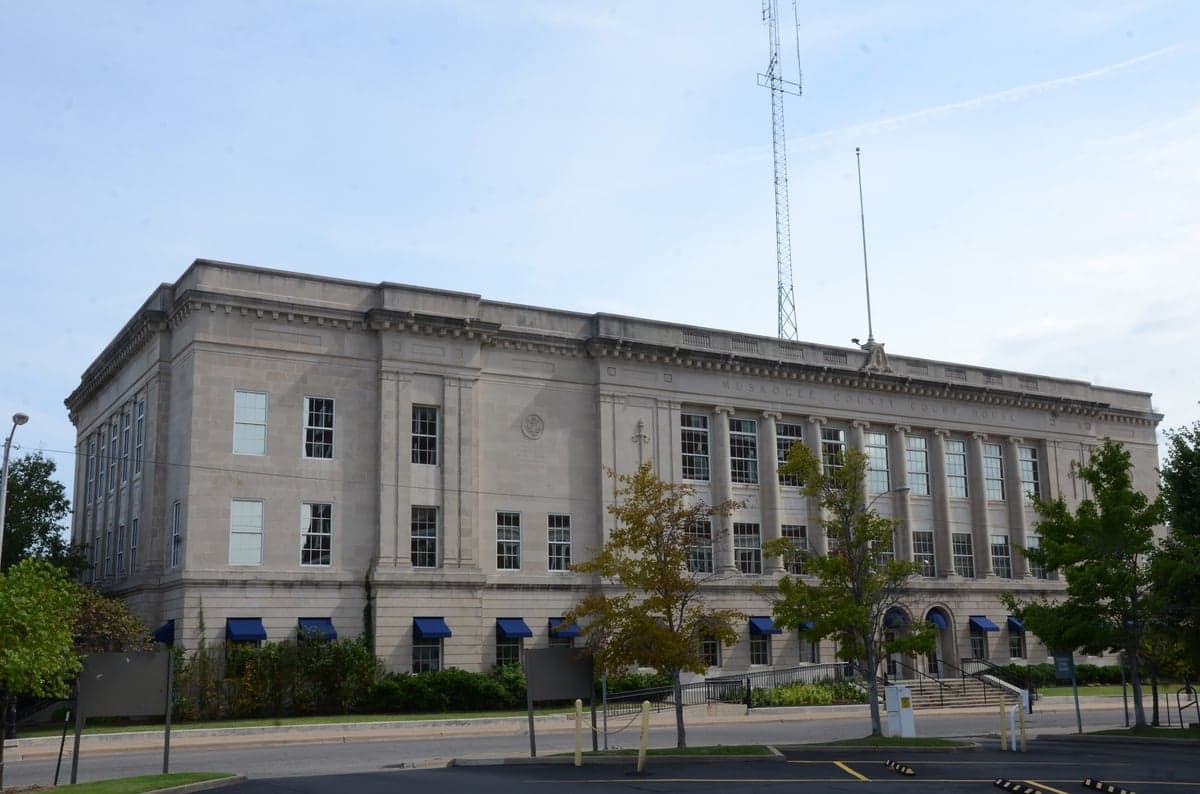
Photo: Wikipedia
Strategic Assessment of Muskogee County
Workable tactical position. Some exposure to population density or targets, but generally defensible in a crisis.
What does the Strategic Assessment tell us?
Our Strategic Assessment grades tactical survivability of an area. Major population centers, military targets, fallout zones, natural disasters, and border exposure all drive risk — lower exposure means a more defensible position in a crisis.
This is heavily inspired by Joel Skousen's Strategic Relocation book. Highly recommended you checkout the book ($)What does this tell us?
Our Strategic Assessment grades tactical survivability of an area. Major population centers, military targets, fallout zones, natural disasters, and border exposure all drive risk — lower exposure means a more defensible position in a crisis.
This is heavily inspired by Joel Skousen's Strategic Relocation book. Highly recommended you checkout the book ($)Strategic Pillars

Key Distances
Strategic Assessment Analysis
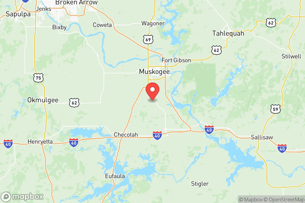
Muskogee County, Oklahoma, offers a compelling strategic position for those prioritizing resilience and self-sufficiency, balancing proximity to regional infrastructure with a buffer from the highest-risk urban and industrial zones. Located in the Green Country region of eastern Oklahoma, the county sits roughly 45 miles southeast of Tulsa and about 140 miles northeast of Oklahoma City, placing it outside the immediate blast and fallout zones of those major metropolitan areas while still providing access to their resources. The county seat, Muskogee, anchors a population of roughly 70,000 residents, offering a small-city base with rural surroundings that support a relocation strategy focused on preparedness and long-term stability.
Geographic position and natural advantages for long-term stability
Muskogee County’s geography provides several inherent resilience advantages. The area lies within the Arkansas River Valley, with the Arkansas River itself forming part of the county’s northern border. This water source is significant for both agricultural irrigation and potential emergency water supply. The county is also home to Fort Gibson Lake and the Verdigris River, which feed into the McClellan-Kerr Arkansas River Navigation System. This navigable waterway connects the county to the Mississippi River and the Gulf of Mexico, providing a strategic logistical corridor for moving goods even if overland routes are disrupted. The terrain is a mix of rolling hills, hardwood forests, and fertile bottomlands, offering natural defensibility and resources for subsistence. The region’s moderate climate, with four distinct seasons and average annual rainfall around 45 inches, supports year-round agriculture and reduces the risk of extreme drought compared to western Oklahoma. The county’s position away from major fault lines also minimizes earthquake risk, a consideration for long-term structural stability.
Risk exposures, fallout proximity, and man-made hazards to consider
While Muskogee County avoids the highest-density targets, it is not without risk exposure. The most significant man-made hazard is the Port of Muskogee, an inland port on the McClellan-Kerr system that handles industrial goods, including chemicals and fertilizers. A major incident at the port could create localized contamination, but its scale is far smaller than the refinery corridors of Houston or the petrochemical complexes along the Gulf Coast. The county also lies within 100 miles of Tinker Air Force Base near Oklahoma City and Vance Air Force Base near Enid, both potential military targets in a conflict scenario. However, prevailing wind patterns in the region generally move from south to west, meaning fallout from a strike on Tulsa (45 miles northwest) would likely disperse away from Muskogee County under typical conditions. The county’s own industrial footprint includes a few smaller manufacturing plants and a coal-fired power plant, but nothing approaching the concentration of targets found in the Dallas-Fort Worth metroplex or the Houston Ship Channel. Natural disaster risks include tornadoes, which are a reality across Oklahoma, and occasional flooding along the Arkansas River and its tributaries. The county has experienced significant floods in 2019 and 2023, so relocators should avoid low-lying properties near the river and verify flood zone designations before purchasing land.
Practical resilience for a relocator: food, water, energy, and defensibility
For a relocator focused on self-sufficiency, Muskogee County offers strong practical foundations. Food production is viable: the county has rich alluvial soils and a long growing season (roughly 210 frost-free days). Local farmers’ markets in Muskogee and smaller communities like Warner and Porum provide access to fresh produce, and the surrounding rural areas support livestock grazing. The county’s agricultural extension office offers resources for small-scale farming and gardening. Water access is a major advantage: the Arkansas River, Fort Gibson Lake, and numerous smaller creeks and ponds provide surface water sources. Groundwater is also available through wells, with the county sitting atop the Arkansas River Valley aquifer. Relocators should budget for well drilling and water testing, as some areas have naturally occurring minerals like iron and arsenic. Energy resilience is moderate: the county is served by the Grand River Dam Authority, which provides electricity from hydroelectric and natural gas sources. The Muskogee Generating Station, a natural gas plant, adds local generation capacity. Solar potential is good, with the region averaging 5.2 peak sun hours per day, making off-grid solar systems a realistic option. Wood heating is also feasible given the forested terrain. Defensibility is aided by the county’s layout: the Arkansas River and its bluffs create natural chokepoints, and the rural road network offers multiple egress routes away from population centers. The county’s low population density (roughly 70 people per square mile) reduces competition for resources in a crisis. However, the presence of the Muskogee County Regional Airport and the port means the area is not completely off the grid, which is a trade-off for the logistical access they provide.
The overall strategic picture for Muskogee County is one of balanced resilience: it avoids the highest-risk urban and industrial targets while retaining access to critical infrastructure and natural resources. The county’s water abundance, agricultural potential, and moderate climate make it a viable long-term relocation option for those prioritizing self-sufficiency. The primary trade-offs are the tornado risk, which is manageable with proper shelter construction, and the proximity to Tulsa and its associated military targets, which is a consideration but not a disqualifying one given prevailing wind patterns. For a conservative-leaning relocator seeking a community with a strong rural character, lower cost of living, and a realistic path to preparedness, Muskogee County represents a solid strategic choice in the central United States.

* Values derived from national, state, county, city and local statistics and may differ in a specific area. Last updated: 2026-08-04T04:41:29.000Z
Narrative content on this page is AI-generated and may contain mistakes. Verify any details that matter before acting on them.
ReloMaps may earn a commission from affiliate links at no extra cost to you.

