
Photo: Wikipedia
Strategic Assessment of Okemah, OK
Strong survivability profile. Good buffer from population centers, with manageable environmental and tactical risks.
What does the Strategic Assessment tell us?
Our Strategic Assessment grades tactical survivability of an area. Major population centers, military targets, fallout zones, natural disasters, and border exposure all drive risk — lower exposure means a more defensible position in a crisis.
This is heavily inspired by Joel Skousen's Strategic Relocation book. Highly recommended you checkout the book ($)What does this tell us?
Our Strategic Assessment grades tactical survivability of an area. Major population centers, military targets, fallout zones, natural disasters, and border exposure all drive risk — lower exposure means a more defensible position in a crisis.
This is heavily inspired by Joel Skousen's Strategic Relocation book. Highly recommended you checkout the book ($)Strategic Pillars

Key Distances
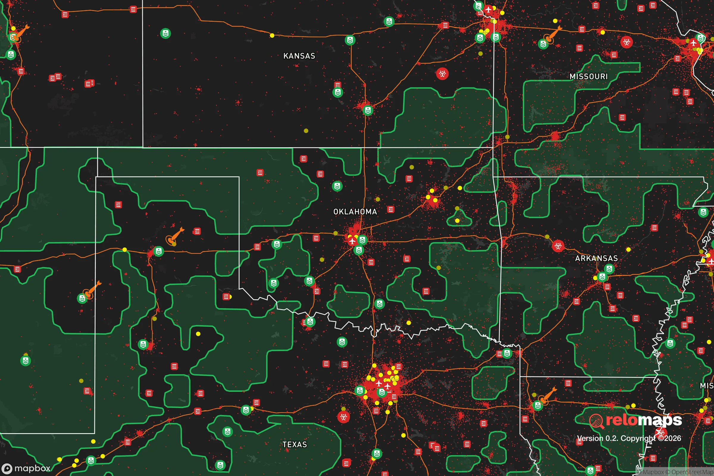
Regional Safe Places
Below is our recommended "safe zones" in Oklahoma and the surrounding area based on our strategic heuristics. For most people, it's unrealistic to live in a “safe zone” full-time due to work, family or other personal reasons. They tend to be more rural. However, many of these areas are perfect for second homes and retreat properties that double as a vacation home or even a short-term rental.
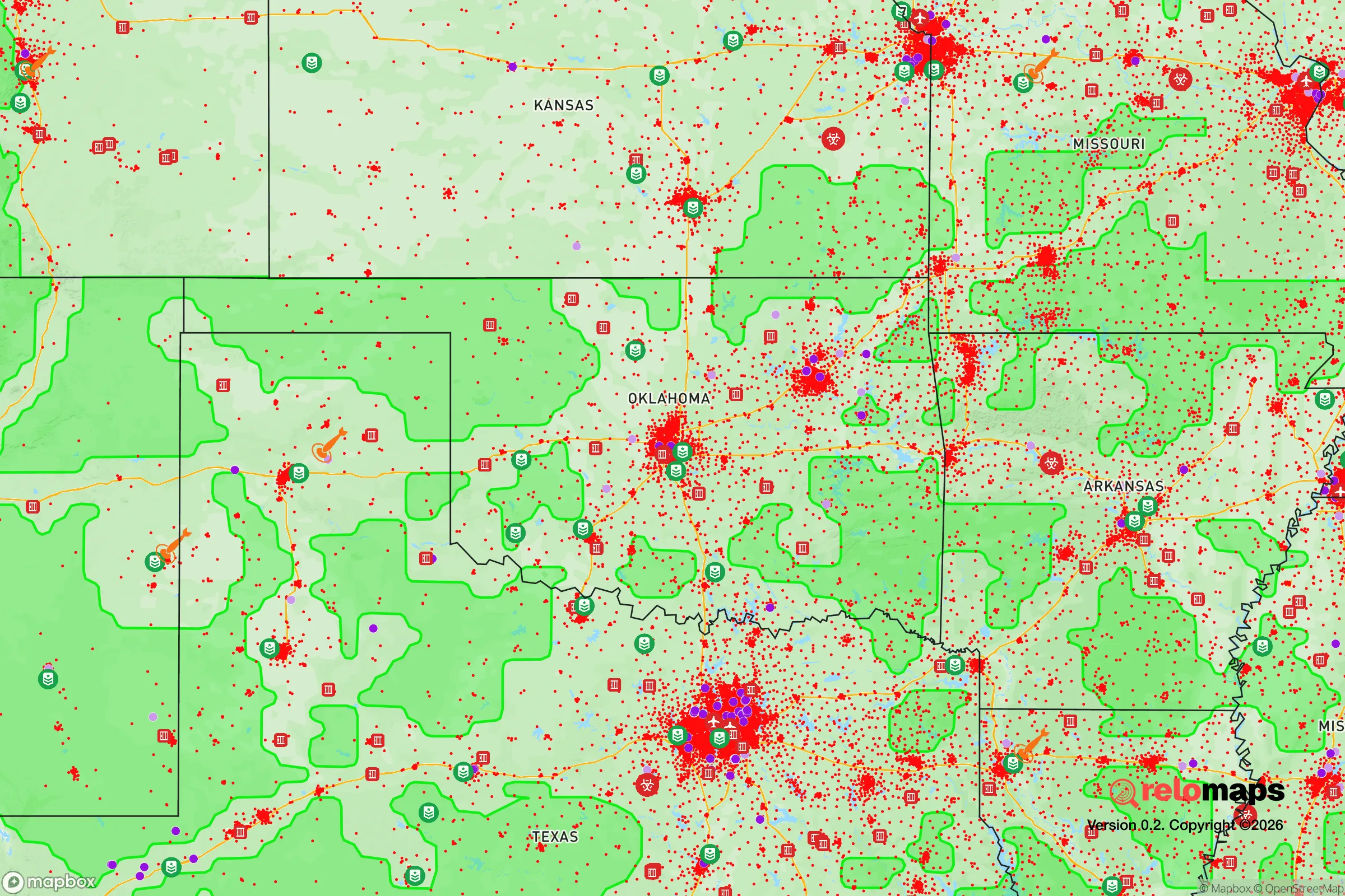
Important Note: For informational purposes only. This does not mean nothing bad ever happens in the green zones. Please use common sense. This is based on public data and modeled with AI. We tried to take a conservative approach but mistakes happen. We update this regularly as new information becomes available.
Solar Generator Recommendations
Backup power matters more here than in safer locations. We've picked three solar generators across budgets and capacity tiers — start with the budget unit if you only need a few essentials, or step up if you want to run a fridge and HVAC for days at a time.

Jackery Portable Power Station Explorer 300
Budget OptionPower on the Go: Weighing only 11 lbs, it's convenient to set up and store with book-sized foldable solar panels

BLUETTI Portable Power Station AC180
Designed for both indoor and outdoor scenarios, AC180 is highly capable as it has a robost capacity and continuous output power.

EF ECOFLOW DELTA Pro Ultra Power Station
Upgraded PickEcoFlow DELTA Pro Ultra is a whole-home energy system designed to grow with your family. Integrated with the Smart Home Panel 2, it scales to meet your evolving energy needs — keeping your home powered, intelligent, and secure through every stage of life.
We earn a commission, at no additional cost to you.
Strategic Assessment Analysis
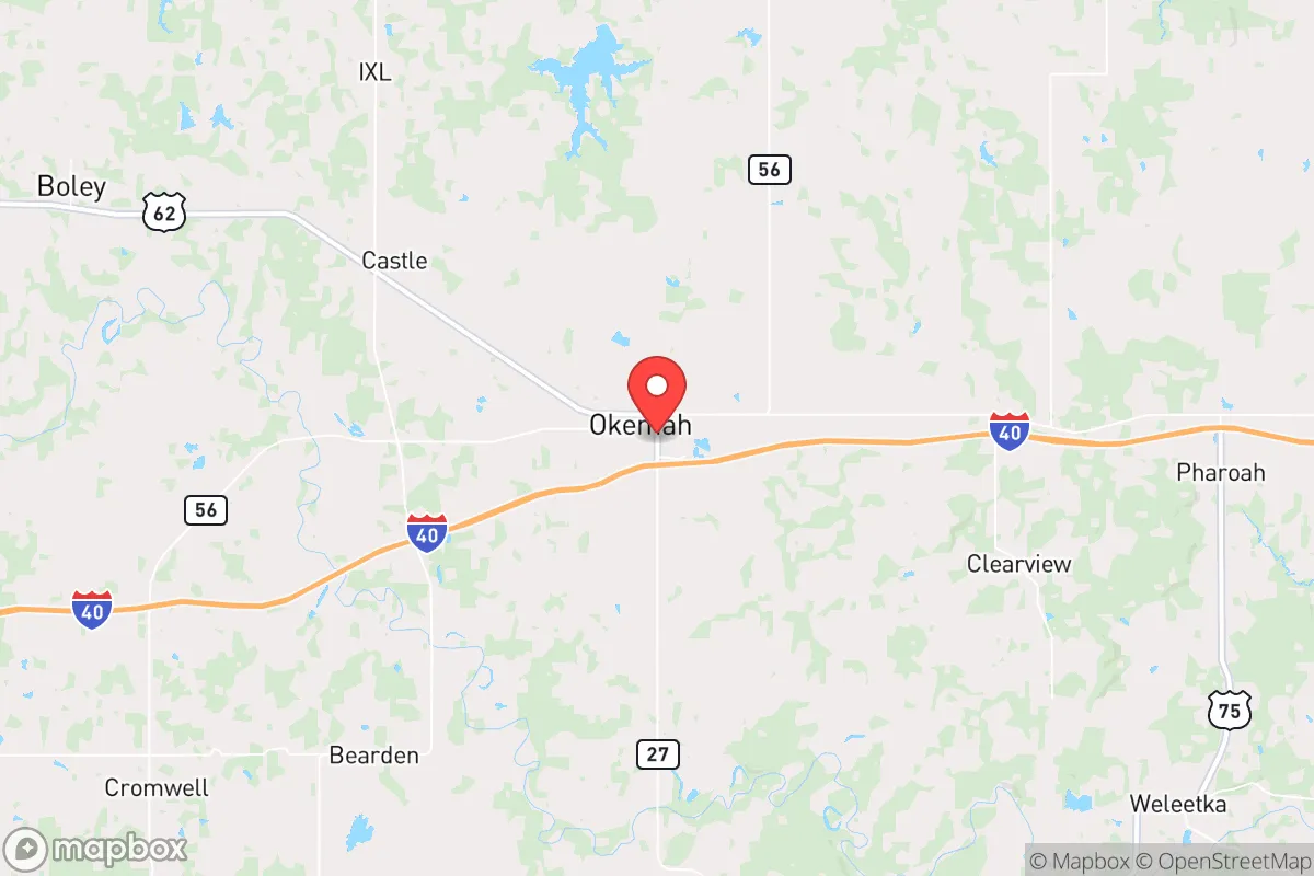
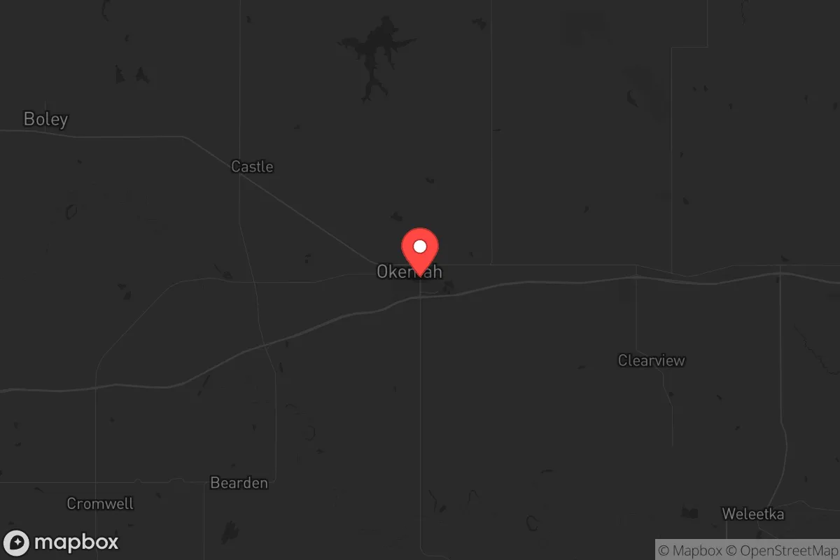
Okemah, Oklahoma, offers a strategic relocation option for those prioritizing resilience and self-sufficiency, anchored by its position in the rural heart of the state roughly 60 miles east of Oklahoma City. This distance places it beyond the immediate blast and fallout zones of a major metropolitan target, while still providing access to regional supply chains and medical infrastructure. The town’s location along Interstate 40 and its proximity to the North Canadian River create a natural buffer against the chaos of urban collapse, making it a viable hub for those seeking to weather civic unrest or large-scale disasters without complete isolation.
Geographic position and natural advantages for long-term survival
Okemah sits in Okfuskee County, a sparsely populated area with a population density of roughly 18 people per square mile, which drastically reduces the risk of resource competition during a crisis. The surrounding landscape is a mix of rolling hills, oak forests, and prairie, providing ample cover and natural resources for hunting, foraging, and timber. The North Canadian River runs just south of town, offering a reliable surface water source that can be treated or diverted for drinking and irrigation, a critical asset if municipal systems fail. The region’s climate is temperate, with hot summers and mild winters, allowing for year-round gardening and livestock management without extreme weather events that would strain off-grid setups. The area’s low seismic and hurricane risk further enhances its stability, as Oklahoma’s primary natural threat—tornadoes—can be mitigated with a well-built storm shelter or basement, which many rural properties already include.
Risks, exposures, and proximity to fallout-relevant landmarks
While Okemah’s distance from Oklahoma City (60 miles) and Tulsa (70 miles) reduces direct nuclear blast risk, it is not immune to fallout patterns. Prevailing winds from the west could carry radioactive particles from a strike on Oklahoma City’s Tinker Air Force Base or the city’s energy infrastructure, though the 60-mile buffer and the area’s rolling terrain would significantly dilute concentrations. More immediate concerns include the town’s proximity to Interstate 40, a major east-west corridor that could become a chokepoint for refugees fleeing urban centers during a collapse. The nearby Okmulgee Lake and Lake Eufaula (20 miles east) are potential targets for sabotage or contamination, though their rural nature lowers their strategic value. The biggest risk is the town’s reliance on a single major highway for supply lines; a bridge failure or blockade on I-40 could isolate the area, making pre-positioned supplies and alternative routes (e.g., State Highway 56 or 62) essential for any relocator’s plan.
Practical resilience for a relocator: food, water, energy, and defensibility
Okemah’s agricultural base is a strong foundation for self-sufficiency. The surrounding county has over 1,200 farms, with cattle, hay, and row crops dominating, meaning local food production is already established and can be tapped through direct relationships with farmers or cooperative arrangements. The town’s municipal water comes from the North Canadian River and local wells, but a relocator should plan for a private well or rainwater catchment system, as rural properties often have access to groundwater at depths of 50-200 feet. Energy resilience is achievable through solar panels, which are viable given the region’s 220+ sunny days per year, and backup generators running on propane or diesel, which can be stored in bulk from local suppliers like Okemah’s co-op. Defensibility is aided by the town’s layout: a compact downtown core surrounded by open farmland, with limited entry points via I-40 and two state highways. A small, like-minded community of preppers and homesteaders already exists in the area, often gathering at local gun clubs or through the Okfuskee County Emergency Management office, which runs occasional preparedness workshops. The town’s single hospital, Okemah’s Integris Health facility, is a 25-bed critical access center, adequate for routine care but not for mass casualty events, so a relocator should stock advanced medical supplies and trauma kits.
The overall strategic picture for Okemah is one of balanced opportunity and manageable risk. It offers a sweet spot between rural isolation and urban access, with enough natural resources and community infrastructure to sustain a prepared household through a multi-year disruption. The primary vulnerabilities—fallout drift from a distant strike, refugee flow on I-40, and reliance on a single hospital—are all mitigable with advance planning, such as building a fallout shelter, establishing a neighborhood watch, and stockpiling medical supplies. For the conservative relocator who values self-reliance, community ties, and a low-tax environment (Oklahoma has no state property tax and a flat income tax), Okemah represents a defensible, resource-rich base that can absorb shocks without collapsing into the chaos of a major city. It is not a fortress, but it is a foundation—one that rewards preparation with a high probability of long-term survival and a decent quality of life in the aftermath.
* Values derived from national, state, county, city and local statistics and may differ in a specific area. Last updated: 2026-04-11T19:47:19.000Z
Narrative content on this page is AI-generated and may contain mistakes. Verify any details that matter before acting on them.
ReloMaps may earn a commission from affiliate links at no extra cost to you.