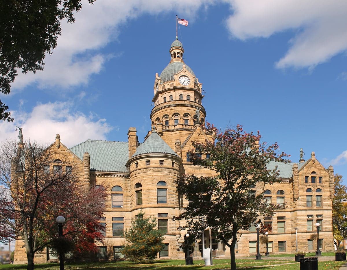
Photo: Wikipedia
Strategic Assessment of Trumbull County
Meaningful friction. Expect exposure to either population pressure, blast zones, or natural disaster risk. Consider buying a retreat property.
What does the Strategic Assessment tell us?
Our Strategic Assessment grades tactical survivability of an area. Major population centers, military targets, fallout zones, natural disasters, and border exposure all drive risk — lower exposure means a more defensible position in a crisis.
This is heavily inspired by Joel Skousen's Strategic Relocation book. Highly recommended you checkout the book ($)What does this tell us?
Our Strategic Assessment grades tactical survivability of an area. Major population centers, military targets, fallout zones, natural disasters, and border exposure all drive risk — lower exposure means a more defensible position in a crisis.
This is heavily inspired by Joel Skousen's Strategic Relocation book. Highly recommended you checkout the book ($)Strategic Pillars

Key Distances
Strategic Assessment Analysis
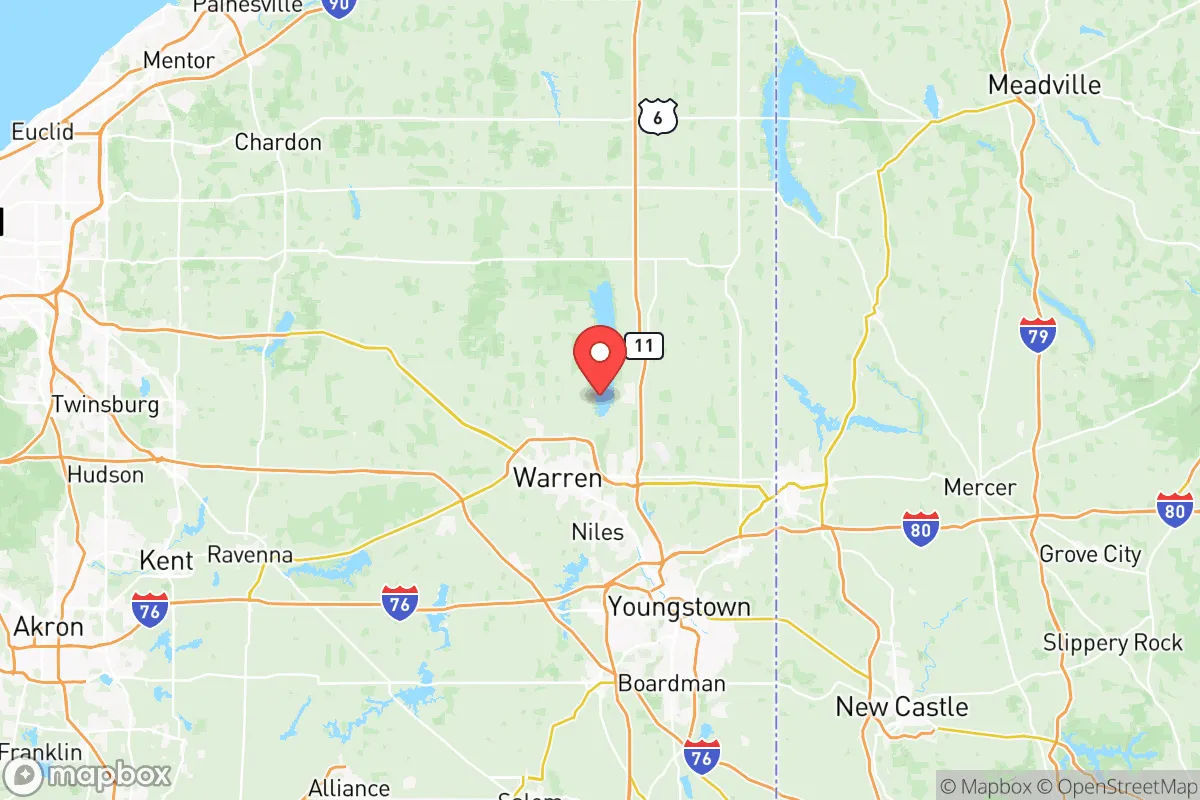
Trumbull County, Ohio, offers a strategic balance of rural self-sufficiency and access to regional infrastructure, making it a noteworthy option for relocation-minded individuals and families who prioritize disaster readiness and long-term stability. Situated in the northeastern corner of the state along the Pennsylvania border, the county sits roughly 60 miles southeast of Cleveland and 15 miles northwest of Youngstown, placing it outside the immediate blast and fallout zones of major metropolitan targets while still within a practical distance for supply runs or medical access. The area’s resilience profile is shaped by its rolling hills, abundant freshwater resources, and a historically industrial backbone that has quietly pivoted toward smaller-scale manufacturing and agriculture, providing a grounded, defensible base for those serious about preparedness.
Geographic position and natural advantages for long-term stability
Trumbull County’s geography is a quiet asset. The county is part of the Appalachian Plateau, characterized by wooded hills, valleys, and numerous small streams that feed into the Mahoning River, which runs through the county seat of Warren and the city of Niles. This terrain offers natural defensibility—elevated ridgelines provide vantage points, while the valleys create chokepoints that would slow any large-scale movement. The area is far from the nation’s most likely nuclear targets, such as New York City or Washington, D.C., each over 300 miles away, and even farther from the missile fields of the Great Plains. The nearest major strategic asset is the Youngstown Air Reserve Station in Vienna, about 10 miles east of Warren, which hosts the 910th Airlift Wing and a C-130 fleet—a potential secondary target but not a primary first-strike priority. The county’s position also places it within a day’s drive of the Great Lakes, specifically Lake Erie 50 miles north, offering an additional freshwater buffer and a potential evacuation route. The local climate, with cold winters and moderate summers, reduces the risk of heat-related infrastructure failures and slows the spread of wildfires, a contrast to more arid western states.
Risks, exposures, and proximity to fallout-relevant landmarks
While Trumbull County avoids the highest-risk zones, it is not without exposure. The most significant man-made risk comes from the Lordstown Energy Center, a natural gas-fired power plant in Lordstown, and the nearby Lordstown Motors industrial complex, which could be secondary targets in a conflict aimed at disrupting energy and manufacturing. The county also sits within 100 miles of the Davis-Besse Nuclear Power Station in Oak Harbor, Ohio, and the Beaver Valley Nuclear Power Plant in Shippingport, Pennsylvania—both are potential sources of radiological fallout in a major accident or attack. Prevailing winds from the west and southwest mean that a plume from Davis-Besse could reach Trumbull County within hours, though the county’s hilly terrain would help disperse contaminants unevenly. The Mahoning River itself is a concern: industrial legacy pollution from steel mills in Warren and Niles has left sediment contamination, and a major flood could resuspend toxins. Flooding is the primary natural risk, with the Mahoning and its tributaries prone to spring thaws and heavy rains, particularly in low-lying areas like downtown Warren and parts of Newton Falls. Tornadoes are possible but less frequent than in the Plains, and the county’s wooded landscape reduces the open-area risk. On the positive side, there are no major oil refineries, chemical weapons depots, or intercontinental ballistic missile silos within the county, lowering the chance of a direct strike.
Practical resilience for a relocator: food, water, energy, and defensibility
For a family or individual serious about self-sufficiency, Trumbull County offers strong fundamentals. Water is abundant: the Mahoning River, Mosquito Creek Lake (a 7,850-acre reservoir in the eastern part of the county), and numerous smaller lakes and ponds provide year-round surface water. Groundwater is accessible via wells in most rural areas, with the average depth around 100-150 feet. The county’s annual rainfall of about 38 inches supports rain catchment systems, and the relatively high water table means springs are common in the hillier sections near Bristolville and Farmington. Food production is viable: the county has over 1,200 farms, many of them small operations growing corn, soybeans, hay, and vegetables, with a strong Amish and Mennonite presence in the southern townships like Southington and Champion. These communities are known for their off-grid skills, including animal husbandry, canning, and blacksmithing, and they represent a resilient social network for a relocator willing to integrate. Local farmers’ markets in Warren, Niles, and Hubbard operate seasonally, and the county’s agricultural extension office offers workshops on food preservation and soil management. Energy is a mixed picture: the grid is reliable but aging, with outages common during winter ice storms. However, the county’s wooded terrain makes wood heat a practical primary or backup option, and the rolling hills offer decent potential for small-scale hydro or solar, though solar yields are lower than in the Southwest. Propane is widely available for off-grid cooking and heating. Defensibility is aided by the county’s layout: the rural townships are connected by a network of two-lane roads and county highways, with few major interstates (only I-80 and I-76 cut through the southern and northern edges, respectively). This makes it easy to avoid choke points, and the wooded hills provide natural cover. The county’s population density is low—about 200 people per square mile in the rural areas—meaning fewer neighbors to compete with for resources in a crisis. The Trumbull County Sheriff’s Office and local police departments are professional but stretched thin, so a relocator should plan for self-defense and community mutual aid rather than relying on rapid law enforcement response.
The strategic picture for Trumbull County is one of quiet viability. It lacks the dramatic natural defenses of a mountain redoubt or the isolation of a remote desert, but it compensates with a combination of freshwater abundance, arable land, and a location that is close enough to urban centers for supply runs but far enough to avoid the worst of a major event. The presence of the Amish community and a working-class culture that values practical skills means a relocator can find like-minded neighbors and local knowledge. The primary downsides are the industrial legacy pollution in the Mahoning River corridor and the proximity to nuclear power plants, but these are manageable with proper planning—such as stockpiling water filters and having a fallout shelter plan. For a family looking to balance preparedness with a normal life, Trumbull County offers a solid foundation: good soil, reliable water, and a community that still remembers how to fix things with their hands. It is not a fortress, but it is a defensible, sustainable base for the long haul.

* Values derived from national, state, county, city and local statistics and may differ in a specific area. Last updated: 2026-07-26T14:39:23.000Z
Narrative content on this page is AI-generated and may contain mistakes. Verify any details that matter before acting on them.
ReloMaps may earn a commission from affiliate links at no extra cost to you.

