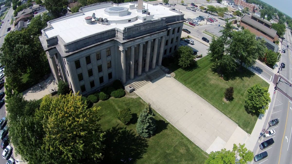
Photo: Wikipedia
Strategic Assessment of Mercer County
Workable tactical position. Some exposure to population density or targets, but generally defensible in a crisis.
What does the Strategic Assessment tell us?
Our Strategic Assessment grades tactical survivability of an area. Major population centers, military targets, fallout zones, natural disasters, and border exposure all drive risk — lower exposure means a more defensible position in a crisis.
This is heavily inspired by Joel Skousen's Strategic Relocation book. Highly recommended you checkout the book ($)What does this tell us?
Our Strategic Assessment grades tactical survivability of an area. Major population centers, military targets, fallout zones, natural disasters, and border exposure all drive risk — lower exposure means a more defensible position in a crisis.
This is heavily inspired by Joel Skousen's Strategic Relocation book. Highly recommended you checkout the book ($)Strategic Pillars

Key Distances
Strategic Assessment Analysis
Mercer County, Ohio, offers a compelling strategic position for relocators prioritizing resilience and self-sufficiency, balancing the quiet stability of the rural Midwest with proximity to critical Great Lakes infrastructure. Located in the far western part of the state, the county is anchored by its seat, Celina, and the larger town of St. Marys, both situated along the expansive Grand Lake St. Marys. The area’s economic and social fabric is notably stable, driven by a strong manufacturing base and a deeply rooted agricultural community, making it a location where long-term preparedness is less a fringe concern and more a practical extension of daily life.
Geographic position and natural advantages for long-term stability
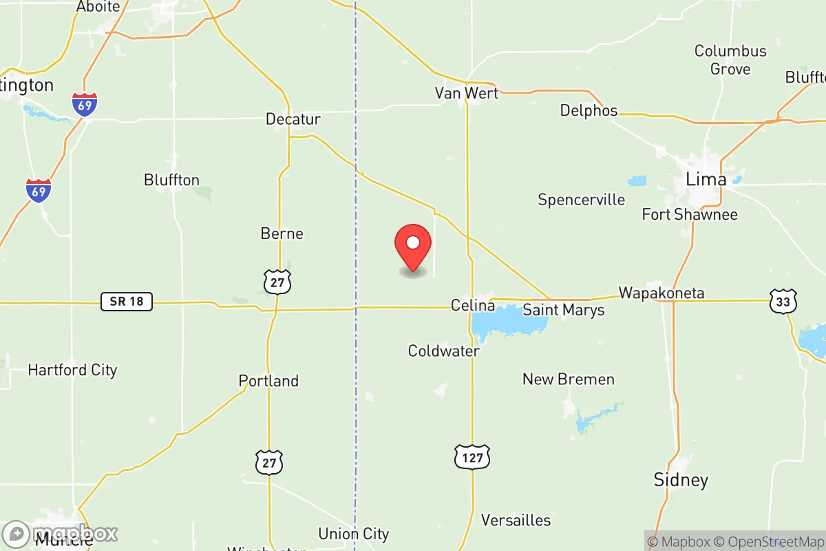
Mercer County sits in a sweet spot of Midwestern geography, far enough from major metropolitan centers to avoid their immediate vulnerabilities but close enough to access their resources when needed. The county is roughly equidistant from Dayton (about 60 miles south), Fort Wayne, Indiana (about 45 miles west), and Toledo (about 70 miles northeast), placing it outside the likely blast or fallout zones of any major urban target. The terrain is predominantly flat, fertile farmland, which is a double-edged sword—excellent for agriculture but offering little in the way of natural defensive cover. The most significant natural asset is Grand Lake St. Marys, a 13,500-acre inland lake that provides a substantial freshwater reservoir. This body of water, along with the numerous smaller lakes and the St. Marys River, gives the county a water security advantage that many inland areas lack. The local climate is typical of the region: cold winters with moderate snowfall, warm summers, and consistent rainfall, which supports robust crop yields and makes the area less prone to the extreme drought or wildfire risks seen in the western U.S.
Risks, exposures, and proximity to fallout-relevant landmarks
While Mercer County is not a primary target, it is not immune to secondary risks. The most significant man-made exposure comes from its location within the broader industrial corridor of the Great Lakes. The county itself hosts several manufacturing facilities, including Crown Equipment Corporation in New Bremen, a major forklift manufacturer, and Honda Transmission Manufacturing in Russells Point (just across the county line in Logan County). These are not high-value strategic targets on the scale of a military base or refinery, but they represent industrial infrastructure that could be affected by a broader disruption. More critically, the county lies within a reasonable fallout plume distance from Wright-Patterson Air Force Base near Dayton, a primary strategic asset. Depending on wind patterns, a strike on Wright-Patterson could deposit fallout across western Ohio, including Mercer County. Additionally, the county is about 100 miles from the Davis-Besse Nuclear Power Station near Toledo and roughly 120 miles from the Fermi 2 Nuclear Plant near Detroit. While these distances provide a safety buffer, a major nuclear incident at either facility could still pose a contamination risk, particularly to water supplies. Natural risks are minimal but include occasional severe thunderstorms, tornadoes (the county is in the eastern edge of Tornado Alley), and winter ice storms that can disrupt power for days. The flat, open landscape also means that any airborne contaminant—whether from a refinery fire or a chemical spill on the nearby I-75 corridor—could travel unimpeded.
Practical resilience for a relocator: food, water, energy, and defensibility
For a relocator focused on self-sufficiency, Mercer County offers strong fundamentals. The agricultural base is a major asset: the county is a top producer of corn, soybeans, and dairy in Ohio, with numerous family farms and local food processors. This means that in a prolonged disruption, local food supply chains would likely hold up better than in urban areas. The presence of Mercer Landmark, a major agricultural cooperative based in Celina, provides a centralized hub for grain storage, feed, and farm supplies. Water access is excellent, with Grand Lake St. Marys and the St. Marys River providing surface water, and the underlying aquifer (part of the Teays River Valley system) offering reliable well water for those who drill. The county's energy grid is served by AES Ohio and Midwest Energy, with natural gas and electricity being generally reliable, though rural areas can experience longer outage times during storms. For off-grid energy, the region's solar potential is moderate (about 4.5 peak sun hours per day), and small-scale wind turbines can be viable given the open terrain. Defensibility is a mixed picture. The flat, open farmland offers little natural cover, but the county's low population density (roughly 40,000 people across 473 square miles) means that a relocator can find a remote property with good lines of sight. The strong community ties in towns like Coldwater and Fort Recovery foster a culture of mutual aid, which is a resilience multiplier. However, the lack of natural barriers means that any large-scale movement of people from nearby cities (Dayton, Lima, or Fort Wayne) could flow into the county along major highways like US-33 and OH-29, potentially overwhelming local resources.
The overall strategic picture for Mercer County is one of quiet, practical resilience. It is not a hardened bunker location, but it offers a sustainable, low-profile base for a family or individual serious about preparedness. The combination of abundant fresh water, strong local food production, a stable manufacturing economy, and a community-oriented culture makes it a solid choice for those looking to balance modern convenience with a backup plan. The primary strategic weakness is its exposure to secondary effects from a major event in the Dayton-Toledo-Fort Wayne triangle, particularly fallout from a strike on Wright-Patterson or a nuclear plant incident. For a relocator willing to invest in a well, a good root cellar, and a reliable generator, and who understands the importance of building relationships with local farmers and the Amish community (which has a significant presence in the area), Mercer County represents a defensible, life-sustaining location in an uncertain future.

* Values derived from national, state, county, city and local statistics and may differ in a specific area. Last updated: 2026-10-15T00:58:47.000Z
Narrative content on this page is AI-generated and may contain mistakes. Verify any details that matter before acting on them.
ReloMaps may earn a commission from affiliate links at no extra cost to you.

