Photo: Wikipedia
Strategic Assessment of Sierra County
Strong survivability profile. Good buffer from population centers, with manageable environmental and tactical risks.
What does the Strategic Assessment tell us?
Our Strategic Assessment grades tactical survivability of an area. Major population centers, military targets, fallout zones, natural disasters, and border exposure all drive risk — lower exposure means a more defensible position in a crisis.
This is heavily inspired by Joel Skousen's Strategic Relocation book. Highly recommended you checkout the book ($)What does this tell us?
Our Strategic Assessment grades tactical survivability of an area. Major population centers, military targets, fallout zones, natural disasters, and border exposure all drive risk — lower exposure means a more defensible position in a crisis.
This is heavily inspired by Joel Skousen's Strategic Relocation book. Highly recommended you checkout the book ($)Strategic Pillars

Key Distances
Strategic Assessment Analysis
Sierra County, New Mexico, offers a compelling strategic profile for those prioritizing resilience and self-sufficiency, balancing significant geographic advantages with real, calculable risks. Its position in the arid Southwest provides natural buffers against many common threats, while its distance from major population centers and high-value targets presents a clear security benefit. For a relocator thinking seriously about disaster readiness, this county demands a clear-eyed assessment of both its defensive strengths and its practical vulnerabilities.
Geographic position and natural defensive advantages
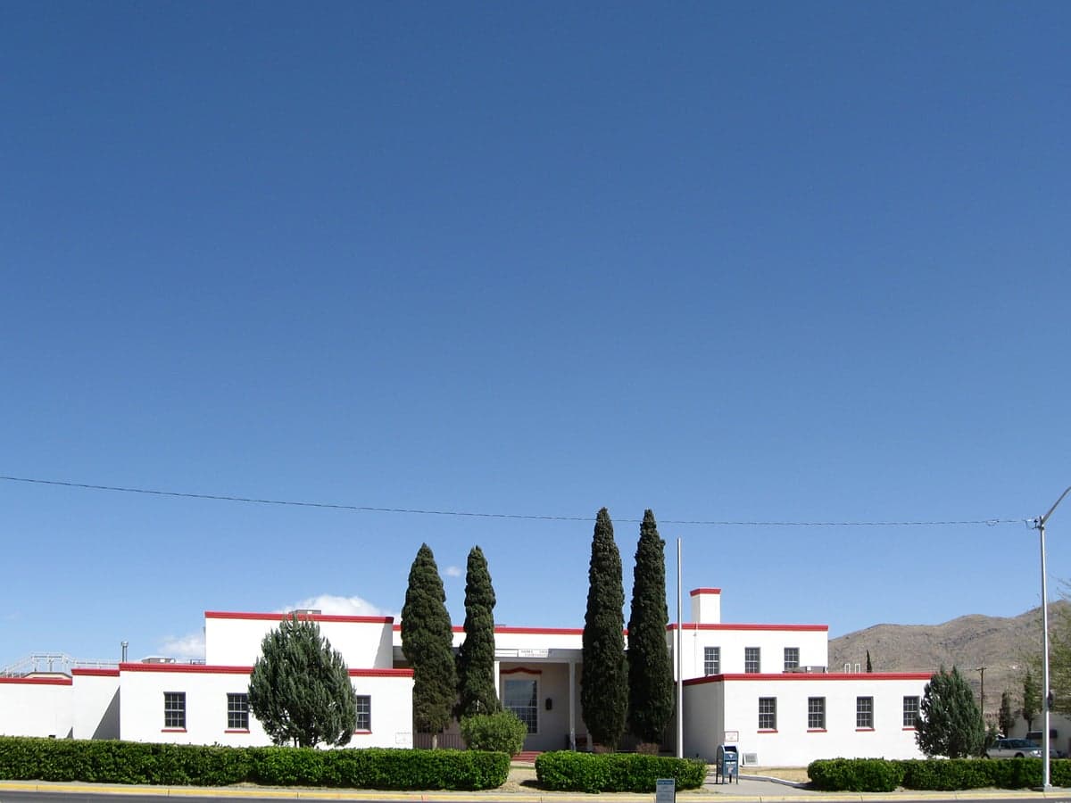
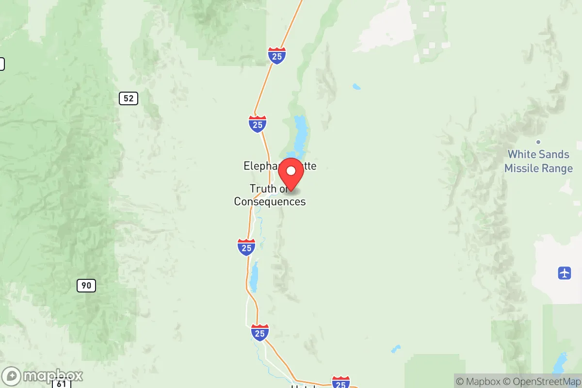
Sierra County sits in south-central New Mexico, anchored by the small city of Truth or Consequences (population roughly 6,000) and the historic town of Hillsboro. The county's defining feature is the Rio Grande, which runs through its western edge, providing a reliable surface water source in an otherwise arid region. The surrounding landscape is a mix of Chihuahuan Desert scrub, mountain foothills, and the Gila National Forest to the west. This terrain offers natural defensibility: the Black Range and Caballo Mountains create rugged, low-population corridors that are difficult to traverse without local knowledge. Elevations range from roughly 4,000 feet in the valley to over 10,000 feet in the mountains, providing diverse microclimates and potential for varied agriculture. The county's low population density—roughly 11,000 people spread over 4,200 square miles—means that in a crisis, competition for resources would be far less intense than in urban or suburban areas. The nearest major city, Las Cruces, is about 90 miles south; Albuquerque is roughly 150 miles north. This distance from large population centers is a significant advantage for those concerned with fallout from a major event, as Sierra County is not near any obvious high-value targets like major military bases, refineries, or ports. The White Sands Missile Range is about 60 miles east, but its primary function is testing, not a strategic target in the same league as a major naval base or refinery complex.
Risks, exposures, and proximity to fallout-relevant landmarks
While Sierra County avoids the highest-risk zones, it is not without exposure. The most significant man-made risk is the WIPP (Waste Isolation Pilot Plant) near Carlsbad, roughly 200 miles southeast. While not an immediate fallout concern, a major incident there could affect regional air and water quality. More directly, the county sits within the Rio Grande Rift, a seismically active zone. While large earthquakes are rare, the region experiences frequent small tremors, and the potential for a moderate event (magnitude 5-6) is non-zero. The primary natural risk is drought and wildfire. The arid climate means water scarcity is a constant concern, and the surrounding national forest and rangeland are prone to large fires, particularly in late spring and summer. The 2013 Silver Fire burned over 130,000 acres in the Gila National Forest just west of the county, demonstrating the scale of threat. Flash flooding is also a risk in the narrow canyons and arroyos after monsoon rains. For a relocator, the key takeaway is that Sierra County's risks are primarily natural and manageable with proper preparation, rather than the acute, cascading risks of a major urban or industrial area. There are no nuclear power plants, major chemical facilities, or large military installations within the county itself. The Trinity Site (the first atomic bomb test) is about 100 miles east, but it is a historical site, not an active threat.
Practical resilience for a relocator: food, water, energy, and defensibility
For someone serious about self-sufficiency, Sierra County presents a mixed but workable picture. Water is the most critical factor. The Rio Grande provides a surface water source, but it is heavily allocated and subject to interstate compacts. Groundwater is available but deep, and drilling a well can cost $10,000-$20,000. Rainwater harvesting is viable, with annual precipitation averaging 10-12 inches, but it requires significant storage capacity. The Elephant Butte Reservoir (just north of Truth or Consequences) is a major regional water storage facility, but its levels have fluctuated dramatically with drought. Food production is limited by the arid climate and short growing season (roughly 150-180 days). Small-scale gardening is possible with irrigation, but large-scale agriculture is not practical without significant investment. The county has a small but active farming community, with some local produce and livestock. Energy is a strength: the region has excellent solar potential, with over 280 sunny days per year. Wind is also viable in some areas. Off-grid solar systems are common, and the county has a number of off-grid homesteads. Defensibility is high due to the low population density and rugged terrain. A well-chosen property in the foothills or mountains offers natural chokepoints and visibility. The local culture is independent and self-reliant, with a strong tradition of hunting, fishing, and small-scale ranching. The Gila National Forest provides a vast, sparsely populated buffer zone to the west, and the Caballo Mountains offer similar cover to the east. The county seat, Truth or Consequences, has a small hospital, a police department, and a sheriff's office, but emergency response times in remote areas can be 30-60 minutes or more. For a relocator, the practical reality is that Sierra County offers a high degree of self-sufficiency potential, but only with deliberate preparation and investment in water infrastructure.
The overall strategic picture for Sierra County is one of a quiet, resilient outpost with manageable risks and significant defensive advantages. It is not a place for someone seeking immediate access to urban amenities or high-paying jobs, but for a relocator prioritizing long-term security, self-sufficiency, and distance from major threats, it ranks well. The key trade-offs are water scarcity and isolation. For a family or individual willing to invest in water storage, solar power, and a modest food production system, the county offers a stable, low-risk environment with a supportive, independent-minded community. The lack of major industrial or military targets within a 100-mile radius is a genuine strategic asset, and the natural terrain provides a level of defensibility that is hard to find in more populated regions. For the conservative-leaning reader thinking seriously about disaster readiness, Sierra County deserves a serious look—not as a perfect refuge, but as a solid, defensible base with realistic challenges and real rewards.

* Values derived from national, state, county, city and local statistics and may differ in a specific area. Last updated: 2026-07-10T04:16:39.000Z
Narrative content on this page is AI-generated and may contain mistakes. Verify any details that matter before acting on them.
ReloMaps may earn a commission from affiliate links at no extra cost to you.

