
Photo: Wikipedia
Strategic Assessment of Santa Fe County
Workable tactical position. Some exposure to population density or targets, but generally defensible in a crisis.
What does the Strategic Assessment tell us?
Our Strategic Assessment grades tactical survivability of an area. Major population centers, military targets, fallout zones, natural disasters, and border exposure all drive risk — lower exposure means a more defensible position in a crisis.
This is heavily inspired by Joel Skousen's Strategic Relocation book. Highly recommended you checkout the book ($)What does this tell us?
Our Strategic Assessment grades tactical survivability of an area. Major population centers, military targets, fallout zones, natural disasters, and border exposure all drive risk — lower exposure means a more defensible position in a crisis.
This is heavily inspired by Joel Skousen's Strategic Relocation book. Highly recommended you checkout the book ($)Strategic Pillars

Key Distances
Strategic Assessment Analysis
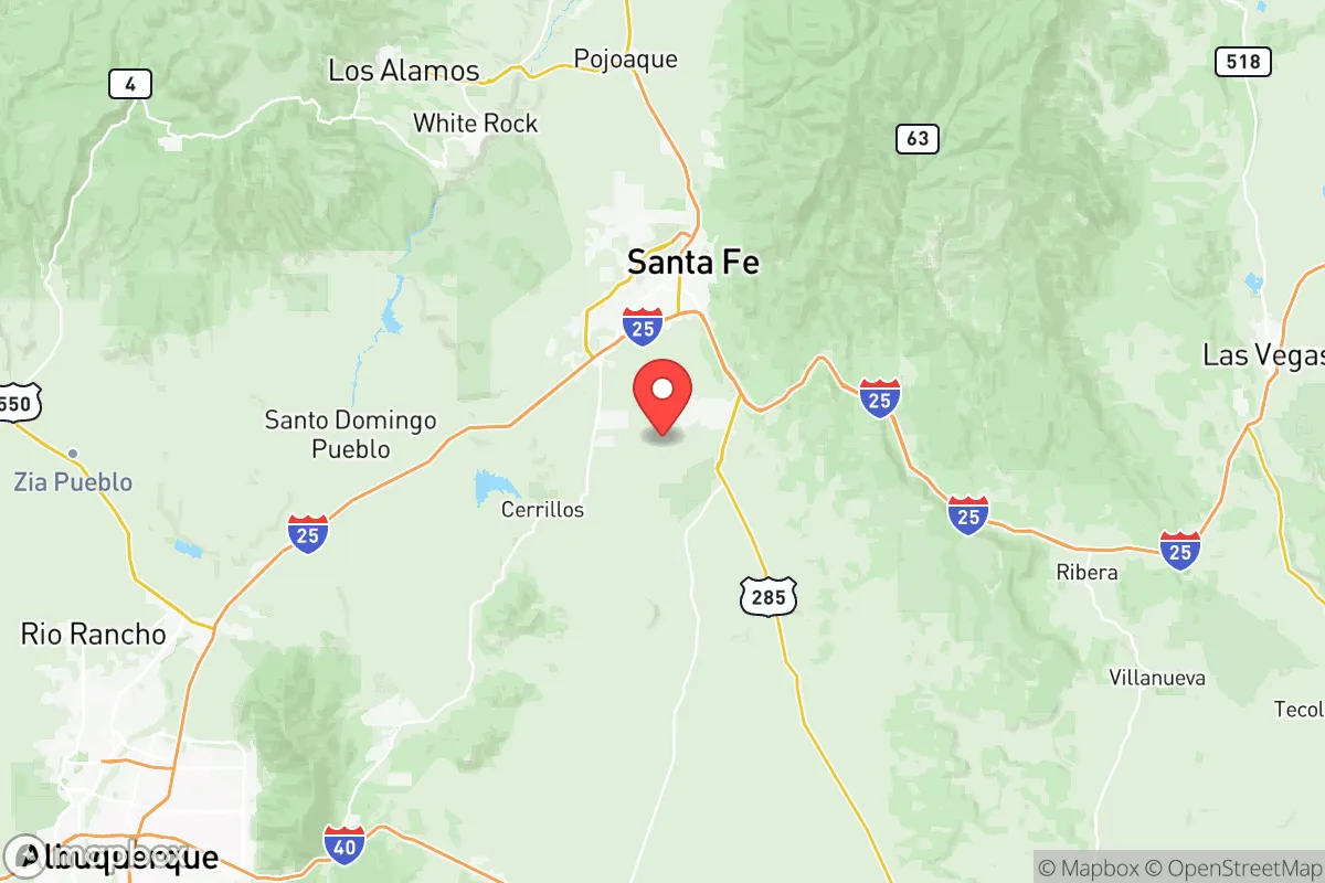
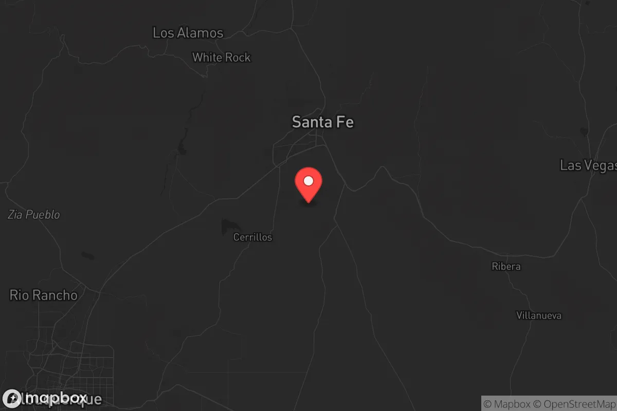
Santa Fe County, New Mexico, offers a compelling mix of high-altitude terrain and resource access for the strategic relocator, but its proximity to Los Alamos National Laboratory—the nation's primary nuclear weapons design facility—introduces a risk profile that demands serious consideration. The county sits roughly 30 miles from Los Alamos and just 60 miles from Albuquerque’s Sandia National Laboratories, placing it within the direct fallout and secondary blast zones of two of the most targetable sites on the continent. For the individual or family prioritizing survival over convenience, Santa Fe County is not a pure haven; it is a layered strategic puzzle with genuine natural advantages weighed against man-made vulnerabilities you cannot ignore.
Geographic position and natural defensive advantages of Santa Fe County
The county’s location in north-central New Mexico provides what preppers call "terrain friction"—the kind of rugged, high-desert landscape that naturally filters movement and buys time. The eastern half of the county rises into the Sangre de Cristo Mountains, with peaks above 12,000 feet that form a natural wall against approach from the Great Plains. The western boundary follows the Rio Grande Gorge in places, a deep cut that prevents easy vehicle access. Elevations in the county range from roughly 5,000 feet near the Rio Grande up to 7,200 feet in Santa Fe city proper, with outlying areas like Edgewood sitting near 6,500 feet. Higher altitude means cooler temperatures, lower humidity, and fewer vector-borne diseases—no small thing when thinking about long-term stability. The Santa Fe National Forest covers roughly 300,000 acres within the county, providing wood, game, and hidden building sites. For a family looking to place a retreat on the backside of a mountain, the terrain offers multiple egress routes east toward the Pecos Wilderness or north toward the Colorado border. That said, the county is not remote. Santa Fe city itself is a population center of nearly 90,000, with a dense downtown, a major hospital (Christus St. Vincent), and the state capitol complex. If you are positioning yourself here, you must be outside the city core, ideally east or north into the mountains, where defensibility is highest and foot traffic drops.
Risks, exposures, and proximity to fallout-relevant landmarks
You cannot overstate the elephant in the room: Los Alamos National Laboratory (LANL) is 30 miles northwest of Santa Fe Plaza. LANL is the primary site for nuclear warhead design and stockpile stewardship. In a conflict scenario—whether a limited nuclear exchange or a major conventional strike—this facility is a Tier-1 target. Ground zero would likely be the lab itself, but prevailing winds from the west and southwest would carry fallout directly over the Santa Fe metropolitan area and into the eastern mountains. If you are within Santa Fe County, you need a fallout plan, including a basement or shielded shelter, potassium iodide stocks, and the ability to stay sealed for at least 72 hours. Beyond nuclear risk, Española, just north of the county line, has periodic drug-related violence that could spill over during civil unrest. The county also holds the Santa Fe Rail Yard and the Lamy Amtrak station, both potential choke points during a crisis—train lines can become routes for looting parties or relief convoys depending on how things shake out. Edgewood, on the I-40 corridor, sits at the junction of major east-west and north-south highways; in a mass evacuation scenario, that junction becomes a funnel for refugees out of Albuquerque. If you are in Edgewood or the southern part of the county, you are effectively in the Albuquerque metro’s spillover zone. For the strategic relocator, the safest zones are east of the Sangre de Cristo crest or north into the Carson National Forest—areas that require dedicated effort to reach from the highway network.
Practical resilience for a relocator: food, water, energy, and defensibility
Water is the first thing a survivalist asks about, and Santa Fe County has both good news and hard limits. The Rio Grande runs the entire western edge of the county, offering surface water that, with proper filtration, is drinkable year-round. Mountain streams from the Sangre de Cristos also provide seasonal flow—creeks like the Santa Fe River run through the city but are heavily appropriated. For a rural property, a well is the only reliable long-term source, and depths vary dramatically: in the high country you might hit water at 200–400 feet, but in the plains near Edgewood you can go 600+ feet at $30–$50 per foot. That is a capital investment you need to make before the crisis, not after. Food resilience is harder. The growing season at 7,000 feet is short—roughly 120 frost-free days—meaning you are limited to cold-hardy crops like potatoes, beans, squash, and some greens. You will not be growing corn or tomatoes in bulk without a greenhouse. Game includes mule deer, elk (east of the crest), and turkey, but hunting pressure near Santa Fe is high. For energy, Santa Fe County averages over 300 sunny days per year, making solar a strong play. However, winter snow can cover panels for days, so you need battery storage and a backup generator. Towns like Pojoaque and Eldorado have some existing off-grid infrastructure, but building from scratch requires permits and inspections even in unincorporated areas—county codes are not as free as rural Texas. Defensibility comes down to location: a property at the end of a dead-end road with a good field of fire over a canyon approach beats a lot full of neighbors. The county has dozens of such parcels, but you must visit them in person to assess visibility and approach angles. If you cannot secure the perimeter, no amount of supplies saves you.
Overall, the strategic picture for Santa Fe County is mixed with a tilt toward caution for the prepper. The natural terrain provides genuine defensive depth, and the arid climate reduces many of the biological and logistical risks that plague wetter regions. But the proximity to Los Alamos and Albuquerque means you are never truly off the grid. For a family willing to build a hardened shelter, stockpile deep, and live east of the mountains or north toward the Colorado line, Santa Fe County can work as a medium-term retreat with good water access and renewable energy potential. For anyone hoping to live near the city amenities and ride out the storm, the risk-to-reward ratio is unfavorable. If you choose this county, you are betting that the mountains and your own preparations will outmatch the threats from the labs and the urban centers. That is a bet you can win—but only if you treat it like the serious strategic decision it is.
* Values derived from national, state, county, city and local statistics and may differ in a specific area. Last updated: 2026-05-28T04:57:34.000Z
Narrative content on this page is AI-generated and may contain mistakes. Verify any details that matter before acting on them.
ReloMaps may earn a commission from affiliate links at no extra cost to you.