
Photo: Wikipedia
Strategic Assessment of Cibola County
Strong survivability profile. Good buffer from population centers, with manageable environmental and tactical risks.
What does the Strategic Assessment tell us?
Our Strategic Assessment grades tactical survivability of an area. Major population centers, military targets, fallout zones, natural disasters, and border exposure all drive risk — lower exposure means a more defensible position in a crisis.
This is heavily inspired by Joel Skousen's Strategic Relocation book. Highly recommended you checkout the book ($)What does this tell us?
Our Strategic Assessment grades tactical survivability of an area. Major population centers, military targets, fallout zones, natural disasters, and border exposure all drive risk — lower exposure means a more defensible position in a crisis.
This is heavily inspired by Joel Skousen's Strategic Relocation book. Highly recommended you checkout the book ($)Strategic Pillars

Key Distances
Strategic Assessment Analysis
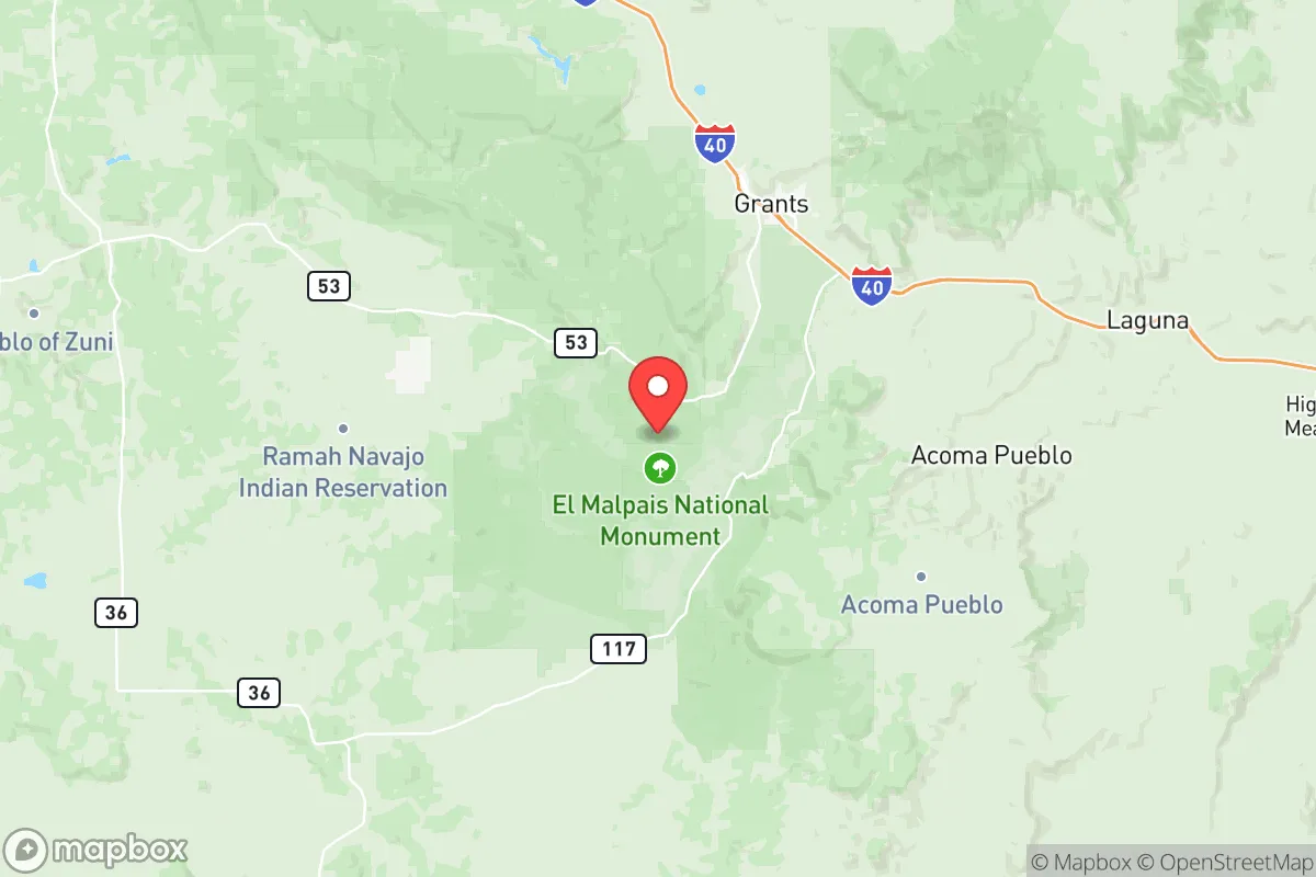
Cibola County, New Mexico, offers a rare combination of geographic isolation and strategic positioning that makes it a compelling option for those seeking resilience in an unpredictable future. With the county seat of Grants sitting along Interstate 40 but over 80 miles west of Albuquerque, the area provides a low-profile base with access to southwestern energy corridors, public lands, and natural resources while staying well clear of major metropolitan targets that would be primary concerns during widespread unrest, federal overreach, or mass-casualty events. This analysis evaluates the county’s strengths, risks, and practical readiness factors from a prepper and conservative standpoint.
Geographic position and natural advantages for strategic relocation
Cibola County straddles the Continental Divide on a high desert plateau averaging around 6,500 feet elevation, which moderates summer heat and reduces the wildfire risk found in lower desert areas. Its defining landmark, Mount Taylor, rises to 11,301 feet and provides timber, reliable springs, and a commanding view of the surrounding terrain—perfect for observation posts or retreat properties. To the west lie the Zuni Mountains, a compact range with defensible draws, good groundwater potential, and access to Cibola National Forest lands. The county also includes portions of the Laguna and Acoma Indian Reservations, which means complex land ownership patterns but also additional buffer zones and established local governments used to self-reliance. The area is bisected by I-40, which is a double-edged sword: it gives quick east-west travel for supply runs or evacuation, but also presents a potential chokepoint in times of crisis. Overall, the combination of low population density (under six people per square mile), high altitude, and nearby federal lands makes Cibola County one of the more defensible and self-sufficient retreat zones in the Southwest.
Fallout risks, proximity to potential targets, and realistic threats
No location is immune from risk, and Cibola County has some exposure that a serious relocator must weigh. The most significant proximity hazard is Albuquerque and particularly Kirtland Air Force Base, a major nuclear-weapons storage and research facility roughly 80 miles east. In a strategic attack scenario, Kirtland would be a high-priority target. However, prevailing winds in this region flow predominantly from west to east, which means a strike on Albuquerque would likely push fallout away from Cibola County and toward the Texas Panhandle. That said, ground contamination within 100 miles is possible, and relocators should plan for sheltering and filtration. Another local concern is the legacy of the Grants Mineral Belt, a major uranium mining district with dozens of abandoned mines and mill tailings. During a disruption in regulatory oversight, exposure to disturbed sites or groundwater contamination is a modest but real threat. On the other hand, the nearest major ports, refineries, and high-value industrial targets—such as the Four Corners coal plants or the Permian Basin oil fields—are 200 miles away or more, placing Cibola outside the danger zone for the most likely precision strikes. For those worried about civil unrest or border-related issues, note that the southern border is over 150 miles away, and while I-40 may see illegal traffic during a breakdown, the local terrain makes large-group movement difficult. The sheriff’s presence is thin, so personal security is paramount, but the county’s culture is strongly pro-Second Amendment and self-reliant—values that align with the conservative prepper mindset.
Practical resilience for a relocator: food, water, energy, and everyday safety
Day-to-day survival in Cibola County demands serious preparation, but the building blocks are there for those willing to put in the work. Water is the scarcest resource: the area sits on a deep aquifer, and most homes rely on private wells. However
* Values derived from national, state, county, city and local statistics and may differ in a specific area. Last updated: 2026-05-20T23:33:32.000Z
Narrative content on this page is AI-generated and may contain mistakes. Verify any details that matter before acting on them.
ReloMaps may earn a commission from affiliate links at no extra cost to you.