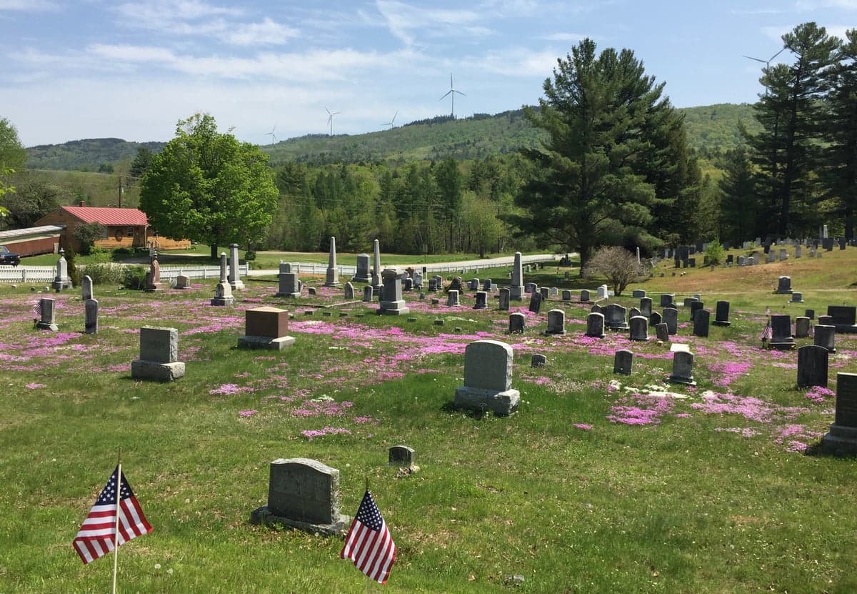
Photo: Wikipedia
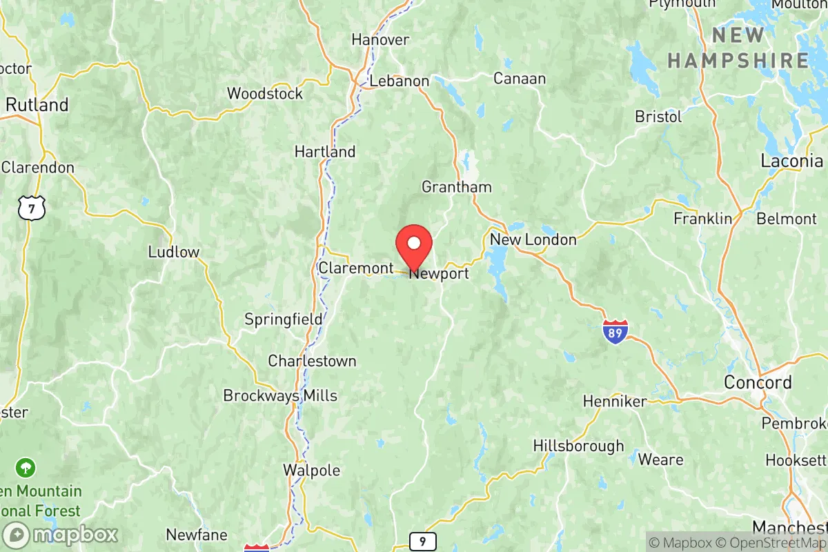
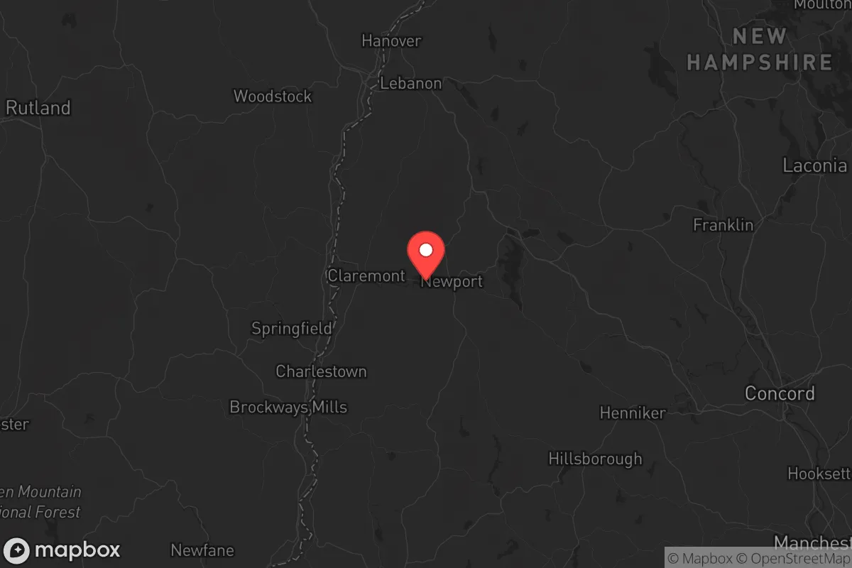
Strategic Assessment of Sullivan County
Workable tactical position. Some exposure to population density or targets, but generally defensible in a crisis.
What does the Strategic Assessment tell us?
Our Strategic Assessment grades tactical survivability of an area. Major population centers, military targets, fallout zones, natural disasters, and border exposure all drive risk — lower exposure means a more defensible position in a crisis.
This is heavily inspired by Joel Skousen's Strategic Relocation book. Highly recommended you checkout the book ($)What does this tell us?
Our Strategic Assessment grades tactical survivability of an area. Major population centers, military targets, fallout zones, natural disasters, and border exposure all drive risk — lower exposure means a more defensible position in a crisis.
This is heavily inspired by Joel Skousen's Strategic Relocation book. Highly recommended you checkout the book ($)Strategic Pillars

Key Distances
Strategic Assessment Analysis
Sullivan County, New Hampshire, offers a strategic relocation option for those prioritizing resilience, self-sufficiency, and distance from major population centers. Nestled along the Connecticut River valley, this rural county combines defensible terrain, abundant natural resources, and a low-profile position that keeps you well outside the blast zones and fallout patterns of high-value targets like Boston or New York. For a prepper or survivalist weighing long-term stability, Sullivan County’s mix of forested hills, working farms, and small towns provides a realistic base for weathering both natural disasters and civil unrest.
Geographic position and natural advantages for long-term security
Sullivan County sits in western New Hampshire, bordered by Vermont to the west and the rugged White Mountain foothills to the north and east. The county’s backbone is the Connecticut River, which forms its western boundary and supplies a reliable water source that doesn’t depend on municipal infrastructure. Towns like Claremont, Newport, and Charlestown are the main population centers, but the county is overwhelmingly rural—roughly 43,000 people spread over 542 square miles. That low population density means fewer neighbors to compete with for resources during a crisis, and the hilly terrain offers natural chokepoints and defensible positions. The area is also far enough inland to avoid direct hurricane storm surge, yet high enough (elevations range from 300 to 2,000 feet) to dodge the worst of river flooding in most scenarios. The region’s cold winters are a trade-off: they discourage mass migration from warmer zones and naturally limit disease vectors, but require serious preparation for heating and food storage.
Risks, exposures, and proximity to fallout-relevant landmarks
No location is risk-free, and Sullivan County has its own set of exposures. The most notable nearby fallout-relevant landmark is the Vermont Yankee Nuclear Power Plant in Vernon, Vermont, just across the Connecticut River from the town of Westmoreland. Though the plant ceased operations in 2014 and is in decommissioning, spent fuel remains on site in dry casks. A deliberate attack or catastrophic accident at that facility could contaminate the river valley and downwind areas—but the prevailing winds in this region typically blow from the west, meaning Sullivan County is upwind of Vermont Yankee in many scenarios. More distant but still concerning: the Portsmouth Naval Shipyard (about 90 miles east) and Boston’s Logan Airport and urban core (about 100 miles southeast). Both are high-value targets for a sophisticated adversary. Sullivan County sits far enough away that a ground-level nuclear detonation in Boston would not produce lethal fallout here (fallout patterns are highly directional and decay rapidly), but a major EMP event could still affect the grid. The county has no refineries, major military bases, or large industrial chemical plants within its borders—a distinct advantage. The closest military installation of note is the New Hampshire Army National Guard’s Camp Fogarty in East Greenwich, Rhode Island, which is too far to matter. The lack of strategic targets inside the county means you’re unlikely to be a direct target, but you’ll still feel the ripple effects of a national crisis—supply chain disruptions, refugee movement, and potential civil unrest spilling out of cities like Lebanon (just north in Grafton County) or Keene (southwest in Cheshire County).
Practical resilience for a relocator: food, water, energy, and defensibility
For someone serious about self-reliance, Sullivan County delivers on the basics. Water is abundant: the Connecticut River runs the entire western border, and dozens of smaller streams, ponds, and lakes (like Lake Sunapee on the eastern edge) provide backup sources. Groundwater is generally good, and many rural properties have private wells. Food production is viable—the county has a long agricultural history, with working farms in Unity, Lempster, and Acworth producing hay, vegetables, and livestock. The growing season is short (about 120 frost-free days), but cold-hardy crops and greenhouse techniques can extend it. Local farmers’ markets and co-ops in Claremont and Newport offer supply lines that don’t depend on national distribution. Energy is a mixed bag: the grid is served by Eversource and the New Hampshire Electric Co-op, both vulnerable to ice storms and cyber attacks. However, the region’s forested hills provide ample firewood for heating, and solar potential is decent (about 4.5 peak sun hours per day). Several small hydroelectric dams on the Connecticut River and its tributaries could be repurposed in a long-term grid-down scenario. Defensibility is strong: the terrain is a patchwork of narrow valleys, ridgelines, and dense woods, making it easy to control access to a homestead. The county’s low population and lack of major highways (I-89 skirts the northern edge, but most roads are two-lane state routes) mean that large-scale refugee flows are unlikely to pass through. The local culture leans conservative and self-reliant—New Hampshire’s “Live Free or Die” ethos is real here, and gun ownership is common. That said, the county seat of Newport and the larger town of Claremont have pockets of poverty and drug issues (opioid abuse is a known problem), so situational awareness is necessary when interacting with the local population.
Overall, Sullivan County presents a solid strategic picture for the relocator who values distance from targets, natural resources, and a low-profile existence. It’s not a fortress—no place is—but it offers a realistic foundation for long-term preparedness. The cold winters demand serious planning, and the proximity to Vermont Yankee is a minor but real concern. Yet for someone looking to step away from the chaos of urban centers and build a resilient life in a community that still values independence, this corner of New Hampshire deserves a close look. The key is to secure land with a reliable water source, invest in off-grid energy and food storage, and build relationships with neighbors before the crisis hits. In a world where the next shock could come from any direction, Sullivan County buys you time, space, and options.
* Values derived from national, state, county, city and local statistics and may differ in a specific area. Last updated: 2026-05-14T20:13:37.000Z
Narrative content on this page is AI-generated and may contain mistakes. Verify any details that matter before acting on them.
ReloMaps may earn a commission from affiliate links at no extra cost to you.