
Photo: Wikipedia
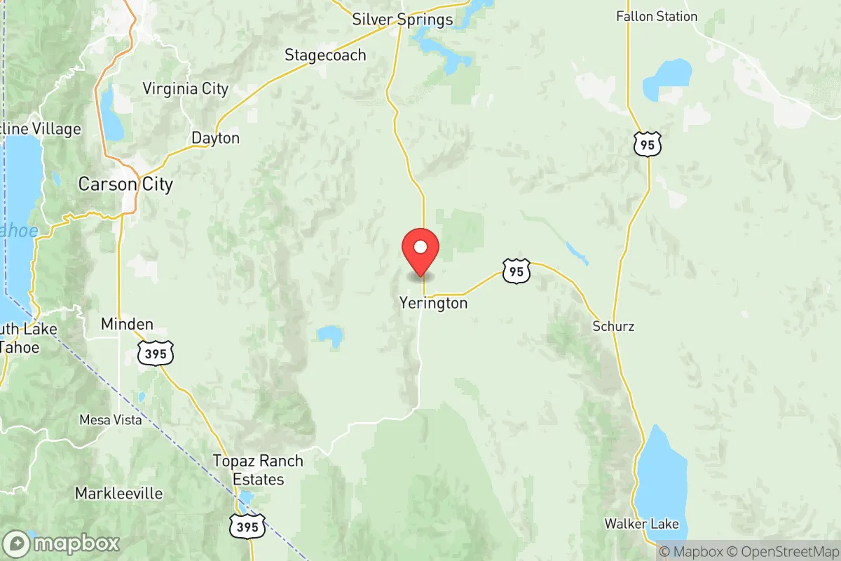
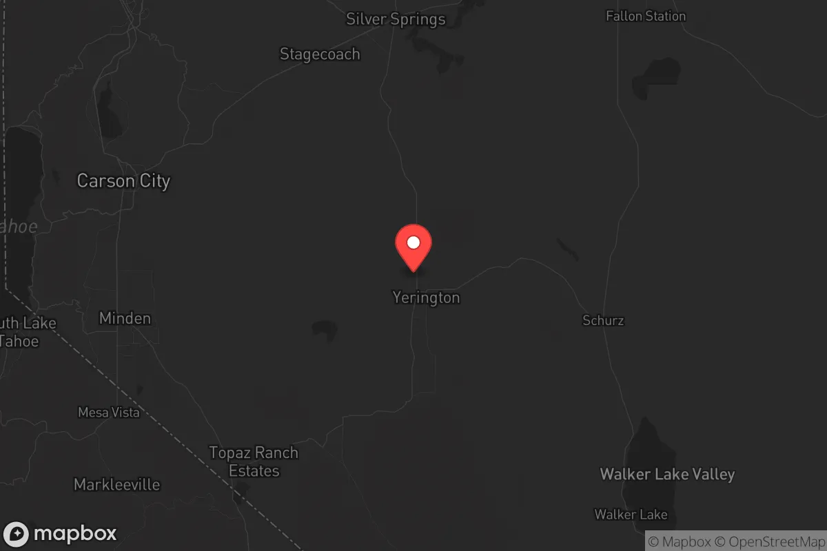
Strategic Assessment of Lyon County
Workable tactical position. Some exposure to population density or targets, but generally defensible in a crisis.
What does the Strategic Assessment tell us?
Our Strategic Assessment grades tactical survivability of an area. Major population centers, military targets, fallout zones, natural disasters, and border exposure all drive risk — lower exposure means a more defensible position in a crisis.
This is heavily inspired by Joel Skousen's Strategic Relocation book. Highly recommended you checkout the book ($)What does this tell us?
Our Strategic Assessment grades tactical survivability of an area. Major population centers, military targets, fallout zones, natural disasters, and border exposure all drive risk — lower exposure means a more defensible position in a crisis.
This is heavily inspired by Joel Skousen's Strategic Relocation book. Highly recommended you checkout the book ($)Strategic Pillars

Key Distances
Strategic Assessment Analysis
Lyon County, Nevada offers a compelling strategic position for those prioritizing resilience and distance from major metropolitan vulnerabilities, while still maintaining practical access to critical infrastructure. Located roughly midway between Reno and the state capital of Carson City, this county of about 60,000 residents sits in a high desert basin that provides natural separation from the densest population centers of the West Coast. For a relocator concerned with civic unrest, mass casualty events, or the cascading failures of urban systems, Lyon County presents a defensible, resource-conscious option that avoids the extreme isolation of rural Nevada while sidestepping the concentration of targets found in places like Las Vegas or the Reno-Sparks corridor.
Geographic position and natural advantages for strategic relocation
Lyon County’s geography is defined by the Carson River Valley, the Pine Nut Mountains to the west, and the expansive Walker Lake basin to the south. The county seat, Yerington, sits in the agricultural heart of the Smith Valley, while Fernley anchors the northern end along Interstate 80. This positioning places a relocator within a two-hour drive of the Sierra Nevada’s eastern slopes, yet far enough from the I-80 corridor’s trucking and rail chokepoints to avoid being a primary target. The area’s elevation—ranging from 4,000 to 6,000 feet—provides a moderate four-season climate that supports dryland farming and reduces the wildfire risk compared to California’s foothills. The Carson River and the Walker River systems offer surface water access, a critical advantage in a state where groundwater rights are complex and often contested. For a prepper, the ability to draw from a renewable surface source without relying on municipal wells is a tangible asset, especially given Nevada’s long-term drought projections.
Risks, exposures, and proximity to fallout-relevant landmarks
No strategic assessment is honest without acknowledging the liabilities. Lyon County’s primary exposure comes from its proximity to Naval Air Station Fallon, roughly 40 miles northeast of Fernley. This is a major training hub for the Navy’s Topgun program and a potential target in any conflict involving strategic air assets. While not a nuclear storage site, the base’s role in strike warfare makes it a higher-risk neighbor than a purely agricultural county. Additionally, the I-80 corridor running through Fernley is a critical east-west logistics artery; a disruption here—whether from earthquake damage along the Sierra Nevada fault system or a deliberate attack—could sever supply chains for the entire region. The Walker Lake area, south of Yerington, has experienced significant environmental degradation from upstream water diversions, which limits its utility as a long-term water source. For a relocator, the key takeaway is that Lyon County is not a zero-risk zone—it sits within a 100-mile radius of the Reno-Sparks metro area (population ~500,000) and its associated industrial and transportation targets. However, the county’s low population density and lack of major refineries, ports, or chemical plants mean that fallout risks are primarily from distant events rather than local catastrophes.
Practical resilience for a relocator: food, water, energy, and defensibility
For a single individual or family looking to build a self-sufficient homestead, Lyon County offers a mix of advantages and trade-offs. Water access is the most critical factor: properties along the Carson River or with senior water rights in the Smith Valley are premium assets. The Mason Valley near Yerington has a history of alfalfa and hay production, meaning soil quality is viable for small-scale agriculture if irrigation is secured. Energy resilience is strong—Nevada’s solar potential is among the best in the nation, and Lyon County has no restrictive HOA or county ordinances that prevent off-grid solar installations. The area also sits near the Fort Churchill Generating Station, a natural gas plant that provides grid redundancy, though a prepper should plan for independent power regardless. Defensibility is moderate: the terrain is open enough to provide long sightlines but lacks the natural chokepoints of mountain valleys. A property with a well, solar array, and a defensible perimeter in the Pine Nut foothills near Silver Springs would offer a strong balance of seclusion and access to Fernley’s hardware stores and medical clinics. The county’s gun culture is robust, with multiple shooting ranges and a sheriff’s office that has historically taken a pro-Second Amendment stance—a practical consideration for those prioritizing self-defense.
The overall strategic picture for a conservative relocator
Lyon County’s strategic value lies in its position as a buffer zone—close enough to urban resources to allow for supply runs and medical access, but far enough to avoid the chaos of a collapsing metro area. The county’s political leanings are reliably conservative, with a majority of voters supporting Republican candidates in recent elections, which aligns with the cultural and governance preferences of many in the prepper community. The local economy is anchored by mining (primarily copper and lithium in the Yerington district), agriculture, and logistics, providing a non-speculative economic base that doesn’t depend on tourism or tech. For a relocator, the calculus is straightforward: Lyon County offers a realistic path to self-sufficiency without the extreme isolation of places like Eureka or White Pine County. The risks from Fallon and I-80 are real but manageable with proper planning—situating a homestead south of Yerington or west of Silver Springs reduces exposure. The county is not a fortress, but it is a defensible position in a state that still values individual liberty and low regulation. For those looking to weather the coming storms—whether economic, social, or geopolitical—Lyon County deserves a serious look as a base of operations.
* Values derived from national, state, county, city and local statistics and may differ in a specific area. Last updated: 2026-05-12T09:23:36.000Z
Narrative content on this page is AI-generated and may contain mistakes. Verify any details that matter before acting on them.
ReloMaps may earn a commission from affiliate links at no extra cost to you.