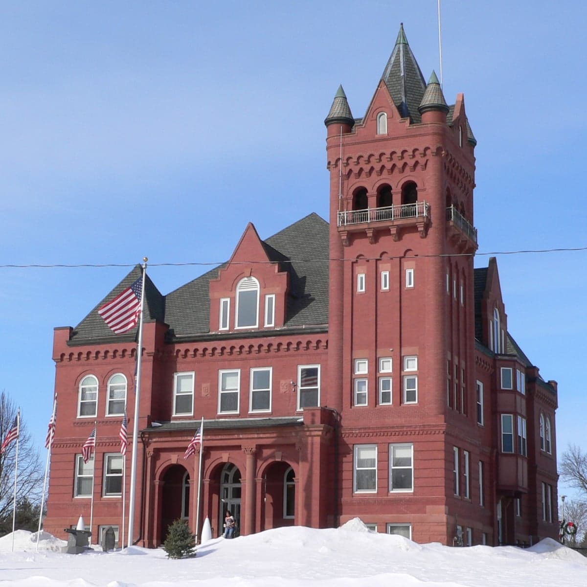
Photo: Wikipedia
Strategic Assessment of Wayne County
Deep buffer from population centers and strategic targets. Low natural disaster risk and minimal exposure to border or coastal threats.
What does the Strategic Assessment tell us?
Our Strategic Assessment grades tactical survivability of an area. Major population centers, military targets, fallout zones, natural disasters, and border exposure all drive risk — lower exposure means a more defensible position in a crisis.
This is heavily inspired by Joel Skousen's Strategic Relocation book. Highly recommended you checkout the book ($)What does this tell us?
Our Strategic Assessment grades tactical survivability of an area. Major population centers, military targets, fallout zones, natural disasters, and border exposure all drive risk — lower exposure means a more defensible position in a crisis.
This is heavily inspired by Joel Skousen's Strategic Relocation book. Highly recommended you checkout the book ($)Strategic Pillars

Key Distances
Strategic Assessment Analysis
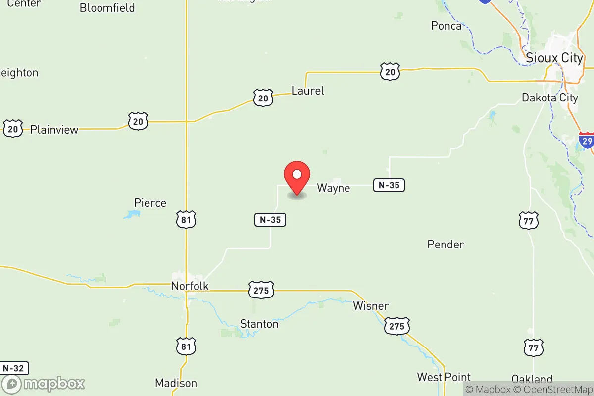
Wayne County, Nebraska, offers a strategic relocation option for those prioritizing resilience, self-sufficiency, and distance from major metropolitan vulnerabilities. Located in the northeastern part of the state, roughly 100 miles northwest of Omaha and 80 miles southwest of Sioux City, Iowa, the county provides a balance of agricultural stability, low population density, and access to regional infrastructure without the risks associated with large urban centers. The county seat, Wayne, serves as the economic and social hub, with a population around 5,600, while the surrounding unincorporated areas like Altona and Sholes offer even greater seclusion. For a reader thinking seriously about disaster readiness, Wayne County presents a credible, if not perfect, foundation for a long-term relocation strategy.
Geographic position and natural advantages for long-term stability
Wayne County sits in the gently rolling plains of the Missouri River watershed, a region defined by fertile loess soils and a temperate continental climate. The county's primary natural advantage is its agricultural self-sufficiency: the area is part of Nebraska's productive corn and soybean belt, with extensive pastureland for cattle grazing. This means local food production is not just possible but is the dominant economic activity. The land is well-drained, with the North Fork of the Elkhorn River and several smaller creeks providing surface water sources. The county's elevation, averaging around 1,500 feet, places it above the flood-prone bottomlands of the Missouri River, reducing the risk of catastrophic flooding seen in downstream communities. The nearest major river crossing is at Sioux City, which is far enough away to avoid the immediate fallout of a disruption there. The region's low seismic risk and absence of hurricane or wildfire threats further enhance its stability. For a relocator, the ability to dig a well, grow food, and raise livestock on a small acreage is a tangible reality here, not just a theoretical option.
Risks, exposures, and proximity to fallout-relevant landmarks
While Wayne County is far from the highest-risk zones, it is not immune to man-made and natural threats. The most significant risk is its proximity to the Missouri River corridor, which hosts multiple power plants, rail lines, and industrial facilities. The Fort Calhoun Nuclear Station, though permanently shut down, is roughly 90 miles southeast, and the Cooper Nuclear Station near Brownville, Nebraska, is about 120 miles south. A major incident at either would place Wayne County in a downwind risk zone, though the distance provides substantial dilution. More immediate is the county's location near the Union Pacific rail mainline that runs through nearby Norfolk and Sioux City, carrying hazardous materials including anhydrous ammonia and crude oil. A derailment or release could affect air quality or groundwater, but the county's dispersed population means fewer people would be directly impacted. Tornadoes are the primary natural threat—Northeast Nebraska sits in the heart of Tornado Alley. Wayne County averages 6-8 tornado warnings per year, with the 2020 Easter outbreak producing an EF-4 that passed just south of the county line. No major military bases, refineries, or ports exist within 50 miles, which is a net positive for this analysis. The nearest active military installation is Offutt Air Force Base near Omaha, a potential target in a conflict scenario, but its distance (100 miles) and the prevailing westerly winds reduce direct fallout risk. For a relocator, the takeaway is that Wayne County faces moderate, manageable risks—primarily weather-related—rather than the high-consequence, low-probability threats of coastal or urban areas.
Practical resilience for a relocator: food, water, energy, and defensibility
Wayne County's practical resilience is its strongest selling point. Food security is excellent: the county is surrounded by working farms, and the town of Wayne hosts a weekly farmers' market from May through October. Local grain elevators and livestock auctions provide direct access to bulk food supplies. For those willing to hunt, the area has healthy populations of white-tailed deer and wild turkey. Water availability is reliable—the Ogallala Aquifer's eastern edge extends into the county, and most rural properties can access groundwater at depths of 50-150 feet. The city of Wayne's municipal water comes from wells drawing from the Dakota Sandstone aquifer, which is less vulnerable to surface contamination. Energy infrastructure is stable: the county is served by the Nebraska Public Power District, which draws from a mix of coal, natural gas, and wind. The nearby Antelope Valley Station (a coal plant) and the Steele Flats Wind Farm provide local generation capacity. For off-grid setups, the region's average wind speed of 12-14 mph makes small-scale wind turbines viable, and solar insolation is adequate for most needs. Defensibility is a mixed picture. The open terrain offers limited natural cover, but the county's low population density (about 12 people per square mile) means that a small group could effectively monitor and control access to a rural property. The county has a sheriff's office with 10-12 deputies, and the Wayne Police Department provides local law enforcement. The nearest hospital is Providence Medical Center in Wayne, a 25-bed critical access facility—adequate for routine care but not for major trauma. For a relocator, the key is that self-sufficiency is achievable with modest investment in a well, solar panels, and food storage, and the community is accustomed to mutual aid and neighborly support.
The overall strategic picture for Wayne County is one of moderate resilience with low baseline risk. It is not a hardened bunker location, nor does it need to be. Its strengths lie in its agricultural base, distance from high-value targets, and a community that still practices the kind of self-reliance that has faded in urban areas. The weaknesses—tornado risk, proximity to rail corridors, and limited medical infrastructure—are manageable for a prepared individual or family. For the reader who values quiet, productive land over proximity to amenities, and who is willing to invest in basic off-grid capabilities, Wayne County offers a defensible, sustainable base of operations. It is a place where a well-thought-out plan can be executed without the constant background noise of urban vulnerability. The county's motto, "A Great Place to Call Home," understates its potential as a strategic relocation destination for those serious about long-term preparedness.

* Values derived from national, state, county, city and local statistics and may differ in a specific area. Last updated: 2026-07-24T18:17:52.000Z
Narrative content on this page is AI-generated and may contain mistakes. Verify any details that matter before acting on them.
ReloMaps may earn a commission from affiliate links at no extra cost to you.

