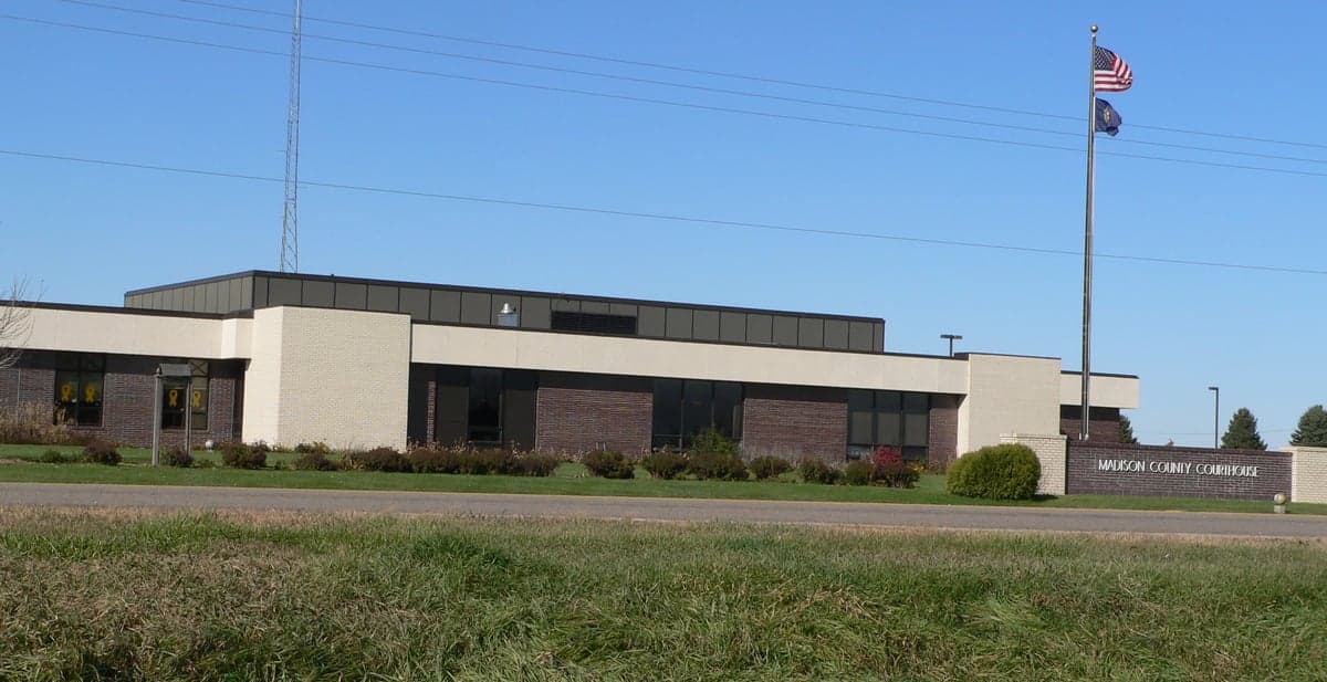
Photo: Wikipedia
Strategic Assessment of Madison County
Strong survivability profile. Good buffer from population centers, with manageable environmental and tactical risks.
What does the Strategic Assessment tell us?
Our Strategic Assessment grades tactical survivability of an area. Major population centers, military targets, fallout zones, natural disasters, and border exposure all drive risk — lower exposure means a more defensible position in a crisis.
This is heavily inspired by Joel Skousen's Strategic Relocation book. Highly recommended you checkout the book ($)What does this tell us?
Our Strategic Assessment grades tactical survivability of an area. Major population centers, military targets, fallout zones, natural disasters, and border exposure all drive risk — lower exposure means a more defensible position in a crisis.
This is heavily inspired by Joel Skousen's Strategic Relocation book. Highly recommended you checkout the book ($)Strategic Pillars

Key Distances
Strategic Assessment Analysis
Madison County, Nebraska, offers a compelling strategic profile for relocators prioritizing resilience and self-sufficiency, anchored by its position in the fertile Elkhorn River Valley and its distance from major metropolitan target zones. The county seat, Madison, and the larger hub of Norfolk form a semi-rural corridor that balances agricultural productivity with access to regional infrastructure, all while sitting well outside the blast and fallout radii of high-value strategic targets like Omaha’s Offutt Air Force Base or the Trans-Canada Pipeline junctions. For a family or individual assessing long-term stability, this area presents a low-density, high-agricultural-output environment with defensible geography and a conservative, community-oriented culture that aligns with preparedness-minded values.
Geographic position and natural advantages for long-term stability
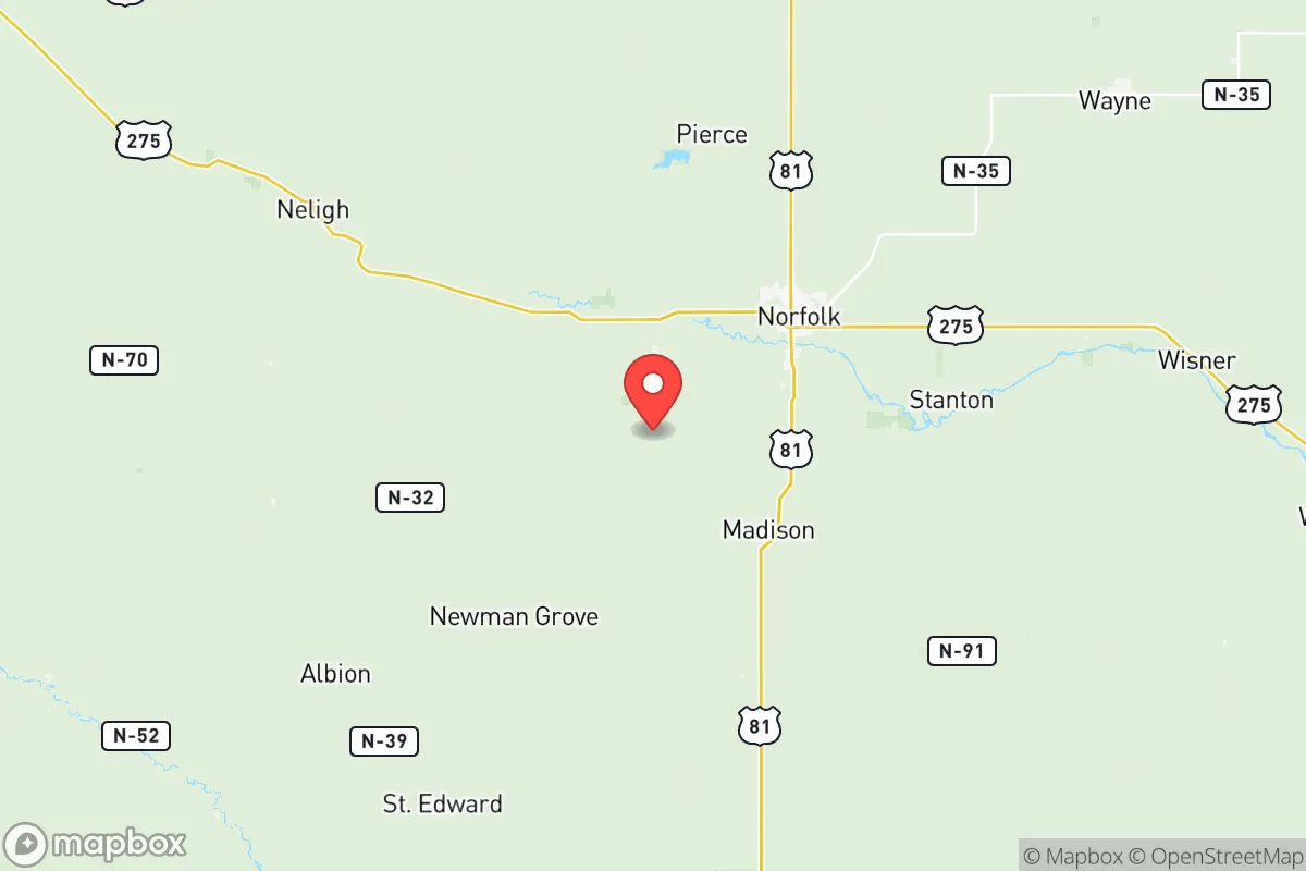
Madison County sits in northeastern Nebraska, roughly 110 miles northwest of Omaha and 80 miles southwest of Sioux City, Iowa, placing it in a sweet spot of regional accessibility without proximity to primary nuclear or industrial targets. The county is bisected by the Elkhorn River, which provides a reliable freshwater source and supports the rich topsoil that makes this one of the most productive corn and soybean regions in the state. The terrain is gently rolling plains with scattered tree lines and farmsteads, offering natural cover and defensible sightlines without the isolation of the Sandhills to the west. The city of Norfolk, the county’s largest population center at roughly 24,000 residents, serves as a regional trade and medical hub, while smaller towns like Battle Creek, Meadow Grove, and Tilden offer lower-density alternatives for those seeking more space. The area’s elevation—around 1,500 feet above sea level—and inland continental climate mean it is not subject to hurricane storm surge, tsunami risk, or seismic activity, reducing the likelihood of natural disaster-driven displacement. Winters are cold and snowy, which itself is a resilience factor: residents are accustomed to power outages, road closures, and cold-weather preparedness, building a baseline of self-reliance that warmer regions often lack.
Risks, exposures, and proximity to fallout-relevant landmarks
While Madison County is far from the highest-risk zones, a strategic assessment must account for the region’s proximity to several infrastructure nodes that could become secondary targets or fallout sources. The most significant nearby landmark is the Cooper Nuclear Station, located roughly 40 miles southeast of Norfolk near Brownville, Nebraska, along the Missouri River. A catastrophic event at this plant could send a radioactive plume across the southeastern portion of the county, depending on wind patterns, though prevailing westerlies typically push contamination eastward. Additionally, the Union Pacific rail corridor running through Norfolk is a major freight artery connecting the Powder River Basin coal fields to the rest of the country; while not a primary target, a derailment or attack involving hazardous materials is a credible industrial risk. The county is also within 150 miles of Offutt Air Force Base near Omaha, a U.S. Strategic Command (STRATCOM) headquarters that would be a high-priority target in a conflict with a peer adversary. Fallout from a ground burst at Offutt could theoretically reach Madison County under certain wind conditions, though the distance and intervening terrain reduce the probability of lethal deposition. On the natural risk side, the Elkhorn River has a history of flooding, particularly in spring thaw and heavy rain events; the 2019 floods caused significant damage in Norfolk and Madison, making floodplain awareness a practical necessity for any relocator. Tornado risk is moderate, with the county lying on the northern fringe of Tornado Alley; the 2020 Easter outbreak produced an EF-4 that tracked through nearby Wayne County, underscoring the need for a storm shelter or reinforced safe room.
Practical resilience for a relocator: food, water, energy, and defensibility
Madison County’s greatest strategic asset is its agricultural self-sufficiency. The county is among Nebraska’s top producers of corn, soybeans, and livestock, meaning local food supply chains are short and robust. Farmers’ markets, direct-to-consumer beef and pork operations, and grain elevators are common, and a relocator with even a modest homestead can tap into a culture of hunting, gardening, and food preservation that is mainstream rather than fringe. Water availability is excellent: the Elkhorn River and its tributaries provide surface water, while the Ogallala Aquifer’s eastern edge underlies the region, supporting deep wells with reliable yields. Most rural properties have private wells, and municipal water in Norfolk and Madison is treated and tested regularly. Energy infrastructure is moderately resilient: Norfolk is served by the Nebraska Public Power District, which draws from a mix of coal, natural gas, and nuclear (Cooper Station), with growing wind capacity in the region. Natural gas distribution is common in towns, but rural properties often rely on propane or heating oil, which requires storage and advance planning. Grid reliability is average for the Plains; winter storms can cause multi-day outages, making a backup generator and wood heat a practical investment. Defensibility is a mixed picture: the open agricultural terrain offers long sightlines but limited cover, and the county’s road network is sparse enough that a determined group could monitor approaches. However, the low population density—roughly 35 people per square mile—means that a well-prepared family on a rural acreage would have significant operational security and the ability to maintain a low profile. The local culture is heavily oriented toward hunting, firearms ownership, and outdoor skills, which translates into a community that values preparedness and mutual aid without the prepper subculture stigma found in some regions.
Overall, Madison County presents a balanced strategic picture for the relocator who values agricultural abundance, water security, and distance from high-value targets, while accepting the trade-offs of harsh winters, flood risk, and moderate proximity to nuclear infrastructure. It is not a bug-out location for those seeking total isolation or mountain defensibility, but it is a strong candidate for a long-term, community-integrated resilience strategy. The presence of Norfolk as a regional service center with a hospital, airport, and supply chains means that day-to-day life remains convenient, while the surrounding farmland and small towns offer the space and resources needed to weather a prolonged disruption. For a conservative-leaning family or individual who wants to live in a place that is both functional in normal times and survivable in bad ones, Madison County deserves serious consideration.

* Values derived from national, state, county, city and local statistics and may differ in a specific area. Last updated: 2026-08-08T11:49:34.000Z
Narrative content on this page is AI-generated and may contain mistakes. Verify any details that matter before acting on them.
ReloMaps may earn a commission from affiliate links at no extra cost to you.

