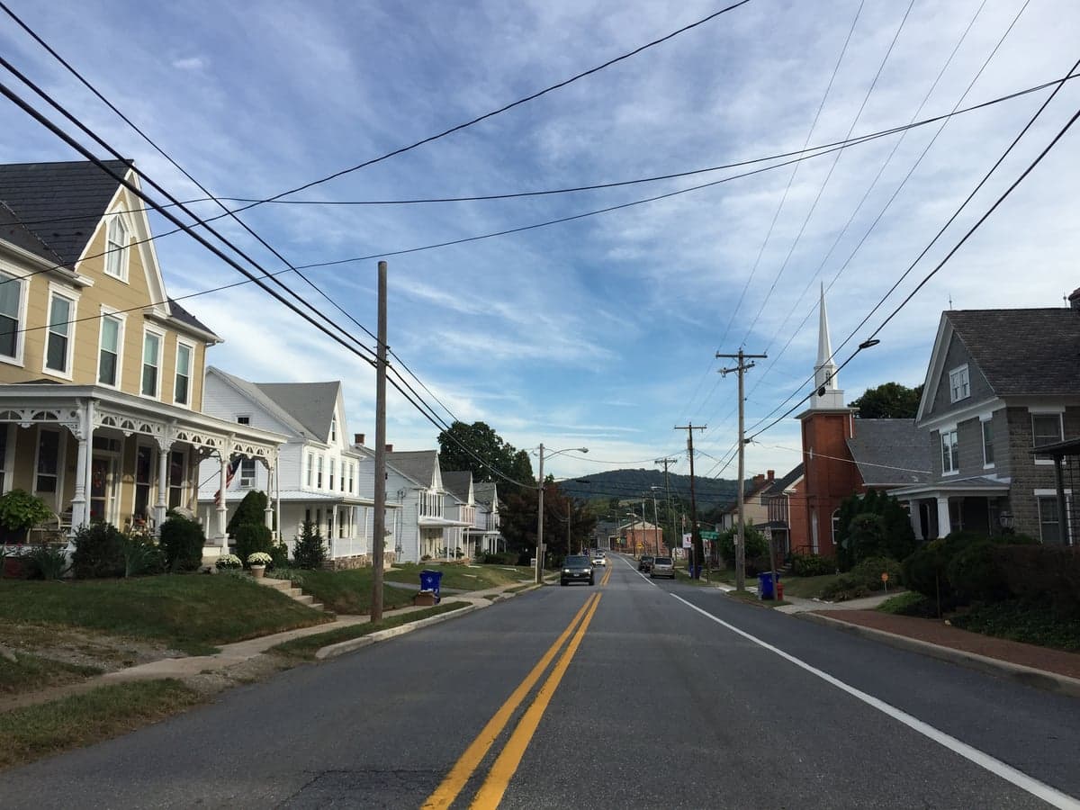
Photo: Wikipedia
Strategic Assessment of Myersville, MD
Meaningful friction. Expect exposure to either population pressure, blast zones, or natural disaster risk. Consider buying a retreat property.
What does the Strategic Assessment tell us?
Our Strategic Assessment grades tactical survivability of an area. Major population centers, military targets, fallout zones, natural disasters, and border exposure all drive risk — lower exposure means a more defensible position in a crisis.
This is heavily inspired by Joel Skousen's Strategic Relocation book. Highly recommended you checkout the book ($)What does this tell us?
Our Strategic Assessment grades tactical survivability of an area. Major population centers, military targets, fallout zones, natural disasters, and border exposure all drive risk — lower exposure means a more defensible position in a crisis.
This is heavily inspired by Joel Skousen's Strategic Relocation book. Highly recommended you checkout the book ($)Strategic Pillars

Key Distances
Regional Safe Places
Below is our recommended "safe zones" in Maryland and the surrounding area based on our strategic heuristics. For most people, it's unrealistic to live in a “safe zone” full-time due to work, family or other personal reasons. They tend to be more rural. However, many of these areas are perfect for second homes and retreat properties that double as a vacation home or even a short-term rental.




Important Note: For informational purposes only. This does not mean nothing bad ever happens in the green zones. Please use common sense. This is based on public data and modeled with AI. We tried to take a conservative approach but mistakes happen. We update this regularly as new information becomes available.
Solar Generator Recommendations
Backup power matters more here than in safer locations. We've picked three solar generators across budgets and capacity tiers — start with the budget unit if you only need a few essentials, or step up if you want to run a fridge and HVAC for days at a time.

Jackery Portable Power Station Explorer 300
Budget OptionPower on the Go: Weighing only 11 lbs, it's convenient to set up and store with book-sized foldable solar panels

BLUETTI Portable Power Station AC180
Designed for both indoor and outdoor scenarios, AC180 is highly capable as it has a robost capacity and continuous output power.

EF ECOFLOW DELTA Pro Ultra Power Station
Upgraded PickEcoFlow DELTA Pro Ultra is a whole-home energy system designed to grow with your family. Integrated with the Smart Home Panel 2, it scales to meet your evolving energy needs — keeping your home powered, intelligent, and secure through every stage of life.
We earn a commission, at no additional cost to you.
Strategic Assessment Analysis
Myersville, Maryland, offers a strategic blend of rural seclusion and practical access that appeals to the relocation-minded reader prioritizing resilience and self-sufficiency. Perched in the foothills of the Catoctin Mountains in western Frederick County, this town of roughly 1,600 residents sits far enough from the Washington-Baltimore corridor to avoid its immediate fallout risks, yet close enough to leverage its infrastructure when needed. For a family or individual serious about disaster readiness, Myersville’s location, natural defenses, and community character provide a solid foundation—but the area is not without vulnerabilities that demand honest assessment.
Geographic position and natural advantages for self-sufficiency
Myersville’s primary strategic asset is its position along the eastern slope of South Mountain, part of the Blue Ridge range. This topography offers natural defensibility: the town is nestled in a valley with ridgelines to the west and north, providing visual and physical barriers against large-scale movement or weather events. The elevation—roughly 900 feet—keeps the area cooler than the lowlands and reduces flood risk from the Potomac River system, which is a concern in lower Frederick County. The surrounding Catoctin Mountain Park and Frederick Municipal Forest (over 8,000 acres of protected land) create a buffer of dense hardwood forest, offering resources for foraging, timber, and wildlife management. For a relocator, this means a property with a southern or eastern exposure can capture passive solar gain, while the ridges block prevailing winter winds. The area’s karst geology—limestone and dolomite bedrock—supports reliable groundwater wells, a critical advantage over regions reliant on surface reservoirs. Myersville’s water table is generally high, with most wells producing 10–20 gallons per minute, sufficient for a household and small-scale agriculture. The town’s low population density (about 150 people per square mile) also reduces competition for local resources during a crisis, a sharp contrast to the suburban sprawl of nearby Hagerstown or Frederick city.
Risks, exposures, and proximity to fallout-relevant landmarks
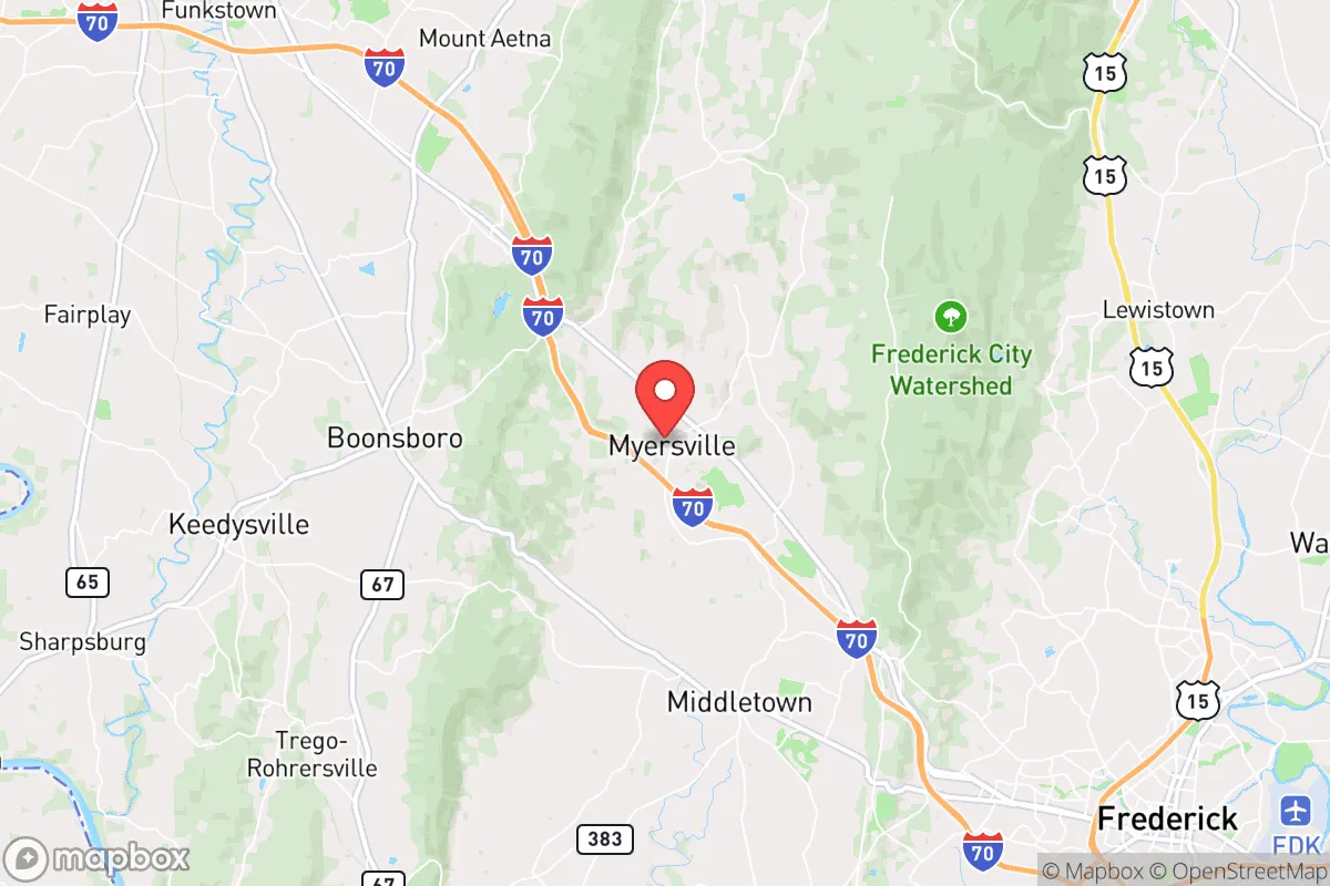
No resilience assessment is honest without weighing the negatives, and Myersville’s proximity to high-value targets is the most significant concern. The town lies roughly 50 miles northwest of Washington, D.C., and 40 miles from Baltimore, placing it within the moderate-to-heavy fallout zone for a nuclear event targeting the National Capital Region. Prevailing winds in the mid-Atlantic are westerly, which means a strike on D.C. would push radioactive debris toward the Chesapeake Bay—away from Myersville—but a strike on Baltimore or the Fort Detrick biodefense lab in Frederick (just 12 miles southeast) could contaminate the area directly. Interstate 70, which runs through Myersville, is a major evacuation route from D.C. and would likely become a choke point during any regional emergency. The town is also within 20 miles of the Three Mile Island nuclear plant (decommissioned but still storing spent fuel) and the Doubs Waterfowl Management Area, which could be a target for industrial sabotage. Natural risks are lower: the area sees occasional flash flooding from steep terrain, but the town sits above the 100-year floodplain. Tornadoes are rare in the mountain shadow, and the region’s seismic risk is negligible. The real exposure is man-made: Myersville’s location along a major interstate and its proximity to federal assets make it a potential secondary target or transit corridor for displaced populations.
Practical resilience for a relocator: food, water, energy, and defensibility
For a family or individual serious about self-sufficiency, Myersville’s practical resilience is a mixed bag with strong potential. Water is the area’s strongest asset: most properties have access to groundwater via private wells, and the town’s municipal supply (drawn from the Catoctin Aquifer) is gravity-fed, meaning it can operate without power for a limited time. Rainwater catchment is viable, with the region averaging 40 inches of precipitation annually. For food, the surrounding farmland is among the most productive in Maryland—Frederick County is the state’s top agricultural producer, with over 1,200 farms growing corn, soybeans, hay, and livestock. A relocator with acreage can raise poultry, goats, or cattle, and the local soil (primarily Hagerstown silt loam) supports vegetable gardens without heavy amendment. The Myersville Farmers Market (seasonal) and nearby organic farms like Garden of Eden Farm provide local food networks. Energy is a weaker link: the grid is served by Potomac Edison, and outages are common during winter storms (ice on power lines is a recurring issue). Solar is viable—the area gets about 200 sunny days per year—but net metering policies in Maryland are favorable, and many rural properties have south-facing roof slopes. Wood heating is practical, with abundant firewood from the surrounding forests, but air quality regulations in Frederick County limit outdoor wood boilers. Defensibility is moderate: the town’s layout—a compact historic core with scattered rural homes—makes it hard to secure as a whole, but individual properties on dead-end roads or with ridge-line views offer natural observation points. The local sheriff’s office (Frederick County) has a response time of 15–20 minutes in rural areas, so a relocator should plan for self-defense and neighborhood watch networks. The community itself is tight-knit, with a strong volunteer fire company and a culture of mutual aid—valuable intangibles in a crisis.
The overall strategic picture for Myersville is one of cautious optimism. Its geographic isolation and natural resources provide a credible foundation for a self-sufficient lifestyle, and the distance from primary target zones is a genuine advantage over suburbs closer to D.C. or Baltimore. However, the town’s position along I-70 and its proximity to Frederick’s biodefense infrastructure introduce risks that cannot be ignored. For a relocator willing to invest in off-grid water, solar backup, and a defensible property layout, Myersville offers a realistic balance of seclusion and access—a place where a family can ride out regional disruptions without being cut off from supply chains or medical care. The key is to choose a property with a well, a south-facing roof, and a location off the main roads, and to build relationships with neighbors before a crisis hits. In a region where most people are looking to the city for solutions, Myersville’s strength lies in looking to the mountain.

* Values derived from national, state, county, city and local statistics and may differ in a specific area. Last updated: 2026-08-26T18:54:43.000Z
Narrative content on this page is AI-generated and may contain mistakes. Verify any details that matter before acting on them.
ReloMaps may earn a commission from affiliate links at no extra cost to you.

