Photo: Wikipedia
Strategic Assessment of Muskogee, OK
Workable tactical position. Some exposure to population density or targets, but generally defensible in a crisis.
What does the Strategic Assessment tell us?
Our Strategic Assessment grades tactical survivability of an area. Major population centers, military targets, fallout zones, natural disasters, and border exposure all drive risk — lower exposure means a more defensible position in a crisis.
This is heavily inspired by Joel Skousen's Strategic Relocation book. Highly recommended you checkout the book ($)What does this tell us?
Our Strategic Assessment grades tactical survivability of an area. Major population centers, military targets, fallout zones, natural disasters, and border exposure all drive risk — lower exposure means a more defensible position in a crisis.
This is heavily inspired by Joel Skousen's Strategic Relocation book. Highly recommended you checkout the book ($)Strategic Pillars

Key Distances
Regional Safe Places
Below is our recommended "safe zones" in Oklahoma and the surrounding area based on our strategic heuristics. For most people, it's unrealistic to live in a “safe zone” full-time due to work, family or other personal reasons. They tend to be more rural. However, many of these areas are perfect for second homes and retreat properties that double as a vacation home or even a short-term rental.
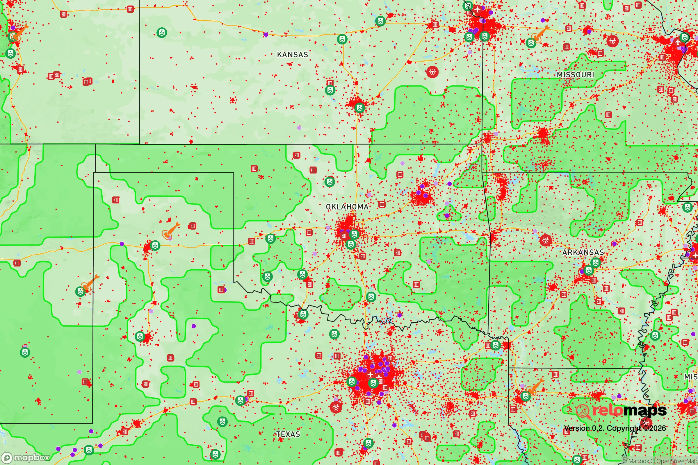
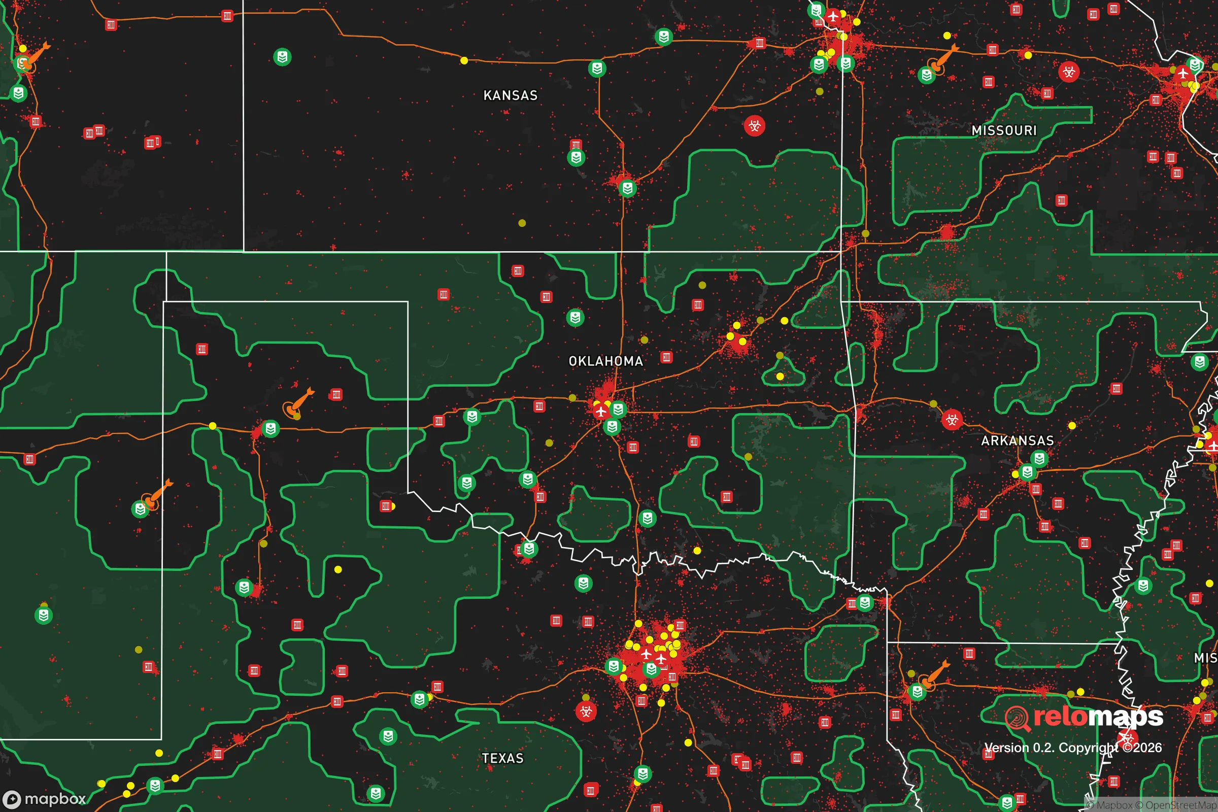
Important Note: For informational purposes only. This does not mean nothing bad ever happens in the green zones. Please use common sense. This is based on public data and modeled with AI. We tried to take a conservative approach but mistakes happen. We update this regularly as new information becomes available.
Solar Generator Recommendations
Backup power matters more here than in safer locations. We've picked three solar generators across budgets and capacity tiers — start with the budget unit if you only need a few essentials, or step up if you want to run a fridge and HVAC for days at a time.

Jackery Portable Power Station Explorer 300
Budget OptionPower on the Go: Weighing only 11 lbs, it's convenient to set up and store with book-sized foldable solar panels

BLUETTI Portable Power Station AC180
Designed for both indoor and outdoor scenarios, AC180 is highly capable as it has a robost capacity and continuous output power.

EF ECOFLOW DELTA Pro Ultra Power Station
Upgraded PickEcoFlow DELTA Pro Ultra is a whole-home energy system designed to grow with your family. Integrated with the Smart Home Panel 2, it scales to meet your evolving energy needs — keeping your home powered, intelligent, and secure through every stage of life.
We earn a commission, at no additional cost to you.
Strategic Assessment Analysis
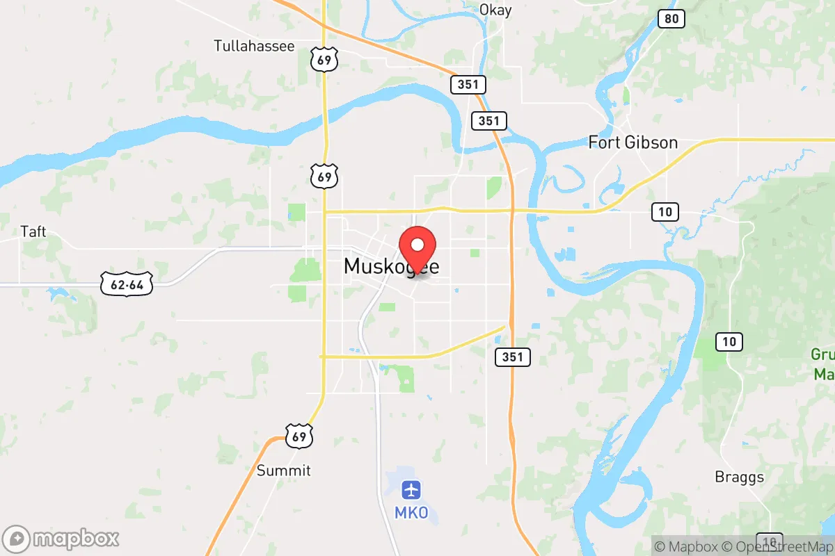
Muskogee, Oklahoma, sits in a strategic sweet spot that resilience-minded relocators should take seriously: far enough from major metropolitan chaos to avoid the immediate blast radius of societal collapse, yet close enough to regional logistics hubs to matter. Located at the confluence of the Arkansas, Verdigris, and Grand Rivers, this city of roughly 36,000 anchors a county (Muskogee County, pop. ~66,000) that has seen steady, if slow, population growth since 2020—a sign that people are already voting with their feet. The area's position along the McClellan-Kerr Arkansas River Navigation System gives it a genuine waterborne supply line, while Interstate 40 and US-69 provide overland redundancy that most flyover towns lack. For someone thinking in terms of decades, not election cycles, Muskogee offers a rare combination: genuine remoteness from the coastal megacities that will likely see the worst of whatever comes, plus enough existing infrastructure to make self-sufficiency achievable rather than theoretical.
Geographic position and natural advantages for long-term security
Muskogee's geography is its strongest card. The city sits in the Green Country region of eastern Oklahoma, where the Ozark Plateau meets the prairie—a transition zone that provides both ample surface water and decent agricultural soil. The three rivers converging here aren't just scenic; they represent a permanent water source that won't dry up in a drought the way High Plains aquifers might. The Arkansas River alone carries enough volume to support barge traffic, meaning that even if trucking collapses, bulk goods—grain, fuel, building materials—can still move. The surrounding terrain is rolling hills with mixed hardwood forest, offering natural cover and defensible positions that the flatlands of western Oklahoma simply don't provide. Annual rainfall averages around 43 inches, which is enough for dryland farming without relying on irrigation. For a prepper, that means you can grow food without being dependent on a power grid to pump water. The area also sits outside the direct path of most major tornado alleys—while severe weather happens, Muskogee isn't in the bullseye like Moore or Joplin. And critically, it's over 100 miles from any city with a population over 500,000 (Tulsa is 50 miles west, but that's still a buffer), which dramatically reduces the risk of being caught in a mass evacuation or civil unrest spillover from a major urban center.
Risks, exposures, and proximity to fallout-relevant landmarks
No location is perfect, and Muskogee has genuine vulnerabilities that a strategic relocator must weigh. The most obvious is the Port of Muskogee, a full-scale industrial river port with rail connections, grain elevators, and fuel storage facilities. In a grid-down scenario, that port becomes a target—either for looting or for state seizure of resources. The city also hosts a VA medical center and a federal prison (Muskogee Federal Correctional Institution), both of which could become focal points for unrest or federal attention during a crisis. The nearby McAlester Army Ammunition Plant, about 50 miles south, is one of the largest conventional munitions storage sites in the country. While that's not a nuclear risk, it's a massive explosion hazard and a likely target for any adversary looking to disrupt U.S. logistics. On the energy side, Muskogee is downwind of the Pryor Creek coal-fired power plant (30 miles northwest) and the Grand River Dam Authority's hydroelectric and natural gas facilities—both potential failure points that could cause regional blackouts. The city itself sits in a floodplain along the Arkansas River; the 2019 floods caused significant damage, and climate models suggest heavier rain events are becoming more common. For a prepper, the takeaway is that Muskogee's advantages come with strings attached: you need to live outside the floodplain, store your own water and fuel, and plan for the possibility that the port and prison could draw unwanted attention.
Practical resilience for a relocator: food, water, energy, and defensibility
For someone actually moving here with a prepper mindset, the practicalities matter more than the macro analysis. Water is the easiest win: the Arkansas River is perennial, and the water table in Muskogee County is high enough that a shallow well (30-60 feet) can produce potable water in most areas outside the city limits. The city's municipal water comes from the Fort Gibson Reservoir, which is large enough to sustain drawdown even in extended drought. For food, the region has a strong agricultural base—cattle, hay, soybeans, and wheat are the main crops, and there are multiple local farmers' markets and co-ops that could become lifelines if supply chains break. The growing season runs from April to October, long enough for two crop cycles of most vegetables. Energy is the weak link: Muskogee is served by the Grand River Dam Authority, which relies on a mix of coal, natural gas, and hydro. In a prolonged grid failure, the hydro component (Pensacola Dam) would likely be the first to fail due to lack of maintenance or sabotage. Solar is viable here—the area gets about 215 sunny days per year, which is average for the region—but you'll need battery storage to handle the cloudy stretches. Defensibility is decent but not fortress-level: the rolling hills and tree cover provide good concealment, and the rural areas outside town offer acreage at prices well below national averages (you can still find 10-20 acre parcels under $100,000). The local population skews older and more conservative, which means a higher likelihood of neighbors who are armed and willing to cooperate in a crisis. The downside is that Muskogee itself has a higher-than-average crime rate for Oklahoma (property crime is about 30% above the state average), so living inside city limits is not advisable for a prepper. The sweet spot is the unincorporated areas within 10-15 miles of town—close enough to access supplies and medical care, far enough to avoid the chaos.
The overall strategic picture for Muskogee is cautiously optimistic for the survivalist relocator. It's not a bug-out paradise like the Idaho panhandle or the Ozarks, but it offers a realistic middle ground: genuine water security, agricultural viability, and a location that buffers you from the worst of coastal and urban collapse while still giving you access to infrastructure that works when the system is functioning. The risks are real—the port, the prison, the ammunition plant, the floodplain—but they're manageable with proper site selection and preparation. For someone who wants to be out of the blast radius of the major cities but not so remote that they can't trade, work, or access healthcare, Muskogee deserves a serious look. The key is to treat it as a base of operations, not a final redoubt: buy land outside the floodplain, dig a well, plant a garden, and keep your options open. In a world where the next crisis is always just around the corner, that's about as good as it gets.
* Values derived from national, state, county, city and local statistics and may differ in a specific area. Last updated: 2026-04-25T13:50:03.000Z
Narrative content on this page is AI-generated and may contain mistakes. Verify any details that matter before acting on them.
ReloMaps may earn a commission from affiliate links at no extra cost to you.