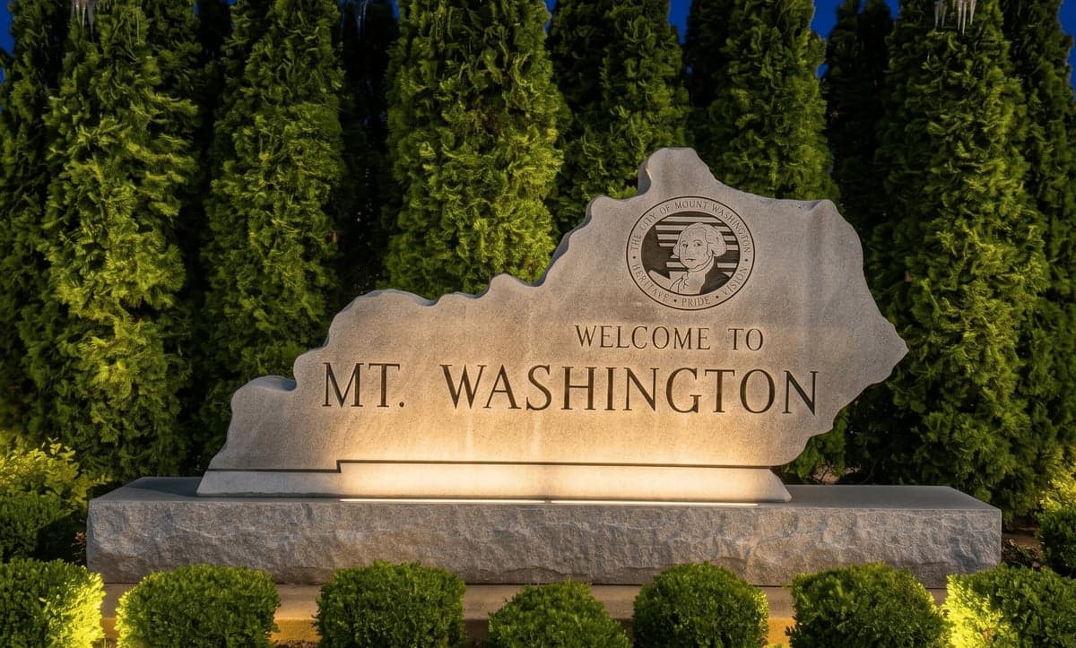
Strategic Assessment of Mount Washington, KY
Meaningful friction. Expect exposure to either population pressure, blast zones, or natural disaster risk. Consider buying a retreat property.
What does the Strategic Assessment tell us?
Our Strategic Assessment grades tactical survivability of an area. Major population centers, military targets, fallout zones, natural disasters, and border exposure all drive risk — lower exposure means a more defensible position in a crisis.
This is heavily inspired by Joel Skousen's Strategic Relocation book. Highly recommended you checkout the book ($)What does this tell us?
Our Strategic Assessment grades tactical survivability of an area. Major population centers, military targets, fallout zones, natural disasters, and border exposure all drive risk — lower exposure means a more defensible position in a crisis.
This is heavily inspired by Joel Skousen's Strategic Relocation book. Highly recommended you checkout the book ($)Strategic Pillars

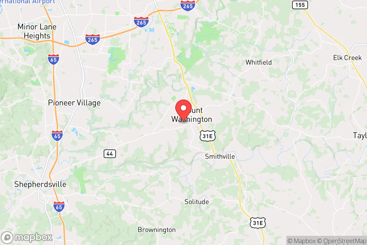
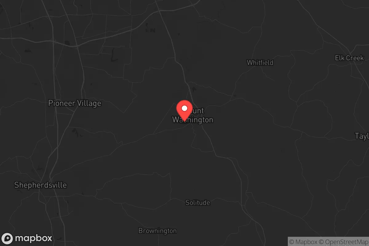
Key Distances
Regional Safe Places
Below is our recommended "safe zones" in Kentucky and the surrounding area based on our strategic heuristics. For most people, it's unrealistic to live in a “safe zone” full-time due to work, family or other personal reasons. They tend to be more rural. However, many of these areas are perfect for second homes and retreat properties that double as a vacation home or even a short-term rental.


Important Note: For informational purposes only. This does not mean nothing bad ever happens in the green zones. Please use common sense. This is based on public data and modeled with AI. We tried to take a conservative approach but mistakes happen. We update this regularly as new information becomes available.
Solar Generator Recommendations
Backup power matters more here than in safer locations. We've picked three solar generators across budgets and capacity tiers — start with the budget unit if you only need a few essentials, or step up if you want to run a fridge and HVAC for days at a time.

Jackery Portable Power Station Explorer 300
Budget OptionPower on the Go: Weighing only 11 lbs, it's convenient to set up and store with book-sized foldable solar panels

BLUETTI Portable Power Station AC180
Designed for both indoor and outdoor scenarios, AC180 is highly capable as it has a robost capacity and continuous output power.

EF ECOFLOW DELTA Pro Ultra Power Station
Upgraded PickEcoFlow DELTA Pro Ultra is a whole-home energy system designed to grow with your family. Integrated with the Smart Home Panel 2, it scales to meet your evolving energy needs — keeping your home powered, intelligent, and secure through every stage of life.
We earn a commission, at no additional cost to you.
Strategic Assessment Analysis
Mount Washington, Kentucky, sits in a strategic sweet spot that resilience-minded relocators should take seriously: close enough to Louisville’s economic engine to sustain a career, yet far enough to avoid the blast radius of a major urban collapse. With a population hovering around 10,000 and steady growth driven by families fleeing Jefferson County’s rising crime and taxes, this Bullitt County town offers a rare combination of rural buffer and suburban infrastructure. For someone thinking in terms of decades—not just the next election cycle—Mount Washington’s location along I-65 gives you a hard road out if things go sideways, while its position in the knobs region provides natural terrain advantages that flatland suburbs simply cannot match.
Geographic position and natural advantages for long-term security
Mount Washington sits in the eastern edge of Bullitt County, where the Ohio River Valley meets the knobs—those steep, forested hills that rise 200–400 feet above the surrounding farmland. This topography is a genuine asset for anyone concerned with defensibility and water security. The knobs create natural chokepoints on the few roads leading into town from the west and south, and the elevation gives you line-of-sight advantages that flat ground never will. The area drains into the Salt River watershed, which feeds into the Ohio, meaning surface water is plentiful if you know where to look—Floyd’s Fork and the Rolling Fork River are both within a 15-minute drive. The underlying geology is mostly limestone and shale, which means well water is viable for most properties outside the city limits, and the frost line is shallow enough (around 18 inches) that buried water lines are practical. For a prepper, the key takeaway is that Mount Washington sits on the edge of the Bluegrass region’s fertile soils but retains the hill-country cover that makes you harder to find. You are not in the open farmland of Shelby County, nor are you in the dense woods of eastern Kentucky—you are in a transitional zone that offers both agricultural potential and concealment.
Risks, exposures, and proximity to fallout-relevant landmarks
No location is a fortress, and Mount Washington has real vulnerabilities that a strategic relocator must weigh. The most obvious is I-65, which runs six miles west of town. In a mass evacuation scenario—think a major earthquake on the New Madrid fault or a coordinated attack on Louisville’s infrastructure—that highway becomes a parking lot and a target. Louisville’s Muhammad Ali International Airport is 20 miles north, and the city’s chemical plants along the Ohio River (including the Rubbertown industrial corridor) are within a 30-mile plume radius. If a major industrial accident or terrorist strike hits those facilities, prevailing winds from the southwest could push a toxic cloud directly over Bullitt County. Fort Knox is 15 miles southwest, which is a double-edged sword: it provides a military presence that could deter some threats, but it also makes the area a potential target for any adversary looking to degrade U.S. armor and logistics. The Bluegrass Army Depot in Richmond, which stores chemical weapons, is 90 miles east—outside the immediate danger zone but close enough that a worst-case scenario could affect regional supply chains. On the natural disaster front, Bullitt County is in a moderate tornado risk zone (EF2–EF3 historically), and the karst topography means sinkholes are a real concern for anyone building a basement bunker. Flooding is limited to the Salt River bottomlands, which are mostly west of town. The bottom line: Mount Washington is not a hardened redoubt, but it is far enough from the highest-risk targets that a prepared individual can survive the first 72 hours of a regional crisis.
Practical resilience for a relocator: food, water, energy, and defensibility
For someone serious about self-sufficiency, Mount Washington offers a workable baseline. The growing season runs roughly April through October, with an average of 190 frost-free days—enough for corn, beans, squash, and even a modest tobacco or hemp plot if you have the acreage. The soil is mostly Crider silt loam, which drains well and is productive with minimal amendment. Local farmers’ markets operate seasonally, and the Bullitt County Cooperative Extension office in nearby Shepherdsville offers soil testing and canning workshops. Water is the bigger variable: municipal water comes from the Ohio River via the Louisville Water Company, which is vulnerable to contamination and pressure loss. Anyone serious about resilience should budget for a drilled well (typically $5,000–$10,000 for a 200-foot domestic well in this area) and a hand pump or solar-powered backup. Rainwater catchment is legal in Kentucky, and with 45 inches of annual precipitation, a 1,000-square-foot roof can yield over 25,000 gallons per year. Energy-wise, the grid is served by LG&E and KU, which rely heavily on coal and natural gas—both subject to disruption. Solar is viable here (4.5 peak sun hours per day on average), and net metering is available, though the state’s regulatory environment is less friendly than in neighboring Ohio. For defensibility, the ideal property is on a dead-end road in the knobs, with a long driveway and a view of the approach. The Bullitt County Sheriff’s Office has a response time of 10–15 minutes in rural areas, so you are largely on your own for the first critical minutes of a home invasion or civil unrest event. Firearms laws are favorable: Kentucky is a constitutional carry state, and Bullitt County is generally pro-2A in its permitting and enforcement. The local hospital, UofL Health–Bullitt County, is a small critical-access facility in Shepherdsville—fine for stitches and flu, but a Level I trauma center is 25 minutes north in Louisville. Stock your own trauma kit and plan for evacuation if things get serious.
The overall strategic picture for Mount Washington is one of calculated risk. It is not a remote mountain retreat—you will have neighbors, traffic on I-65, and the noise of a growing exurb. But for a conservative-leaning individual or family who wants to stay within commuting distance of Louisville’s jobs while maintaining a credible posture for civil unrest, natural disaster, or supply-chain collapse, this town checks more boxes than most. The terrain gives you options, the water is accessible, the legal environment respects your right to prepare, and the community is still small enough that you can build a network of like-minded people. The key is to buy now, before the next wave of refugees from the city drives prices higher and reduces availability. If you are looking for a base of operations that balances access with security, Mount Washington deserves a hard look.
* Values derived from national, state, county, city and local statistics and may differ in a specific area. Last updated: 2026-04-21T09:11:09.000Z
Narrative content on this page is AI-generated and may contain mistakes. Verify any details that matter before acting on them.
ReloMaps may earn a commission from affiliate links at no extra cost to you.