
Photo: Wikipedia
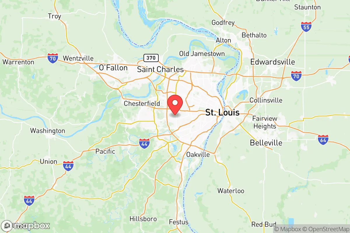
Strategic Assessment of St Louis County
Meaningful friction. Expect exposure to either population pressure, blast zones, or natural disaster risk. Consider buying a retreat property.
What does the Strategic Assessment tell us?
Our Strategic Assessment grades tactical survivability of an area. Major population centers, military targets, fallout zones, natural disasters, and border exposure all drive risk — lower exposure means a more defensible position in a crisis.
This is heavily inspired by Joel Skousen's Strategic Relocation book. Highly recommended you checkout the book ($)What does this tell us?
Our Strategic Assessment grades tactical survivability of an area. Major population centers, military targets, fallout zones, natural disasters, and border exposure all drive risk — lower exposure means a more defensible position in a crisis.
This is heavily inspired by Joel Skousen's Strategic Relocation book. Highly recommended you checkout the book ($)Strategic Pillars

Key Distances
Strategic Assessment Analysis
St. Louis County presents a complex strategic picture for the conservative relocator seeking resilience. While its position along the Mississippi River and proximity to major interstate corridors (I-70, I-55, I-44) offer logistical advantages for supply movement and evacuation routes, the county’s core challenge is its direct adjacency to the city of St. Louis—a major urban center with a history of civil unrest, high crime rates, and concentrated political tensions. The county itself is a patchwork of over 90 municipalities, ranging from dense inner-ring suburbs to rural exurbs, meaning your specific location within the county dramatically alters your risk profile. For the prepper focused on long-term sustainability and avoiding fallout-relevant targets, St. Louis County is a high-risk, high-reward proposition that demands precise geographic selection.
Geographic position and natural advantages for long-term survival
St. Louis County sits at the confluence of the Missouri and Mississippi Rivers, providing abundant surface water—a critical resource for independent water collection and filtration. The region’s topography is generally rolling hills with significant forest cover in the western and southern portions, particularly near the Meramec River Valley and the Ozark foothills. This terrain offers natural defensibility and concealment, especially in areas like Wildwood, Eureka, and the rural stretches of western St. Louis County. The county’s position at the intersection of multiple major highways also means access to secondary road networks that can bypass congested urban corridors during an evacuation. However, the same rivers that provide water also serve as industrial transport arteries, making bridges and lock-and-dam structures (like the Chain of Rocks Canal) potential chokepoints or targets during civil unrest. The area’s moderate climate supports year-round gardening and livestock grazing, with a growing season of roughly 180 days, though summer humidity and occasional severe storms (tornadoes, derechos) require robust shelter planning.
Risks, exposures, and proximity to fallout-relevant landmarks
The single greatest strategic liability of St. Louis County is its proximity to multiple high-value targets. The city of St. Louis itself is a major population center with a history of civil unrest—most notably the 2014 Ferguson protests and 2020 George Floyd riots, which saw widespread looting, arson, and National Guard deployment. Ferguson is within the county, and the entire I-270 corridor from Florissant to Hazelwood is dense suburban sprawl that could become a contested zone during a breakdown of order. Beyond civil unrest, the region hosts several fallout-relevant landmarks: Lambert-St. Louis International Airport (a major cargo and passenger hub), the St. Louis Refinery (formerly known as the Wood River Refinery, located just across the Mississippi in Illinois but within blast radius of eastern county), and the Bridgeton Landfill (a Superfund site with ongoing underground smoldering fire). The county also contains the St. Louis Arsenal (a U.S. Army facility) and multiple rail yards handling hazardous materials. For the prepper, living within 10 miles of any of these sites significantly increases risk of secondary effects from a mass casualty event—whether from chemical release, targeted attack, or panic-driven evacuation. The Missouri River bridges at St. Charles and Chesterfield are likely chokepoints that could be blocked or destroyed, isolating eastern county residents.
Practical resilience for a relocator: food, water, energy, and defensibility
For a relocator willing to choose the right micro-location, St. Louis County offers genuine resilience potential. Water is abundant—the Meramec, Missouri, and Mississippi Rivers provide year-round surface water, and the county’s groundwater aquifers are generally reliable for well drilling, though permitting and contamination from industrial sites require careful site assessment. Food production is feasible in the western exurbs, where zoning allows for livestock and large gardens; areas like Pacific, Eureka, and the rural pockets near the Ozark border have agricultural soil and existing farm infrastructure. Energy independence is complicated by the region’s tree cover and moderate solar insolation, but ground-mounted solar arrays with battery backup are viable on properties with southern exposure. Wood heat is practical given the forested landscape, but air quality concerns during grid-down scenarios must be managed. Defensibility varies dramatically: inner-ring suburbs like Clayton, University City, and Kirkwood offer no natural defensive advantage and are vulnerable to urban spillover. In contrast, properties in the Meramec River Valley or near Castlewood State Park provide terrain-based concealment, limited road access points, and natural barriers. The county’s patchwork of municipal police departments means response times and capabilities vary widely—rural areas may rely on county sheriff response, which can be slow during widespread events. For the conservative relocator, the ideal property is a minimum of 15 miles from the St. Louis city limits, with a well, septic, and at least 5 acres of wooded or agricultural land, preferably in the western or southern portions of the county.
The overall strategic picture for St. Louis County is one of calculated risk. It is not a remote survivalist haven—it is a suburban and exurban region with significant exposure to urban decay, industrial targets, and political polarization. However, for the relocator who cannot or will not move to a truly rural location (e.g., the Ozarks or rural Missouri), the western and southern fringes of the county offer a reasonable compromise: access to major infrastructure for supply runs, abundant water, and defensible terrain, provided you avoid the high-risk zones near the airport, refinery, and major bridges. The key is to treat St. Louis County as a staging area rather than a final retreat—a place to build skills, cache supplies, and maintain connections while keeping a bug-out plan for deeper rural Missouri. If you choose this area, prioritize property in Wildwood, Eureka, or the unincorporated areas near the Meramec River, and invest in water filtration, solar power, and a reliable vehicle capable of navigating back roads. The county’s resilience is real, but it demands constant awareness of the urban threat to your east.
* Values derived from national, state, county, city and local statistics and may differ in a specific area. Last updated: 2026-05-12T04:38:01.000Z
Narrative content on this page is AI-generated and may contain mistakes. Verify any details that matter before acting on them.
ReloMaps may earn a commission from affiliate links at no extra cost to you.