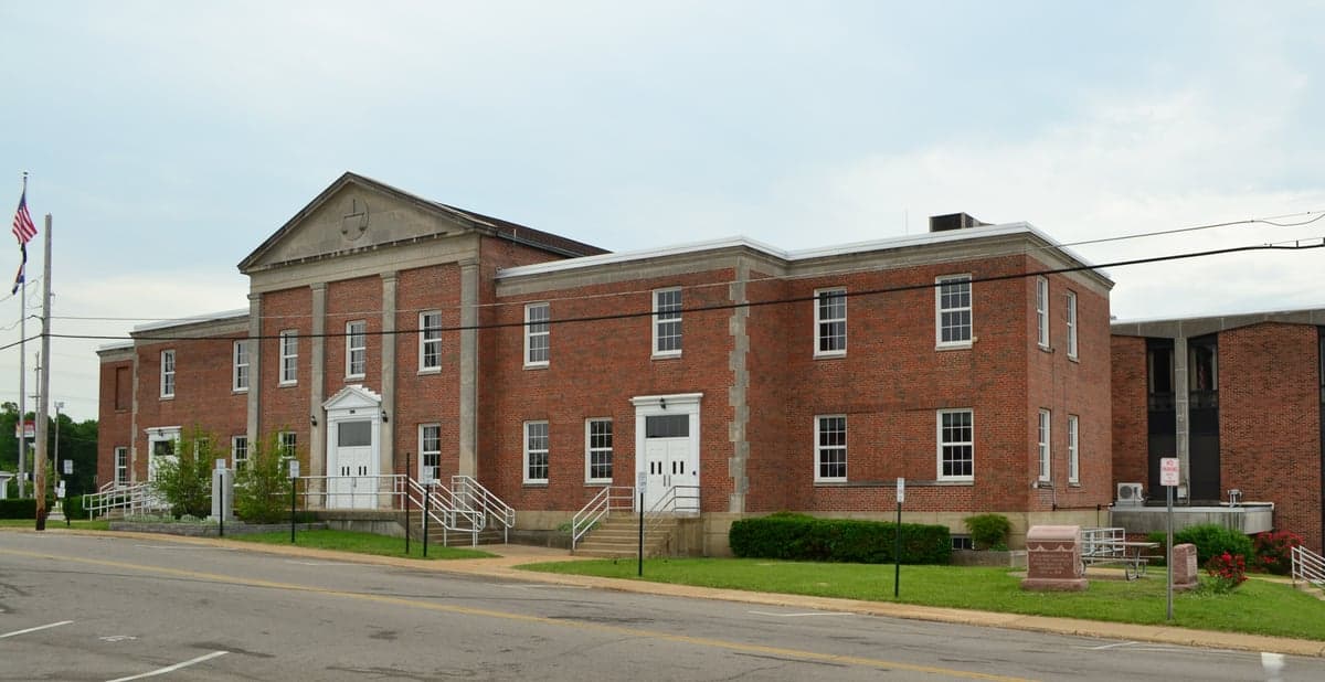
Photo: Wikipedia
Strategic Assessment of Jefferson County
Workable tactical position. Some exposure to population density or targets, but generally defensible in a crisis.
What does the Strategic Assessment tell us?
Our Strategic Assessment grades tactical survivability of an area. Major population centers, military targets, fallout zones, natural disasters, and border exposure all drive risk — lower exposure means a more defensible position in a crisis.
This is heavily inspired by Joel Skousen's Strategic Relocation book. Highly recommended you checkout the book ($)What does this tell us?
Our Strategic Assessment grades tactical survivability of an area. Major population centers, military targets, fallout zones, natural disasters, and border exposure all drive risk — lower exposure means a more defensible position in a crisis.
This is heavily inspired by Joel Skousen's Strategic Relocation book. Highly recommended you checkout the book ($)Strategic Pillars

Key Distances
Strategic Assessment Analysis
Jefferson County, Missouri, offers a compelling strategic position for relocators prioritizing resilience and self-sufficiency, balancing proximity to St. Louis with the buffer of rural and exurban space. Its location along the Mississippi River and the Interstate 55 corridor provides both economic access and a degree of geographic insulation from the densest urban risks. For those assessing long-term stability, the county’s mix of forested hills, river bluffs, and working farmland creates a foundation for practical preparedness, though it is not without significant exposures that require careful consideration.
Geographic position and natural advantages for long-term stability
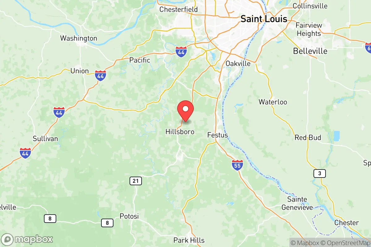
Jefferson County sits roughly 30 miles southwest of downtown St. Louis, placing it in the outer ring of the metro area’s exurban fringe. This distance offers a meaningful buffer from the immediate fallout risks associated with a major urban center, while still keeping essential services and employment within reach. The county’s terrain is notably varied: the eastern edge follows the Mississippi River, with floodplains and bluffs, while the western half rises into the rolling hills of the Ozark Plateau. This topography provides natural defensibility in many areas, with ridges and hollows that can limit sightlines and slow movement. Key towns like Festus, Crystal City, and De Soto sit along the river or major highways, while Hillsboro, the county seat, lies further inland on higher ground. The Big River and Meramec River watersheds drain the county, offering surface water sources that are less contested than those near the city. The region’s moderate climate—with four distinct seasons and average annual rainfall around 42 inches—supports year-round gardening and livestock grazing, a practical advantage for self-sufficiency. The county’s forest cover, primarily oak-hickory, provides timber for fuel and construction, though much of it is on private land.
Risks, exposures, and proximity to fallout-relevant landmarks
While Jefferson County avoids the worst of urban concentration, it is not remote from man-made risks. The most significant exposure is the Mississippi River corridor, which hosts barge traffic, rail lines, and industrial facilities that could become secondary targets or accident sites. The St. Louis metropolitan area, with its population of roughly 2.8 million, is within a 45-minute drive of most of the county; a major event in the city—whether natural disaster, industrial accident, or deliberate attack—would send evacuees and fallout south along I-55 and Highway 67. The county itself contains several potential risk points: the Festus-Crystal City industrial area includes chemical storage and manufacturing, and the De Soto area has a history of lead mining and processing, with tailings that could pose contamination hazards. The Jefferson County Airport near Festus is a general aviation field that could become a staging area or target. On the natural side, the county is in a moderate seismic zone; the New Madrid Seismic Zone, about 100 miles south, could produce significant shaking and liquefaction in the river bottoms. Flooding is a recurring risk along the Mississippi, Big, and Meramec rivers, with Arnold and Imperial experiencing periodic inundation. Tornado risk is real but typical for the Midwest; the county averages 2-3 tornado warnings per year. For a relocator, the key takeaway is that while Jefferson County is not a high-risk zone, it is not a bunker either—its proximity to St. Louis and industrial river traffic means that a major event would have ripple effects here within hours.
Practical resilience for a relocator: food, water, energy, and defensibility
For someone serious about self-sufficiency, Jefferson County offers a mixed but workable picture. Food production is viable: the county has over 1,200 farms, many of them small operations raising cattle, poultry, and row crops like corn and soybeans. Farmers’ markets operate in Hillsboro, Festus, and Arnold, and local food networks are active. Soil quality varies—river bottoms are rich, but upland areas tend to be clay-heavy and require amendment. Growing season runs roughly April through October, enough for most vegetables and some grains. Water access is a strong point: the county sits atop the Ozark Aquifer, and many rural properties have private wells. Surface water from the Big and Meramec rivers is abundant but requires treatment. Municipal water systems in towns are generally reliable, but a long-term grid failure would strain them. Energy resilience is moderate. The county is served by Ameren Missouri, with overhead lines vulnerable to ice storms and wind. Solar potential is decent—the region averages about 200 sunny days per year—but tree cover can limit rooftop production. Wood heating is common in rural areas, and propane is widely available. Defensibility varies by location: properties on ridgetops with single access roads offer natural security, while those in river valleys or along major highways are more exposed. The county’s law enforcement presence is spread thin—the Jefferson County Sheriff’s Office covers over 660 square miles with about 100 sworn deputies. In a prolonged crisis, residents would largely rely on themselves and their neighbors. The Hillsboro area, with its county government and hospital, would likely become a coordination hub. The De Soto area, more remote and forested, offers better concealment but fewer immediate resources.
The overall strategic picture for Jefferson County is one of moderate resilience with clear trade-offs. Its geographic position provides a meaningful buffer from St. Louis while retaining access to the region’s economic and logistical infrastructure. The county’s natural resources—water, timber, farmland—are real assets for a self-sufficient lifestyle, and its terrain offers defensible pockets for those who choose carefully. However, the risks are not negligible: proximity to the Mississippi River industrial corridor, the St. Louis metro area, and local industrial sites means that a major event would likely affect the county within hours. For a relocator who values preparedness, the smartest move is to target the western and southern parts of the county—areas like Hillsboro and De Soto—where elevation, distance from the river, and lower population density improve the odds. Avoid the floodplains and the I-55 corridor near Festus and Crystal City for primary residence. Jefferson County is not a survivalist’s paradise, but for someone looking to balance urban access with a credible self-sufficiency setup, it is a solid, defensible choice in the Missouri context.

* Values derived from national, state, county, city and local statistics and may differ in a specific area. Last updated: 2026-08-03T22:14:07.000Z
Narrative content on this page is AI-generated and may contain mistakes. Verify any details that matter before acting on them.
ReloMaps may earn a commission from affiliate links at no extra cost to you.

