Photo: Wikipedia
Demographics of Missoula, MT
Affluence Level in Missoula, MT
A middle-class area roughly in line with national averages across income, home values, education, and employment.
People of Missoula, MT
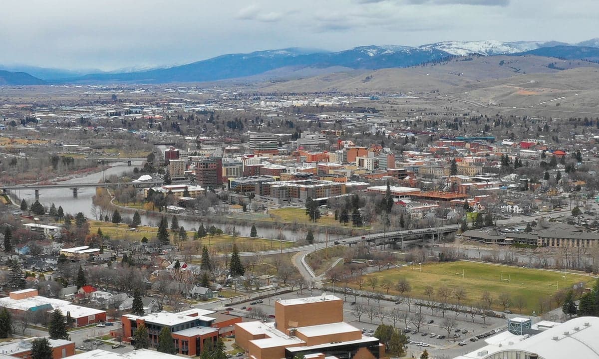
The people of Missoula, Montana, today number roughly 75,600, forming a city that is notably white (85.2%) and highly educated (51.7% college graduates) compared to state averages. The city’s character is shaped by a strong university presence, a growing outdoor recreation economy, and a relatively low foreign-born population of just 1.5%. Distinctive identity markers include a politically progressive tilt within a conservative state, a dense urban core with walkable neighborhoods, and a population that is younger than the Montana median age, driven largely by University of Montana students and young professionals.
How the city was settled and grew
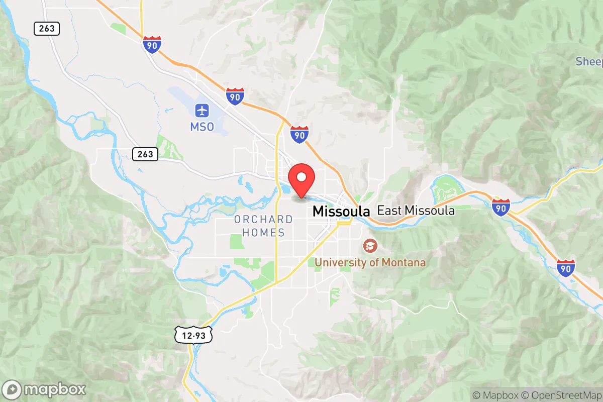
Missoula’s original inhabitants were the Salish, Kootenai, and Pend d’Oreille peoples, who used the valley as a seasonal gathering and trading ground. Euro-American settlement began in earnest after the 1855 Hellgate Treaty, which confined local tribes to the Flathead Reservation. The city was formally founded in 1860 as a trading post and saw its first major population wave with the arrival of the Northern Pacific Railroad in 1883. This rail link drew a mix of Irish, German, and Scandinavian laborers, who built the early working-class neighborhoods of the Northside and the Westside, areas still characterized by modest bungalows and a strong sense of blue-collar heritage. The second major wave came with the establishment of the University of Montana in 1893, which attracted faculty, administrators, and students, creating the University District, a leafy neighborhood of early 20th-century homes that remains an intellectual and cultural anchor. The timber industry, driven by the Anaconda Company’s logging operations, brought a third wave of workers—primarily from the Midwest and the Pacific Northwest—through the 1920s and 1930s, settling in the South Hills and the Rattlesnake Valley, areas that later became suburban bedroom communities.
Modern era (post-1965)
After the 1965 Hart-Cellar Act, Missoula saw only modest immigration, consistent with its low foreign-born share today. The city’s modern demographic story is one of domestic in-migration rather than international arrivals. Beginning in the 1970s, a wave of back-to-the-land migrants, environmental activists, and artists from the West Coast and Northeast settled in the Lower Rattlesnake and the Slant Streets (the area between the university and downtown), drawn by the city’s natural setting and countercultural reputation. This group helped shift Missoula’s political leanings leftward. The 1990s and 2000s brought a second domestic wave: retirees and remote workers from California, Colorado, and Washington, who favored newer subdivisions in the South Hills and Grant Creek, areas that have seen the most suburban-style growth. The Hispanic population, now 5.4%, grew primarily through agricultural and service-sector work, with families settling in the Westside and the Northside, though these neighborhoods remain predominantly white. The East/Southeast Asian population (1.2%) is largely tied to the university, with students and faculty concentrated near campus in the University District. The Black population (0.7%) and Indian subcontinent population (0.0%) remain negligible, reflecting Missoula’s limited draw for non-white domestic or international migrants.
The future
Missoula’s population is projected to grow modestly, reaching roughly 85,000 by 2035, driven by continued domestic in-migration from higher-cost states and by natural increase from the relatively young resident base. The city is not homogenizing into a single demographic block; rather, it is tribalizing into distinct enclaves. The University District and Lower Rattlesnake are becoming denser and more progressive, with higher concentrations of college-educated professionals and students. The South Hills and Grant Creek are trending older, whiter, and more conservative, attracting retirees and remote workers who value space and quiet. The Northside and Westside remain the most economically diverse, with a mix of long-time working-class families and newer Hispanic residents. The foreign-born share is expected to remain low, likely below 3%, as Missoula lacks the industrial or agricultural draw of other Montana towns. The Hispanic population may grow slowly through natural increase, but the city will remain overwhelmingly white for the foreseeable future.
For someone moving in now, Missoula is becoming a city of distinct lifestyle zones: a progressive, walkable university core; a conservative, car-dependent suburban ring; and a handful of older, mixed-income neighborhoods that still feel like small-town America. The city’s future is not one of rapid diversification but of internal sorting by income, education, and political outlook. New residents should expect a highly educated, environmentally conscious, and politically engaged population, but one that is also notably homogeneous by national standards.
* Values derived from national, state, county, city and local statistics and may differ in a specific area. Last updated: 2026-04-23T04:42:42.000Z
Narrative content on this page is AI-generated and may contain mistakes. Verify any details that matter before acting on them.
ReloMaps may earn a commission from affiliate links at no extra cost to you.