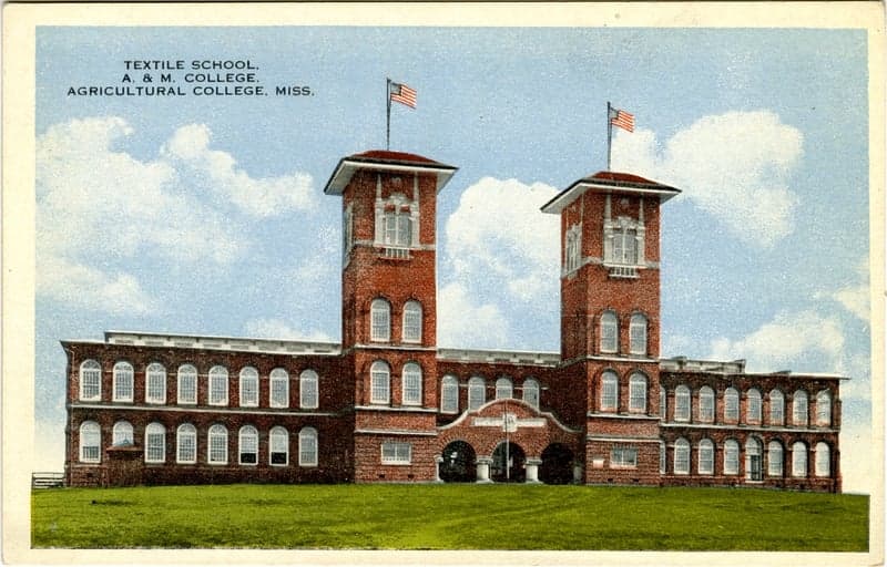
Photo: Wikipedia
Strategic Assessment of Oktibbeha County
Workable tactical position. Some exposure to population density or targets, but generally defensible in a crisis.
What does the Strategic Assessment tell us?
Our Strategic Assessment grades tactical survivability of an area. Major population centers, military targets, fallout zones, natural disasters, and border exposure all drive risk — lower exposure means a more defensible position in a crisis.
This is heavily inspired by Joel Skousen's Strategic Relocation book. Highly recommended you checkout the book ($)What does this tell us?
Our Strategic Assessment grades tactical survivability of an area. Major population centers, military targets, fallout zones, natural disasters, and border exposure all drive risk — lower exposure means a more defensible position in a crisis.
This is heavily inspired by Joel Skousen's Strategic Relocation book. Highly recommended you checkout the book ($)Strategic Pillars

Key Distances
Strategic Assessment Analysis
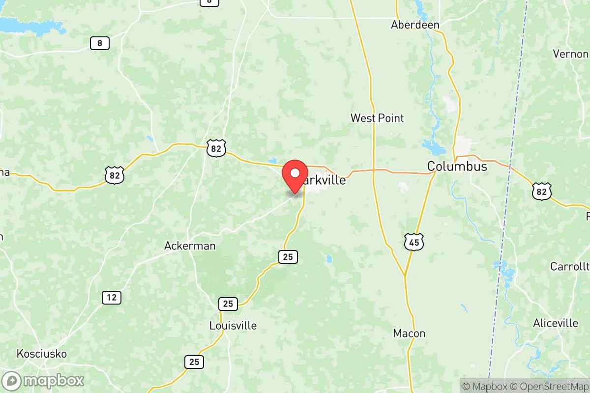
Oktibbeha County, Mississippi, offers a compelling strategic profile for relocators prioritizing resilience and self-sufficiency, balancing deep rural buffers with access to regional infrastructure. Its location in the northeastern part of the state, anchored by the city of Starkville and the county seat of Maben, places it roughly 120 miles from the Gulf Coast and 130 miles from Memphis, Tennessee—far enough from major metropolitan centers to reduce exposure to their cascading risks, yet close enough to reach them for specialized supplies or medical care. The county’s population density of about 50 people per square mile, combined with its position in the Black Belt region’s clay-rich soils and rolling hills, provides a natural foundation for long-term sustainability that few suburban or coastal areas can match.
Geographic position and natural advantages for long-term stability
Oktibbeha County sits in a transitional zone between the Mississippi Alluvial Plain to the west and the Appalachian foothills to the east, giving it a diverse topography that supports both agriculture and forestry. The county is drained by the Noxubee River and its tributaries, including Line Creek and Catalpa Creek, which flow through the Noxubee National Wildlife Refuge—a 48,000-acre protected area that serves as a natural buffer and a reliable source of game and timber. This refuge, located just south of Starkville, is one of the few federally managed wilderness areas in the region, offering a ready supply of deer, turkey, and small game for those with hunting skills. The county’s elevation ranges from 200 to 500 feet above sea level, which means it is largely immune to storm surge and has minimal floodplain exposure outside the immediate river corridors. The underlying geology—primarily clay and loam over a deep aquifer—supports well water at depths of 100 to 300 feet, a critical advantage for off-grid water security. For a relocator, this means the land itself provides defensible space: wooded ridges offer natural cover, while open agricultural fields around the communities of Longview and Sturgis create clear sightlines and reduce wildfire risk compared to dense pine forests farther south.
Risk exposure and proximity to fallout-relevant landmarks
Oktibbeha County’s primary risk profile is shaped by its distance from high-value targets and industrial infrastructure, which is generally a positive for resilience-minded relocators. The nearest major military installation is Columbus Air Force Base, located about 25 miles east in Lowndes County—a pilot training base that is a low-priority target compared to strategic bomber or missile fields. The county is roughly 90 miles from the Tennessee Valley Authority’s Browns Ferry Nuclear Plant in Alabama, a facility that, while not a direct fallout risk at that distance, could pose a secondary hazard in a worst-case scenario involving a catastrophic release. More relevant is the county’s position relative to the Mississippi River corridor: the refineries and chemical plants along the river near Vicksburg and Baton Rouge are about 150 miles southwest, placing Oktibbeha outside the primary fallout plume zones for most plausible events. The county’s own industrial footprint is minimal—Starkville’s industrial park hosts a few light manufacturing facilities, including a Yokohama tire plant and a poultry processing operation, but nothing that would attract a targeted strike. Natural hazards are more immediate: the county lies in Tornado Alley’s southeastern extension, with an average of 15 tornado warnings per year, and severe thunderstorms can bring damaging winds and hail. Flooding is localized to the Noxubee River floodplain, which affects mainly agricultural land rather than residential areas. For a relocator, the key takeaway is that Oktibbeha County’s risks are manageable and largely natural, not man-made or strategic—a significant advantage over areas near Houston’s refinery corridor or Fort Hood.
Practical resilience for a relocator: food, water, energy, and defensibility
Oktibbeha County offers strong practical resilience for those willing to invest in self-sufficiency. The county’s agricultural base is robust: it sits within Mississippi’s “Golden Triangle” of row-crop production, with soybeans, corn, and cotton grown extensively in the western half, while the eastern half supports cattle grazing and timber. The Starkville Farmers Market operates year-round, and local food co-ops like the Oktibbeha County Food Hub connect growers directly to consumers. For water security, the county’s groundwater is abundant and generally clean, though well owners should test for iron and manganese, which are common in the region’s clay aquifers. The Tennessee-Tombigbee Waterway, accessible via the Columbus Lock and Dam about 30 miles east, provides a navigable route for bulk goods transport if road networks are compromised. Energy infrastructure is a mixed bag: Starkville is served by the Tennessee Valley Authority’s grid, which is relatively reliable, but rural areas east of Starkville and around Maben experience frequent outages during storms. Solar potential is moderate—the county averages 5.2 peak sun hours per day—and many relocators pair rooftop panels with battery storage to offset grid dependence. Defensibility is aided by the county’s road network: U.S. Highway 82 runs east-west through Starkville, while State Highway 25 connects north to Mississippi State University’s campus and south to Louisville. The county’s many unpaved county roads and logging trails, particularly in the Noxubee Refuge area, provide alternative routes and choke points for those concerned about security. The local population is politically and culturally conservative, with a strong tradition of hunting, fishing, and firearms ownership—factors that contribute to a community-level preparedness ethos. Mississippi State University, with its 22,000 students and faculty, adds a layer of institutional resources, including the university’s agricultural extension service, which offers workshops on food preservation, livestock management, and emergency preparedness.
Overall, Oktibbeha County presents a balanced strategic picture for the resilience-minded relocator. Its geographic isolation from major targets, combined with abundant natural resources and a supportive local culture, makes it a strong candidate for those prioritizing long-term stability over immediate convenience. The county’s weaknesses—tornado risk, occasional grid instability, and limited medical infrastructure outside Starkville’s OCH Regional Medical Center—are manageable with proper planning. For a single individual or family willing to invest in well water, solar backup, and food storage, Oktibbeha offers a defensible, self-sufficient base that avoids the vulnerabilities of coastal zones, refinery corridors, and major military hubs. The key is to choose a property with good drainage, access to multiple road egresses, and proximity to the Noxubee Refuge’s resources—and to build relationships with the local farming and hunting community, which remains the county’s most underrated resilience asset.

* Values derived from national, state, county, city and local statistics and may differ in a specific area. Last updated: 2026-06-17T23:16:45.000Z
Narrative content on this page is AI-generated and may contain mistakes. Verify any details that matter before acting on them.
ReloMaps may earn a commission from affiliate links at no extra cost to you.

