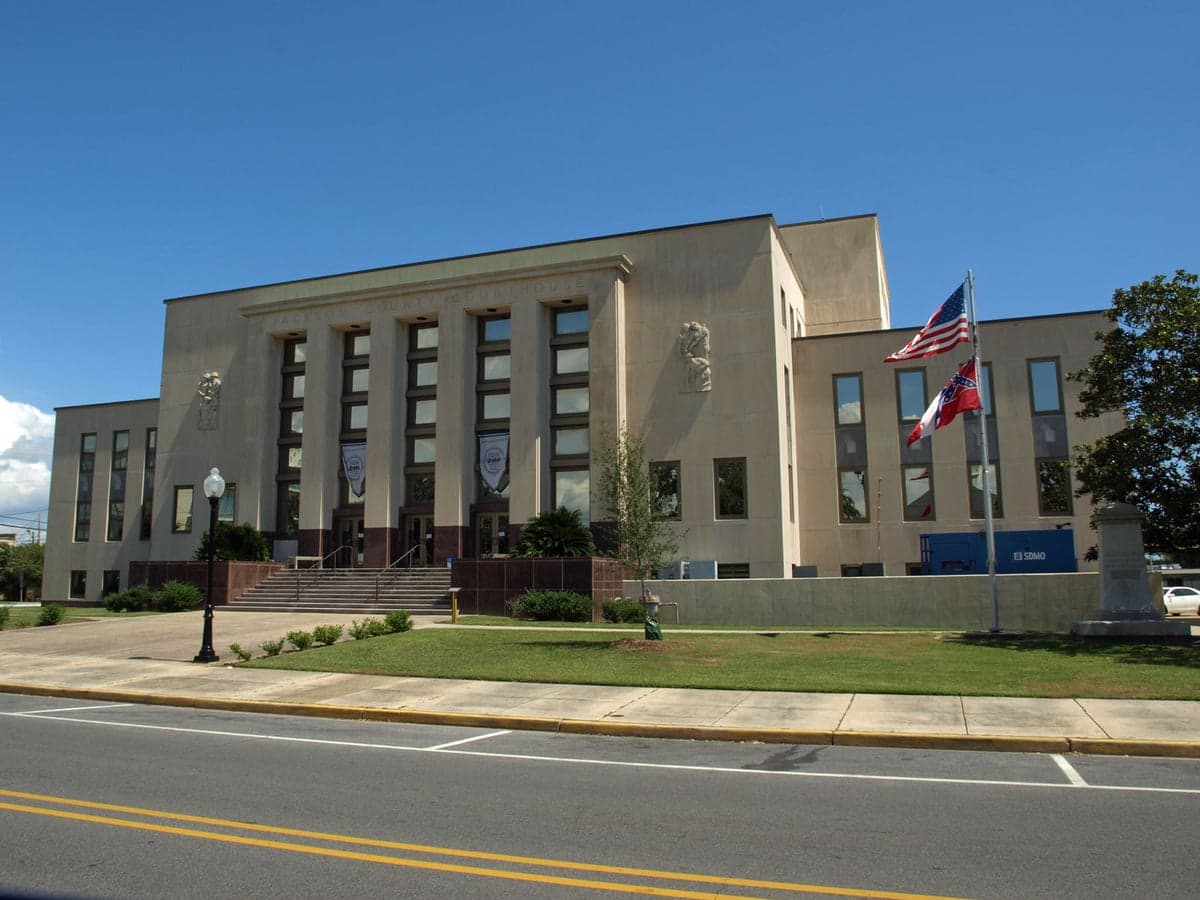
Photo: Wikipedia
Strategic Assessment of Jackson County
Meaningful friction. Expect exposure to either population pressure, blast zones, or natural disaster risk. Consider buying a retreat property.
What does the Strategic Assessment tell us?
Our Strategic Assessment grades tactical survivability of an area. Major population centers, military targets, fallout zones, natural disasters, and border exposure all drive risk — lower exposure means a more defensible position in a crisis.
This is heavily inspired by Joel Skousen's Strategic Relocation book. Highly recommended you checkout the book ($)What does this tell us?
Our Strategic Assessment grades tactical survivability of an area. Major population centers, military targets, fallout zones, natural disasters, and border exposure all drive risk — lower exposure means a more defensible position in a crisis.
This is heavily inspired by Joel Skousen's Strategic Relocation book. Highly recommended you checkout the book ($)Strategic Pillars

Key Distances
Strategic Assessment Analysis
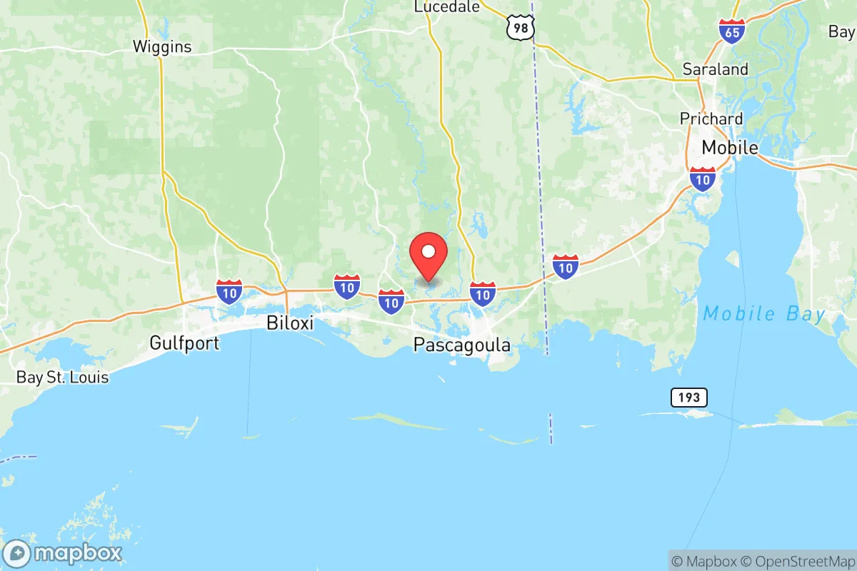
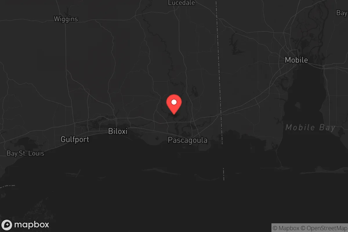
Jackson County, Mississippi, occupies a unique position on the Gulf Coast that offers a blend of strategic depth and industrial utility, but it is not without serious trade-offs for a relocator with a survivalist or prepper mindset. Located along the Mississippi Sound and bisected by the Pascagoula River, the county is anchored by the city of Pascagoula, with smaller communities like Moss Point, Gautier, and Ocean Springs providing a spread-out population base. The area’s resilience is tied directly to its geography: it sits far enough from the major hurricane landfall zones of Louisiana and the Florida Panhandle to avoid the worst of storm surge, yet it is close enough to the Port of Pascagoula and the massive Chevron Pascagoula Refinery to be a potential target in any major disruption. For a conservative-leaning individual or family looking to balance remoteness with access to critical infrastructure, Jackson County presents a mixed picture—strong on natural resources and local community, but exposed by its industrial and military proximity.
Geographic position and natural advantages for long-term self-sufficiency
Jackson County’s geography is its strongest card for a relocator seeking a defensible, resource-rich base. The county is part of the Gulf Coastal Plain, with the Pascagoula River—one of the last free-flowing river systems in the lower 48—running through its heart. This river provides a reliable freshwater source, abundant fish and wildlife, and a natural barrier to movement from the north and east. The county’s 50-plus miles of coastline along the Mississippi Sound offer access to the Gulf of Mexico for fishing and transport, but the barrier islands like Petit Bois and Horn Island provide a buffer against open-ocean threats. The terrain is low-lying, with extensive marsh and pine savanna, which limits large-scale agriculture but supports hunting, trapping, and timber. The city of Ocean Springs, with its higher elevation along the coastal ridge, offers some of the best defensible residential lots, while the more rural areas north of Interstate 10—around Vancleave and Wade—provide the kind of wooded, low-density living that preppers value. The county’s position roughly 100 miles east of New Orleans and 40 miles west of Mobile means it is not directly in the shadow of a major metropolitan collapse zone, but it is close enough to serve as a fallback area for those fleeing those cities.
Risks, exposures, and proximity to fallout-relevant landmarks
The same industrial assets that make Jackson County economically viable also make it a high-risk location in a national crisis scenario. The Chevron Pascagoula Refinery, one of the largest on the Gulf Coast, processes over 300,000 barrels of crude oil per day and sits directly on the Pascagoula River. A major accident, terrorist attack, or grid-down event at this facility could render large portions of the county uninhabitable due to toxic releases or fire. The Port of Pascagoula is a deepwater port handling military cargo, petroleum, and chemicals, and it is adjacent to the Ingalls Shipbuilding yard in Pascagoula, which builds U.S. Navy destroyers and amphibious ships. This shipyard is a high-value target for any adversary, and its presence means the county is within the blast radius of any kinetic or cyber attack aimed at disrupting naval logistics. Additionally, the county is within 30 miles of the Keesler Air Force Base in Biloxi, a major training and communications hub, and roughly 60 miles from the Stennis Space Center in Hancock County, which houses NASA rocket testing and Navy oceanographic operations. For a relocator concerned with fallout from a major conflict or civil unrest, these landmarks are liabilities—they concentrate federal attention, potential evacuation flows, and collateral damage risks. The county’s low elevation also makes it vulnerable to storm surge from a Category 3 or higher hurricane, though the barrier islands and the sound itself reduce the worst of the wave action compared to direct Gulf-front locations.
Practical resilience for a relocator: food, water, energy, and defensibility
For a family or individual serious about self-sufficiency, Jackson County offers a mixed bag of practical assets and vulnerabilities. Water is abundant: the Pascagoula River and its tributaries—the Escatawpa, Black, and Chickasawhay—provide year-round flow, and the county’s shallow aquifer is accessible via wells in most areas north of the coastal strip. However, the water table is high, and septic systems are common, so well placement and water testing are critical. Food production is limited by sandy, acidic soils, but the region’s long growing season (over 250 frost-free days) allows for raised-bed gardening, fruit trees (figs, satsumas, muscadines), and small livestock like goats and chickens. The Gulf and the Sound offer year-round protein from fish, shrimp, and crabs, but reliance on seafood means vulnerability to red tide events or industrial spills. Energy infrastructure is a concern: the county is served by Mississippi Power, a subsidiary of Southern Company, with a mix of natural gas and coal generation. The Chevron refinery and the nearby Plant Daniel coal plant in neighboring Greene County provide local generation, but the grid is exposed to hurricane damage and cyber threats. Solar panels are viable, with the region averaging over 200 sunny days per year, but battery storage is essential due to frequent storm-related outages. Defensibility is moderate: the county’s flat, marshy terrain offers few natural chokepoints, but the river systems and the dense pine forests north of I-10 create a natural buffer. The population density is low—roughly 140,000 people across 900 square miles—so rural areas like the Big Point community or the area around the Pascagoula River Wildlife Management Area offer good standoff distance from population centers. The county’s law enforcement presence is concentrated in Pascagoula and Ocean Springs, so rural relocators should plan for self-defense and community mutual aid.
The overall strategic picture for Jackson County is one of calculated risk. It is not a remote mountain redoubt, nor is it a coastal disaster zone—it sits in a middle ground that rewards preparation and penalizes complacency. The industrial and military assets in Pascagoula and the surrounding area are double-edged swords: they provide local jobs and infrastructure but also make the county a potential target in any major conflict or systemic collapse. For a conservative relocator who values access to water, timber, and Gulf resources, and who is willing to invest in off-grid energy, water filtration, and a robust community network, Jackson County offers a viable base of operations. The key is to locate north of the coastal floodplain, away from the refinery and shipyard, and to build relationships with the existing rural population—many of whom are already self-reliant and wary of government overreach. The county’s proximity to the Mississippi Gulf Coast’s tourism corridor (Biloxi, Gulfport) is a negative in a crisis, as it could funnel refugees eastward, but the Pascagoula River and the marshlands provide a natural barrier that can be leveraged. In short, Jackson County is a place for the prepared, not the naive—and for those willing to do the work, it offers a solid foundation for long-term resilience in an uncertain future.
* Values derived from national, state, county, city and local statistics and may differ in a specific area. Last updated: 2026-05-12T02:49:46.000Z
Narrative content on this page is AI-generated and may contain mistakes. Verify any details that matter before acting on them.
ReloMaps may earn a commission from affiliate links at no extra cost to you.